Elevation of Fire Tower Rd, Windsor, VA, USA
Location: United States > Virginia > Isle Of Wight County > Windsor > Windsor >
Longitude: -76.777896
Latitude: 36.873755
Elevation: 22m / 72feet
Barometric Pressure: 101KPa
Elevation Map:
Satellite Map:
Related Photos:

Lake Meade in the Fall

Ballard's Insurance & Feeds
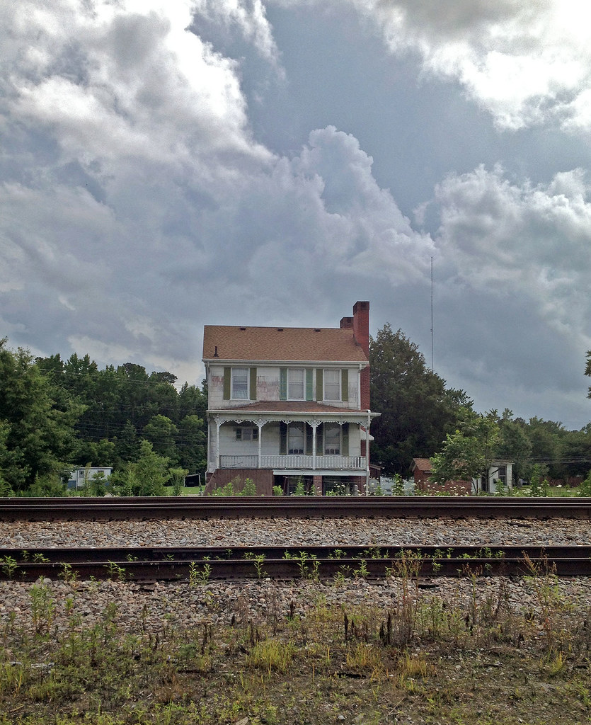
The House by the Tracks

2011JEK0826185.jpg
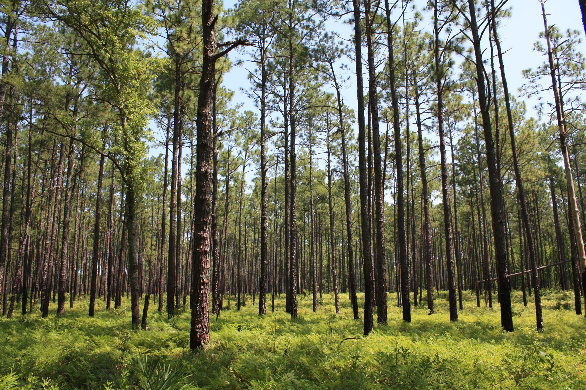
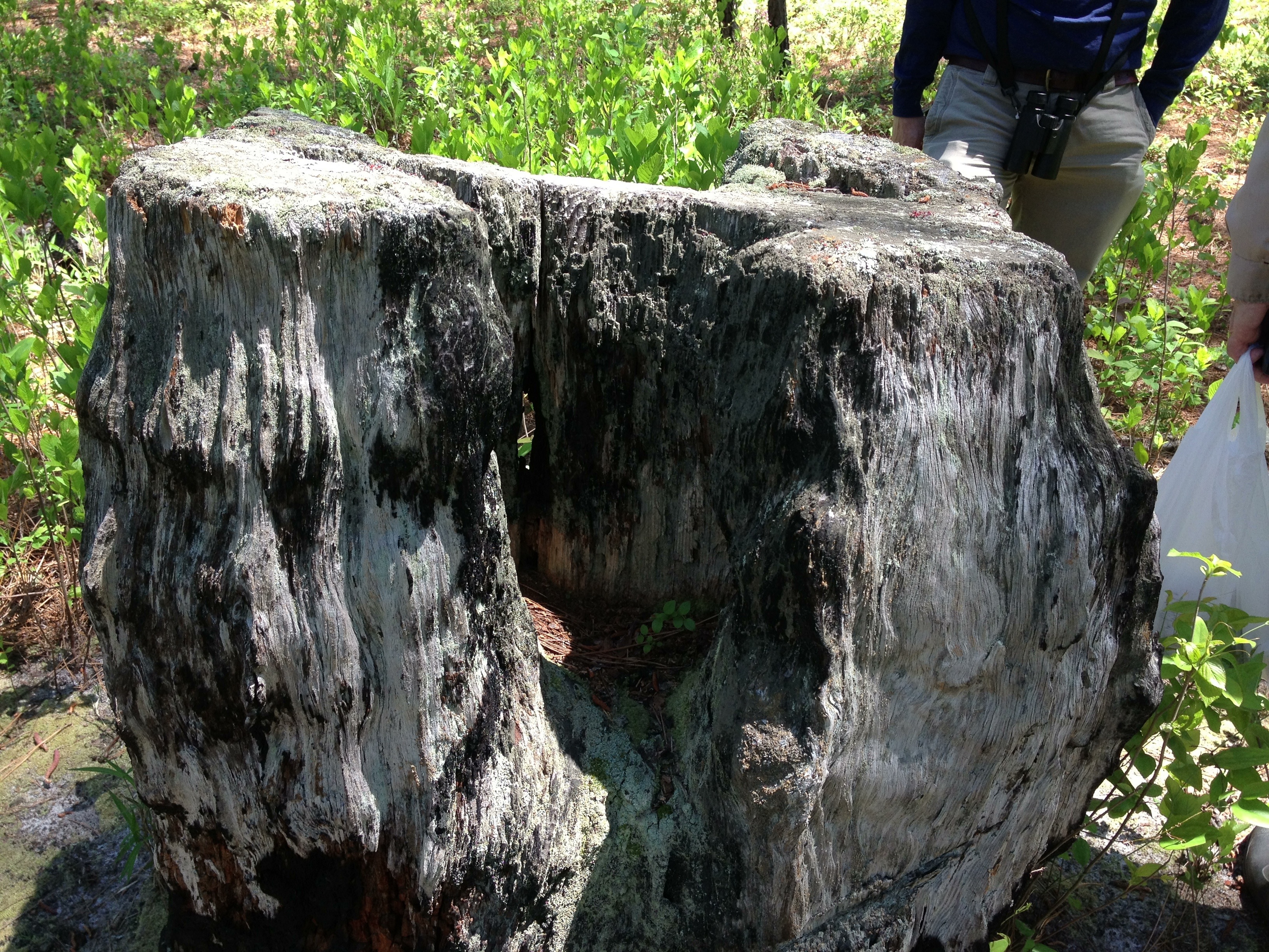
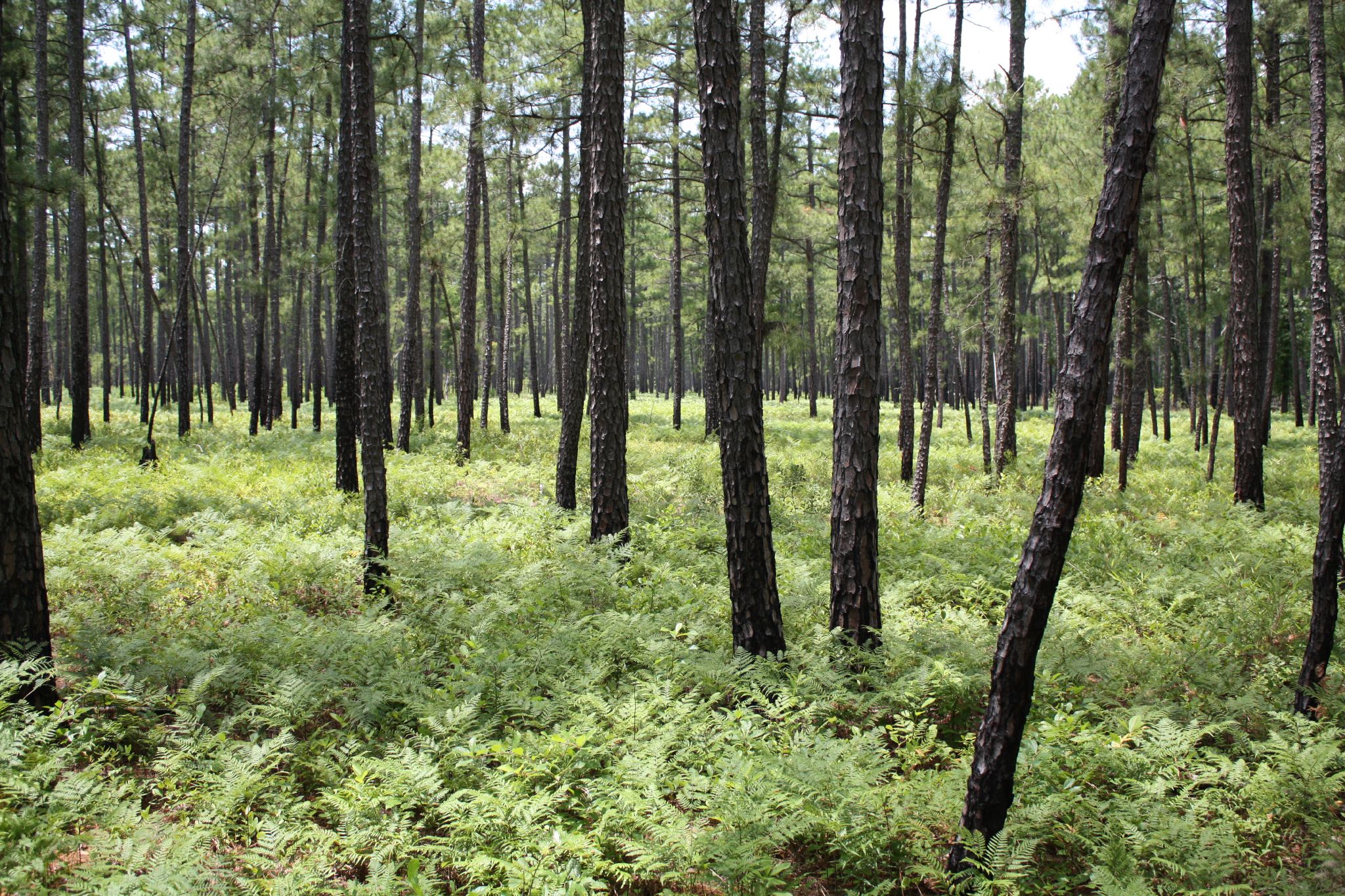
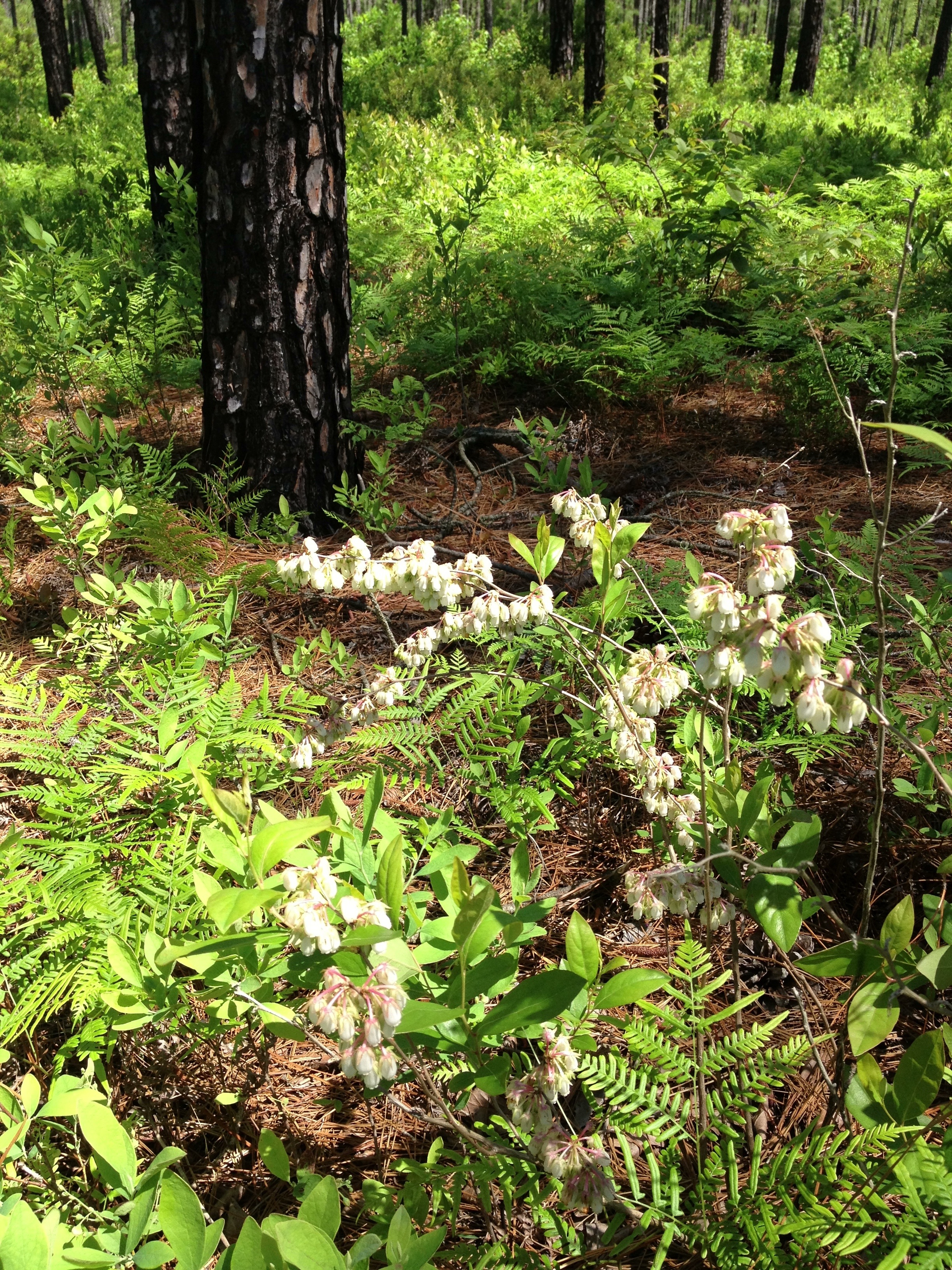
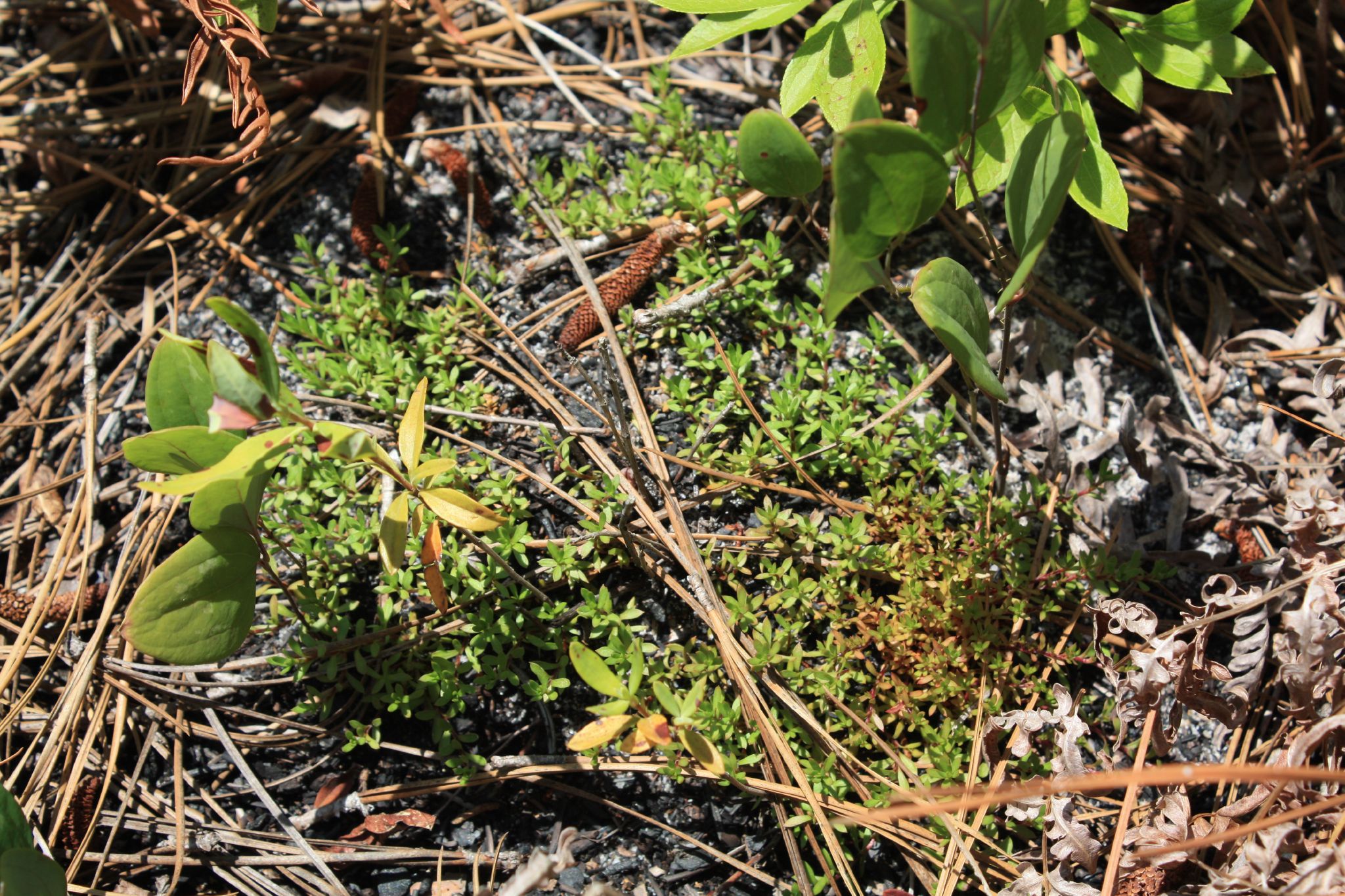
Zuni Pine Barrens

All three puppies at play

Lake Burnt Mills

Kings Fork Sunrise

Cloudy Day
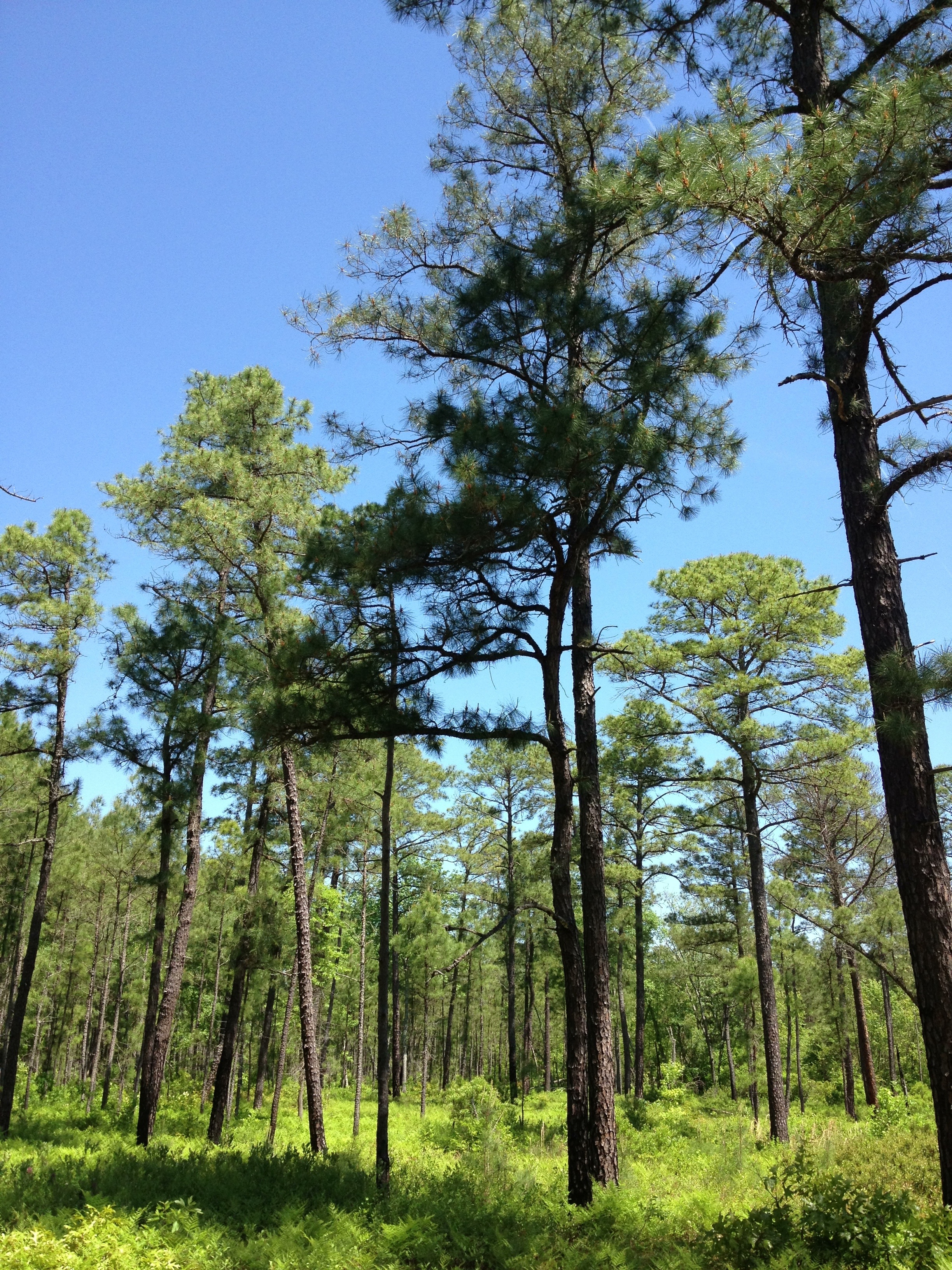
Zuni Pine Barrens
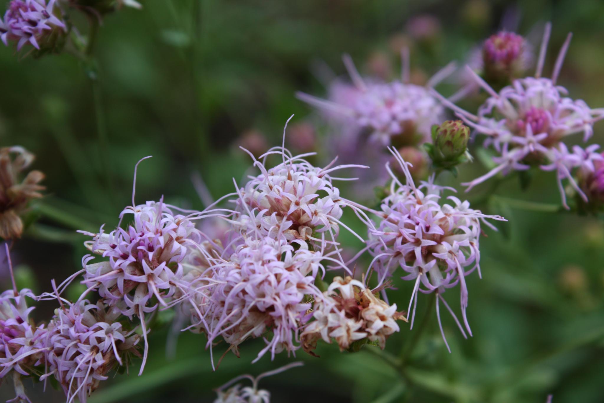
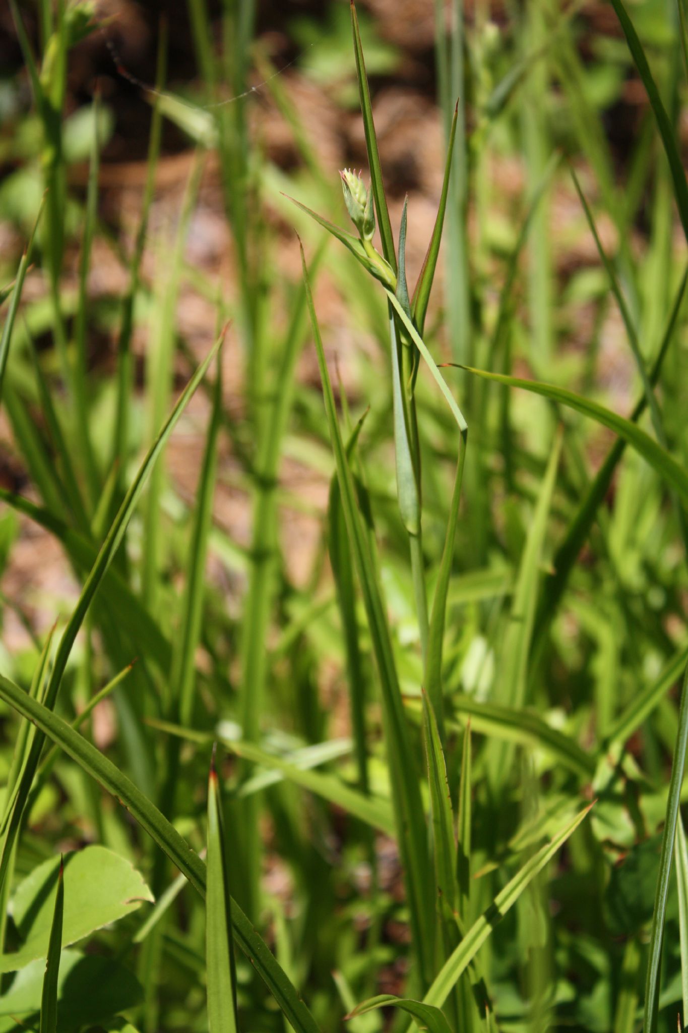
Carphephorus bellidifolius
Zuni Pine Barrens
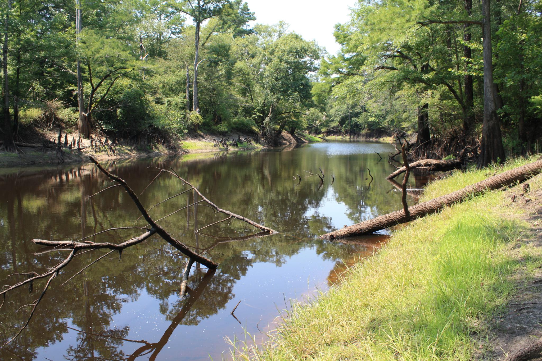
Blackwater River
Zuni Pine Barrens
2014-07-12 09.47.04 012 snack-lunch spot
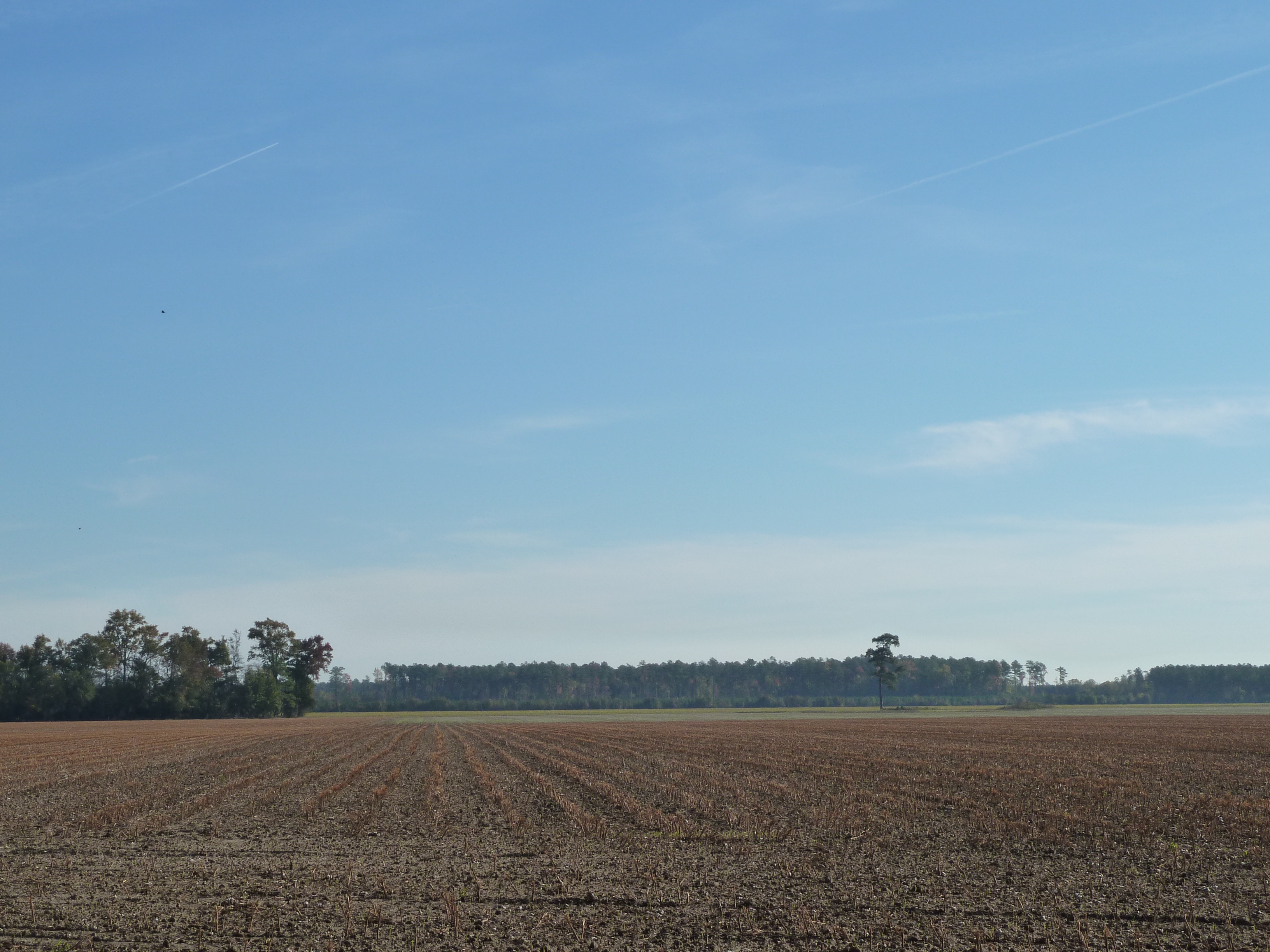
Harvested soybean field in southern VA
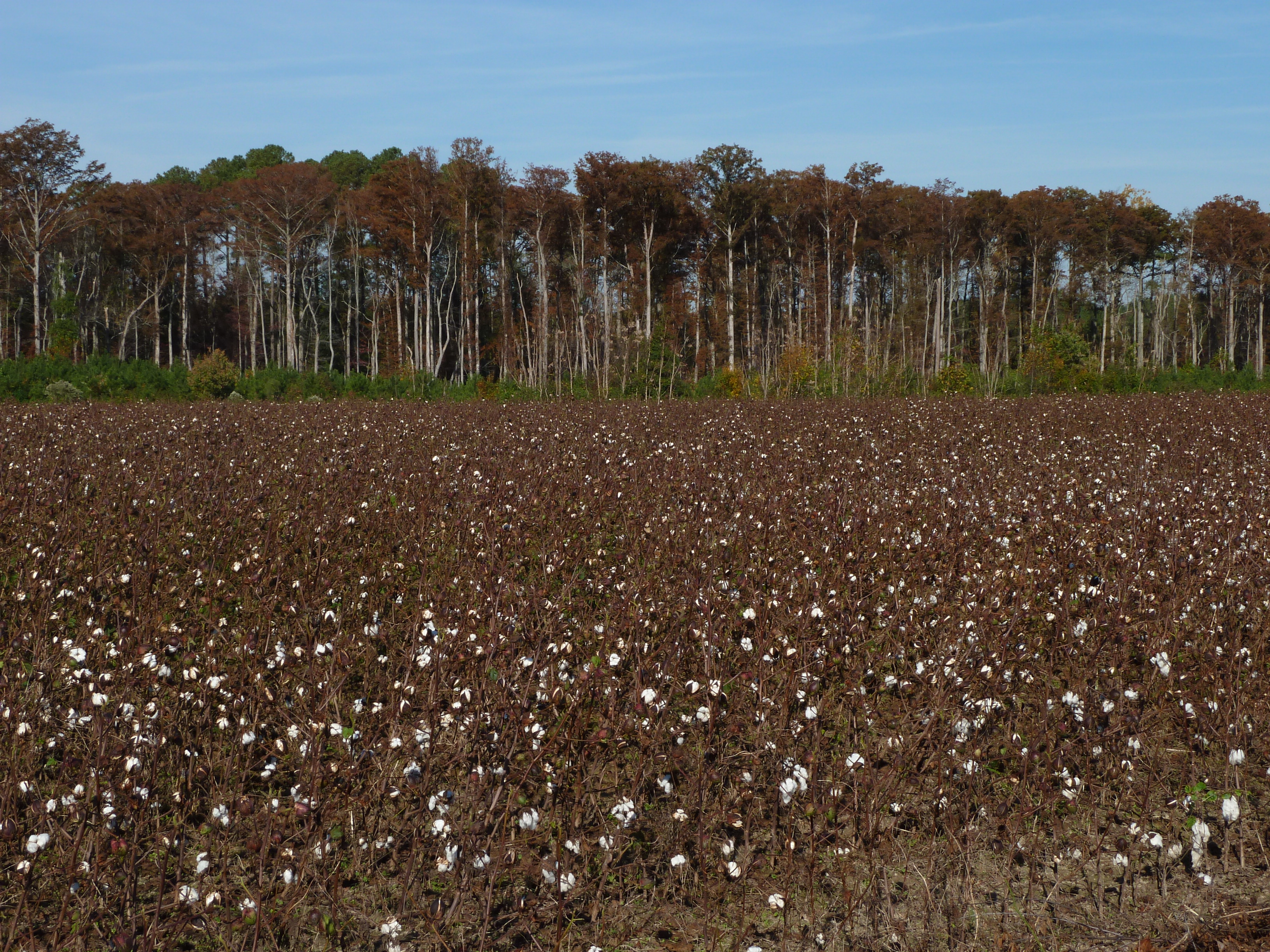
Cotton and Bald Cypress

Zuni Pine Barrens
Zuni Pine Barrens
Calopogon pallidus?
Zuni Pine Barrens
Pyxidanthera barbulata
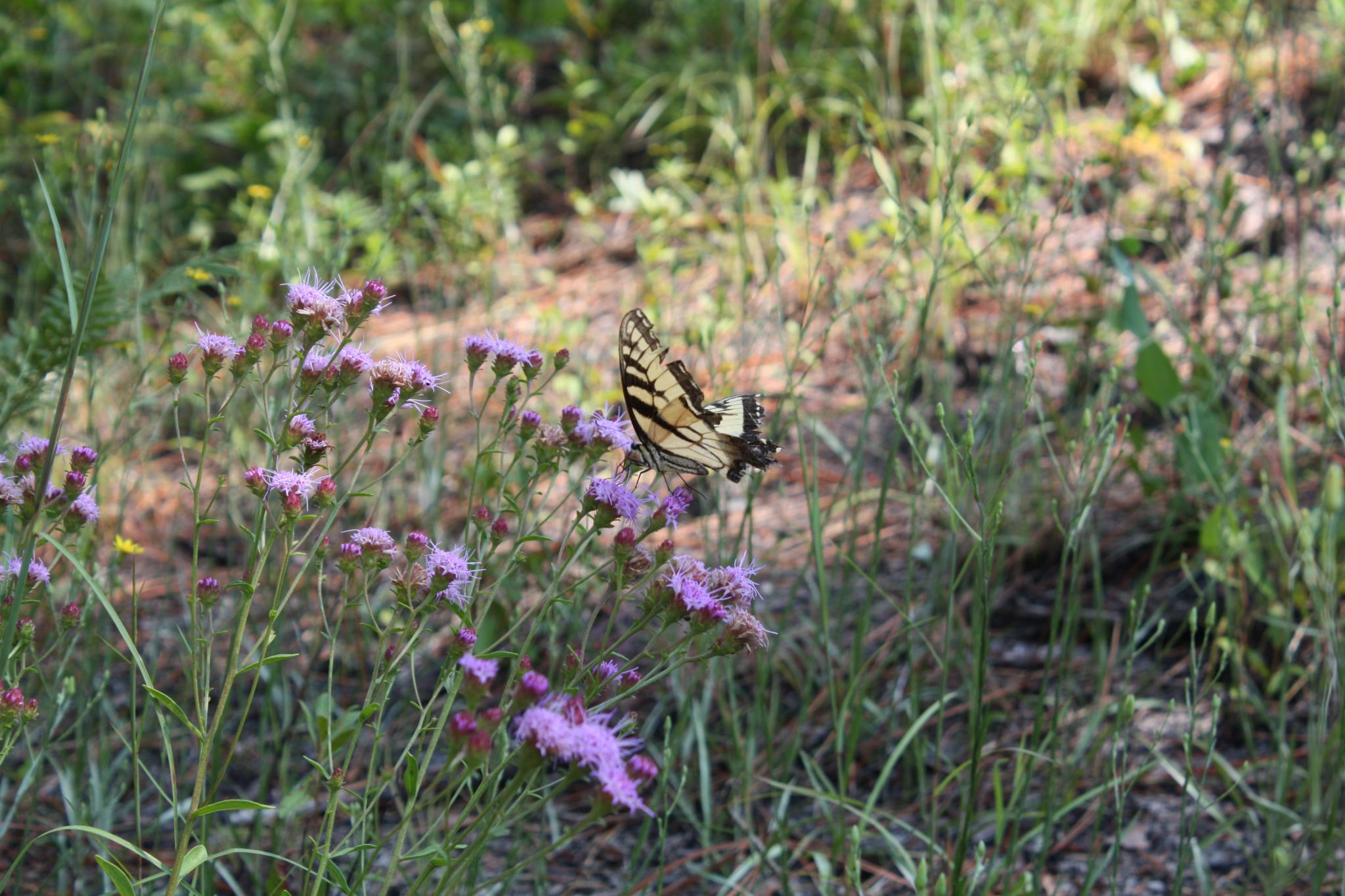
Carphephorus bellidifolius

Fire Tower Road Sunset
Topographic Map of Fire Tower Rd, Windsor, VA, USA
Find elevation by address:

Places near Fire Tower Rd, Windsor, VA, USA:
7651 Whispering Pines Trail
11455 Blue Ridge Trail
Windsor
1 N Court St, Windsor, VA, USA
Windsor
Courthouse Hwy, Windsor, VA, USA
Isle Of Wight
10000 E Windsor Blvd
5228 Duck Town Rd
20719 Murphy Mill Rd
Berlin And Ivor
28059 Dardens Mill Rd
Ivor
Main St, Ivor, VA, USA
35349 General Mahone Blvd
6264 Old Myrtle Rd
Old Myrtle Rd, Suffolk, VA, USA
Carrsville
Lake Prince Dr, Suffolk, VA, USA
Line Pine Rd, Franklin, VA, USA
Recent Searches:
- Elevation of Corso Fratelli Cairoli, 35, Macerata MC, Italy
- Elevation of Tallevast Rd, Sarasota, FL, USA
- Elevation of 4th St E, Sonoma, CA, USA
- Elevation of Black Hollow Rd, Pennsdale, PA, USA
- Elevation of Oakland Ave, Williamsport, PA, USA
- Elevation of Pedrógão Grande, Portugal
- Elevation of Klee Dr, Martinsburg, WV, USA
- Elevation of Via Roma, Pieranica CR, Italy
- Elevation of Tavkvetili Mountain, Georgia
- Elevation of Hartfords Bluff Cir, Mt Pleasant, SC, USA