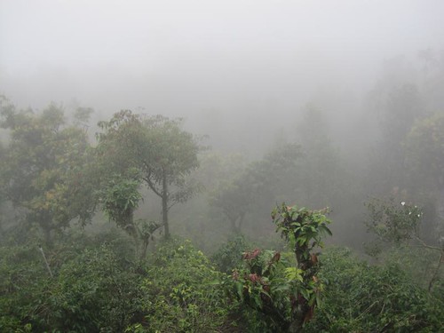
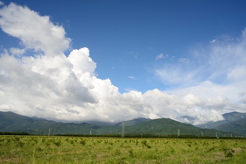
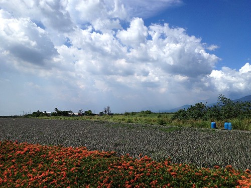
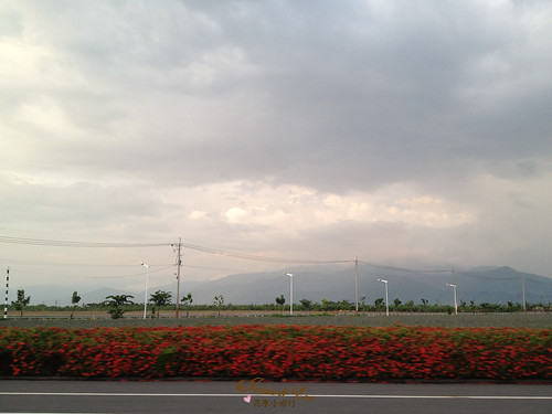
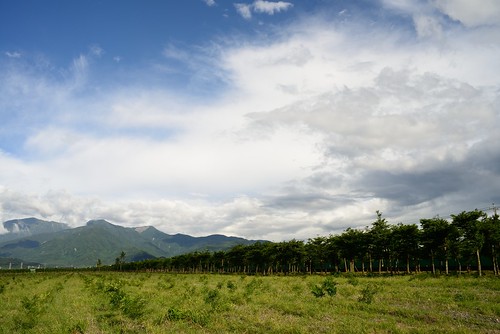
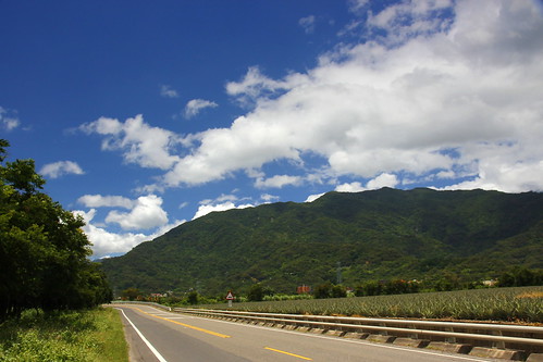
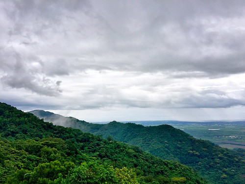
Elevation of Laiyi Township, Pingtung County, Taiwan
Location: Taiwan > Pingtung County >
Longitude: 120.6890055
Latitude: 22.5136159
Elevation: 829m / 2720feet
Barometric Pressure: 0KPa
Related Photos:
Topographic Map of Laiyi Township, Pingtung County, Taiwan
Find elevation by address:

Places in Laiyi Township, Pingtung County, Taiwan:
Places near Laiyi Township, Pingtung County, Taiwan:
Taiwan, Pingtung County, Laiyi Township, 20
來義
No. 64, Guyi Rd, Laiyi Township, Pingtung County, Taiwan
來義村
義林村
丹林村
No. 18, Guyi Rd, Laiyi Township, Pingtung County, Taiwan
No. 4, Dahoubuluo Communication Rd, Laiyi Township, Pingtung County, Taiwan
Taiwan, Pingtung County, Laiyi Township, 丹林路1號
No. 96, Xinrong Rd, Wanluan Township, Pingtung County, Taiwan
平和村
No. 30, Pinghecun Communication Rd, Taiwu Township, Pingtung County, Taiwan
Life In The Sky
Taiwan, Pingtung County, Taiwu Township, 良武巷1號
新置村
No. 28, Xinguang Rd, Wanluan Township, Pingtung County, Taiwan
武潭村
Taiwan, Pingtung County, Taiwu Township, 潭南巷54號
Taiwu Township
No. 42, Pingshan Rd, Xinpi Township, Pingtung County, Taiwan
Recent Searches:
- Elevation map of Greenland, Greenland
- Elevation of Sullivan Hill, New York, New York, 10002, USA
- Elevation of Morehead Road, Withrow Downs, Charlotte, Mecklenburg County, North Carolina, 28262, USA
- Elevation of 2800, Morehead Road, Withrow Downs, Charlotte, Mecklenburg County, North Carolina, 28262, USA
- Elevation of Yangbi Yi Autonomous County, Yunnan, China
- Elevation of Pingpo, Yangbi Yi Autonomous County, Yunnan, China
- Elevation of Mount Malong, Pingpo, Yangbi Yi Autonomous County, Yunnan, China
- Elevation map of Yongping County, Yunnan, China
- Elevation of North 8th Street, Palatka, Putnam County, Florida, 32177, USA
- Elevation of 107, Big Apple Road, East Palatka, Putnam County, Florida, 32131, USA
- Elevation of Jiezi, Chongzhou City, Sichuan, China
- Elevation of Chongzhou City, Sichuan, China
- Elevation of Huaiyuan, Chongzhou City, Sichuan, China
- Elevation of Qingxia, Chengdu, Sichuan, China
- Elevation of Corso Fratelli Cairoli, 35, Macerata MC, Italy
- Elevation of Tallevast Rd, Sarasota, FL, USA
- Elevation of 4th St E, Sonoma, CA, USA
- Elevation of Black Hollow Rd, Pennsdale, PA, USA
- Elevation of Oakland Ave, Williamsport, PA, USA
- Elevation of Pedrógão Grande, Portugal

