Elevation of Taiwan, 屏東縣萬巒鄉新置村
Location: Taiwan > Pingtung County > Wanluan Township >
Longitude: 120.6142365
Latitude: 22.545357
Elevation: 55m / 180feet
Barometric Pressure: 0KPa
Related Photos:

#三平#fujifilm#X100

因棧道施工,只能遠望涓涓細流。 Waterfall Mountain View Trees at 涼山瀑布

Mountain View Trees at 涼山瀑布

Trees Mountain View Landscape 橫生枝節 at 涼山瀑布

Surrounding View

Surrounding View

一個很像土地公廟的建築

20150226-DSC04381

20150226-DSC04386

First view of abandoned Dashun Hospital 大順醫院

An oblique view of Dashun Hospital 大順醫院

P8170058 (1)

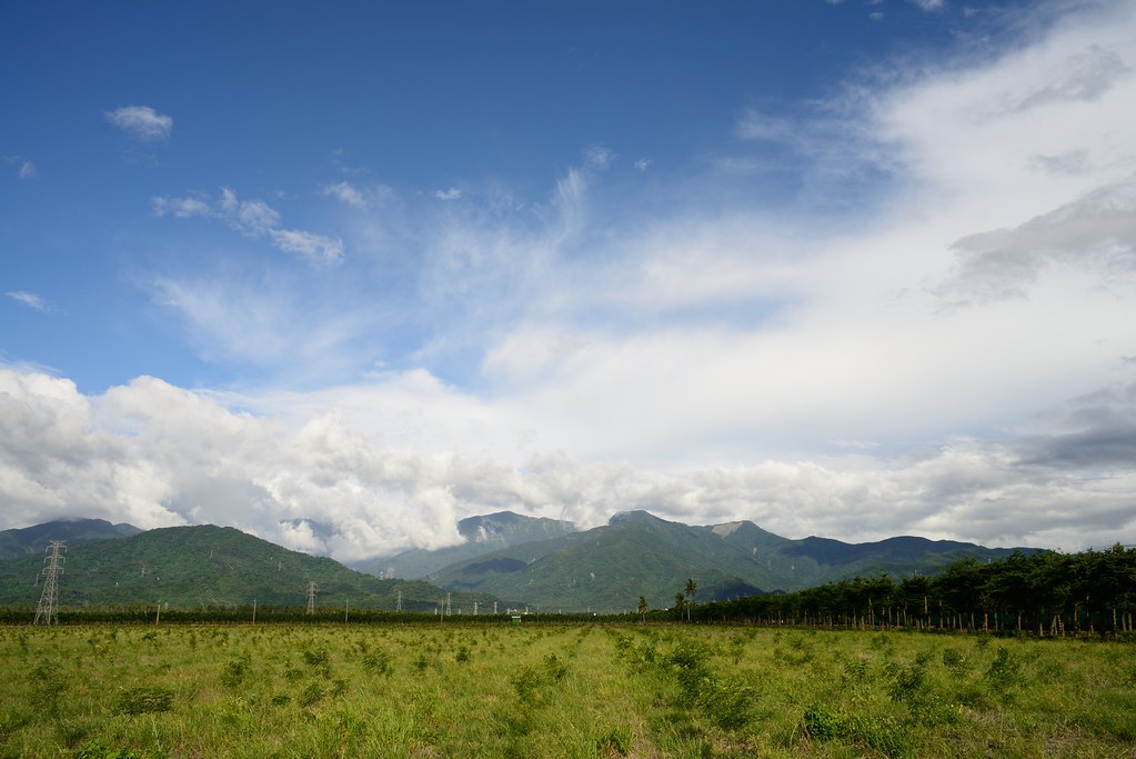
沿山公路風景 Yanshan Highway, Ping-tung city, Taiwan
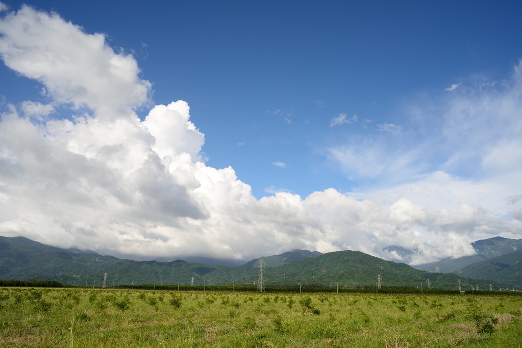
2012-The Sky_012
20130729墾丁遊
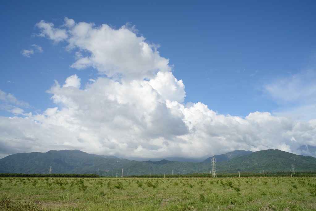
2012-The Sky_006

DSC_4172~2_20150505182508661
2012-The Sky_015

Liang Shan waterfall, Pington, Taiwan.

2011-11-16_17-01-43_15
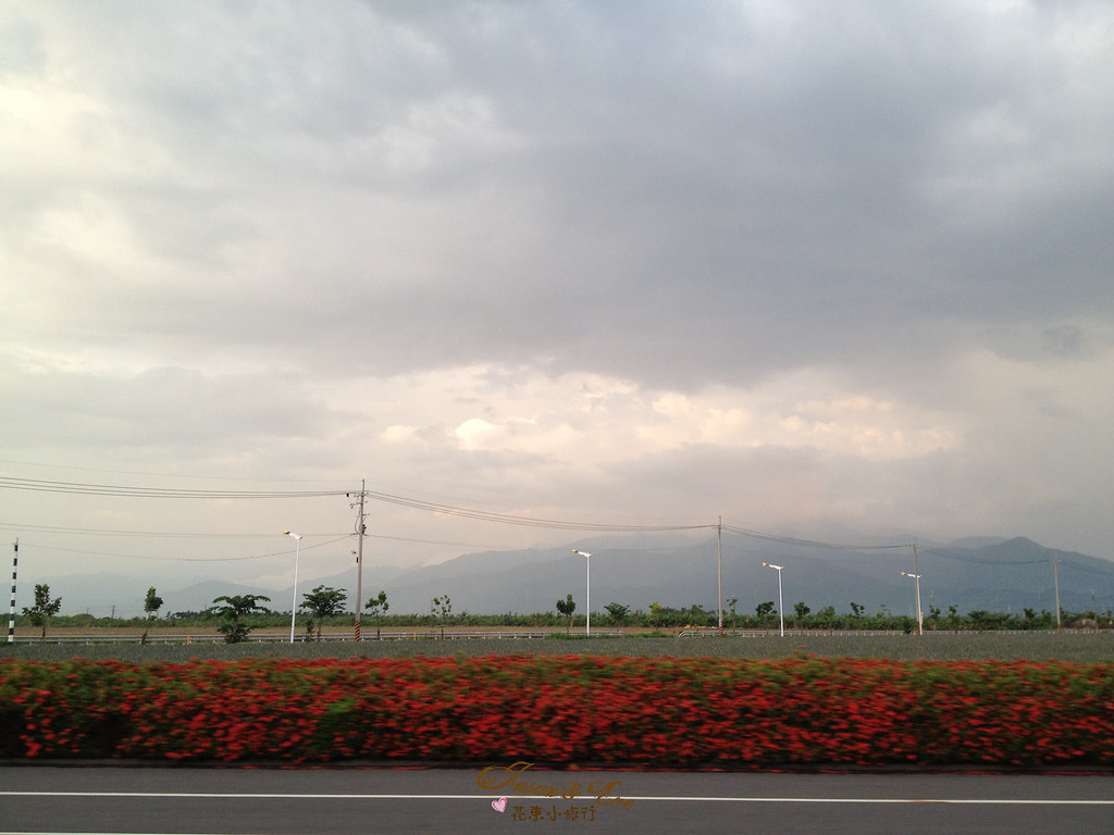
花東小旅行 DAY8

2012-The Sky_016

20151227 排骨陳竹田別野一日遊
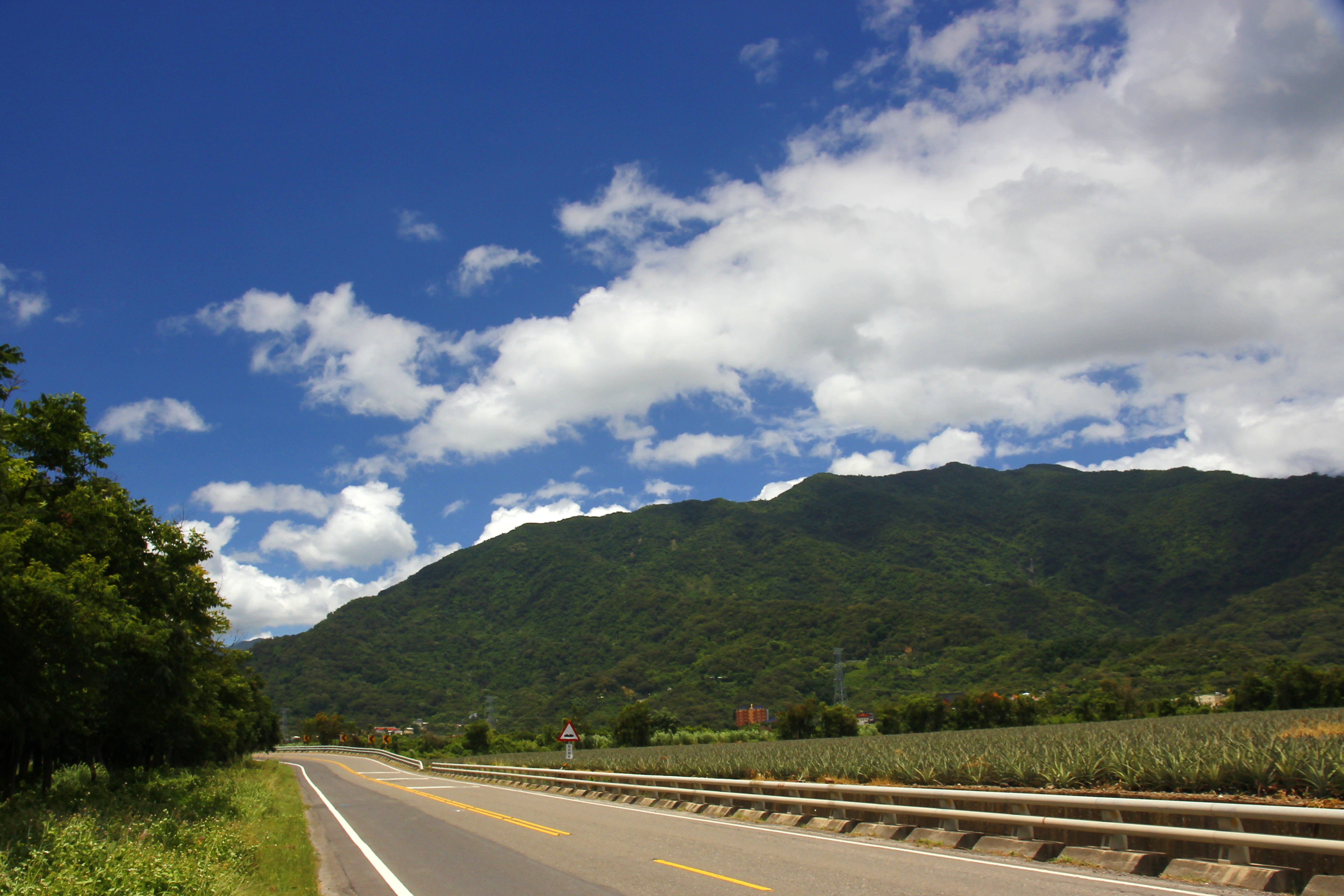
沿山公路
Topographic Map of Taiwan, 屏東縣萬巒鄉新置村
Find elevation by address:

Places in Taiwan, 屏東縣萬巒鄉新置村:
No. 28, Xinguang Rd, Wanluan Township, Pingtung County, Taiwan
No. 96, Xinrong Rd, Wanluan Township, Pingtung County, Taiwan
Places near Taiwan, 屏東縣萬巒鄉新置村:
No. 96, Xinrong Rd, Wanluan Township, Pingtung County, Taiwan
No. 28, Xinguang Rd, Wanluan Township, Pingtung County, Taiwan
No. 30, Pinghecun Communication Rd, Taiwu Township, Pingtung County, Taiwan
Linhou Silin
平和村
No. 17, Jiaxing Rd, Wanluan Township, Pingtung County, Taiwan
Taiwan, Pingtung County, Laiyi Township, 丹林路1號
佳和村
No. 42, Pingshan Rd, Xinpi Township, Pingtung County, Taiwan
Taiwan, Pingtung County, Taiwu Township, 潭南巷54號
Wanluan Township
No. 18, Guyi Rd, Laiyi Township, Pingtung County, Taiwan
萬隆村
丹林村
Life In The Sky
No. 62, Zhongshan Rd, Xinpi Township, Pingtung County, Taiwan
No. 64, Guyi Rd, Laiyi Township, Pingtung County, Taiwan
Taiwan, Pingtung County, Taiwu Township, 佳平巷號
武潭村
No. 4, Dahoubuluo Communication Rd, Laiyi Township, Pingtung County, Taiwan
Recent Searches:
- Elevation map of Greenland, Greenland
- Elevation of Sullivan Hill, New York, New York, 10002, USA
- Elevation of Morehead Road, Withrow Downs, Charlotte, Mecklenburg County, North Carolina, 28262, USA
- Elevation of 2800, Morehead Road, Withrow Downs, Charlotte, Mecklenburg County, North Carolina, 28262, USA
- Elevation of Yangbi Yi Autonomous County, Yunnan, China
- Elevation of Pingpo, Yangbi Yi Autonomous County, Yunnan, China
- Elevation of Mount Malong, Pingpo, Yangbi Yi Autonomous County, Yunnan, China
- Elevation map of Yongping County, Yunnan, China
- Elevation of North 8th Street, Palatka, Putnam County, Florida, 32177, USA
- Elevation of 107, Big Apple Road, East Palatka, Putnam County, Florida, 32131, USA
- Elevation of Jiezi, Chongzhou City, Sichuan, China
- Elevation of Chongzhou City, Sichuan, China
- Elevation of Huaiyuan, Chongzhou City, Sichuan, China
- Elevation of Qingxia, Chengdu, Sichuan, China
- Elevation of Corso Fratelli Cairoli, 35, Macerata MC, Italy
- Elevation of Tallevast Rd, Sarasota, FL, USA
- Elevation of 4th St E, Sonoma, CA, USA
- Elevation of Black Hollow Rd, Pennsdale, PA, USA
- Elevation of Oakland Ave, Williamsport, PA, USA
- Elevation of Pedrógão Grande, Portugal