Elevation of Lairg IV27 4EH, UK
Location: United Kingdom > Highland > Lairg >
Longitude: -4.4024247
Latitude: 58.0303172
Elevation: 124m / 407feet
Barometric Pressure: 0KPa
Related Photos:
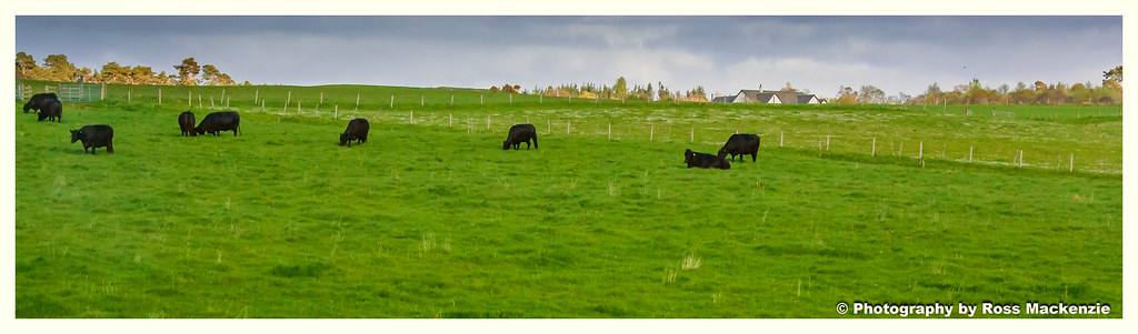
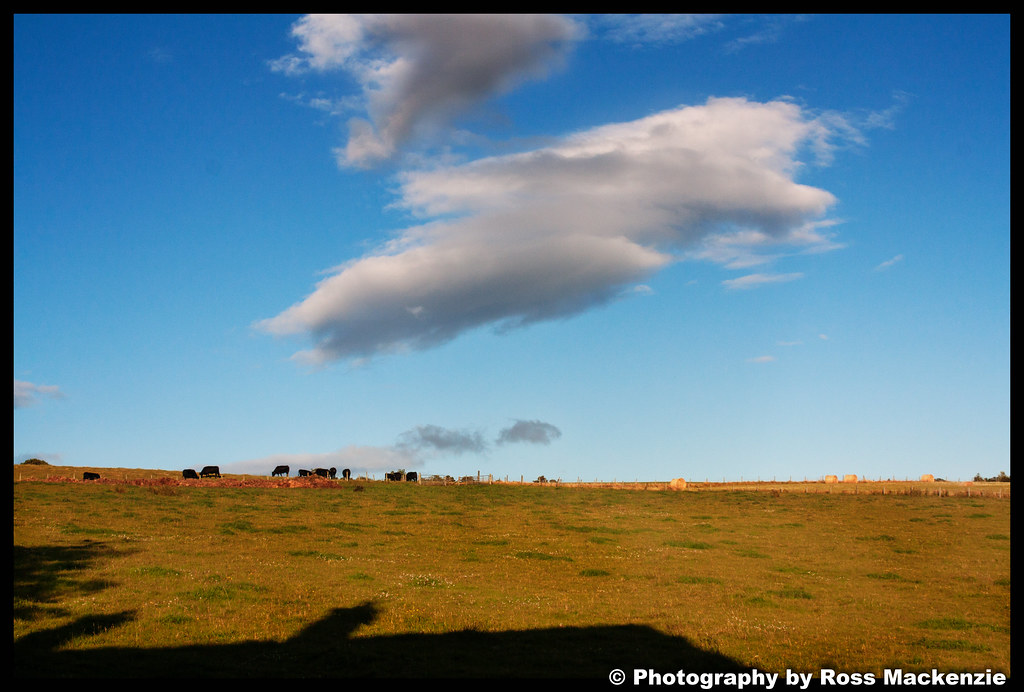
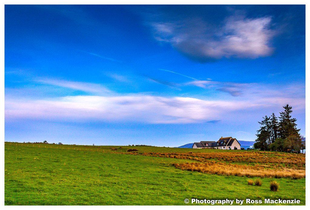
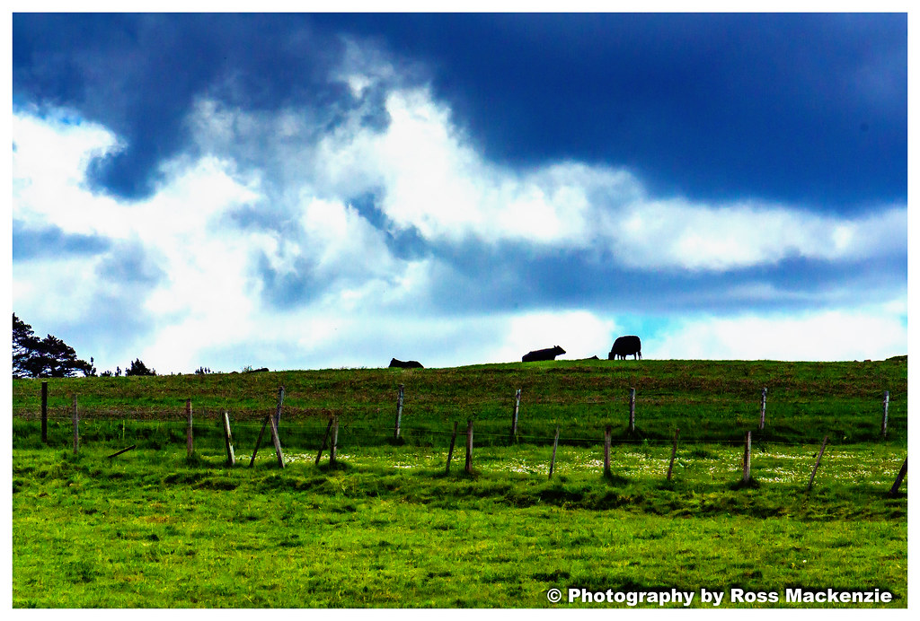
Cows in the field

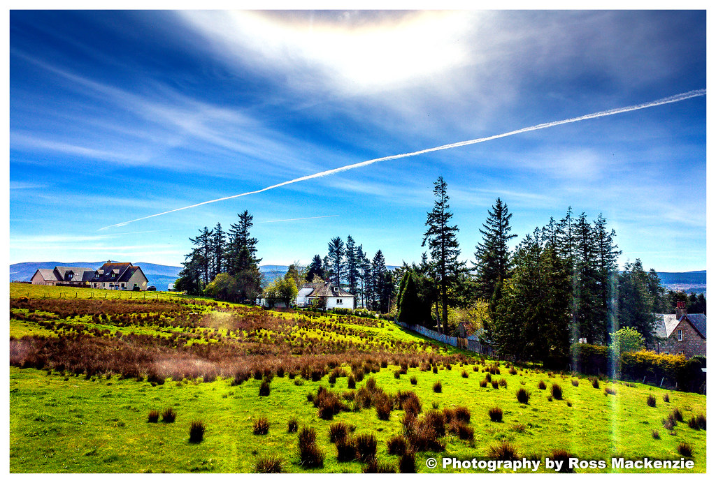
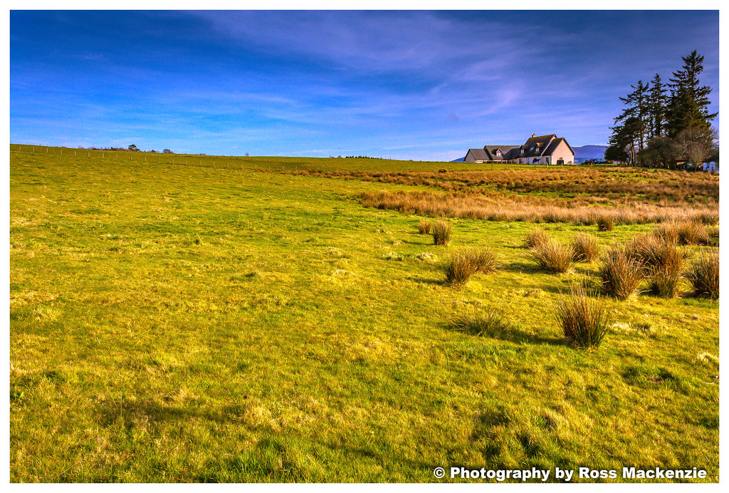
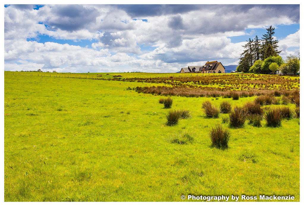
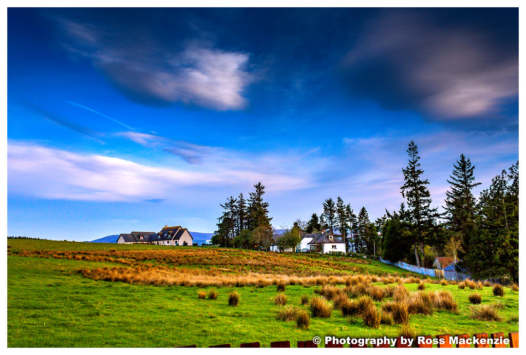
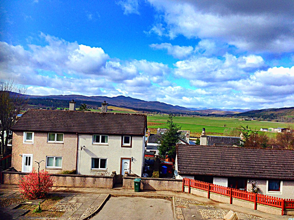
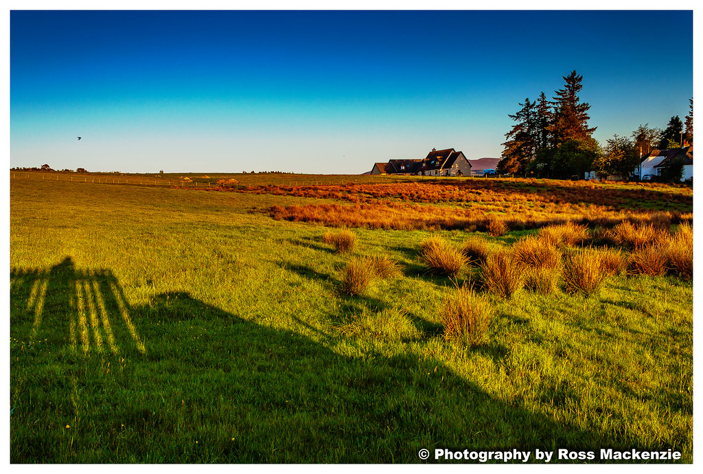
The view
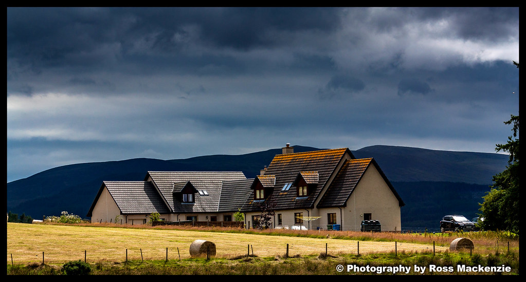
The view
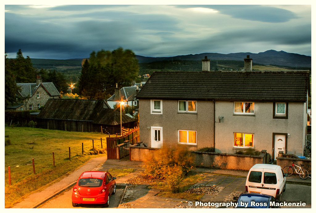
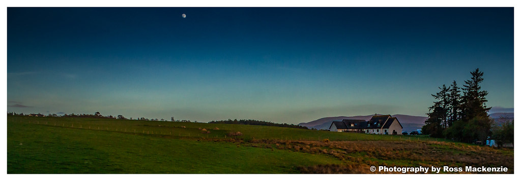
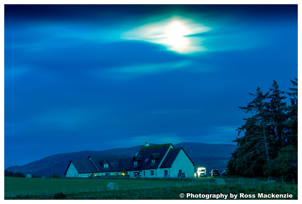
Night time view
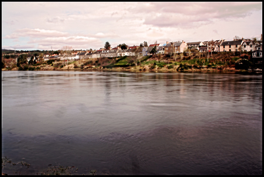
Bonar Bridge
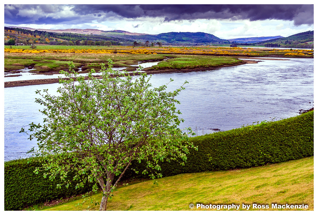
The view
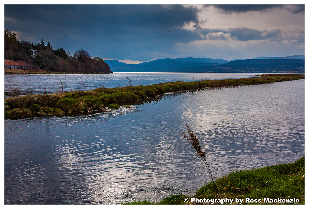
Bonar Bridge(moving water)
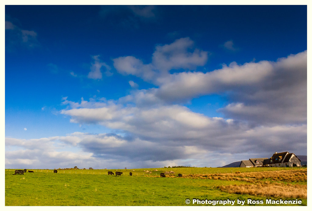
Cows in the field
Bonar Bridge
Bonar Bridge
Bonar Bridge
BONAR BRIDGE
BONAR BRIDGE

Bonar Bridge
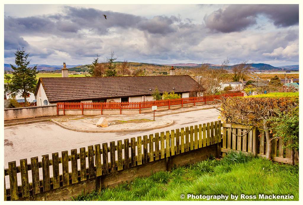
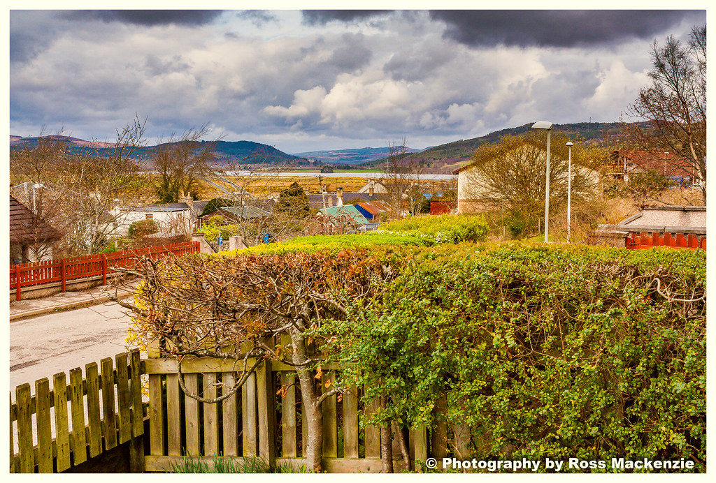
The view
BONAR BRIDGE
BONAR BRIDGE
Bonar bridge
BONAR BRIDGE

Built to last
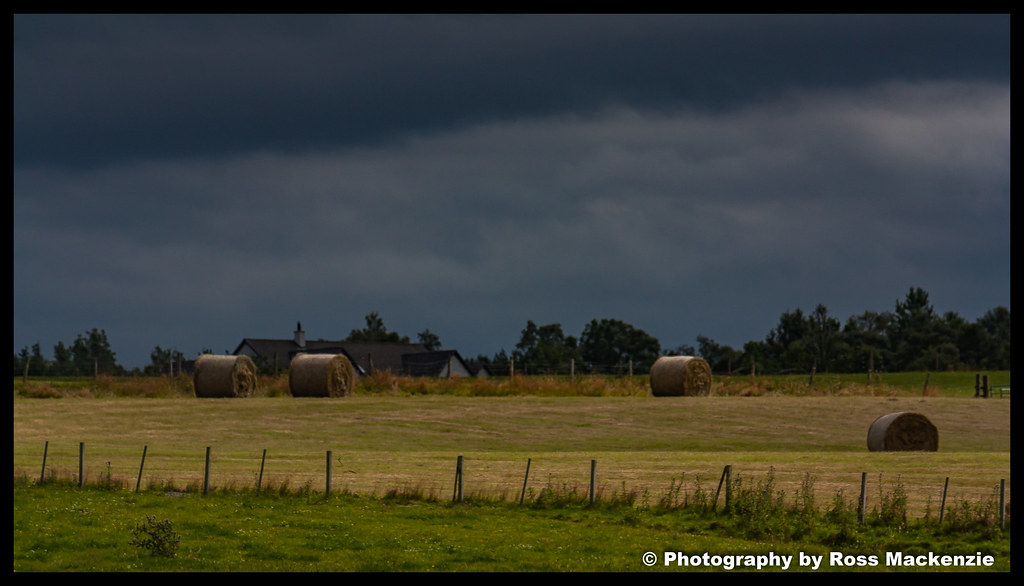
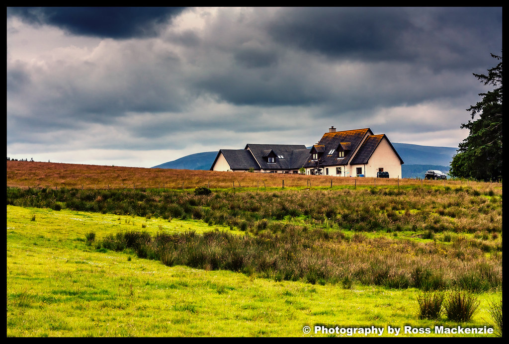
The view
Northern Highlands
BONAR BRIDGE
BONAR BRIDGE
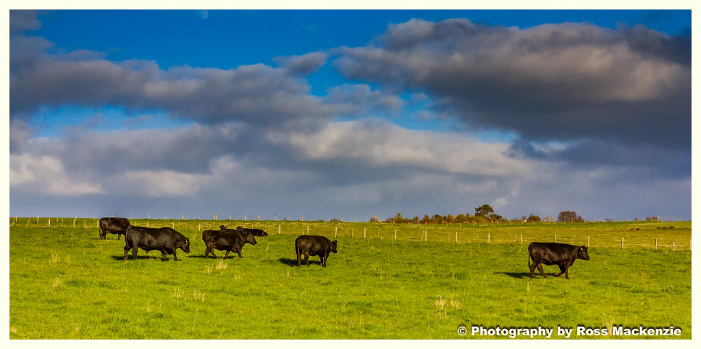
Cows in the field
bonar bridge at night

Lairg, Sutherland

Cows in the field

The falls of shin Scotland
Bonar Bridge

Cows in the field
Bonar Bridge
Bonar Bridge
Topographic Map of Lairg IV27 4EH, UK
Find elevation by address:

Places near Lairg IV27 4EH, UK:
Lairg
A836
A836
Invershin
The Crask Inn
Mid Fearn
2 The Steet Easter Fearn Ardgay, Ardgay IV24 3DL, UK
Easter Fearn
Altnaharra
2 Dublin Cottages, Ardross, Alness IV17 0YG, UK
Ardross Castle Enterprises
Ardross
Alladale River
Fyrish Monument.
8 The Orchard
Iv17 0we
Alness
Averon Road
Syre
Dalmore
Recent Searches:
- Elevation of Pasing, Munich, Bavaria, 81241, Germany
- Elevation of 24, Auburn Bay Crescent SE, Auburn Bay, Calgary, Alberta, T3M 0A6, Canada
- Elevation of Denver, 2314, Arapahoe Street, Five Points, Denver, Colorado, 80205, USA
- Elevation of Community of the Beatitudes, 2924, West 43rd Avenue, Sunnyside, Denver, Colorado, 80211, USA
- Elevation map of Litang County, Sichuan, China
- Elevation map of Madoi County, Qinghai, China
- Elevation of 3314, Ohio State Route 114, Payne, Paulding County, Ohio, 45880, USA
- Elevation of Sarahills Drive, Saratoga, Santa Clara County, California, 95070, USA
- Elevation of Town of Bombay, Franklin County, New York, USA
- Elevation of 9, Convent Lane, Center Moriches, Suffolk County, New York, 11934, USA
- Elevation of Saint Angelas Convent, 9, Convent Lane, Center Moriches, Suffolk County, New York, 11934, USA
- Elevation of 131st Street Southwest, Mukilteo, Snohomish County, Washington, 98275, USA
- Elevation of 304, Harrison Road, Naples, Cumberland County, Maine, 04055, USA
- Elevation of 2362, Timber Ridge Road, Harrisburg, Cabarrus County, North Carolina, 28075, USA
- Elevation of Ridge Road, Marshalltown, Marshall County, Iowa, 50158, USA
- Elevation of 2459, Misty Shadows Drive, Pigeon Forge, Sevier County, Tennessee, 37862, USA
- Elevation of 8043, Brightwater Way, Spring Hill, Williamson County, Tennessee, 37179, USA
- Elevation of Starkweather Road, San Luis, Costilla County, Colorado, 81152, USA
- Elevation of 5277, Woodside Drive, Baton Rouge, East Baton Rouge Parish, Louisiana, 70808, USA
- Elevation of 1139, Curtin Street, Shepherd Park Plaza, Houston, Harris County, Texas, 77018, USA