Elevation of Lagadwadi, Maharashtra, India
Location: India > Maharashtra > Satara >
Longitude: 74.0395596
Latitude: 17.8626168
Elevation: 788m / 2585feet
Barometric Pressure: 92KPa
Elevation Map:
Satellite Map:
Related Photos:

Vandan fort

Ganpat Jagtap on his farm.

Ganpat Jagtap on his farm at Randullabad1

Weather station

.

The place lonely but peaceful. #photooftheday #instagram #dailyinsta #instamood #instalove #trees #peace #lovefornature #coolclimate #lovenature #peaceofmind

Windmills of God
Design 2016.5.25.6

Design 2016.5.25.7

Reflection 2016.5.25.6

Reflection 2016.5.25.7

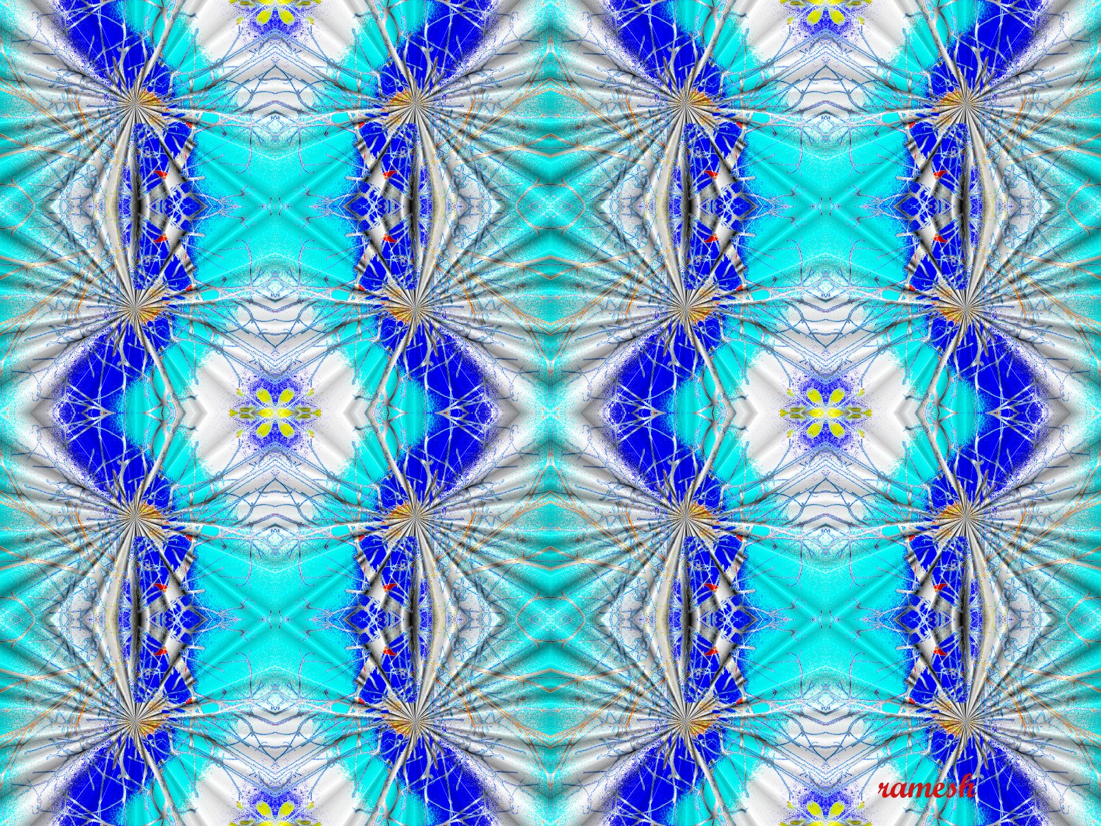
Abstract 2016.5.25.6

Abstract 2016.5.25.7

Amazing Circles 2016.5.25.6

Amazing Circles 2016.5.25.7

Abstract 2016.5.25.5

Amazing Circles 2016.5.25.5

Design 2016.5.25.5

Reflection 2016.5.25.5

2015-09-17_11-27-51

2015-09-17_11-25-44
Topographic Map of Lagadwadi, Maharashtra, India
Find elevation by address:

Places near Lagadwadi, Maharashtra, India:
Maparwadi
Kalangwadi
Degaon
Govedigar
Banawadi
Kholvadi
Jamb
Anpatwadi
Wai - Satara Road
Nikamwadi
Shirgaon
Wagholi
Bhuinj
Anavadi
Khandobachi Wadi
Mardhe
Chindhawali
Khadki
Limb
Limb Satara Road
Recent Searches:
- Elevation of Corso Fratelli Cairoli, 35, Macerata MC, Italy
- Elevation of Tallevast Rd, Sarasota, FL, USA
- Elevation of 4th St E, Sonoma, CA, USA
- Elevation of Black Hollow Rd, Pennsdale, PA, USA
- Elevation of Oakland Ave, Williamsport, PA, USA
- Elevation of Pedrógão Grande, Portugal
- Elevation of Klee Dr, Martinsburg, WV, USA
- Elevation of Via Roma, Pieranica CR, Italy
- Elevation of Tavkvetili Mountain, Georgia
- Elevation of Hartfords Bluff Cir, Mt Pleasant, SC, USA