Elevation of Kalangwadi, Maharashtra, India
Location: India > Maharashtra > Satara >
Longitude: 74.01973
Latitude: 17.8372384
Elevation: 732m / 2402feet
Barometric Pressure: 93KPa
Elevation Map:
Satellite Map:
Related Photos:

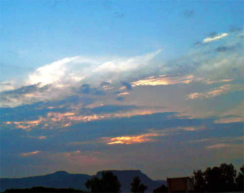
... view from Meruling plateau

... view from Meruling plateau
Untitled-2

Meruling plateau

Meruling plateau

Meruling plateau

Meruling plateau

Acacia ¿ species ?

Pimpinella ¿ species ?

Pimpinella ¿ species ?

Vandan fort
Topographic Map of Kalangwadi, Maharashtra, India
Find elevation by address:

Places near Kalangwadi, Maharashtra, India:
Govedigar
Nikamwadi
Jamb
Maparwadi
Wai - Satara Road
Kholvadi
Lagadwadi
Mardhe
Degaon
Limb
Limb Satara Road
Banawadi
Khadki
Virmade Toll Plaza
Khandobachi Wadi
Chandawadi
Chindhawali
Bhuinj
Shirgaon
Anewadi
Recent Searches:
- Elevation of Corso Fratelli Cairoli, 35, Macerata MC, Italy
- Elevation of Tallevast Rd, Sarasota, FL, USA
- Elevation of 4th St E, Sonoma, CA, USA
- Elevation of Black Hollow Rd, Pennsdale, PA, USA
- Elevation of Oakland Ave, Williamsport, PA, USA
- Elevation of Pedrógão Grande, Portugal
- Elevation of Klee Dr, Martinsburg, WV, USA
- Elevation of Via Roma, Pieranica CR, Italy
- Elevation of Tavkvetili Mountain, Georgia
- Elevation of Hartfords Bluff Cir, Mt Pleasant, SC, USA