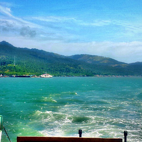
Elevation of Labuyo, Tangub City, Misamis Occidental, Philippines
Longitude: 123.725228
Latitude: 8.0676105
Elevation: -10000m / -32808feet
Barometric Pressure: 295KPa
Elevation Map:
Satellite Map:
Related Photos:
![flickrandroidapp:filter=none daimashippingbarge](https://live.staticflickr.com/7362/12698913994_b568f5283e.jpg)
the sitting sun
![square squareformat iphoneography instagramapp uploaded:by=instagram](https://live.staticflickr.com/7464/15843236055_7abde1a0dd.jpg)
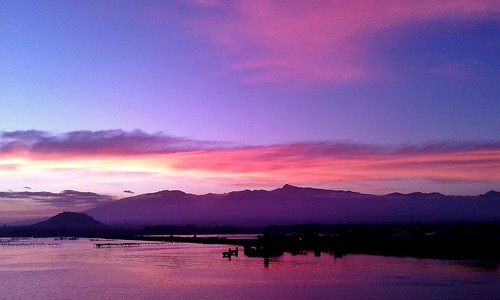
Panguil Bay #sunset
![](https://live.staticflickr.com/4693/25454281288_cae7732a21.jpg)
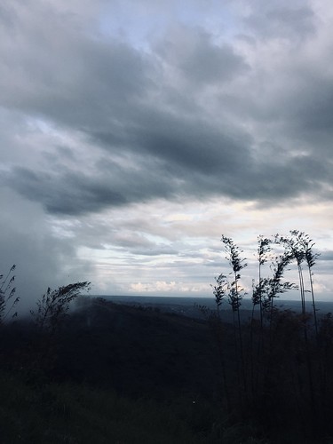
80F 850M above sea level
![mtmalindang mountmalindang mindanao lanaodelnorte misamisoccidental philippines](https://live.staticflickr.com/5506/30664145045_80fce92c6e.jpg)
Mt Malindang
![valencia square squareformat iphoneography instagramapp uploaded:by=instagram foursquare:venue=4cc36a1e91413704a4cebb55](https://live.staticflickr.com/7034/6587548187_72bb1c7fff.jpg)
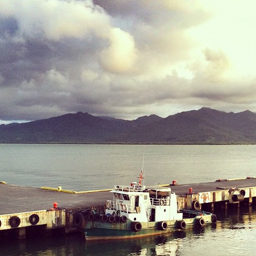
Docked...
![square squareformat normal iphoneography instagramapp uploaded:by=instagram foursquare:venue=4cc36a1e91413704a4cebb55](https://live.staticflickr.com/7170/6620742087_06f67bd37b.jpg)
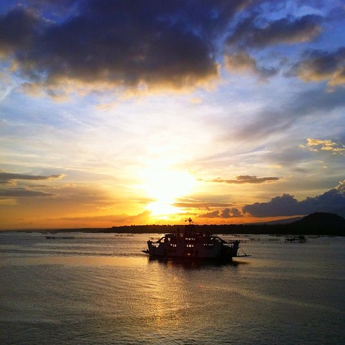
Sunset by the Bay
![](https://live.staticflickr.com/1971/45442181421_82e9685924.jpg)
Filipinas Nasipit
![day cloudy](https://live.staticflickr.com/2840/9693021663_d56cdd1753.jpg)
Ozamiz City
![square squareformat iphoneography instagramapp uploaded:by=instagram](https://live.staticflickr.com/7604/17063152001_069c4318e0.jpg)
Bijna daar met @kroonjan
![public ferry del port crossing philippines transportation norte mindanao occidental ozamis misamis lanao kolambugan](https://live.staticflickr.com/349/19981004896_280d52fdc3.jpg)
ferry crossing
![public ferry del port crossing philippines transportation norte mindanao occidental ozamis misamis lanao kolambugan](https://live.staticflickr.com/433/19999483562_ce07f96321.jpg)
ferry crossing
![public ferry del port crossing philippines transportation norte mindanao occidental ozamis misamis lanao kolambugan](https://live.staticflickr.com/527/20007183585_70b3ce9f18.jpg)
ferry crossing
![public ferry del port crossing philippines transportation norte mindanao occidental ozamis misamis lanao kolambugan](https://live.staticflickr.com/555/19711506329_46621b76a8.jpg)
ferry crossing
![public philippines transportation mindanao occidental ozamis misamis](https://live.staticflickr.com/471/19680084829_946a1cdc27.jpg)
ozamis april 2010
Topographic Map of Labuyo, Tangub City, Misamis Occidental, Philippines
Find elevation by address:
Places near Labuyo, Tangub City, Misamis Occidental, Philippines:
Recent Searches:
- Elevation of Corso Fratelli Cairoli, 35, Macerata MC, Italy
- Elevation of Tallevast Rd, Sarasota, FL, USA
- Elevation of 4th St E, Sonoma, CA, USA
- Elevation of Black Hollow Rd, Pennsdale, PA, USA
- Elevation of Oakland Ave, Williamsport, PA, USA
- Elevation of Pedrógão Grande, Portugal
- Elevation of Klee Dr, Martinsburg, WV, USA
- Elevation of Via Roma, Pieranica CR, Italy
- Elevation of Tavkvetili Mountain, Georgia
- Elevation of Hartfords Bluff Cir, Mt Pleasant, SC, USA