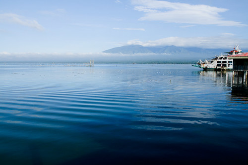
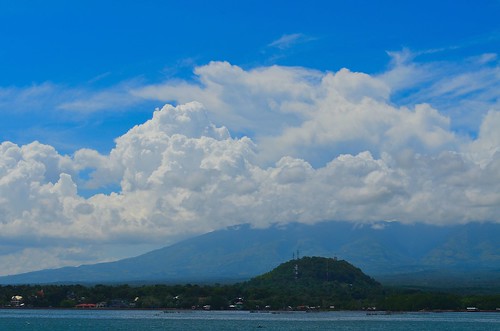
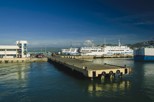
Elevation of Labuyo Barangay Hall, Tangub City, Misamis Occidental, Philippines
Location: Philippines > Northern Mindanao > Misamis Occidental > Tangub City > Labuyo >
Longitude: 123.720498
Latitude: 8.0632645
Elevation: 18m / 59feet
Barometric Pressure: 101KPa
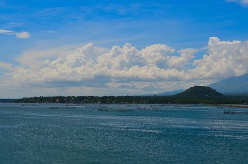
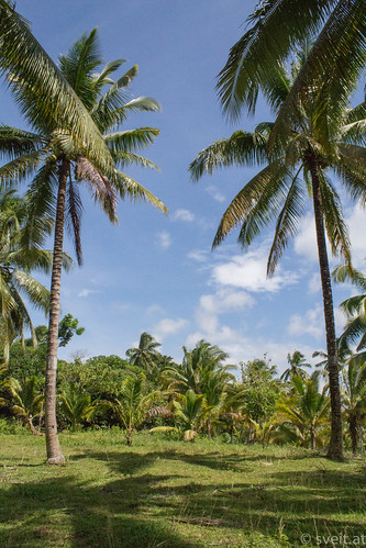
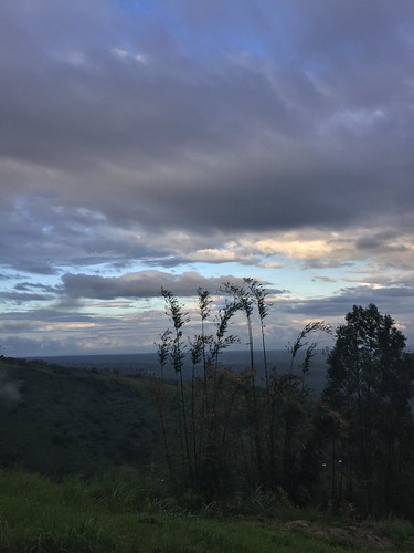
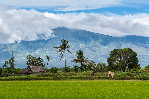
Related Photos:
Topographic Map of Labuyo Barangay Hall, Tangub City, Misamis Occidental, Philippines
Find elevation by address:

Places near Labuyo Barangay Hall, Tangub City, Misamis Occidental, Philippines:
Labuyo
Aquino (marcos)
Garang
Caniangan
Kauswagan Barangay Hall
Bintana
Guinalaban
Hoyohoy Elementary School
Aquino Elementary School
Baluc Elementary School
Barangay Tres Elementary School
Polao Elementary School
Isidro D. Tan Elementary School
Capalaran
Santo Nino
Tangub City
Hoyohoy For Ecological Restoration Multi-purpose Cooperative
Balatacan
Banglay
Sicot
Recent Searches:
- Elevation of Corso Fratelli Cairoli, 35, Macerata MC, Italy
- Elevation of Tallevast Rd, Sarasota, FL, USA
- Elevation of 4th St E, Sonoma, CA, USA
- Elevation of Black Hollow Rd, Pennsdale, PA, USA
- Elevation of Oakland Ave, Williamsport, PA, USA
- Elevation of Pedrógão Grande, Portugal
- Elevation of Klee Dr, Martinsburg, WV, USA
- Elevation of Via Roma, Pieranica CR, Italy
- Elevation of Tavkvetili Mountain, Georgia
- Elevation of Hartfords Bluff Cir, Mt Pleasant, SC, USA


