Elevation of La Villa, Cd del Maíz, S.L.P., Mexico
Location: Mexico > San Luis Potosi > Ciudad Del Maíz > Ciudad Del Maíz >
Longitude: -99.610475
Latitude: 22.4001641
Elevation: 1263m / 4144feet
Barometric Pressure: 87KPa
Elevation Map:
Satellite Map:
Related Photos:
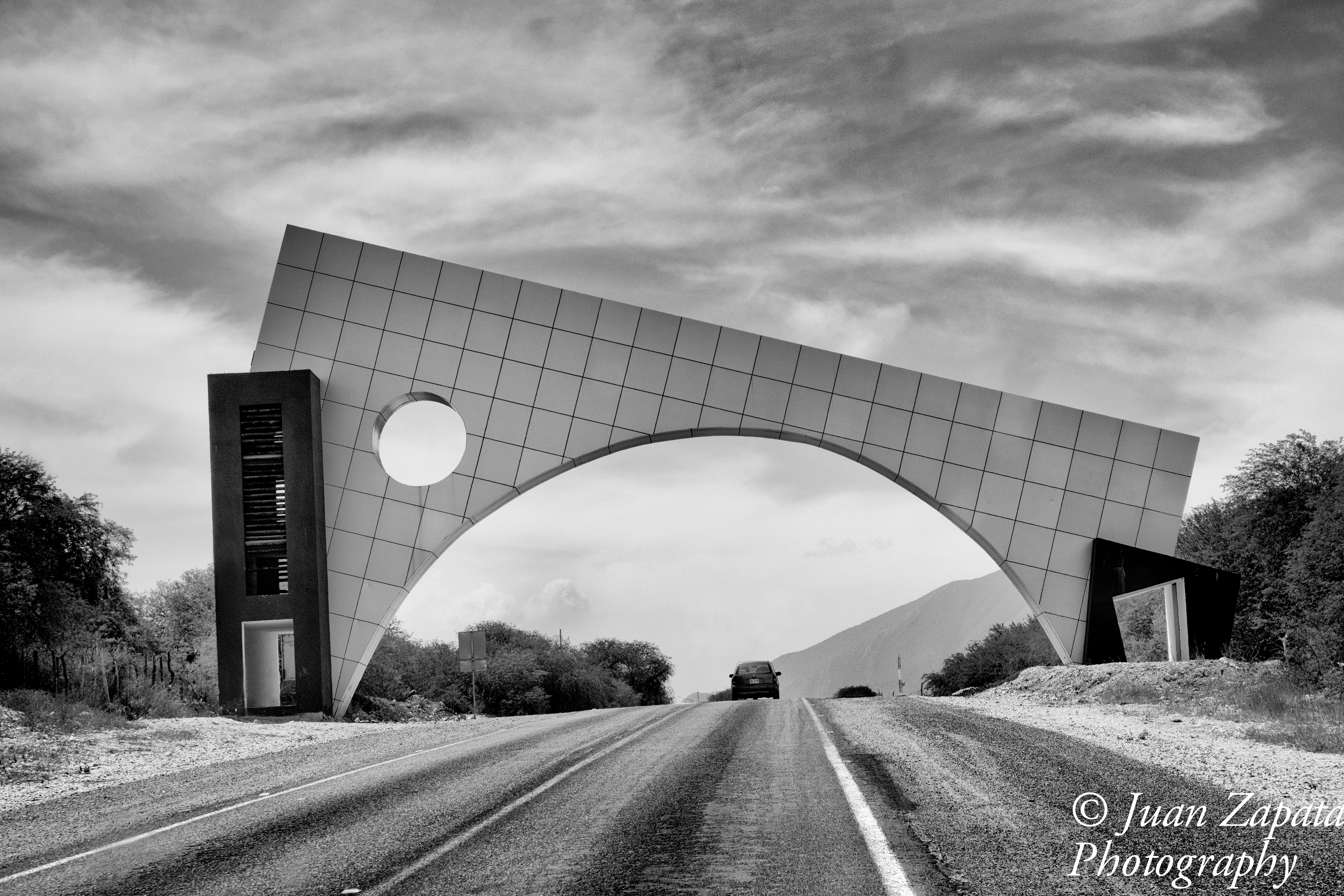
Ciudad del Maíz
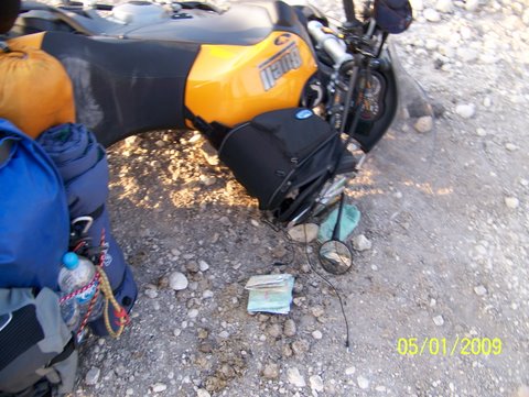
Dropping the bike and picking it up

Dropping the bike and picking it up
Topographic Map of La Villa, Cd del Maíz, S.L.P., Mexico
Find elevation by address:

Places in La Villa, Cd del Maíz, S.L.P., Mexico:
Places near La Villa, Cd del Maíz, S.L.P., Mexico:
Gral. Ignacio Zaragoza 43, La Villa, Cd del Maíz, S.L.P., Mexico
Ciudad Del Maíz
Ciudad Del Maíz
Cascadas De Minas Viejas
El Salto
Agua Buena
Tamasopo
Cascadas De Micos
Arquitectos, Tecnologico, Cd Valles, S.L.P., Mexico
Tecnologico
Ciudad Valles
Ciudad Valles
Tamul
Pino Suárez 41, Bellavista, Cd Valles, S.L.P., Mexico
Bellavista
El Limon
Los Pericos
María Teresa Rangel, Los Pericos, Tamuín, S.L.P., Mexico
Tamuín
Media Luna
Recent Searches:
- Elevation of Corso Fratelli Cairoli, 35, Macerata MC, Italy
- Elevation of Tallevast Rd, Sarasota, FL, USA
- Elevation of 4th St E, Sonoma, CA, USA
- Elevation of Black Hollow Rd, Pennsdale, PA, USA
- Elevation of Oakland Ave, Williamsport, PA, USA
- Elevation of Pedrógão Grande, Portugal
- Elevation of Klee Dr, Martinsburg, WV, USA
- Elevation of Via Roma, Pieranica CR, Italy
- Elevation of Tavkvetili Mountain, Georgia
- Elevation of Hartfords Bluff Cir, Mt Pleasant, SC, USA