Elevation of Gral. Ignacio Zaragoza 43, La Villa, Cd del Maíz, S.L.P., Mexico
Location: Mexico > San Luis Potosi > Ciudad Del Maíz > Ciudad Del Maíz > La Villa >
Longitude: -99.605002
Latitude: 22.3994141
Elevation: 1242m / 4075feet
Barometric Pressure: 87KPa
Elevation Map:
Satellite Map:
Related Photos:
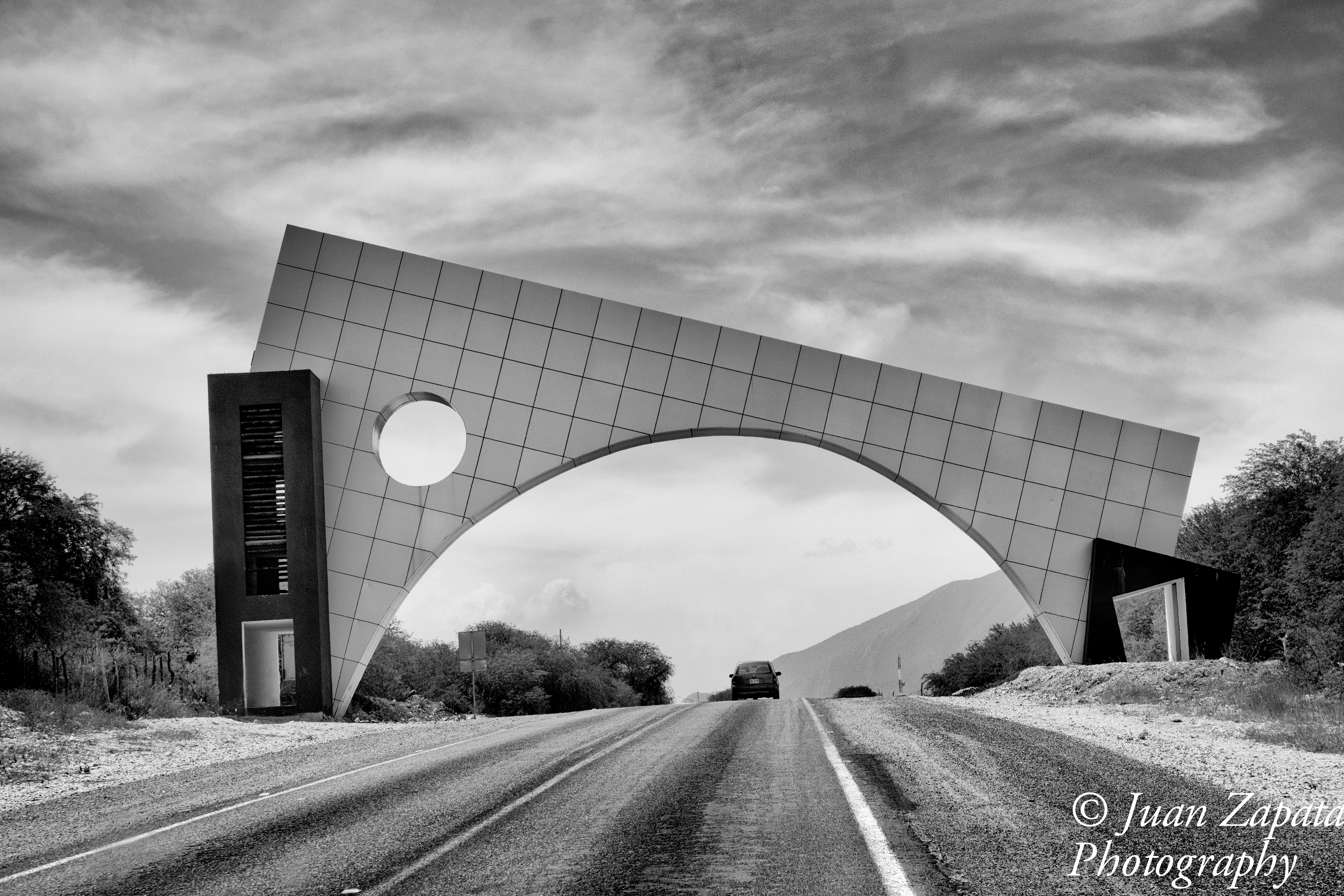
Ciudad del Maíz
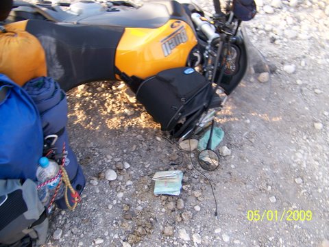
Dropping the bike and picking it up

Dropping the bike and picking it up
Topographic Map of Gral. Ignacio Zaragoza 43, La Villa, Cd del Maíz, S.L.P., Mexico
Find elevation by address:

Places near Gral. Ignacio Zaragoza 43, La Villa, Cd del Maíz, S.L.P., Mexico:
Ciudad Del Maíz
Ciudad Del Maíz
La Villa
Cascadas De Minas Viejas
El Salto
Agua Buena
Tamasopo
Cascadas De Micos
Arquitectos, Tecnologico, Cd Valles, S.L.P., Mexico
Tecnologico
Ciudad Valles
Ciudad Valles
Tamul
Pino Suárez 41, Bellavista, Cd Valles, S.L.P., Mexico
Bellavista
El Limon
Los Pericos
María Teresa Rangel, Los Pericos, Tamuín, S.L.P., Mexico
Tamuín
Media Luna
Recent Searches:
- Elevation of Congressional Dr, Stevensville, MD, USA
- Elevation of Bellview Rd, McLean, VA, USA
- Elevation of Stage Island Rd, Chatham, MA, USA
- Elevation of Shibuya Scramble Crossing, 21 Udagawacho, Shibuya City, Tokyo -, Japan
- Elevation of Jadagoniai, Kaunas District Municipality, Lithuania
- Elevation of Pagonija rock, Kranto 7-oji g. 8"N, Kaunas, Lithuania
- Elevation of Co Rd 87, Jamestown, CO, USA
- Elevation of Tenjo, Cundinamarca, Colombia
- Elevation of Côte-des-Neiges, Montreal, QC H4A 3J6, Canada
- Elevation of Bobcat Dr, Helena, MT, USA