Elevation of La Salette, ON N0E, Canada
Location: Canada > Ontario >
Longitude: -80.502519
Latitude: 42.902332
Elevation: 236m / 774feet
Barometric Pressure: 99KPa
Elevation Map:
Satellite Map:
Related Photos:
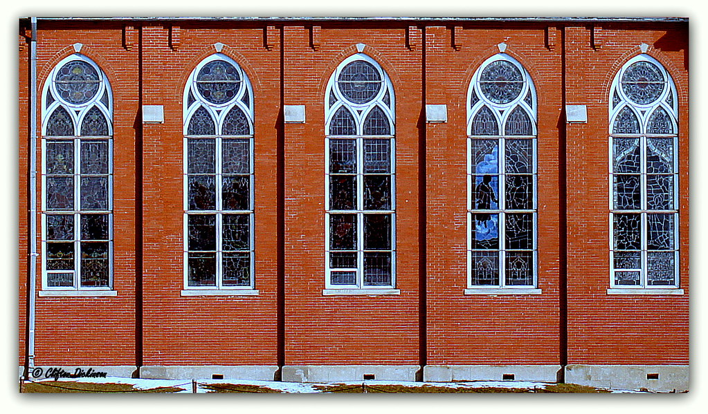
DSC01995 Place Of Prayer
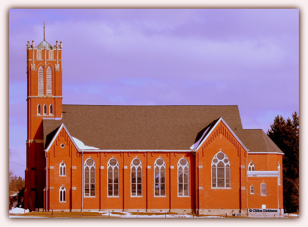
DSC01993 God's Country House For People To Pray And Worship

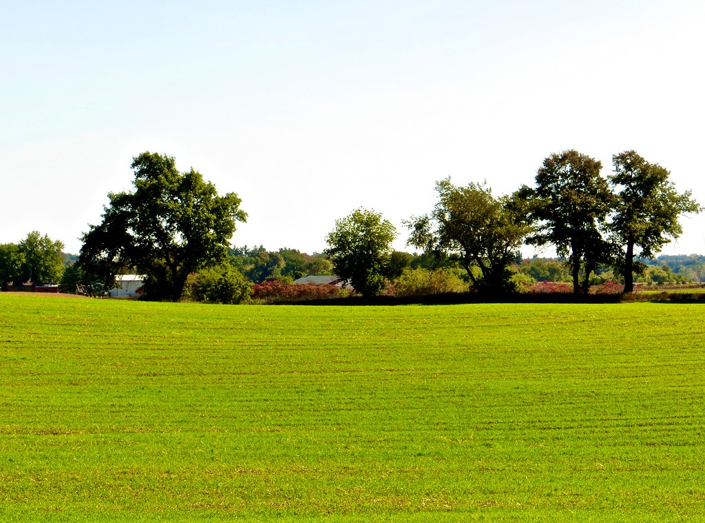
John Deere Green

Otterville - Little Falls
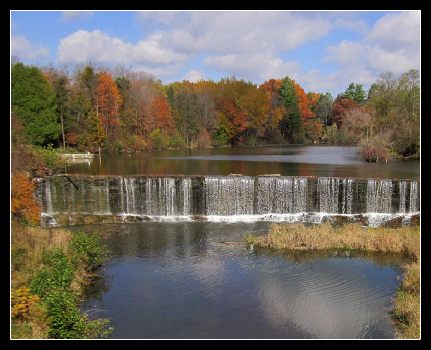
Otterville dam
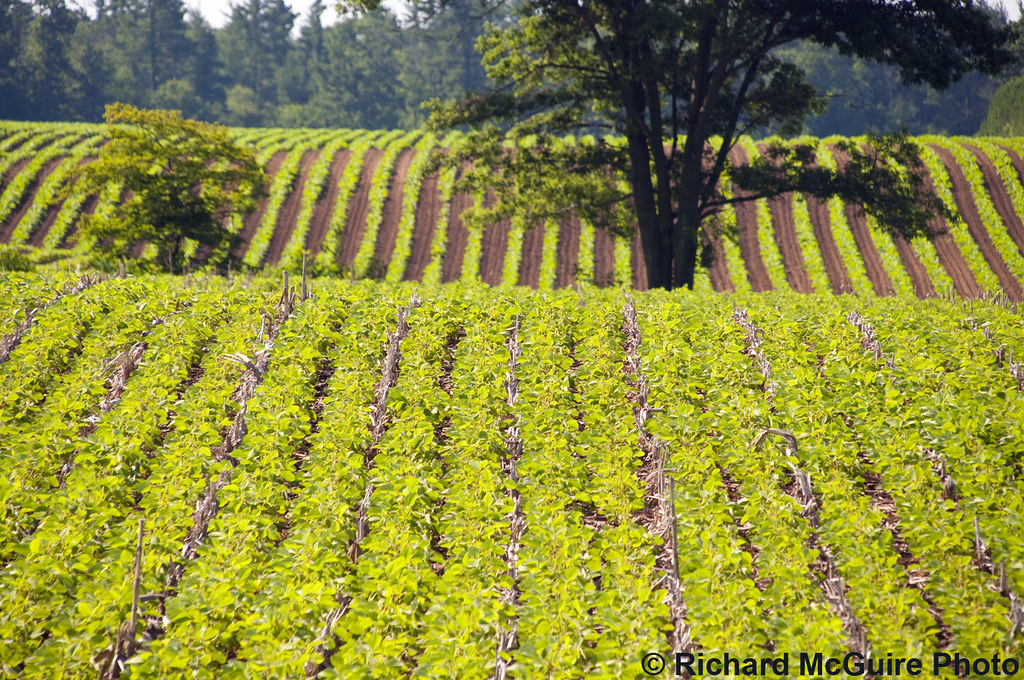
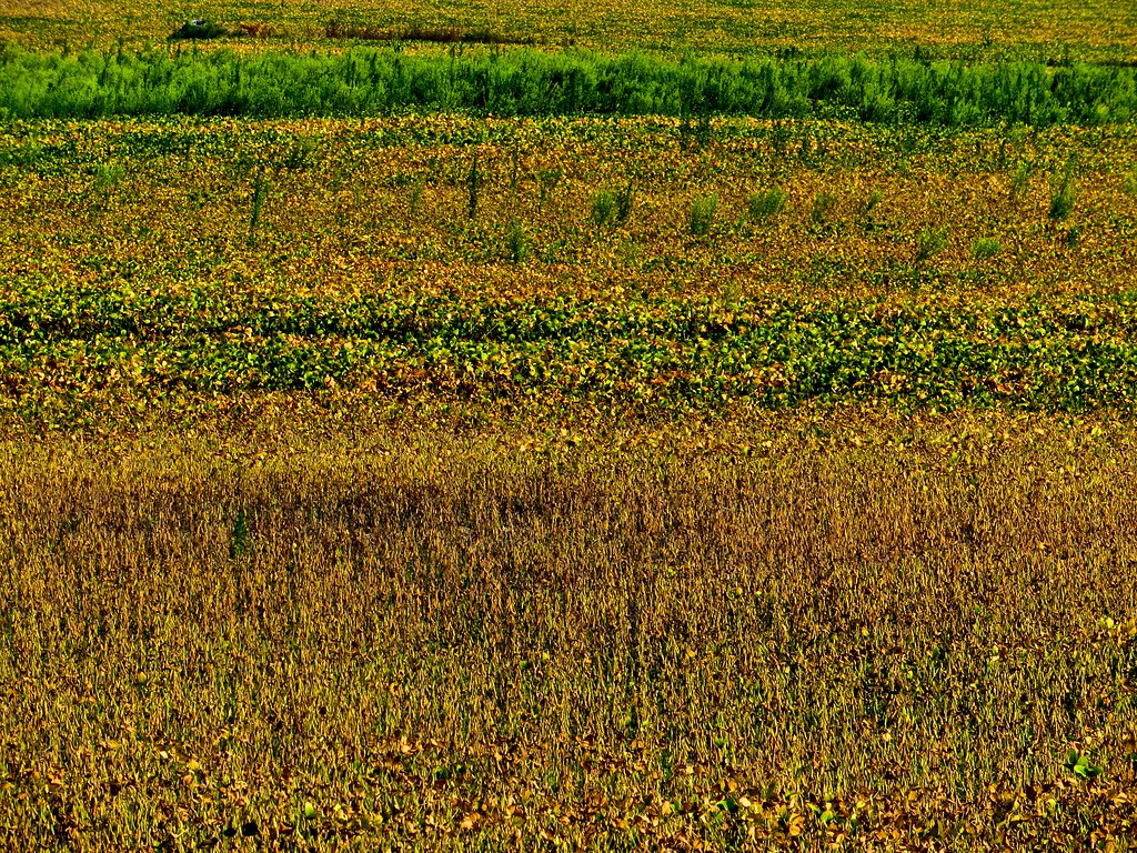
Crop rows, Delhi, Ontario
PORT DOVER
PORT DOVER
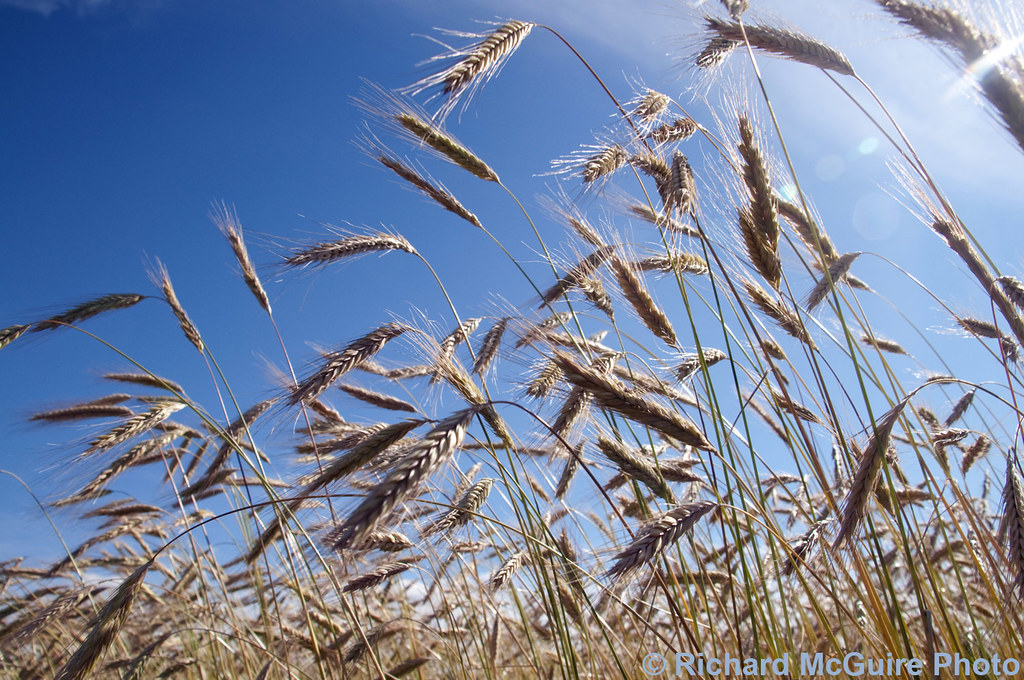
Barley in the sunshine, near Waterford, Ontario
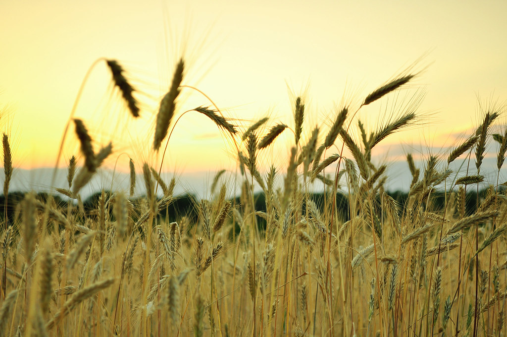
Rye Field
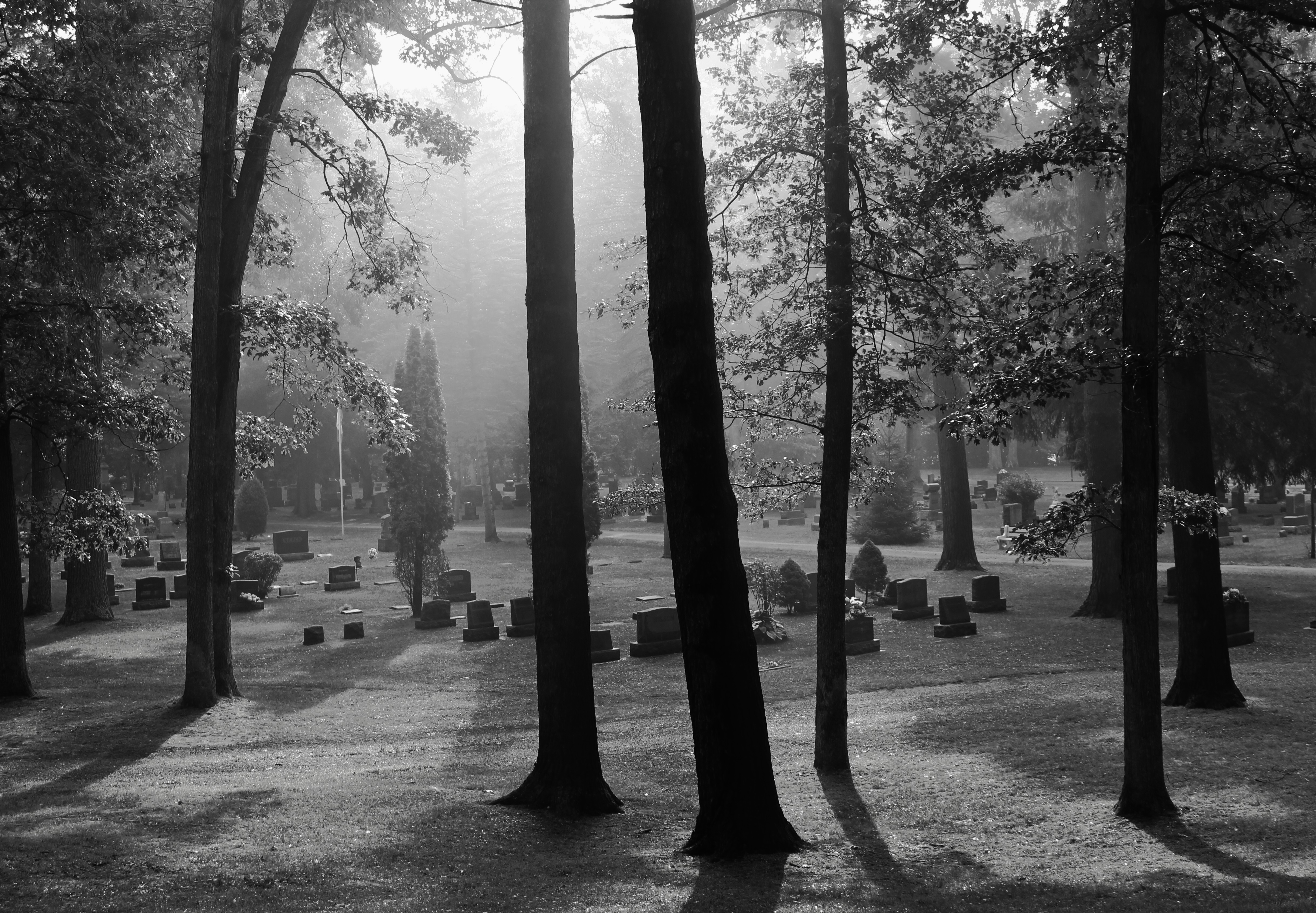
Cemetery Scape Two Evergreen
Tranquil in Otterville
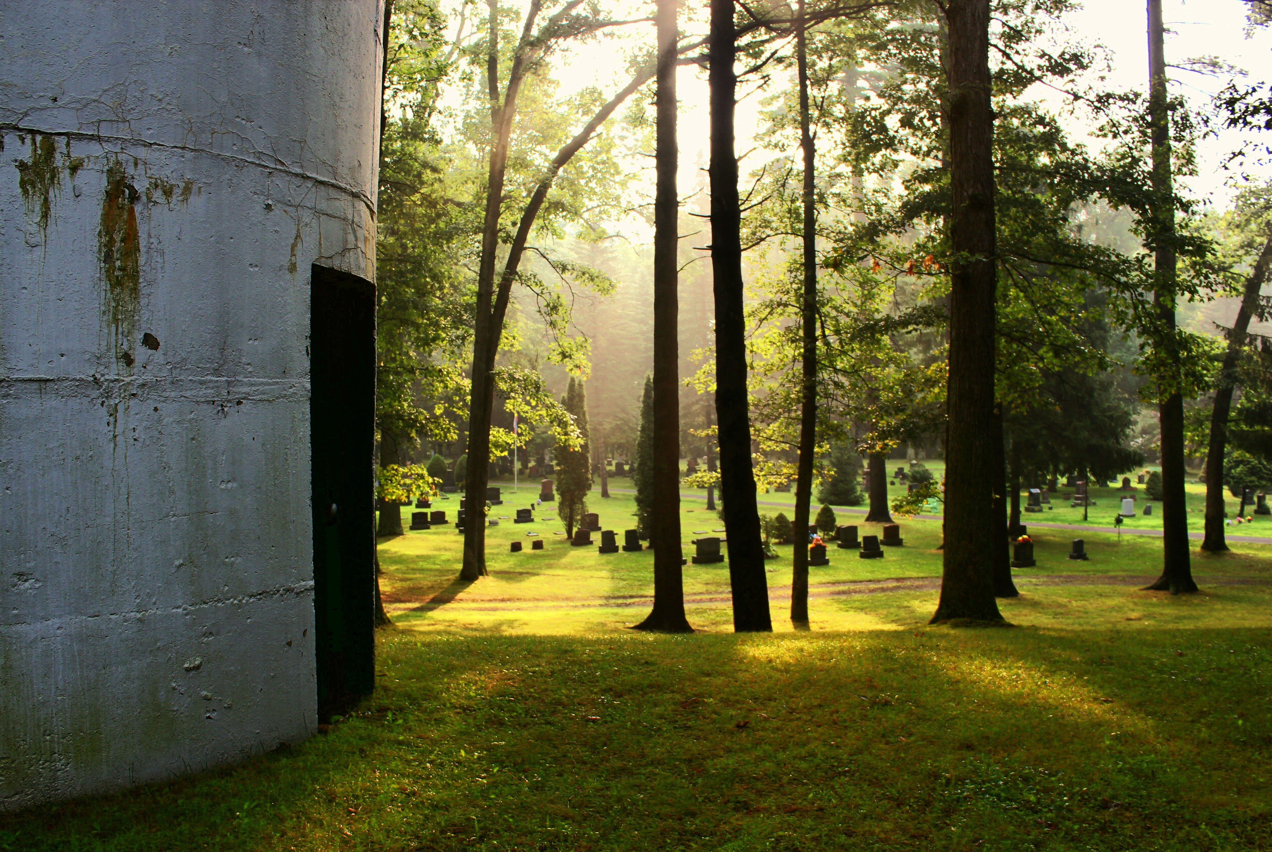
Evergreen Water Tower
Topographic Map of La Salette, ON N0E, Canada
Find elevation by address:

Places in La Salette, ON N0E, Canada:
Places near La Salette, ON N0E, Canada:
LaSalette Rd, La Salette, ON N0E 1H0, Canada
Teeterville
Teeter St, Teeterville, ON N0E 1S0, Canada
345 Norwich Rd
N0e 1r0
Scotland
Scotland
Wilsonville
Pleasant Ridge Rd, Wilsonville, ON N0E 1Z0, Canada
1948 Old Hwy 24
63 Leamon St
Waterford
Oakland Rd, Scotland, ON N0E 1R0, Canada
19 Lingwood Dr
630 Thompson Rd E
24 Oakland Rd #139
57 Cockshutt Rd, Scotland, ON N0E 1R0, Canada
Burtch Rd, Brantford, ON N3T 5L6, Canada
Indian Line, Wilsonville, ON N0E 1Z0, Canada
Recent Searches:
- Elevation of Corso Fratelli Cairoli, 35, Macerata MC, Italy
- Elevation of Tallevast Rd, Sarasota, FL, USA
- Elevation of 4th St E, Sonoma, CA, USA
- Elevation of Black Hollow Rd, Pennsdale, PA, USA
- Elevation of Oakland Ave, Williamsport, PA, USA
- Elevation of Pedrógão Grande, Portugal
- Elevation of Klee Dr, Martinsburg, WV, USA
- Elevation of Via Roma, Pieranica CR, Italy
- Elevation of Tavkvetili Mountain, Georgia
- Elevation of Hartfords Bluff Cir, Mt Pleasant, SC, USA