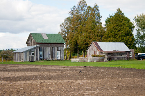
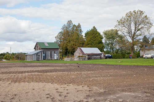
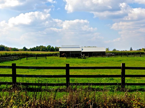
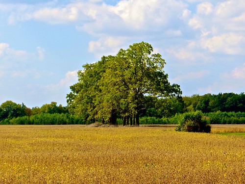
Elevation of 19 Lingwood Dr, Waterford, ON N0E 1Y0, Canada
Location: Canada > Ontario > Norfolk County > Norfolk County > Waterford >
Longitude: -80.287430
Latitude: 42.9360879
Elevation: -10000m / -32808feet
Barometric Pressure: 295KPa
Related Photos:
Topographic Map of 19 Lingwood Dr, Waterford, ON N0E 1Y0, Canada
Find elevation by address:

Places near 19 Lingwood Dr, Waterford, ON N0E 1Y0, Canada:
Waterford
63 Leamon St
630 Thompson Rd E
1948 Old Hwy 24
Pleasant Ridge Rd, Wilsonville, ON N0E 1Z0, Canada
Wilsonville
57 Cockshutt Rd, Scotland, ON N0E 1R0, Canada
24 Oakland Rd #139
Oakland Rd, Scotland, ON N0E 1R0, Canada
Indian Line, Wilsonville, ON N0E 1Z0, Canada
Scotland
Scotland
Burtch Rd, Brantford, ON N3T 5L6, Canada
N0e 1r0
Teeterville
Teeter St, Teeterville, ON N0E 1S0, Canada
LaSalette Rd, La Salette, ON N0E 1H0, Canada
La Salette
345 Norwich Rd
Recent Searches:
- Elevation of Corso Fratelli Cairoli, 35, Macerata MC, Italy
- Elevation of Tallevast Rd, Sarasota, FL, USA
- Elevation of 4th St E, Sonoma, CA, USA
- Elevation of Black Hollow Rd, Pennsdale, PA, USA
- Elevation of Oakland Ave, Williamsport, PA, USA
- Elevation of Pedrógão Grande, Portugal
- Elevation of Klee Dr, Martinsburg, WV, USA
- Elevation of Via Roma, Pieranica CR, Italy
- Elevation of Tavkvetili Mountain, Georgia
- Elevation of Hartfords Bluff Cir, Mt Pleasant, SC, USA

