Elevation map of La Matanie Regional County Municipality, QC, Canada
Location: Canada > Québec >
Longitude: -67.281681
Latitude: 48.9022008
Elevation: 34m / 112feet
Barometric Pressure: 101KPa
Elevation Map:
Satellite Map:
Related Photos:
Coucher de soleil - Sunset
2014-03_104
Gaspé Landscape with Barn Panoramic
2013-06_94

Landscape -- color

Gaspé Barn and Landscape
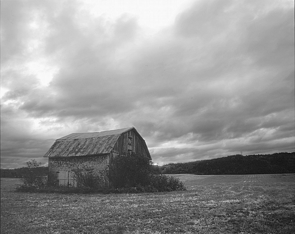
Gaspé Barn (b/w)
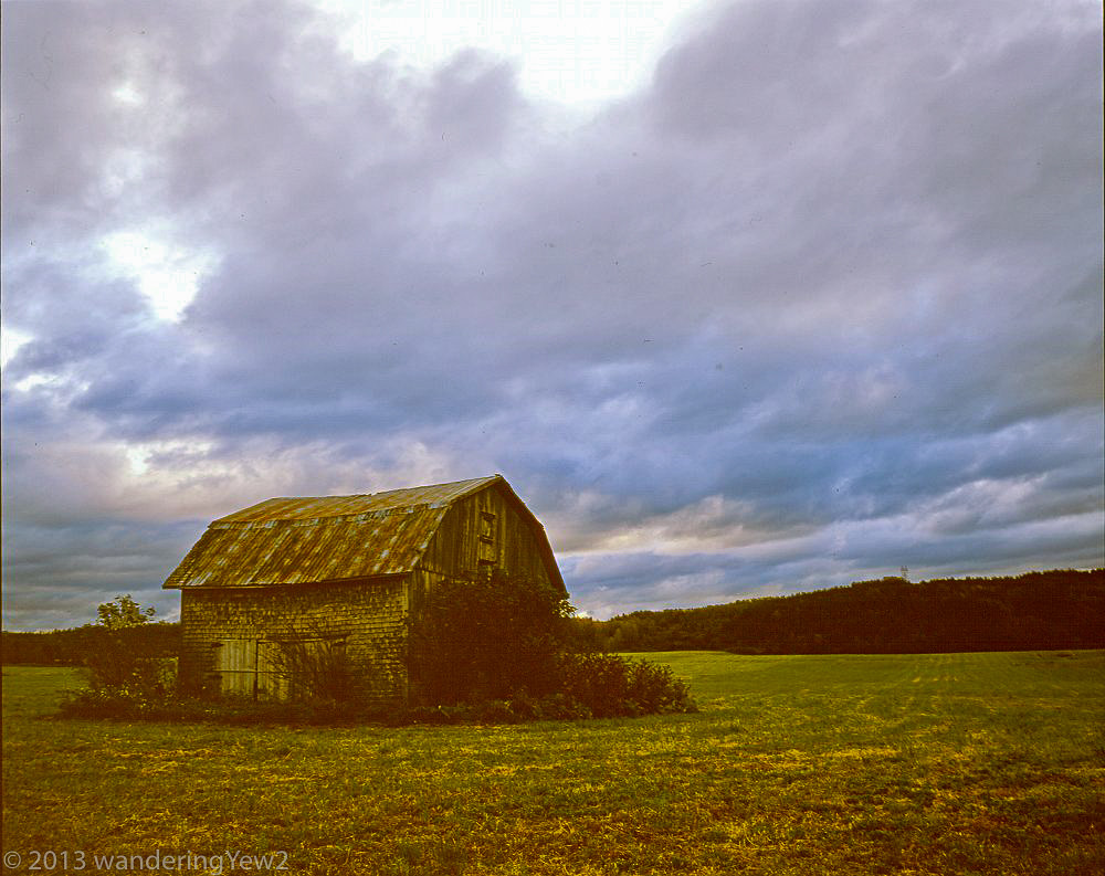
Gaspé Barn

couche de soleil
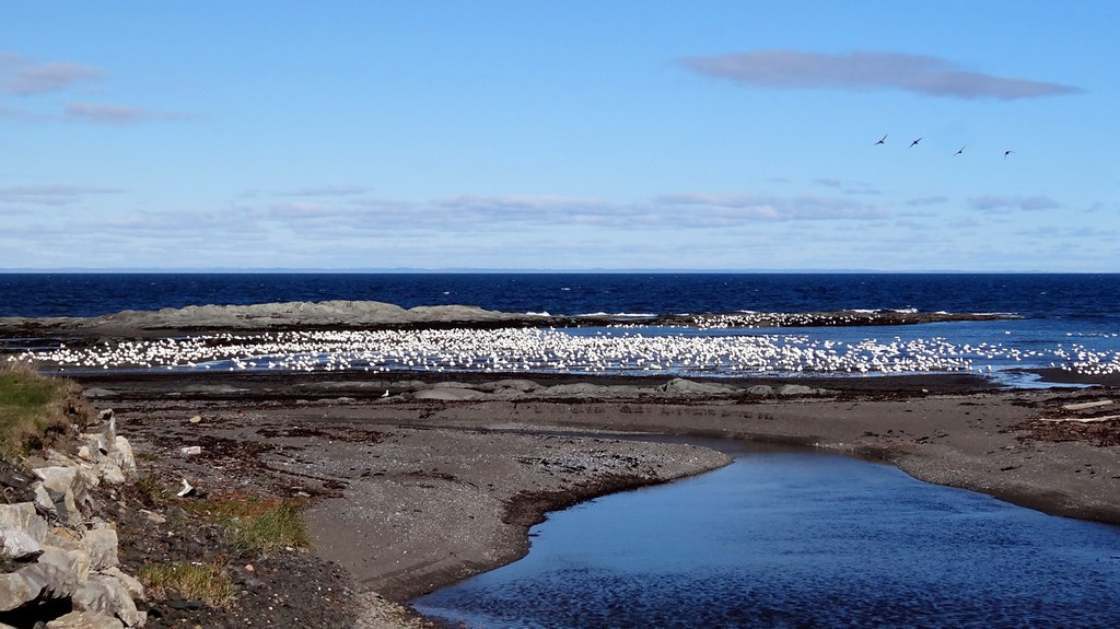
Gaspe 03260 - Cap Chat snow geese
Topographic Map of La Matanie Regional County Municipality, QC, Canada
Find elevation by address:

Places in La Matanie Regional County Municipality, QC, Canada:
Les Méchins
Saint-rené-de-matane
Baie-des-sables
Matane
7 Rang, Saint-Léandre, QC G0J 2V0, Canada
10e Rang
Places near La Matanie Regional County Municipality, QC, Canada:
10e Rang
Saint-rené-de-matane
28 3e Rang
Saint-luc-de-matane
1 Rue Noël, Matane, QC G4W 9G5, Canada
4 Rue Martel, Saint-René-de-Matane, QC G0J 3E0, Canada
Saint-rené-de-matane
1040c
Les Méchins
Route Bellevue E, Les Méchins, QC G0J 1T0, Canada
Les Méchins
Route du Village, Capucins, QC G0J 1H0, Canada
Amqui
Causapscal
La Matapédia Regional County Municipality
Rue Saint Augustin, Causapscal, QC G0J 1J0, Canada
1 Rue de l'Église, Sainte-Marguerite-Marie, QC G0J 2Y0, Canada
Sainte-marguerite-marie
Cap-chat
Sainte-marguerite
Recent Searches:
- Elevation of Corso Fratelli Cairoli, 35, Macerata MC, Italy
- Elevation of Tallevast Rd, Sarasota, FL, USA
- Elevation of 4th St E, Sonoma, CA, USA
- Elevation of Black Hollow Rd, Pennsdale, PA, USA
- Elevation of Oakland Ave, Williamsport, PA, USA
- Elevation of Pedrógão Grande, Portugal
- Elevation of Klee Dr, Martinsburg, WV, USA
- Elevation of Via Roma, Pieranica CR, Italy
- Elevation of Tavkvetili Mountain, Georgia
- Elevation of Hartfords Bluff Cir, Mt Pleasant, SC, USA