Elevation of Cap-Chat, QC, Canada
Location: Canada > Québec > La Haute-gaspésie Regional County Municipality >
Longitude: -66.685739
Latitude: 49.0940662
Elevation: 53m / 174feet
Barometric Pressure: 101KPa
Elevation Map:
Satellite Map:
Related Photos:
The view from here... #summer #shutterbugging #roadtrip #autoroute #quebec #gaspesie
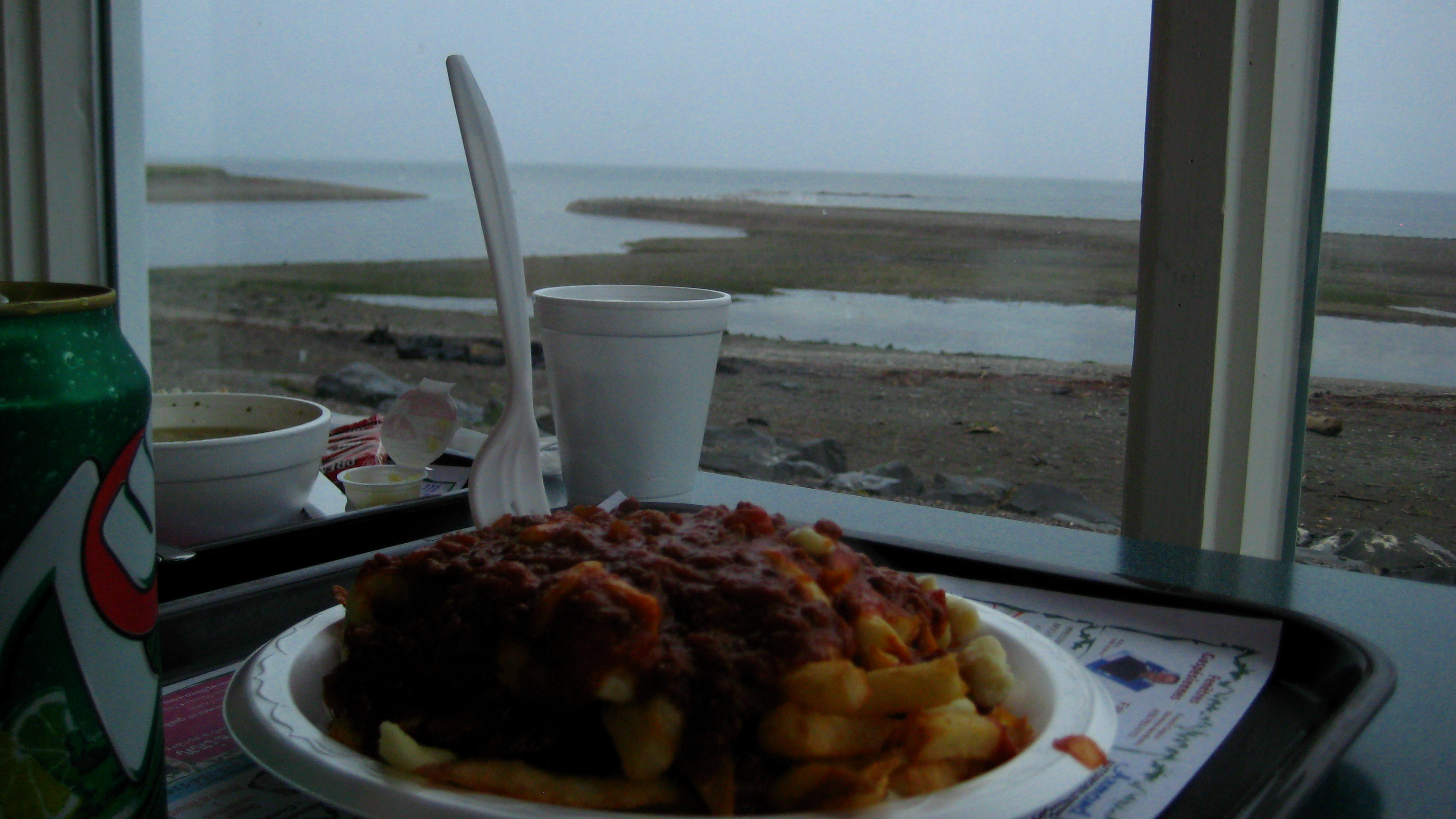
Poutine italienne
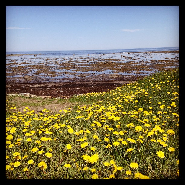
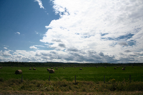
The Field
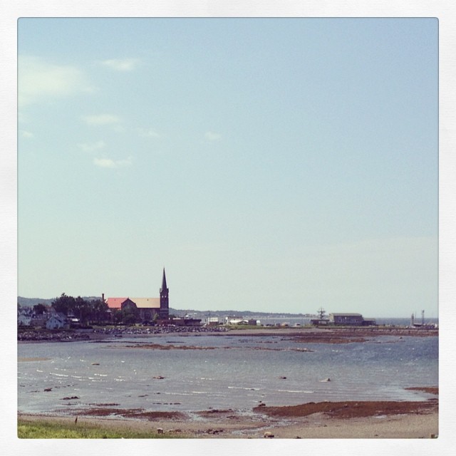
Cap-Chat

Intérieur du phare de Cap-Chat
0054-IMG_3_0192p

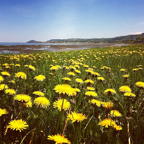
Field of Dreams
MS_20110927_006_FLI.jpg
En route

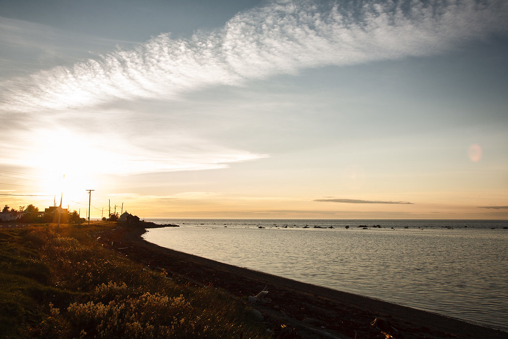
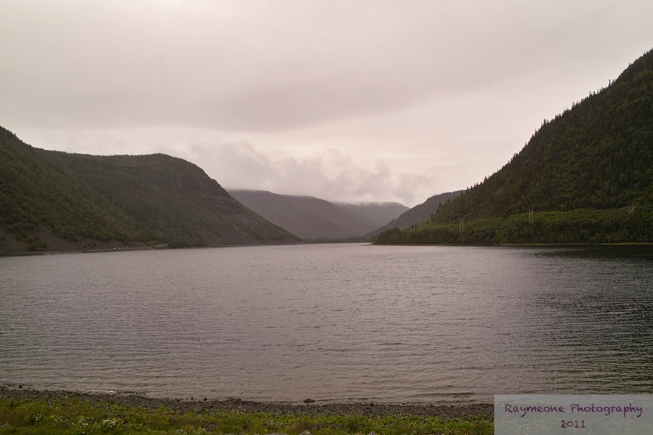
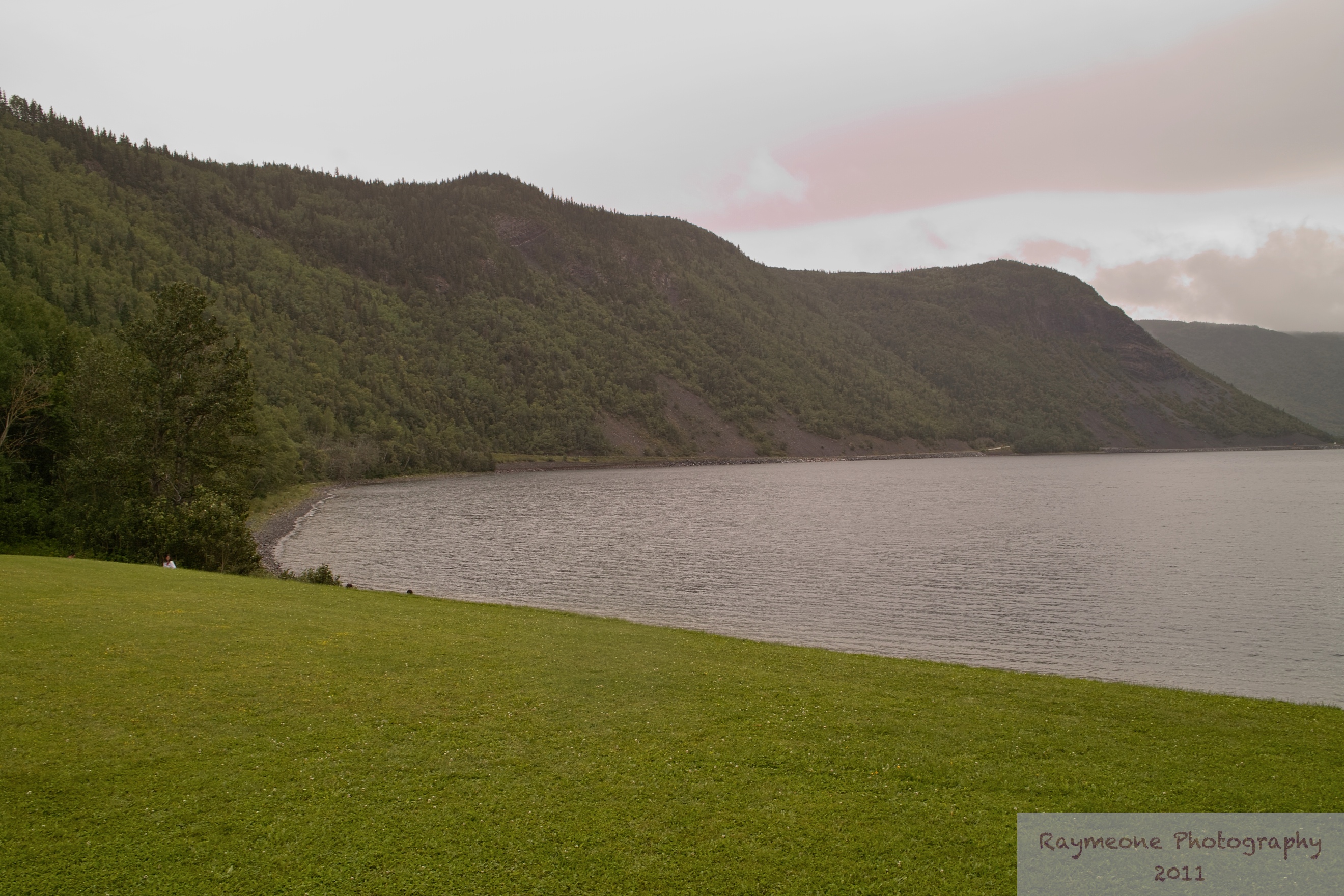
Cap-Chat
E as flores acompanham nossos caminhos
Wind Farm, Cap-Chat, Québec
La Gaspésie

Gaspésie_20050808_036_edited-1

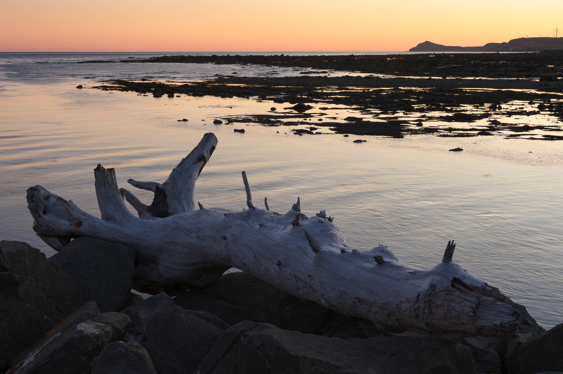
en route: Cap-Chat
Wind Farm, Cap-Chat, Québec

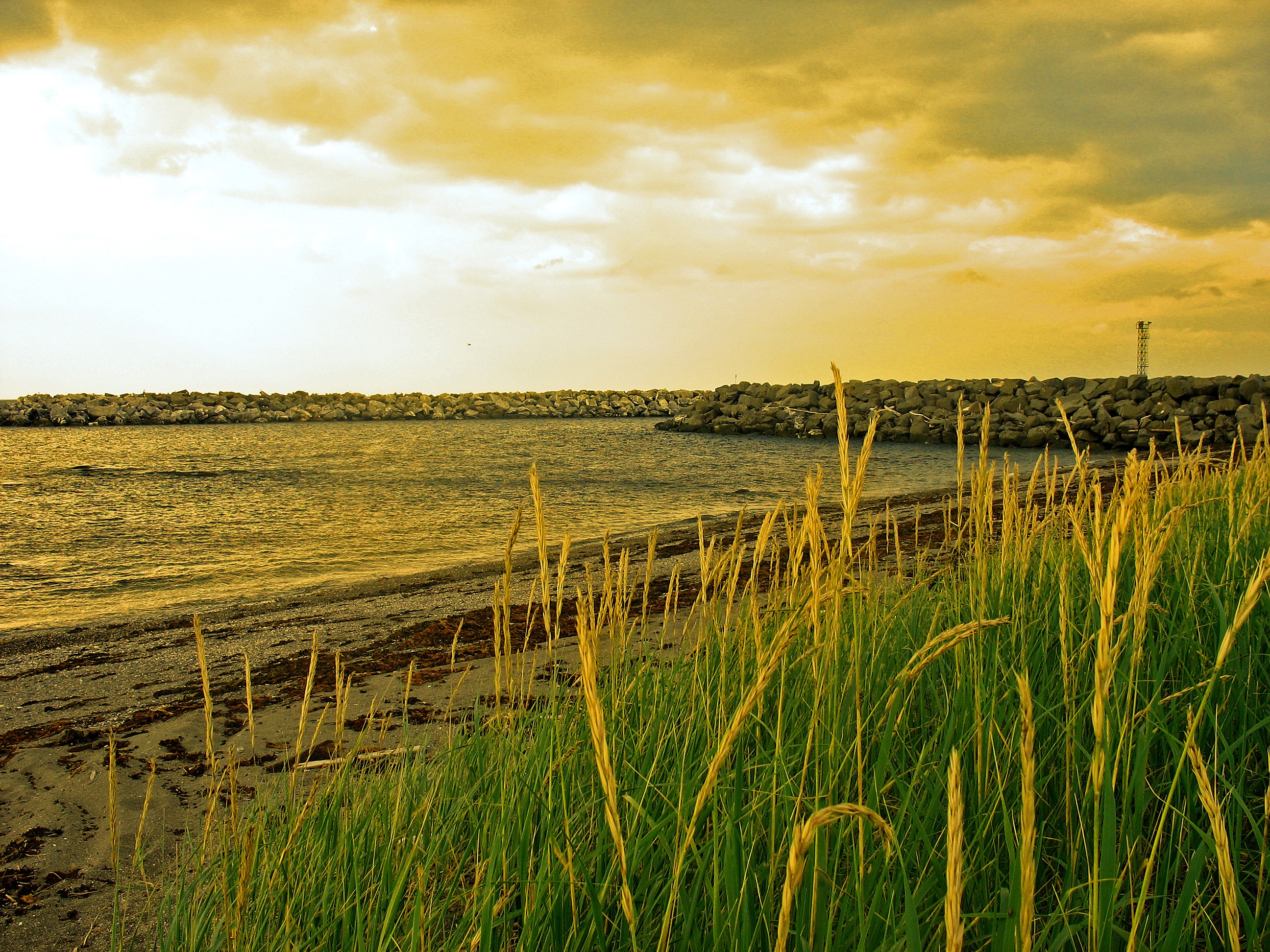
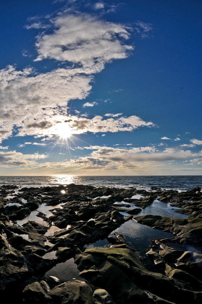
43315 - Canada - Quebec - coastline

Wind Farm, Cap-Chat, Québec

Mont chi-choc

Yin et Yang
Gaspésie_(7_of_38)

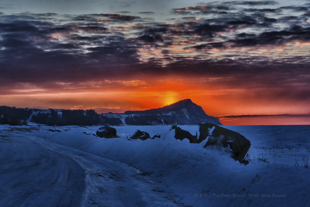
Sunset.
Topographic Map of Cap-Chat, QC, Canada
Find elevation by address:

Places in Cap-Chat, QC, Canada:
Places near Cap-Chat, QC, Canada:
638 1re Avenue O
Route du Village, Capucins, QC G0J 1H0, Canada
Sainte-anne-des-monts
Sainte-anne-des-monts
Sainte-anne-des-monts
Sainte-anne-des-monts
Sainte-anne-des-monts
Sainte-anne-des-monts
Sainte-anne-des-monts
Sainte-anne-des-monts
Sainte-anne-des-monts
Sainte-anne-des-monts
Sainte-anne-des-monts
Sainte-anne-des-monts
Sainte-anne-des-monts
23a
34 Route Noël Pelletier
Route Bellevue E, Les Méchins, QC G0J 1T0, Canada
Les Méchins
Sainte-anne-des-monts--tourelle
Recent Searches:
- Elevation of Corso Fratelli Cairoli, 35, Macerata MC, Italy
- Elevation of Tallevast Rd, Sarasota, FL, USA
- Elevation of 4th St E, Sonoma, CA, USA
- Elevation of Black Hollow Rd, Pennsdale, PA, USA
- Elevation of Oakland Ave, Williamsport, PA, USA
- Elevation of Pedrógão Grande, Portugal
- Elevation of Klee Dr, Martinsburg, WV, USA
- Elevation of Via Roma, Pieranica CR, Italy
- Elevation of Tavkvetili Mountain, Georgia
- Elevation of Hartfords Bluff Cir, Mt Pleasant, SC, USA