Elevation of La Huerta, Jal., Mexico
Location: Mexico > Jalisco >
Longitude: -104.64304
Latitude: 19.4833804
Elevation: 290m / 951feet
Barometric Pressure: 98KPa
Elevation Map:
Satellite Map:
Related Photos:

Street View of La Huerta

La Huerta Sunset
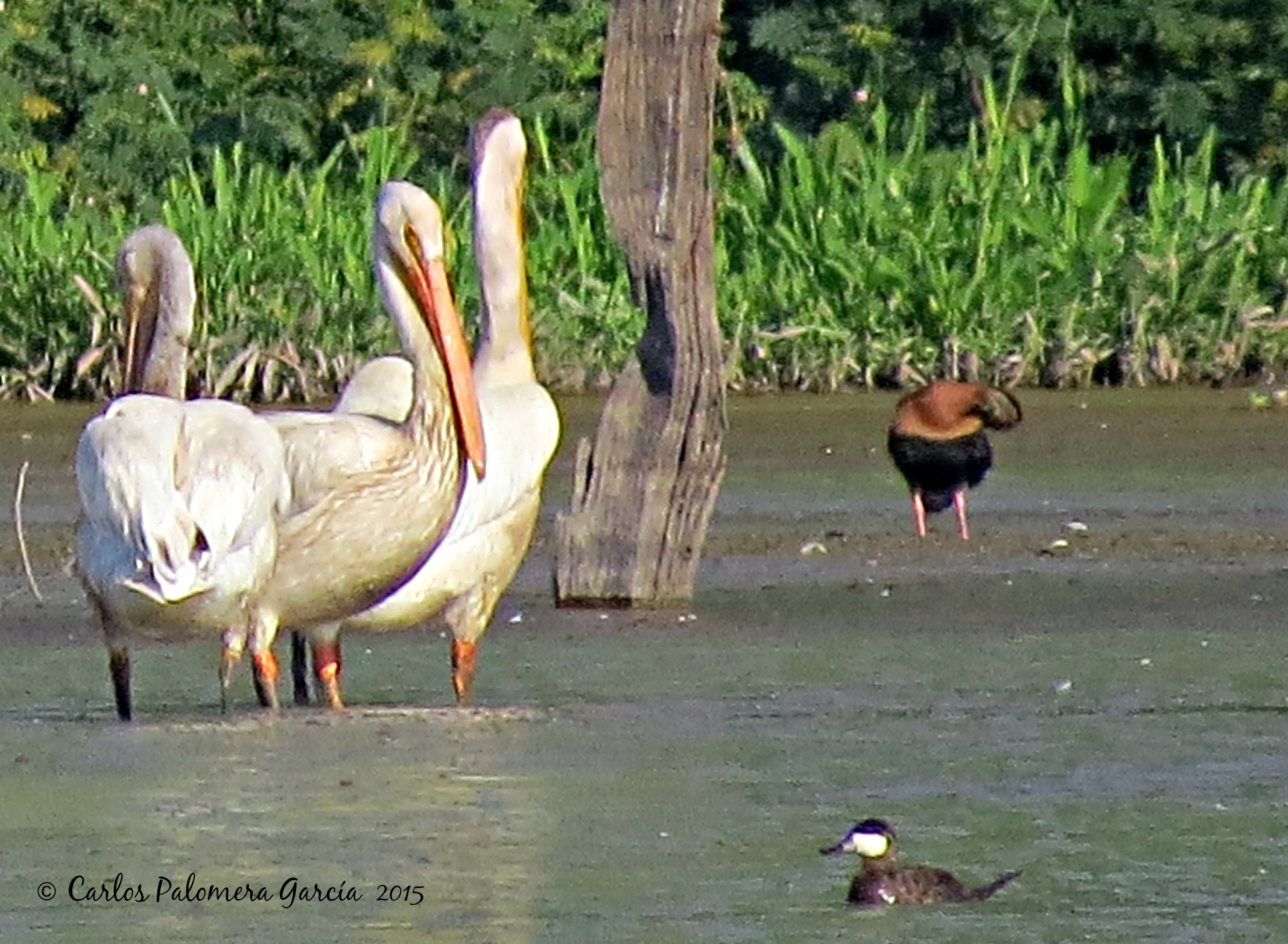
pelecanus & mob

Butorides virescens

odonata laguna rosario
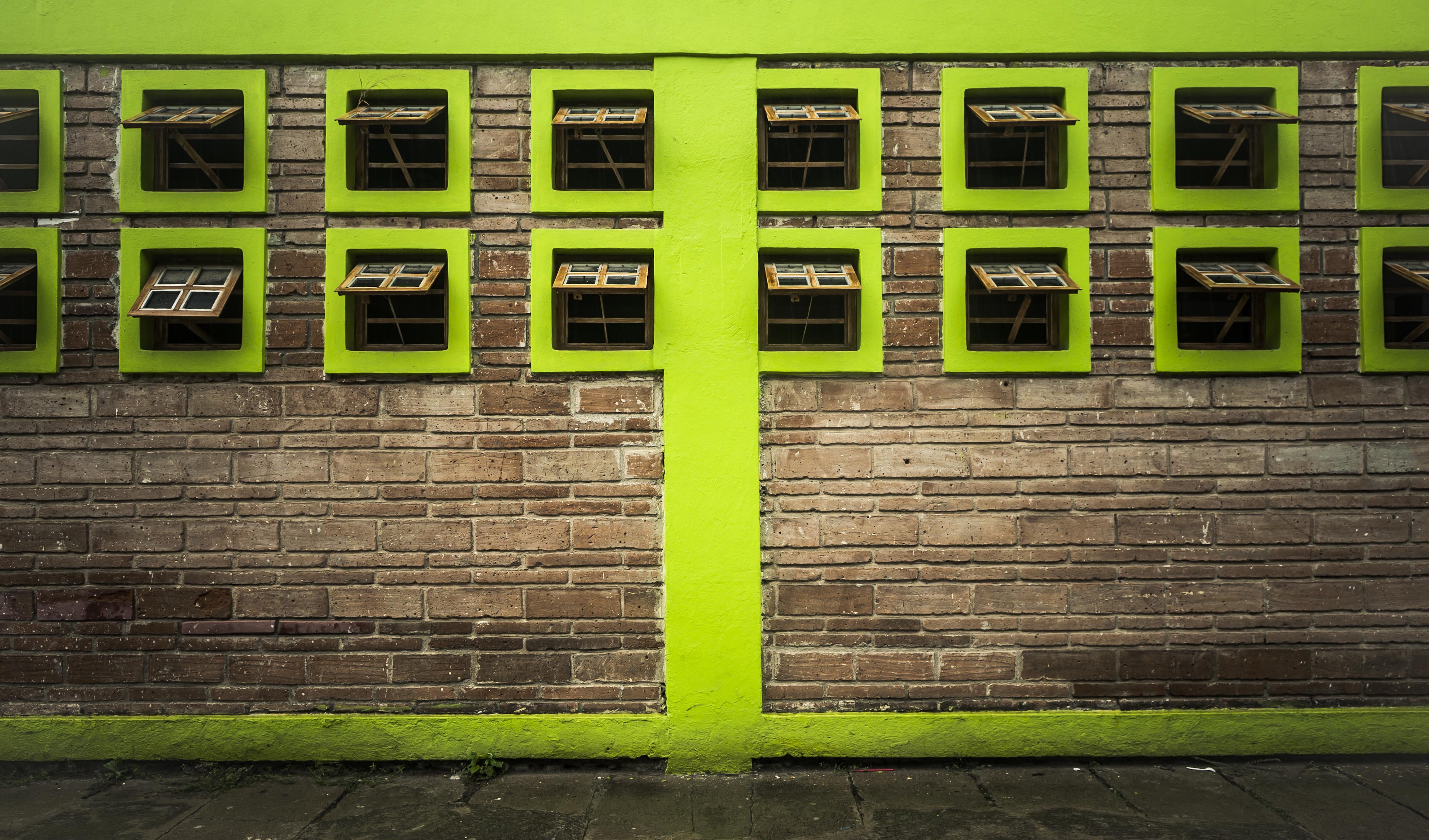
I Love the Color Green

Card Playing Taxi Drivers

Little Red Restaurant

Pool Hall in La Huerta
Topographic Map of La Huerta, Jal., Mexico
Find elevation by address:

Places in La Huerta, Jal., Mexico:
Places near La Huerta, Jal., Mexico:
La Huerta
Casimiro Castillo
La Resolana
Manuel M. Dieguez 40, Centro, La Resolana, Jal., Mexico
Centro
Cihuatlán
San Patricio
Centro
Roble 12, Centro, San Patricio, Jal., Mexico
Barra De Navidad
Av. 8 de Enero 9, Río Marabasco, Col., Mexico
Río Marabasco
Centro
Cuautitlán De García Barragán
Calle Miguel Hidalgo 74, Centro, Ejido del Centro, Jal., Mexico
Manzanillo
Marimar
Camotlán De Miraflores
Punta De Agua De Camotlán
Manzanillo
Recent Searches:
- Elevation of Corso Fratelli Cairoli, 35, Macerata MC, Italy
- Elevation of Tallevast Rd, Sarasota, FL, USA
- Elevation of 4th St E, Sonoma, CA, USA
- Elevation of Black Hollow Rd, Pennsdale, PA, USA
- Elevation of Oakland Ave, Williamsport, PA, USA
- Elevation of Pedrógão Grande, Portugal
- Elevation of Klee Dr, Martinsburg, WV, USA
- Elevation of Via Roma, Pieranica CR, Italy
- Elevation of Tavkvetili Mountain, Georgia
- Elevation of Hartfords Bluff Cir, Mt Pleasant, SC, USA