Elevation of LA-, Deville, LA, USA
Location: United States > Louisiana > Rapides Parish > C >
Longitude: -92.16557
Latitude: 31.33739
Elevation: 26m / 85feet
Barometric Pressure: 101KPa
Elevation Map:
Satellite Map:
Related Photos:
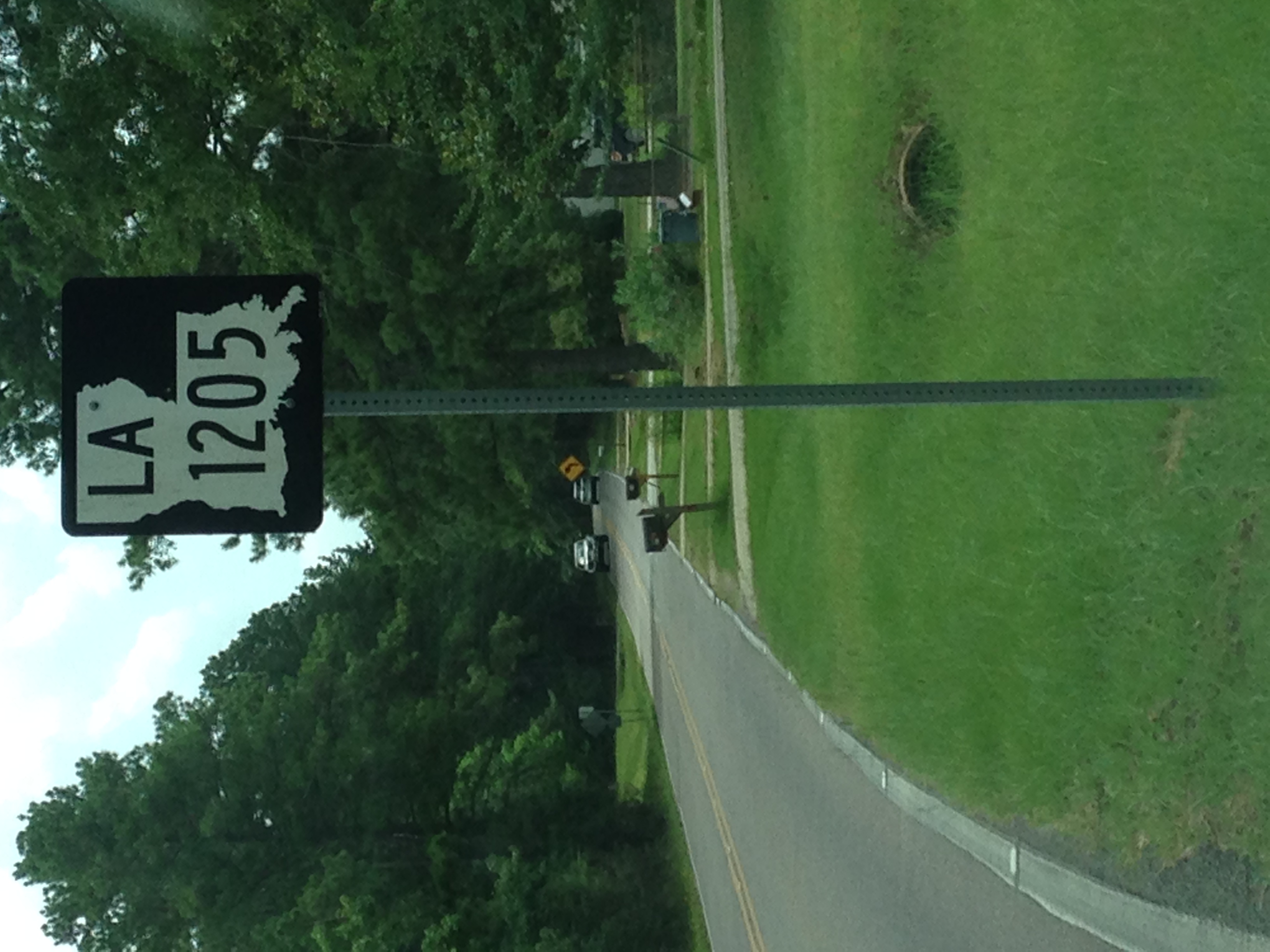
LA 1205 Route Sign with Context

LA 1205 Route Sign

LA 28 and 1207 Route Signs
2009-08-07
2009-08-07
2009-08-07

Dew Drop 3

Dew Drop 2

Dew Drop 1

Electric Wine
Topographic Map of LA-, Deville, LA, USA
Find elevation by address:

Places near LA-, Deville, LA, USA:
Deville Cutoff Road
86 Deville Cutoff Rd
Deville
LA-, Deville, LA, USA
Morris Sasser Road
C
Barron
Esler Field Rd, Pineville, LA, USA
Old Marksville Hwy, Pineville, LA, USA
425 Fendler Pkwy
322 Pinehill Rd
B
208 Woodcliff Cir
141 Sunburst Ln
125 Lemons Ln
550 Hiawatha Trail
818 Brooks Ln
Davis Drive
A
200 Military Hwy
Recent Searches:
- Elevation of Corso Fratelli Cairoli, 35, Macerata MC, Italy
- Elevation of Tallevast Rd, Sarasota, FL, USA
- Elevation of 4th St E, Sonoma, CA, USA
- Elevation of Black Hollow Rd, Pennsdale, PA, USA
- Elevation of Oakland Ave, Williamsport, PA, USA
- Elevation of Pedrógão Grande, Portugal
- Elevation of Klee Dr, Martinsburg, WV, USA
- Elevation of Via Roma, Pieranica CR, Italy
- Elevation of Tavkvetili Mountain, Georgia
- Elevation of Hartfords Bluff Cir, Mt Pleasant, SC, USA