Elevation of C, LA, USA
Location: United States > Louisiana > Rapides Parish >
Longitude: -92.243348
Latitude: 31.3575094
Elevation: 23m / 75feet
Barometric Pressure: 101KPa
Elevation Map:
Satellite Map:
Related Photos:
IMG_0181-1
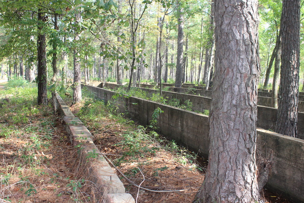
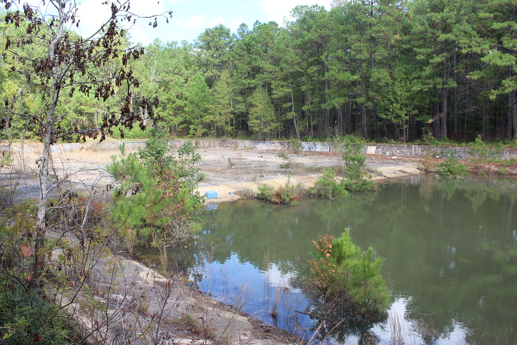
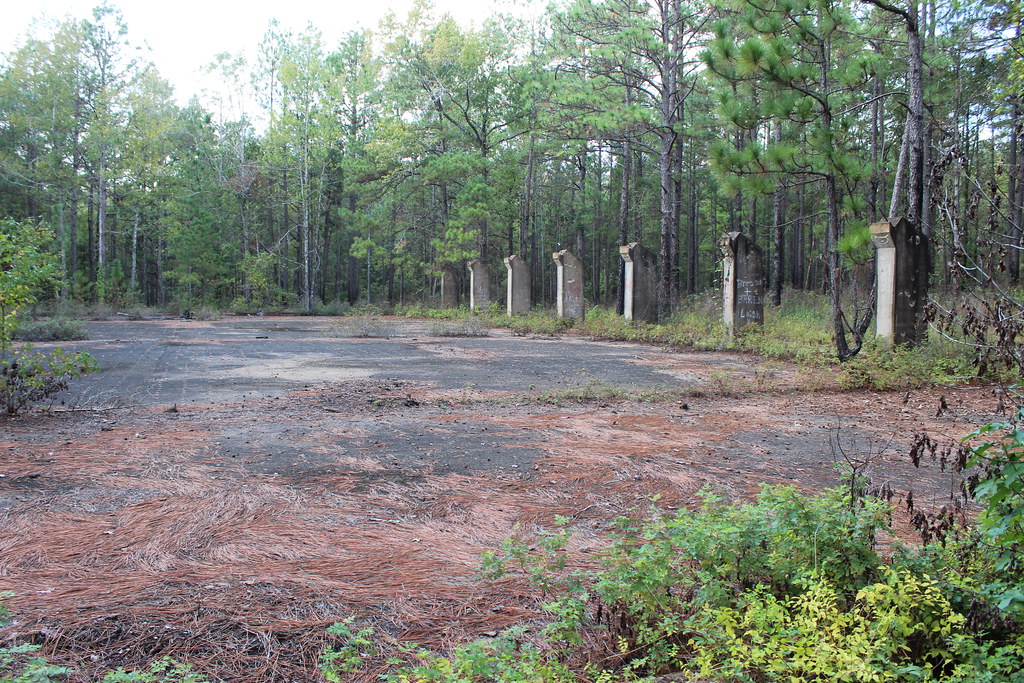
Kisatchie National Forest
Kisatchie National Forest
IMG_0174-1
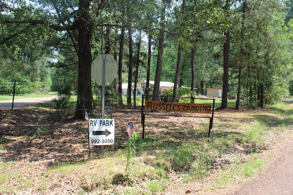
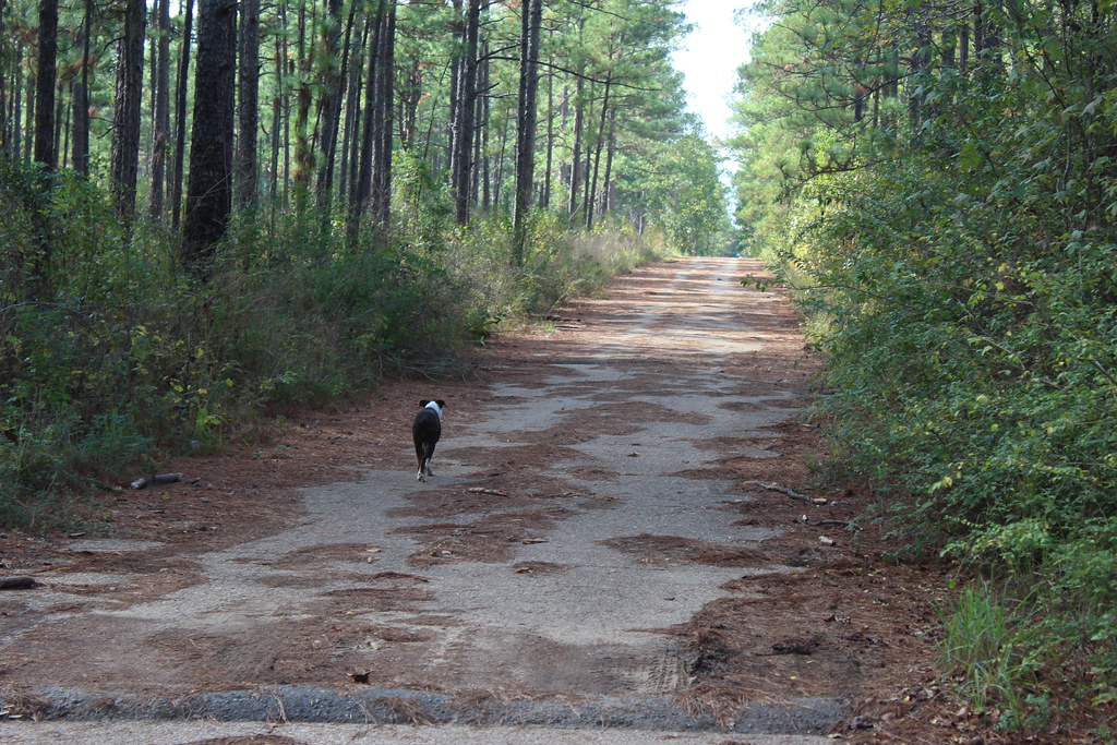
Russell's Landing
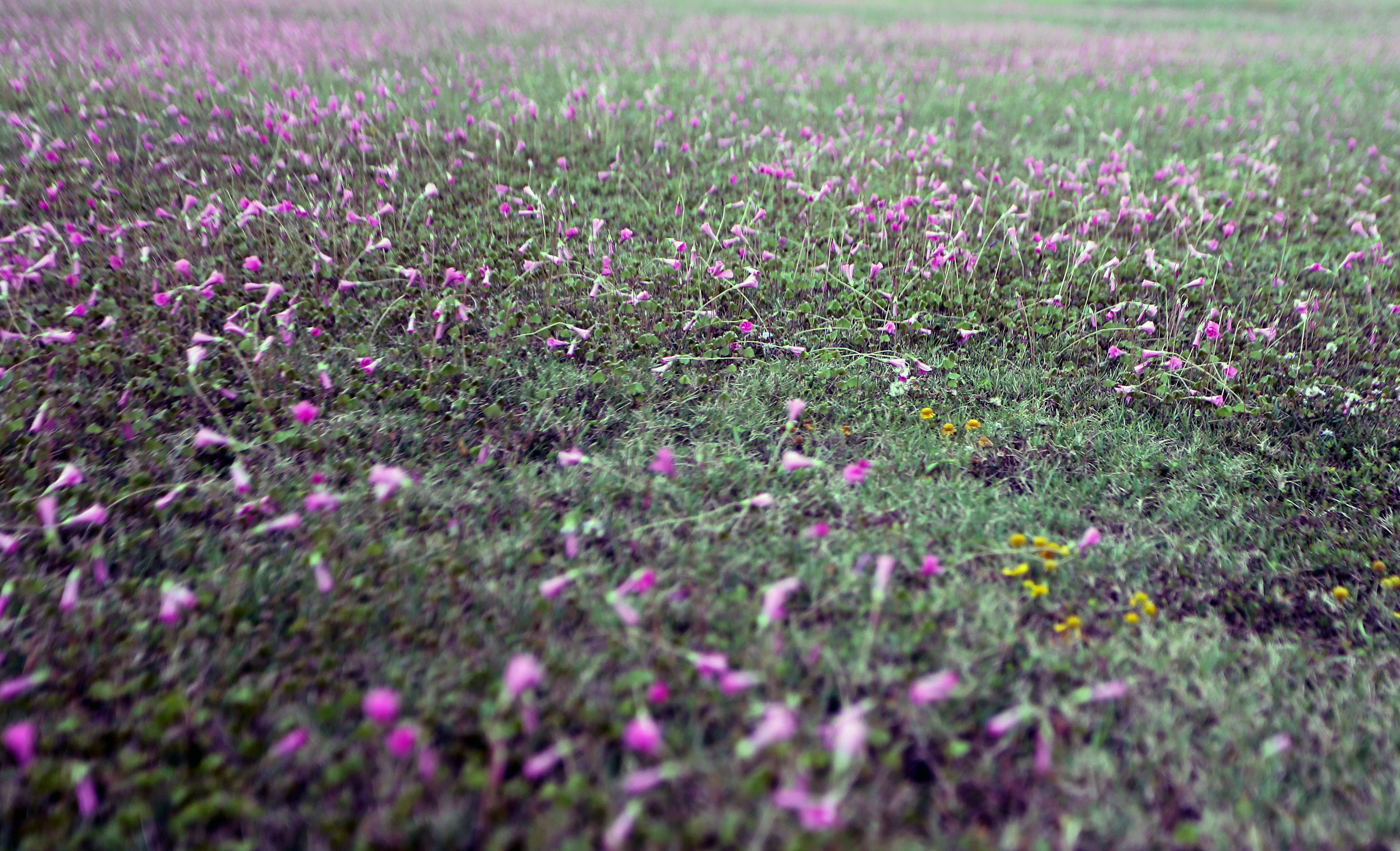
Kisatchie National Forest
Kisatchie National Forest

It doesn't add up!

Fred Fulton with MyJo, Possum point La
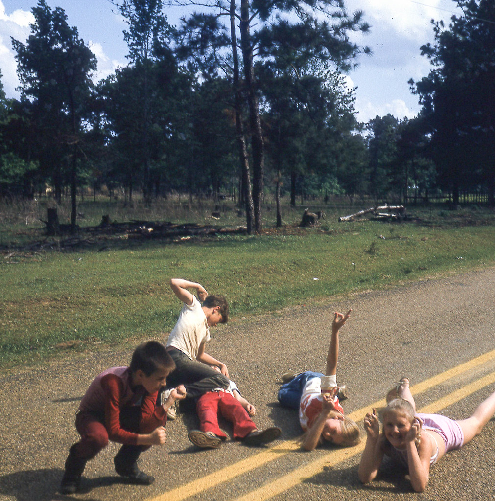
Road Rage, Charly, Chester, JHouston, Beth Ann, Linda Ellen
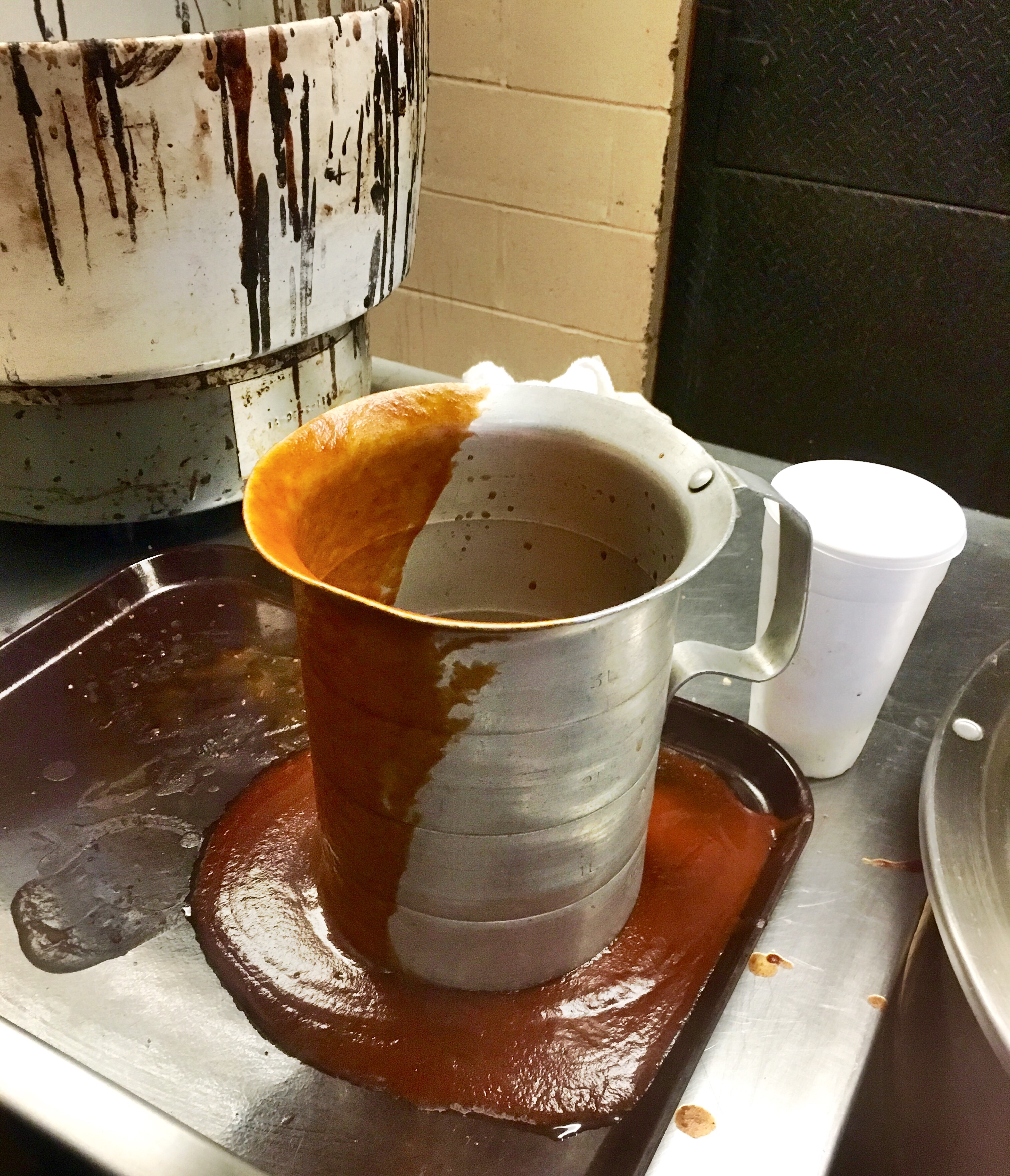
Good Gravy!

Wet Blue F
Helter Skelter
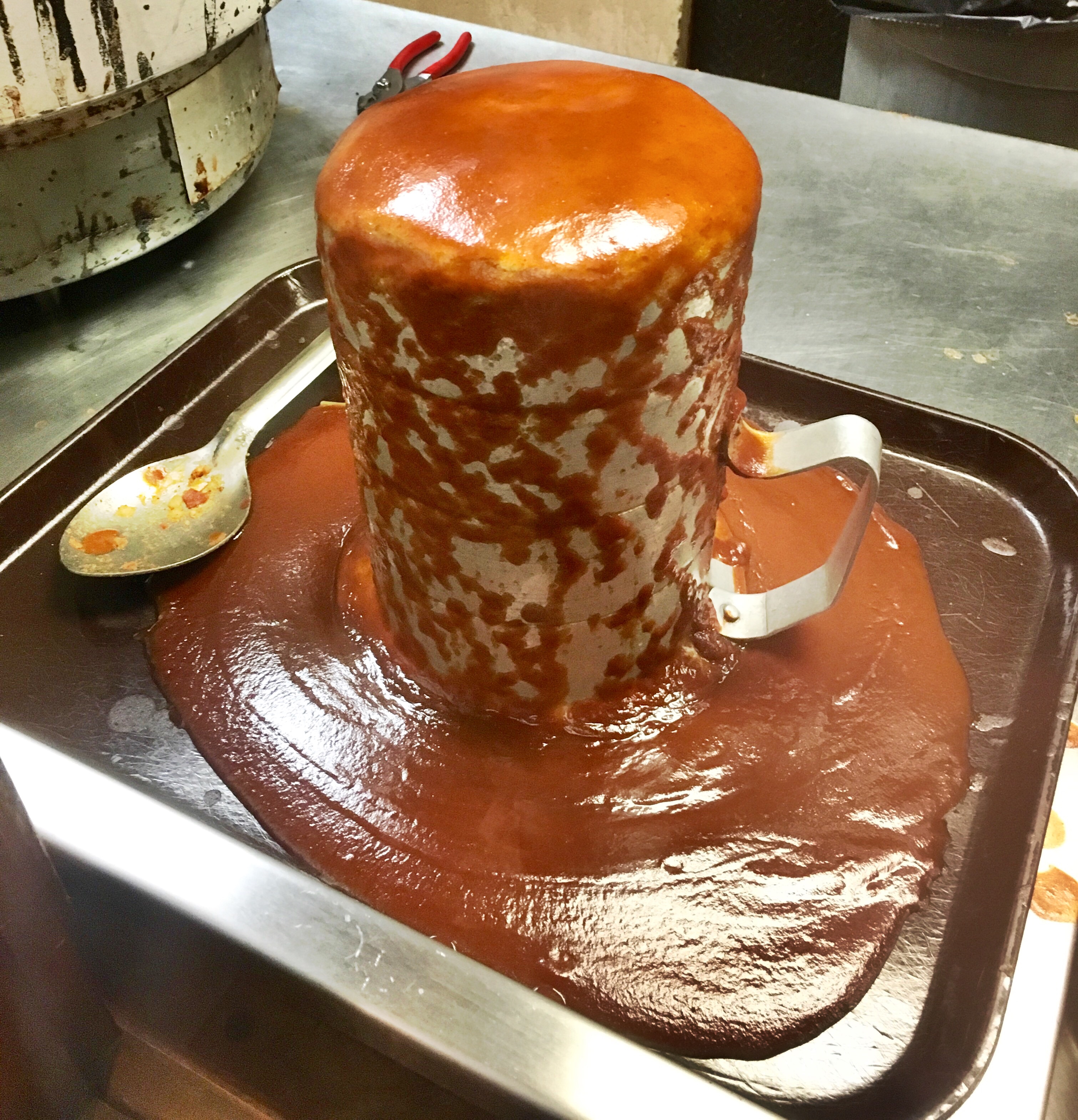
Don't cry over spilled sauce!
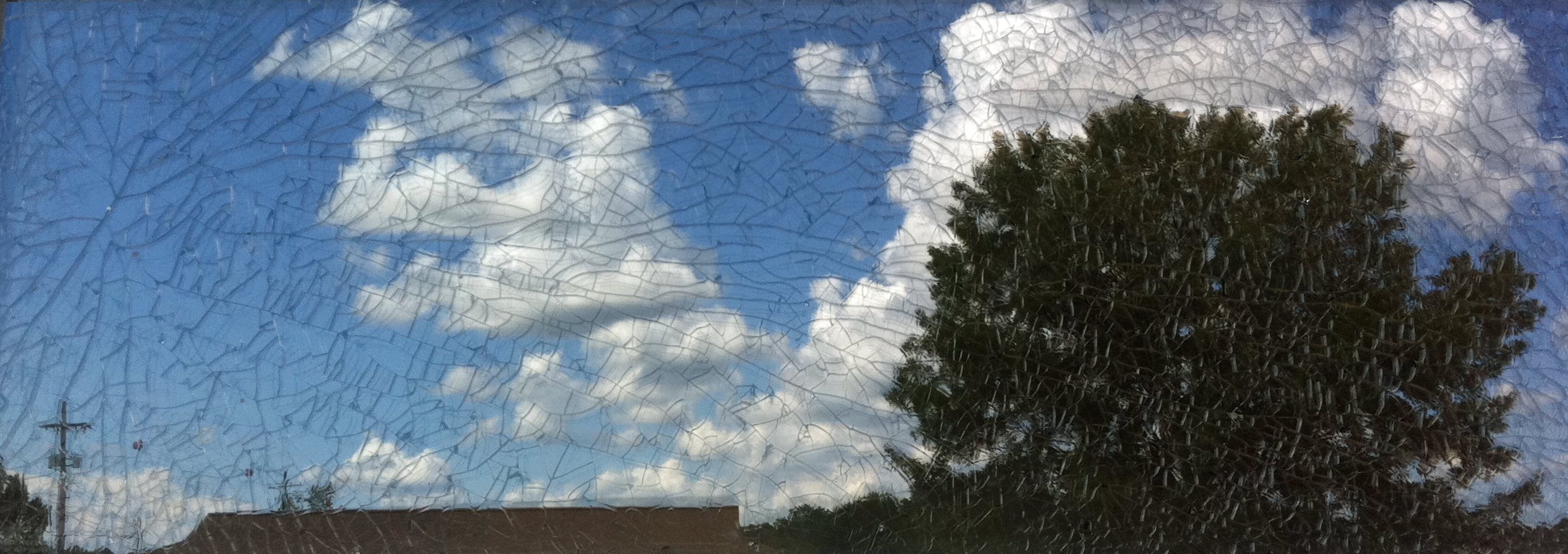
Shattered (In Explore 2/14/16)

Rust never sleeps
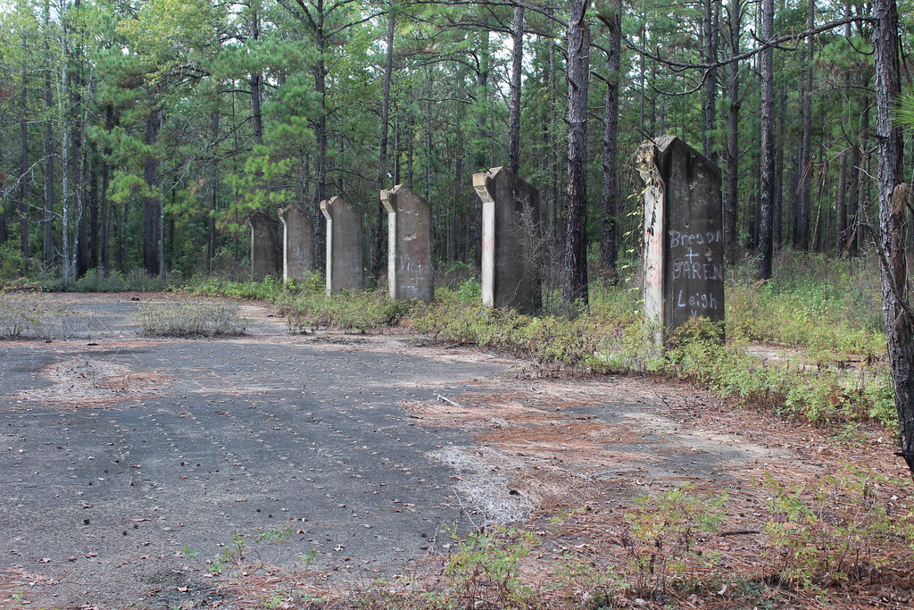
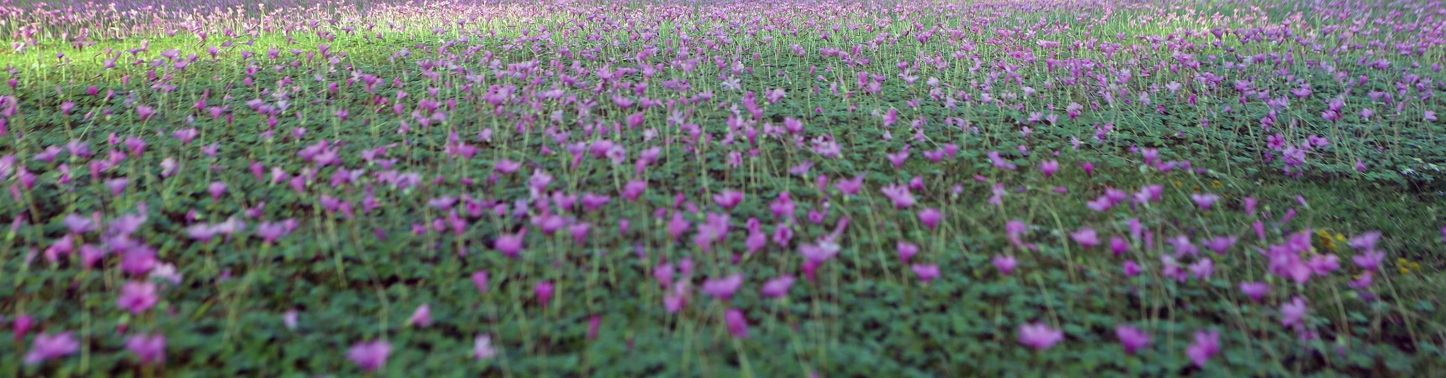
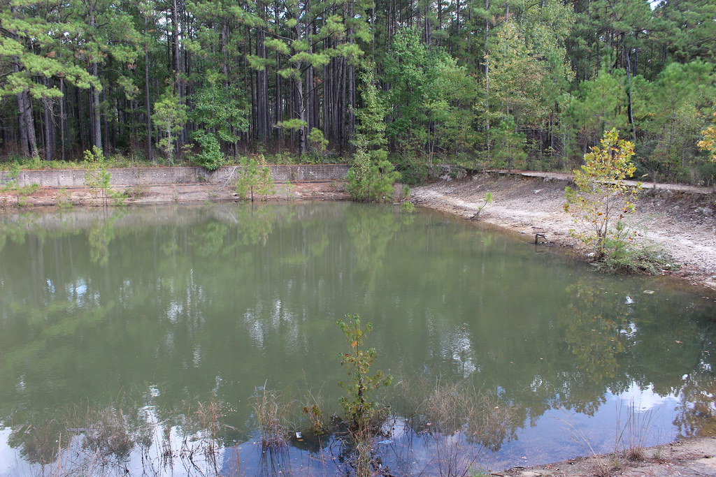
Kisatchie National Forest
Kisatchie National Forest

Alpenglow on clouds
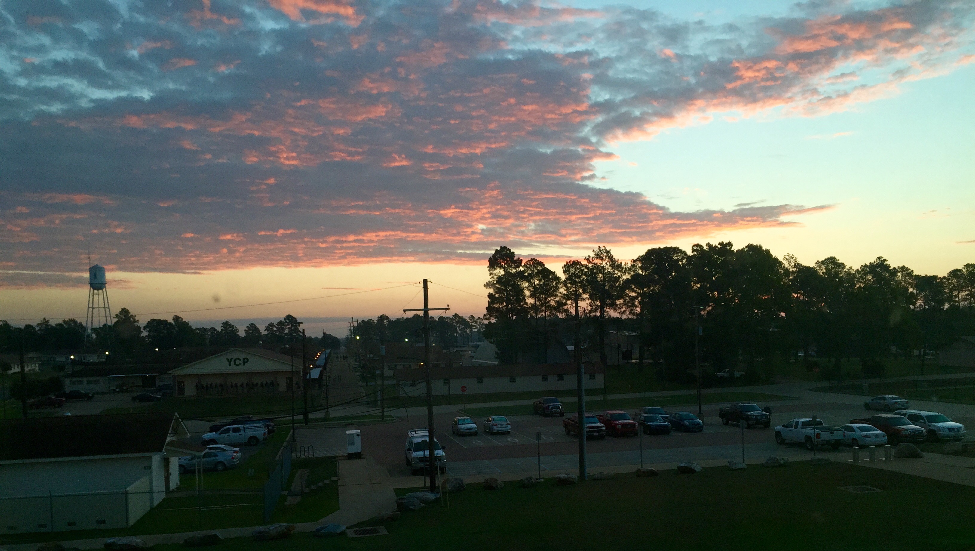
Sailors take warning

Amber eyes
Topographic Map of C, LA, USA
Find elevation by address:

Places in C, LA, USA:
Places near C, LA, USA:
Barron
Morris Sasser Road
LA-, Deville, LA, USA
LA-, Deville, LA, USA
86 Deville Cutoff Rd
Deville
Deville Cutoff Road
Esler Field Rd, Pineville, LA, USA
425 Fendler Pkwy
Old Marksville Hwy, Pineville, LA, USA
322 Pinehill Rd
208 Woodcliff Cir
B
141 Sunburst Ln
125 Lemons Ln
550 Hiawatha Trail
818 Brooks Ln
A
Davis Drive
200 Military Hwy
Recent Searches:
- Elevation of Corso Fratelli Cairoli, 35, Macerata MC, Italy
- Elevation of Tallevast Rd, Sarasota, FL, USA
- Elevation of 4th St E, Sonoma, CA, USA
- Elevation of Black Hollow Rd, Pennsdale, PA, USA
- Elevation of Oakland Ave, Williamsport, PA, USA
- Elevation of Pedrógão Grande, Portugal
- Elevation of Klee Dr, Martinsburg, WV, USA
- Elevation of Via Roma, Pieranica CR, Italy
- Elevation of Tavkvetili Mountain, Georgia
- Elevation of Hartfords Bluff Cir, Mt Pleasant, SC, USA