Elevation of LA-, Anacoco, LA, USA
Location: United States > Louisiana > Vernon Parish > >
Longitude: -93.5088885
Latitude: 31.1559544
Elevation: 54m / 177feet
Barometric Pressure: 0KPa
Related Photos:
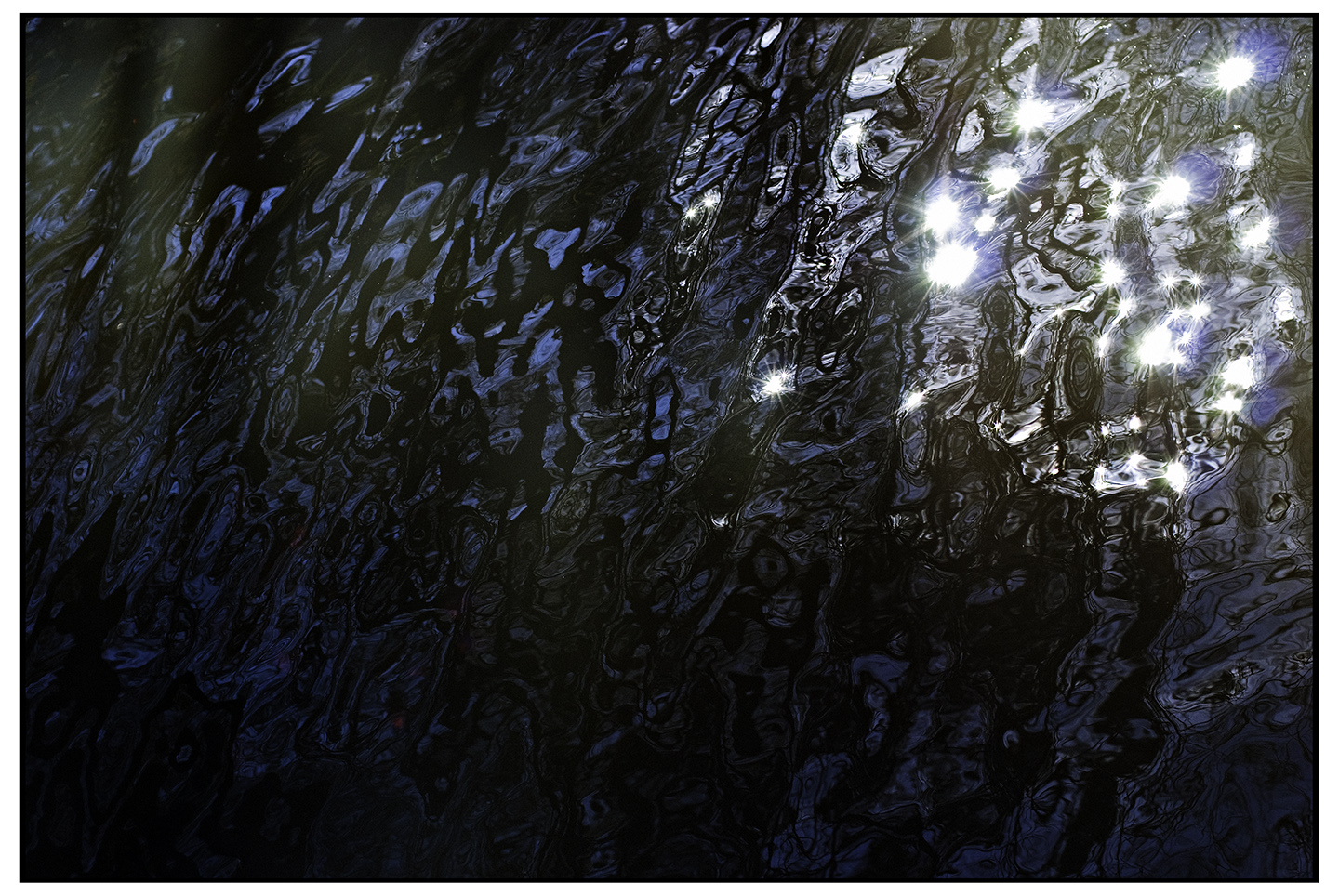
Sparkles of Life

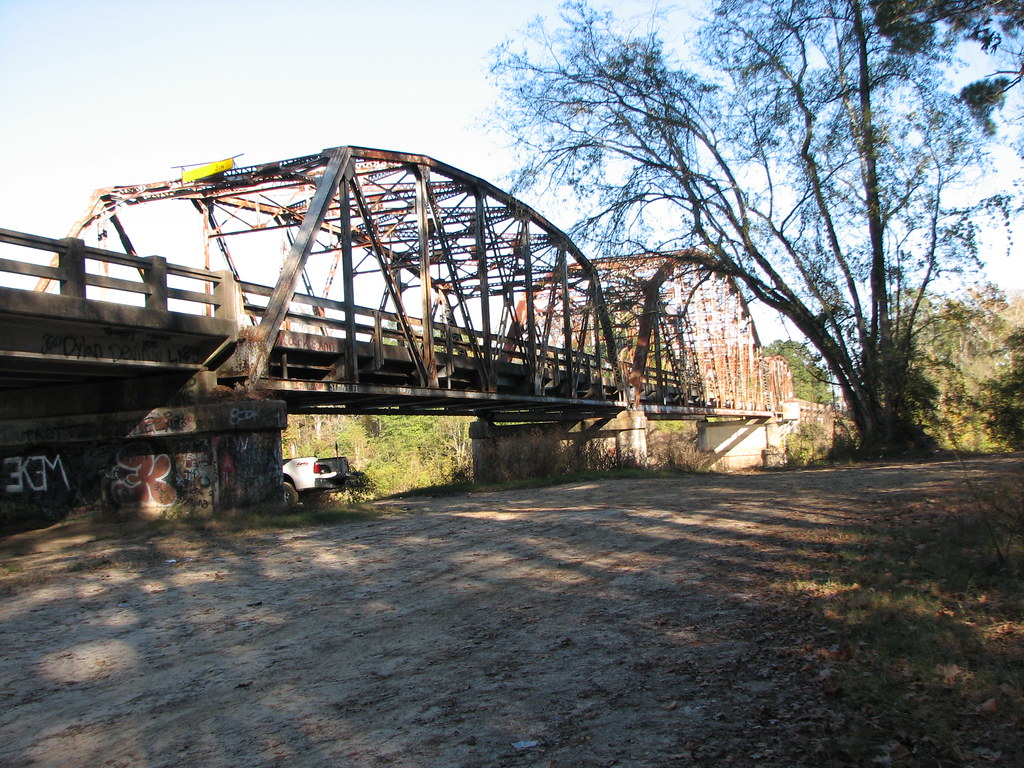
Burr's Ferry Bridge-Side View Looking West
Burr's Ferry Bridge-Side View Looking East

Burr's Ferry Bridge-West Approach Deck View
Burr's Ferry Bridge-Side View East Approach

Banks of the Sabine River -Infrared

Ten Years of Kyle
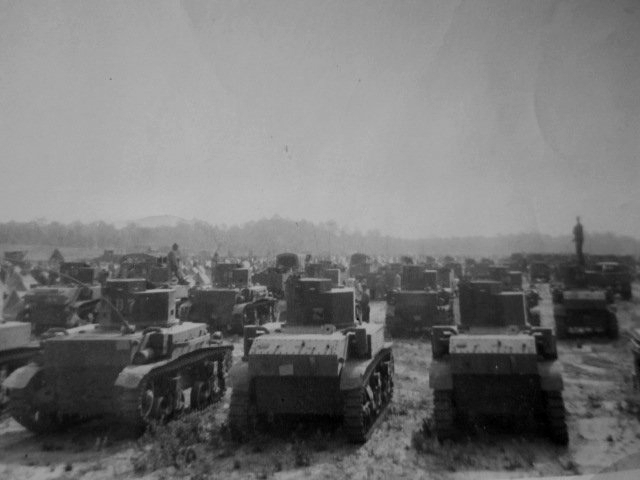
Louisiana Maneuvers 13
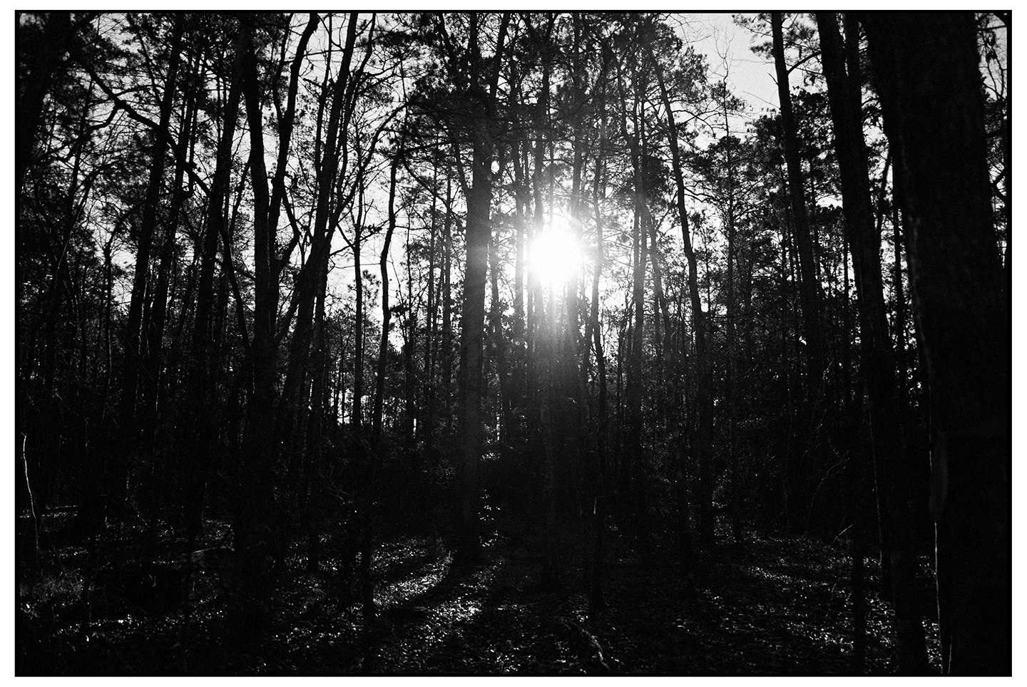
Piney Woods TRI-X 400

20160914_190209-edit
20160914_190559-edit

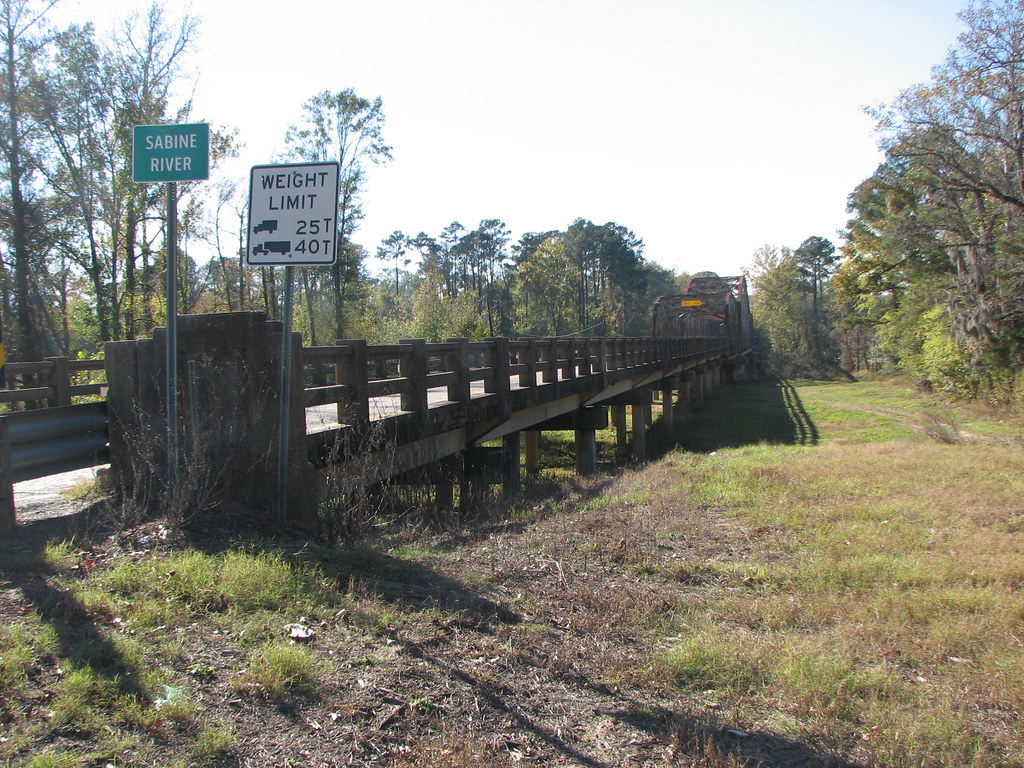
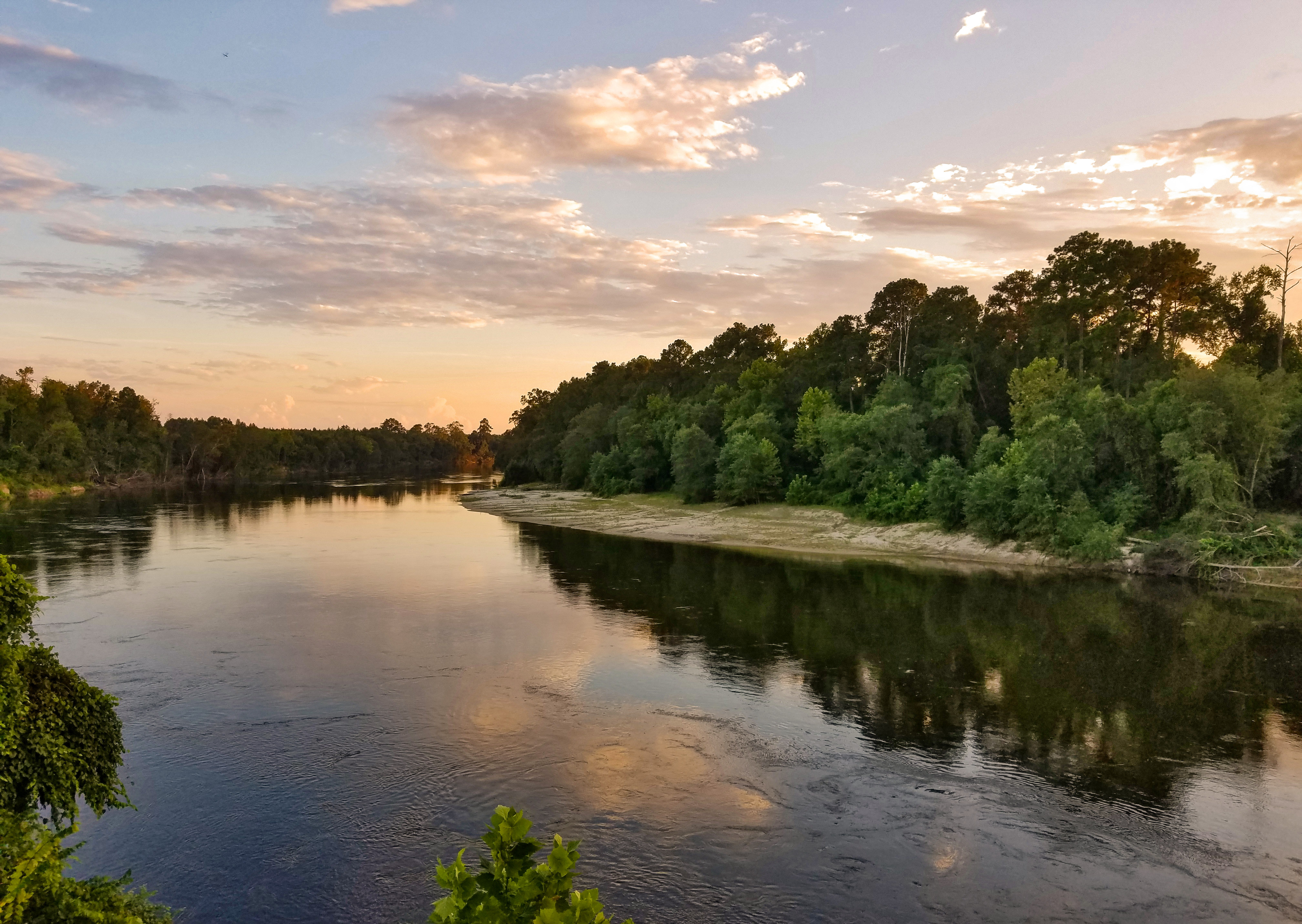
Sabine River

Richard-Reunion-2012-99.jpg

Good morning!

Lakehouse Sunset
Topographic Map of LA-, Anacoco, LA, USA
Find elevation by address:

Places near LA-, Anacoco, LA, USA:
546 Old River Rd
Toledo
Hickman Road
3, LA, USA
South Toledo Bend
LA-8, Leesville, LA, USA
143 Twin Oaks Dr
143 Twin Oaks Dr
2, LA, USA
9, LA, USA
2126 County Rd 2125
Shreveport Hwy, Anacoco, LA, USA
Anacoco
354 Ball Park Rd
Par Rd 66, Hornbeck, LA, USA
Hornbeck
Shreveport Hwy, Leesville, LA, USA
Burkeville
State Hwy 87, Hemphill, TX, USA
Par Rd 5, Leesville, LA, USA
Recent Searches:
- Elevation map of Greenland, Greenland
- Elevation of Sullivan Hill, New York, New York, 10002, USA
- Elevation of Morehead Road, Withrow Downs, Charlotte, Mecklenburg County, North Carolina, 28262, USA
- Elevation of 2800, Morehead Road, Withrow Downs, Charlotte, Mecklenburg County, North Carolina, 28262, USA
- Elevation of Yangbi Yi Autonomous County, Yunnan, China
- Elevation of Pingpo, Yangbi Yi Autonomous County, Yunnan, China
- Elevation of Mount Malong, Pingpo, Yangbi Yi Autonomous County, Yunnan, China
- Elevation map of Yongping County, Yunnan, China
- Elevation of North 8th Street, Palatka, Putnam County, Florida, 32177, USA
- Elevation of 107, Big Apple Road, East Palatka, Putnam County, Florida, 32131, USA
- Elevation of Jiezi, Chongzhou City, Sichuan, China
- Elevation of Chongzhou City, Sichuan, China
- Elevation of Huaiyuan, Chongzhou City, Sichuan, China
- Elevation of Qingxia, Chengdu, Sichuan, China
- Elevation of Corso Fratelli Cairoli, 35, Macerata MC, Italy
- Elevation of Tallevast Rd, Sarasota, FL, USA
- Elevation of 4th St E, Sonoma, CA, USA
- Elevation of Black Hollow Rd, Pennsdale, PA, USA
- Elevation of Oakland Ave, Williamsport, PA, USA
- Elevation of Pedrógão Grande, Portugal