Elevation of LA-8, Leesville, LA, USA
Location: United States > Louisiana > Vernon Parish > >
Longitude: -93.394533
Latitude: 31.1189392
Elevation: 70m / 230feet
Barometric Pressure: 100KPa
Elevation Map:
Satellite Map:
Related Photos:
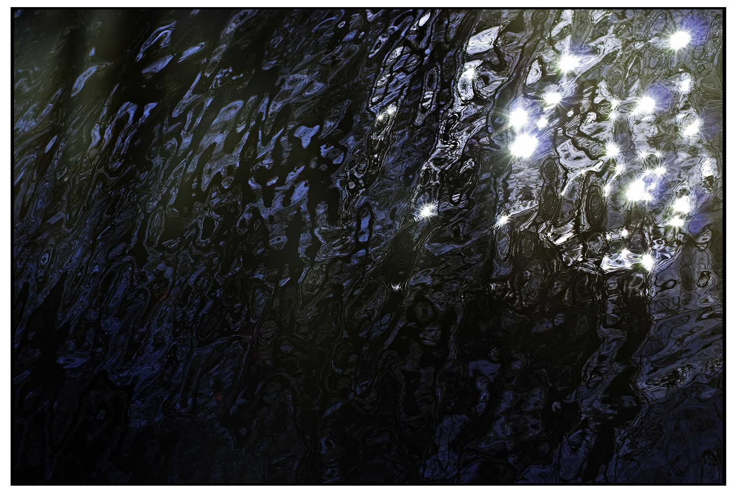
Sparkles of Life
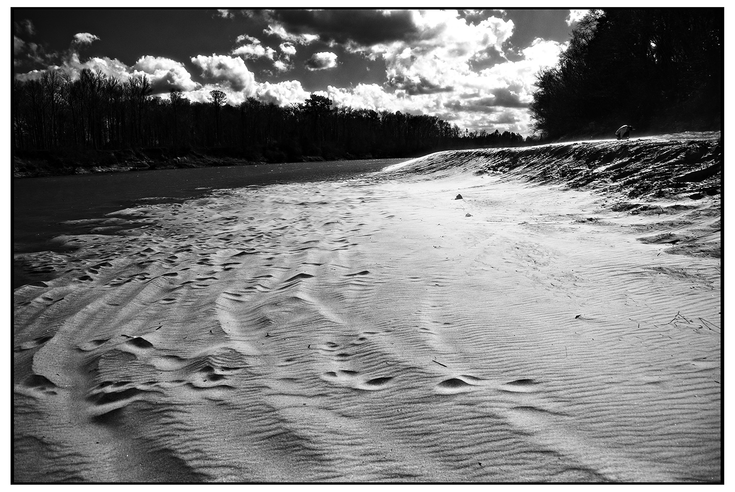
Banks of the Sabine River -Infrared

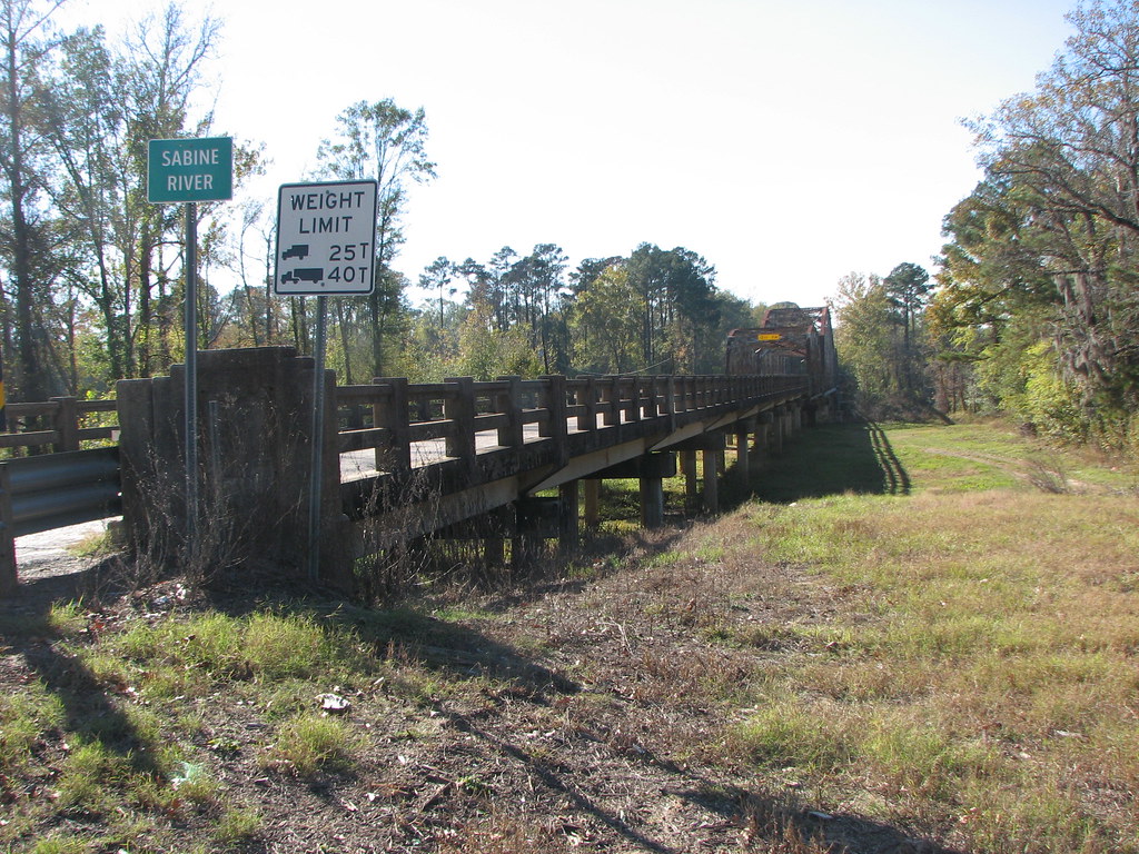
Burr's Ferry Bridge-Side View Looking West
Burr's Ferry Bridge-Side View East Approach
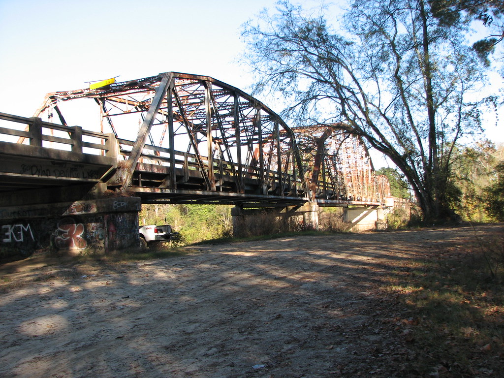
Burr's Ferry Bridge-Side View Looking East
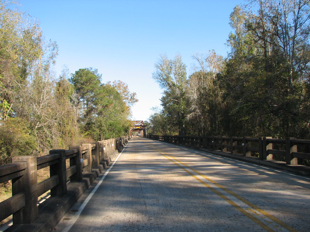
Burr's Ferry Bridge-West Approach Deck View
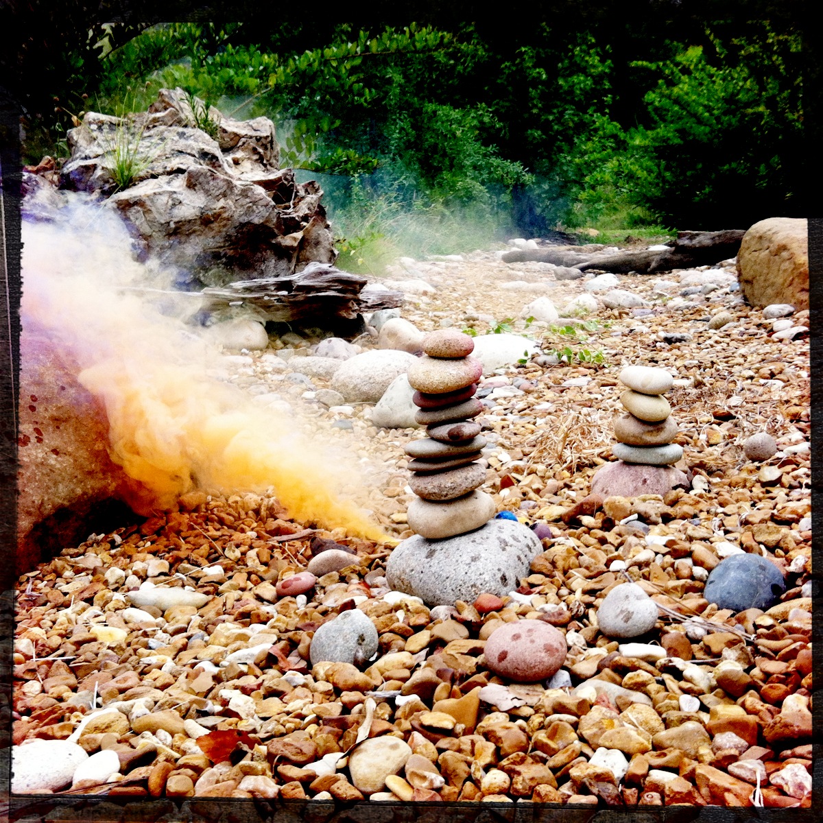
Smoking and Sparking Stacked Stones
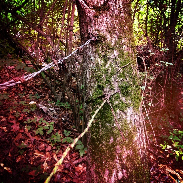
Dag Wire Through Tree

Impromptu Flower Photoshoot
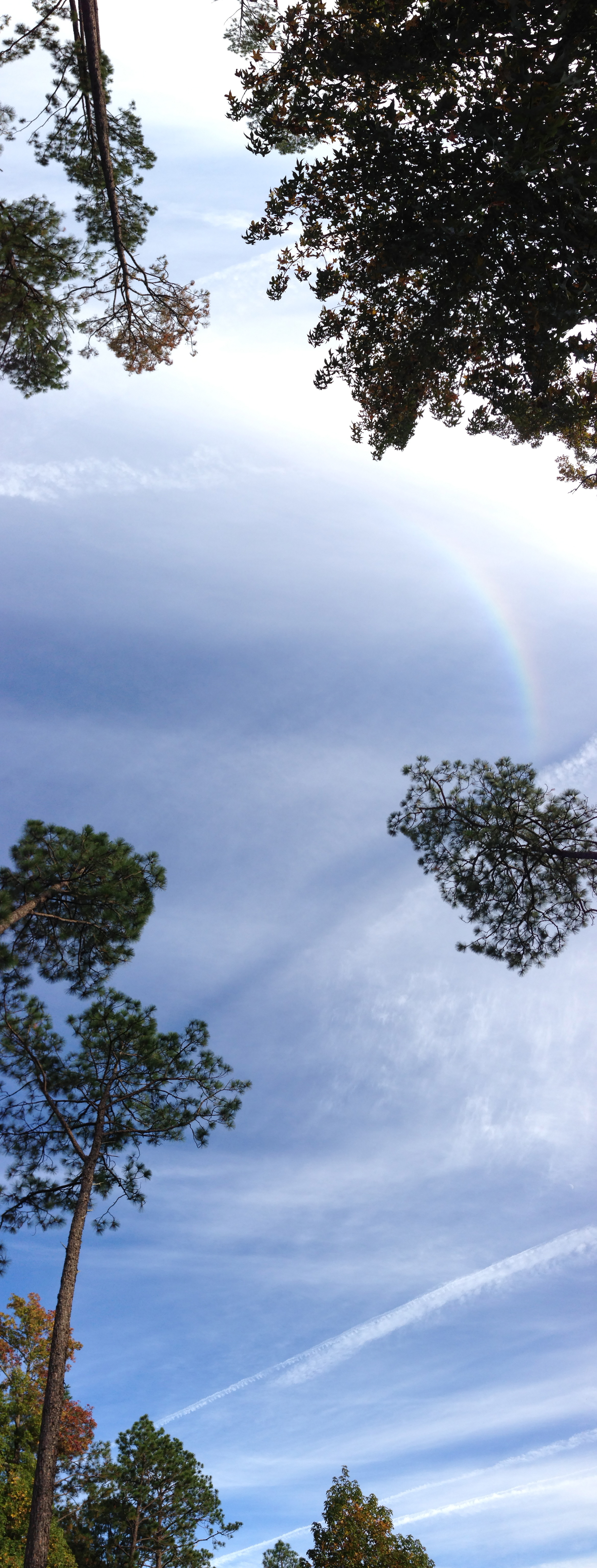
Sun Dog
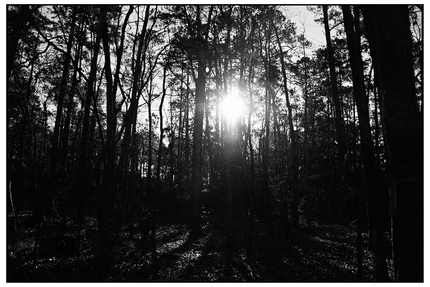
Piney Woods TRI-X 400

Spanish Moss
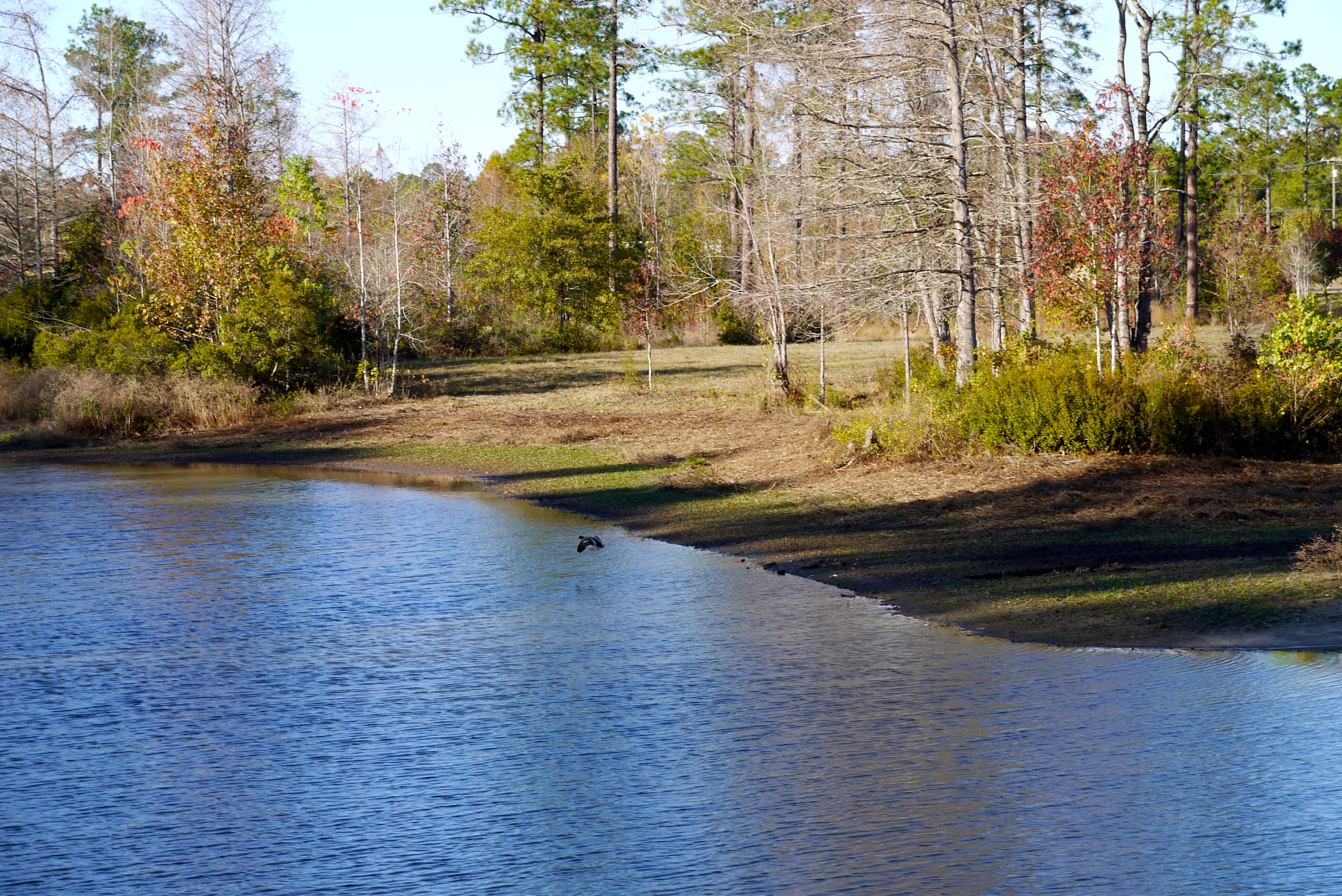
Mallie The Mallard

Sabine River
Topographic Map of LA-8, Leesville, LA, USA
Find elevation by address:

Places near LA-8, Leesville, LA, USA:
143 Twin Oaks Dr
143 Twin Oaks Dr
9, LA, USA
3, LA, USA
11998 La-111
Par Rd 5, Leesville, LA, USA
Parkwood Drive
Shreveport Hwy, Leesville, LA, USA
2, LA, USA
Lake Charles Hwy, Leesville, LA, USA
Leesville
Anacoco
Shreveport Hwy, Anacoco, LA, USA
Lake Charles Hwy, Leesville, LA, USA
546 Old River Rd
354 Ball Park Rd
386 Belview Ln
12, LA, USA
Toledo
Hickman Road
Recent Searches:
- Elevation of Corso Fratelli Cairoli, 35, Macerata MC, Italy
- Elevation of Tallevast Rd, Sarasota, FL, USA
- Elevation of 4th St E, Sonoma, CA, USA
- Elevation of Black Hollow Rd, Pennsdale, PA, USA
- Elevation of Oakland Ave, Williamsport, PA, USA
- Elevation of Pedrógão Grande, Portugal
- Elevation of Klee Dr, Martinsburg, WV, USA
- Elevation of Via Roma, Pieranica CR, Italy
- Elevation of Tavkvetili Mountain, Georgia
- Elevation of Hartfords Bluff Cir, Mt Pleasant, SC, USA