Elevation of KY-39, Eubank, KY, USA
Location: United States > Kentucky > Pulaski County > Eubank > Somerset >
Longitude: -84.506069
Latitude: 37.2914937
Elevation: 338m / 1109feet
Barometric Pressure: 97KPa
Elevation Map:
Satellite Map:
Related Photos:

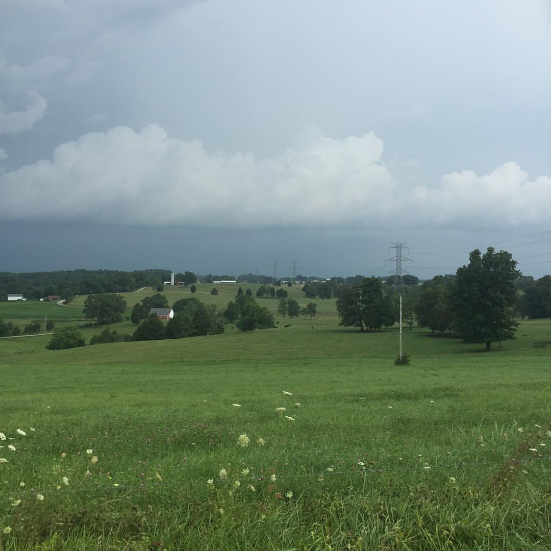
Fall Colors in the Fields of Rockcastle County

Kentucky Sunset
It's chasing me
IMG_2333.JPG

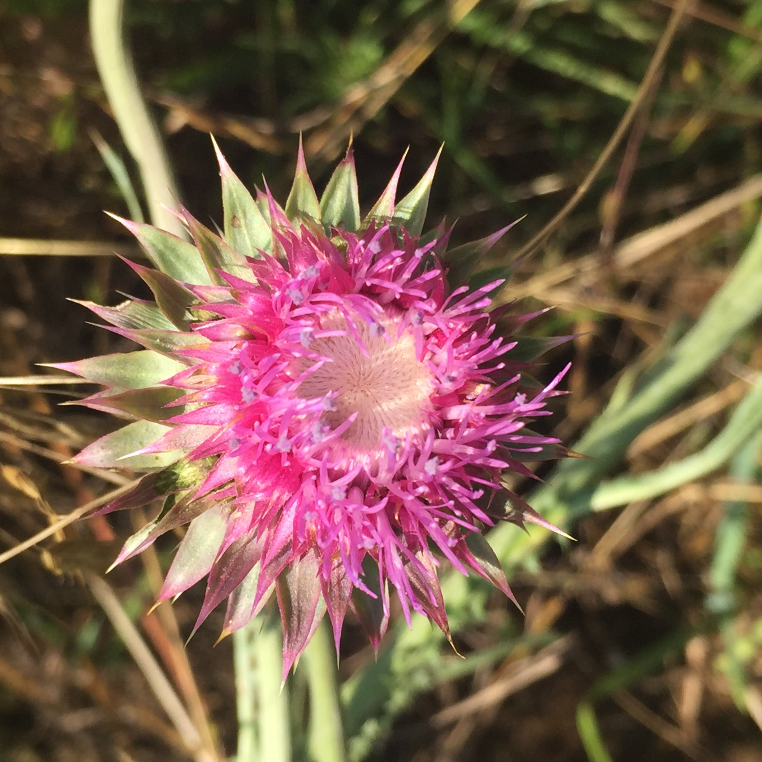
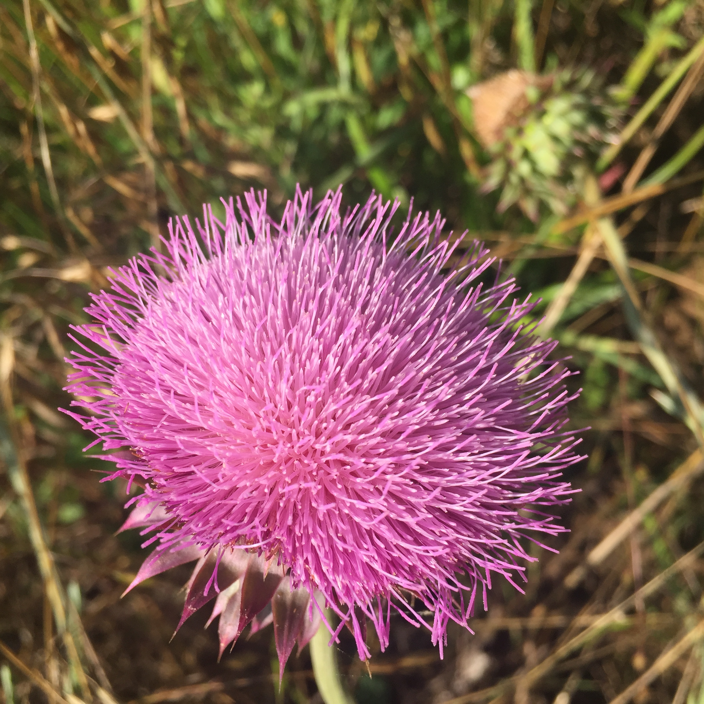
fields of Harvests colors

IMG_2338.JPG
IMG_2337.JPG
IMG_2336.JPG
IMG_2335.JPG
IMG_2334.JPG
IMG_1450.JPG
IMG_1447.JPG

Loading at Mt. Vernon
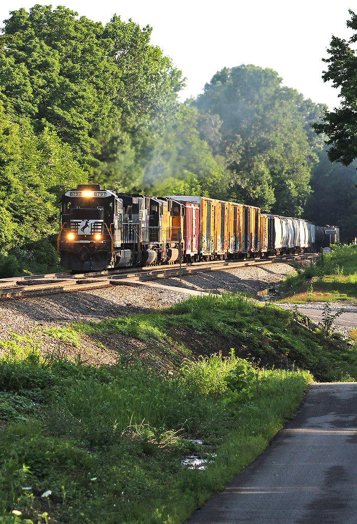
NS 177 at Waynesburg, Ky
NS 179 at Science Hill, Ky

A former BN "Tri-clops" SD60M leads NS 143 at Gradison, KY

Porthole auger / fiber optic cable finder
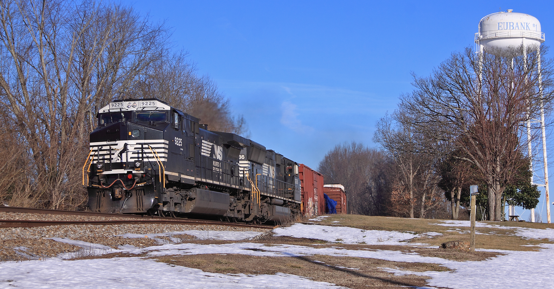
NS 179, Gradison,KY 2/11/2016

#oldchurches #cemetery #oldcemeteries #oldchurchyard
#cemetery #oldcemeteries #oldchurchyard #oldchurchyard
#squirrel #squirrelhunting
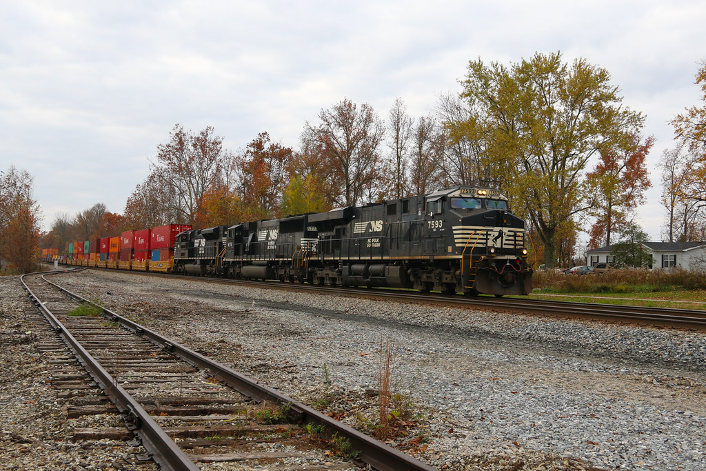
NS 22A, Waynesburg,KY 11/5/2015
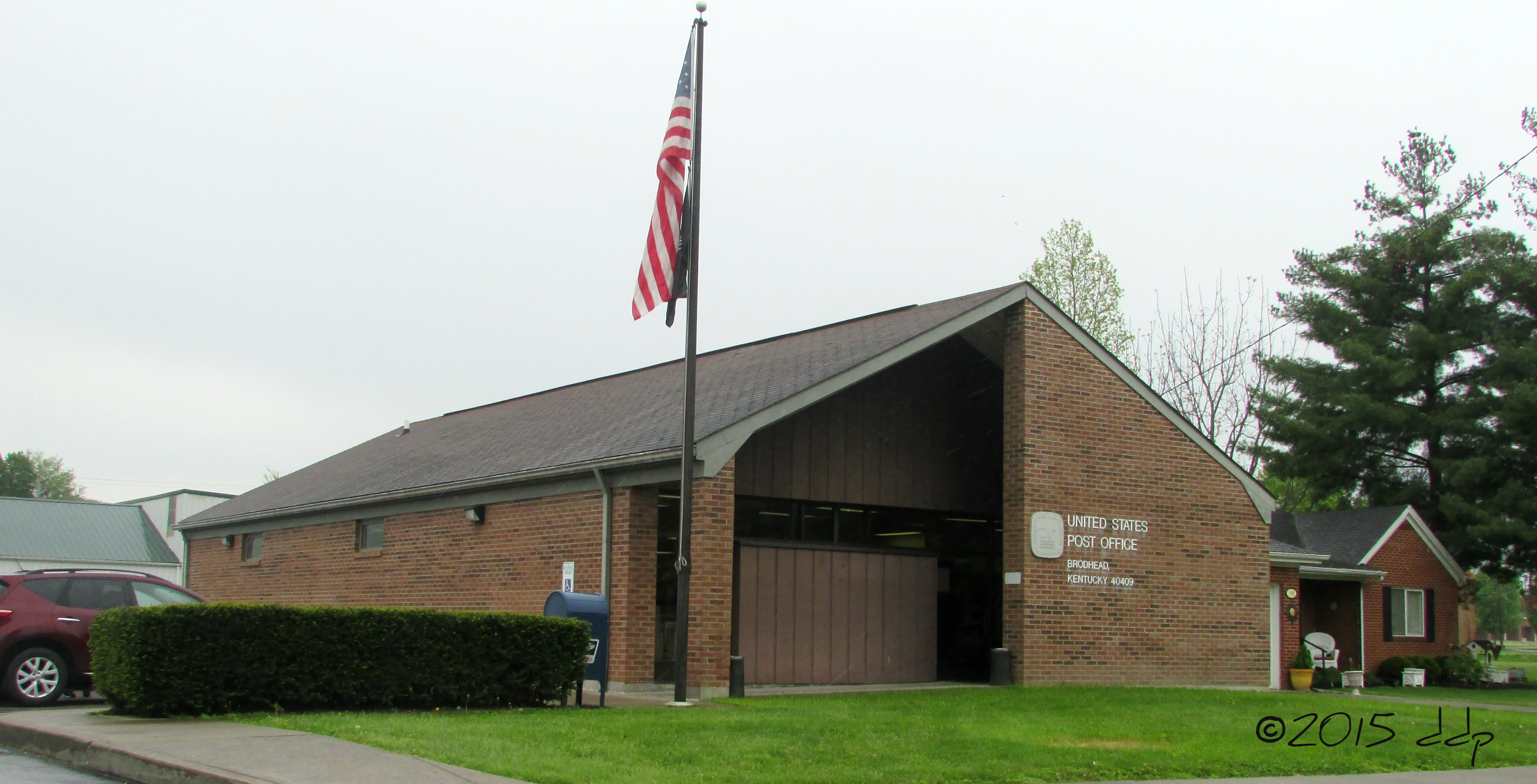
Broadhead Kentucky Post Office
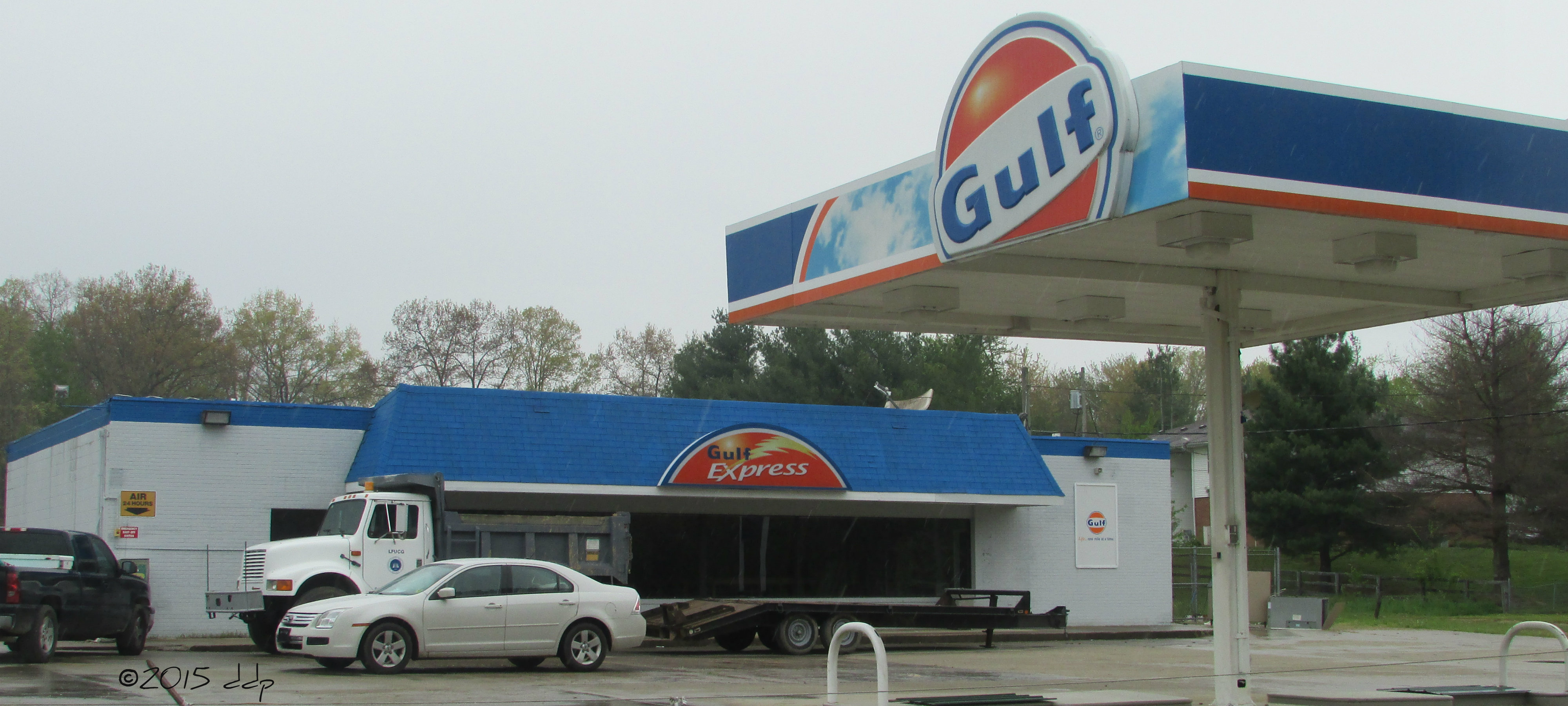
Gulf Express -- Broadhead, KY
Topographic Map of KY-39, Eubank, KY, USA
Find elevation by address:

Places near KY-39, Eubank, KY, USA:
Somerset
Walnut Grove
State Hwy, Somerset, KY, USA
8700 Ky-39
Goochtown Rd, Eubank, KY, USA
1280 Old Mt Vernon Rd
KY-, Crab Orchard, KY, USA
25 Absher Ln
326 Misty Dr
US-, Mt Vernon, KY, USA
1224 Shopville Rd
1350 Coal Pit Rd
Brodhead
72 Sycamore St, Brodhead, KY, USA
59 E Todd Rd
Floyd Switch Spur, Eubank, KY, USA
55 Alice Ln
Eubank
KY-, Waynesburg, KY, USA
122 Cricket Ln
Recent Searches:
- Elevation of Corso Fratelli Cairoli, 35, Macerata MC, Italy
- Elevation of Tallevast Rd, Sarasota, FL, USA
- Elevation of 4th St E, Sonoma, CA, USA
- Elevation of Black Hollow Rd, Pennsdale, PA, USA
- Elevation of Oakland Ave, Williamsport, PA, USA
- Elevation of Pedrógão Grande, Portugal
- Elevation of Klee Dr, Martinsburg, WV, USA
- Elevation of Via Roma, Pieranica CR, Italy
- Elevation of Tavkvetili Mountain, Georgia
- Elevation of Hartfords Bluff Cir, Mt Pleasant, SC, USA