Elevation of Kuroshio, Hata District, Kochi Prefecture, Japan
Location: Japan > Kochi Prefecture > Hata District >
Longitude: 133.0109196
Latitude: 33.0249301
Elevation: 6m / 20feet
Barometric Pressure: 0KPa
Related Photos:

四万十

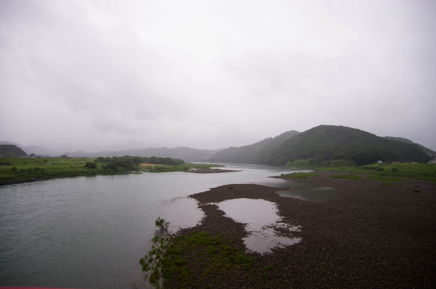
Shimanto Rain
IMGP7070.jpg

足摺 35

Pacific Ocean.
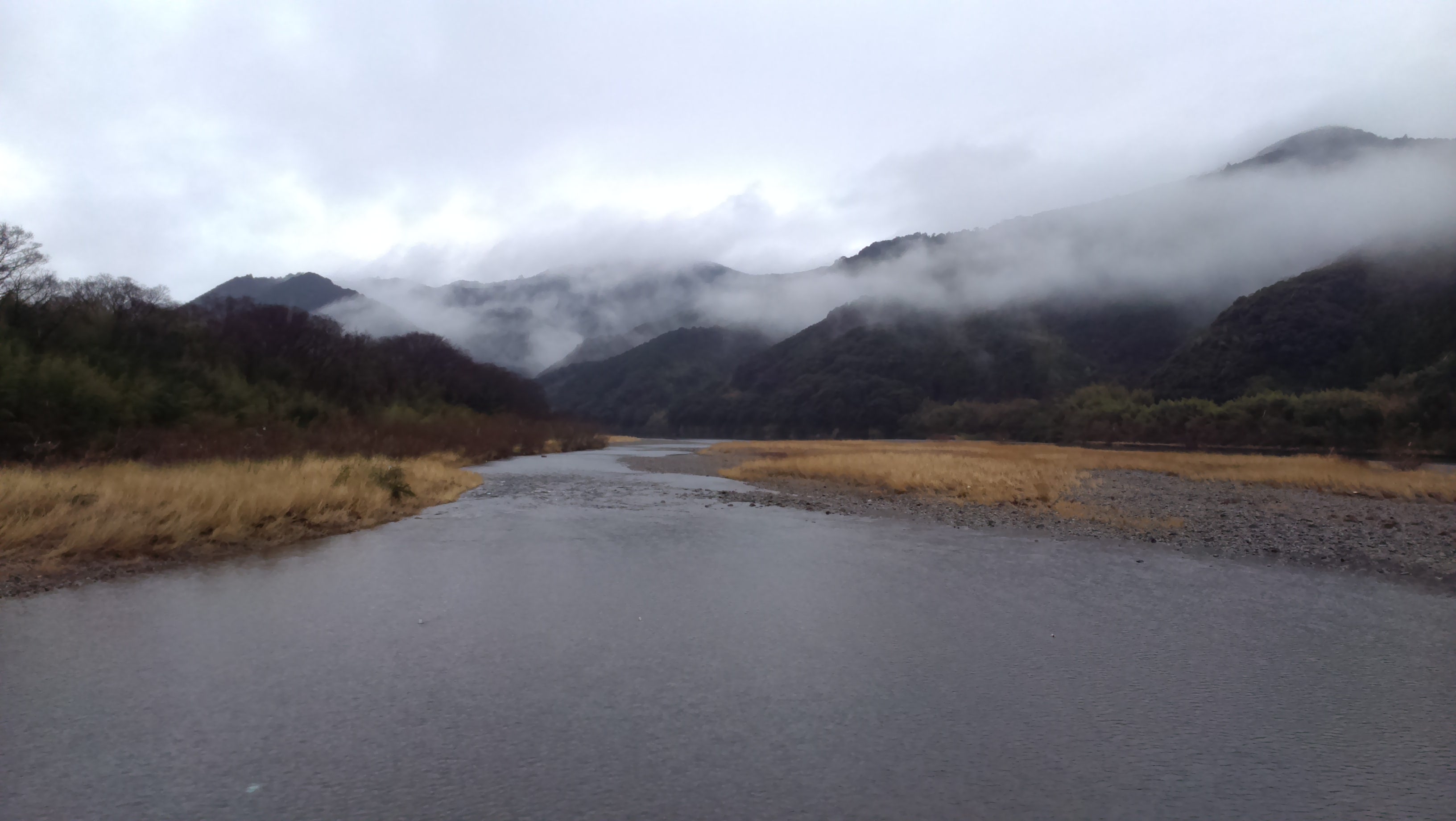
Shimanto River 四万十川

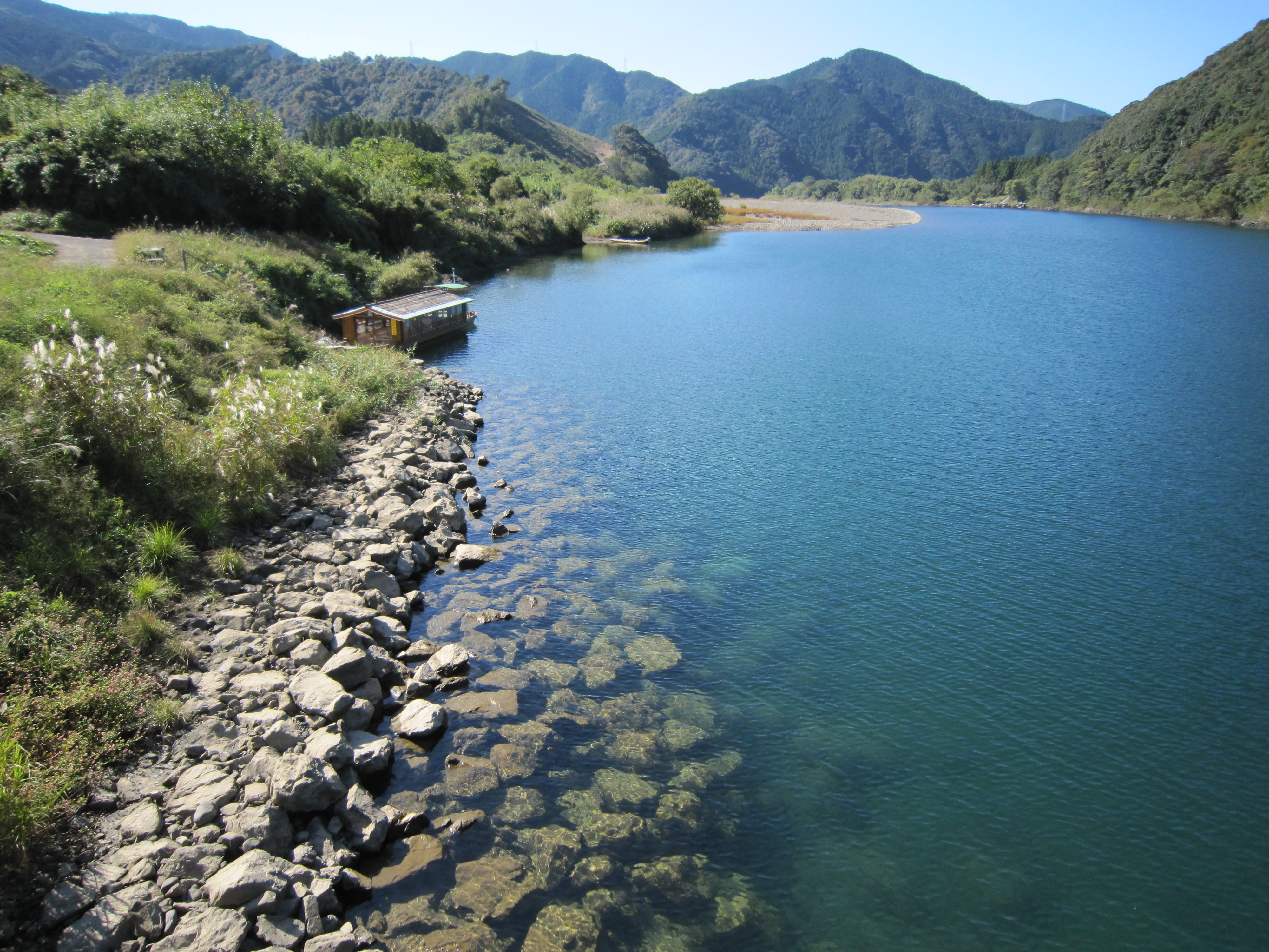
佐田沈下橋2・Sata Bridge
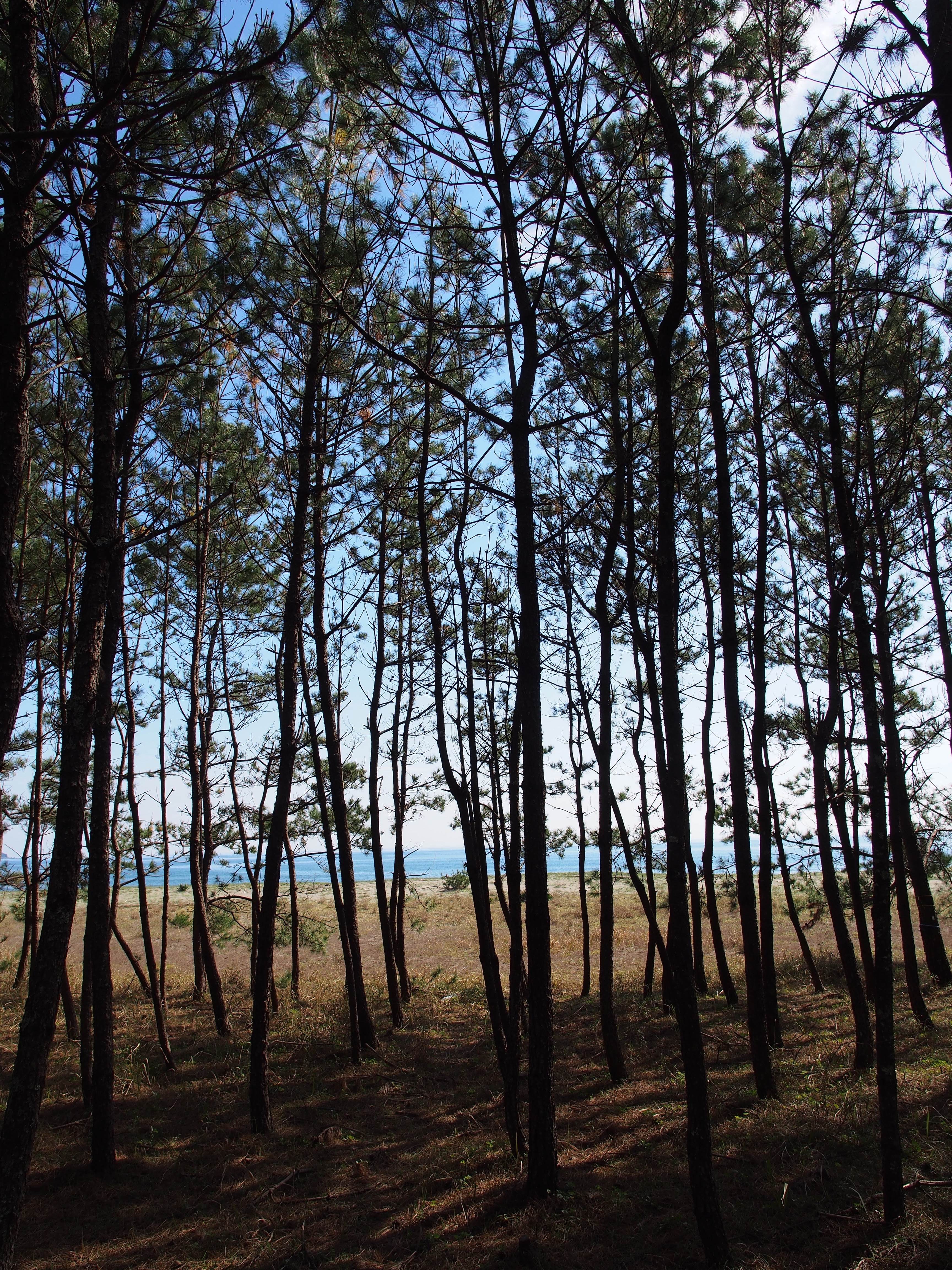
入野松原

佐田沈下橋1・Sata Bridge
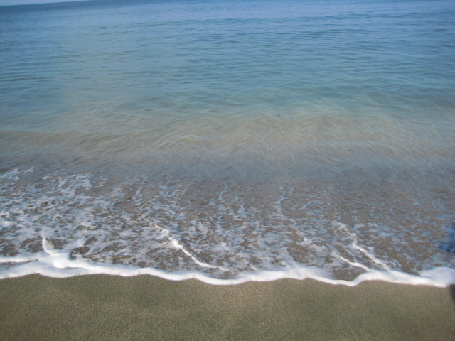
nashishi beach

菜の花@四万十川
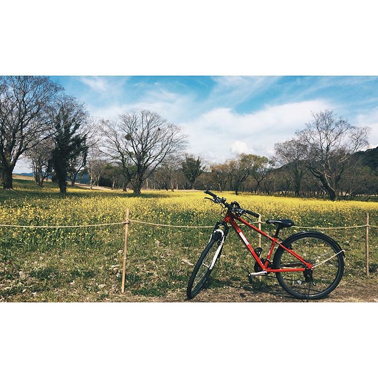
今日我們的同伴... #vsconature #VSCOcam #青空 #油菜花畑 #cycling #????

四万十川.
佐田沈下橋
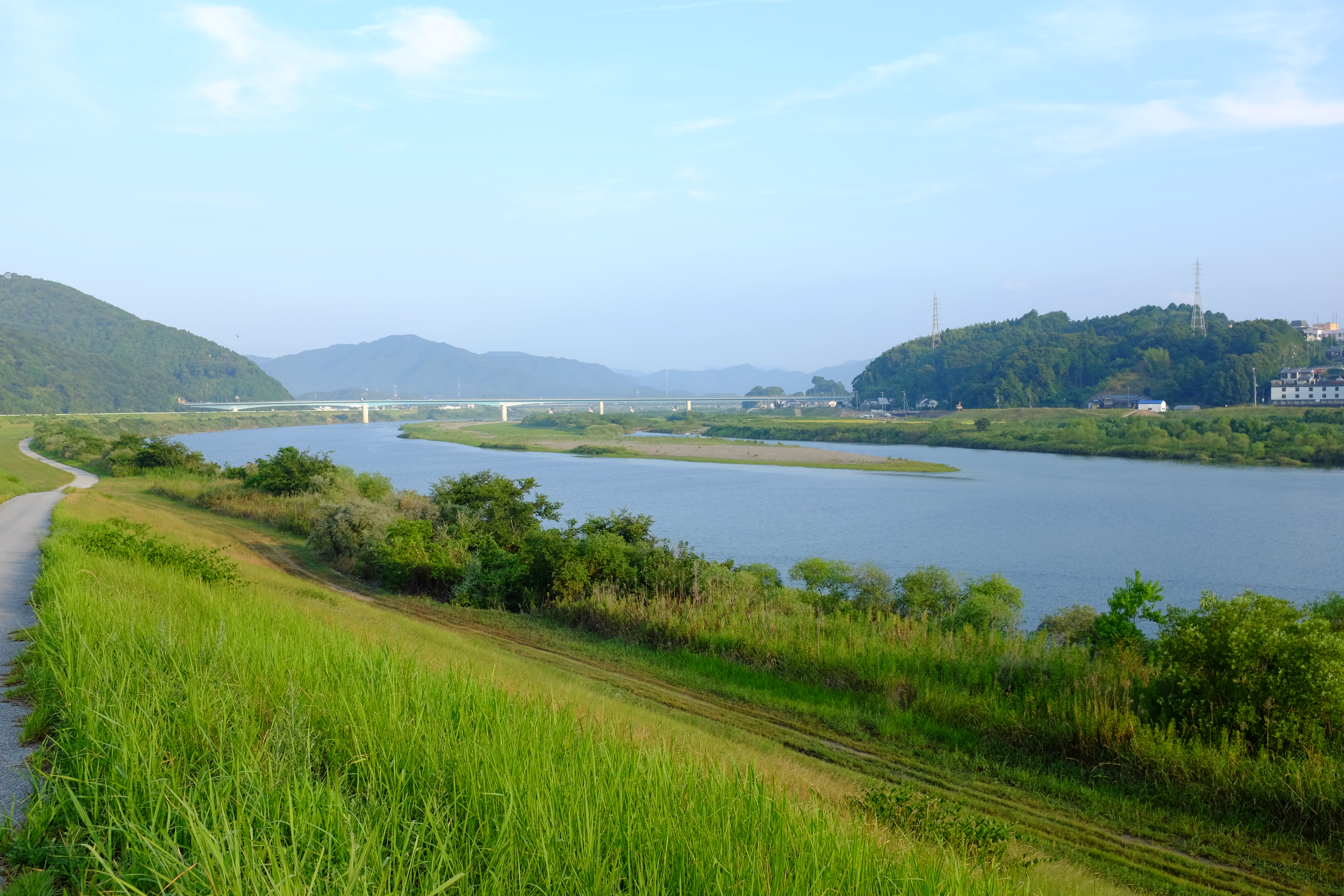
四万十川

Beach.

沉下橋.

入野海岸3・Irino Beach

佐田沈下橋

四万十川.

土佐くろしお鉄道土佐白浜駅あたり
Topographic Map of Kuroshio, Hata District, Kochi Prefecture, Japan
Find elevation by address:

Places in Kuroshio, Hata District, Kochi Prefecture, Japan:
Places near Kuroshio, Hata District, Kochi Prefecture, Japan:
Shimotanokuchi, Kuroshio-chō, Hata-gun, Kōchi-ken -, Japan
16-14 Ekimaechō, Shimanto-shi, Kōchi-ken -, Japan
Shimanto
Taishō, Shimanto-chō, Takaoka-gun, Kōchi-ken -, Japan
Kaminagatani, Mihara-mura, Hata-gun, Kōchi-ken -, Japan
Kurusuno, Mihara-mura, Hata-gun, Kōchi-ken -, Japan
Mihara
Hata District
Kubokawa, Shimanto-chō, Takaoka-gun, Kōchi-ken -, Japan
Shimanto
Tosashimizu
栄幸ビル
1-21 Saiwaichō
Sukumo
7 Chome-5-39 Chūō, Sukumo-shi, Kōchi-ken -, Japan
Takaoka District
Nakatosa
61 Ōnomishimanogawa, Nakatosa-chō, Takaoka-gun, Kōchi-ken -, Japan
Hiromi, Ōtsuki-chō, Hata-gun, Kōchi-ken -, Japan
Otsuki
Recent Searches:
- Elevation of 908, Northwood Drive, Bridge Field, Chesapeake, Virginia, 23322, USA
- Elevation map of Nagano Prefecture, Japan
- Elevation of 587, Bascule Drive, Oakdale, Stanislaus County, California, 95361, USA
- Elevation of Stadion Wankdorf, Sempachstrasse, Breitfeld, Bern, Bern-Mittelland administrative district, Bern, 3014, Switzerland
- Elevation of Z024, 76, Emil-von-Behring-Straße, Marbach, Marburg, Landkreis Marburg-Biedenkopf, Hesse, 35041, Germany
- Elevation of Gaskill Road, Hunts Cross, Liverpool, England, L24 9PH, United Kingdom
- Elevation of Speke, Liverpool, England, L24 9HD, United Kingdom
- Elevation of Seqirus, 475, Green Oaks Parkway, Holly Springs, Wake County, North Carolina, 27540, USA
- Elevation of Pasing, Munich, Bavaria, 81241, Germany
- Elevation of 24, Auburn Bay Crescent SE, Auburn Bay, Calgary, Alberta, T3M 0A6, Canada
- Elevation of Denver, 2314, Arapahoe Street, Five Points, Denver, Colorado, 80205, USA
- Elevation of Community of the Beatitudes, 2924, West 43rd Avenue, Sunnyside, Denver, Colorado, 80211, USA
- Elevation map of Litang County, Sichuan, China
- Elevation map of Madoi County, Qinghai, China
- Elevation of 3314, Ohio State Route 114, Payne, Paulding County, Ohio, 45880, USA
- Elevation of Sarahills Drive, Saratoga, Santa Clara County, California, 95070, USA
- Elevation of Town of Bombay, Franklin County, New York, USA
- Elevation of 9, Convent Lane, Center Moriches, Suffolk County, New York, 11934, USA
- Elevation of Saint Angelas Convent, 9, Convent Lane, Center Moriches, Suffolk County, New York, 11934, USA
- Elevation of 131st Street Southwest, Mukilteo, Snohomish County, Washington, 98275, USA