Elevation of Kuka Cir, Wildomar, CA, USA
Location: United States > California > Riverside County > Wildomar >
Longitude: -117.26094
Latitude: 33.6046989
Elevation: 398m / 1306feet
Barometric Pressure: 97KPa
Elevation Map:
Satellite Map:
Related Photos:
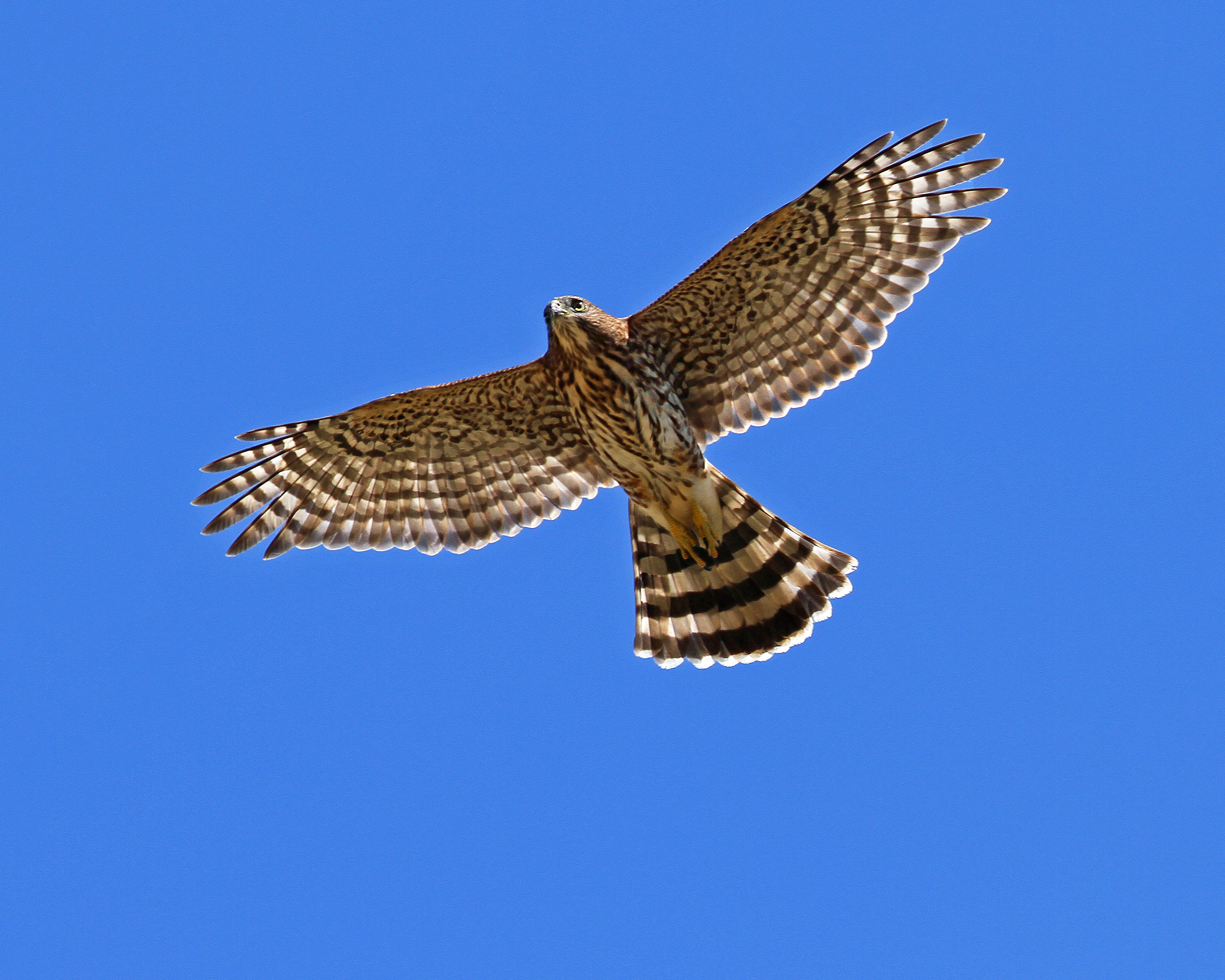
Cooper's Hawk. Murrieta CA.

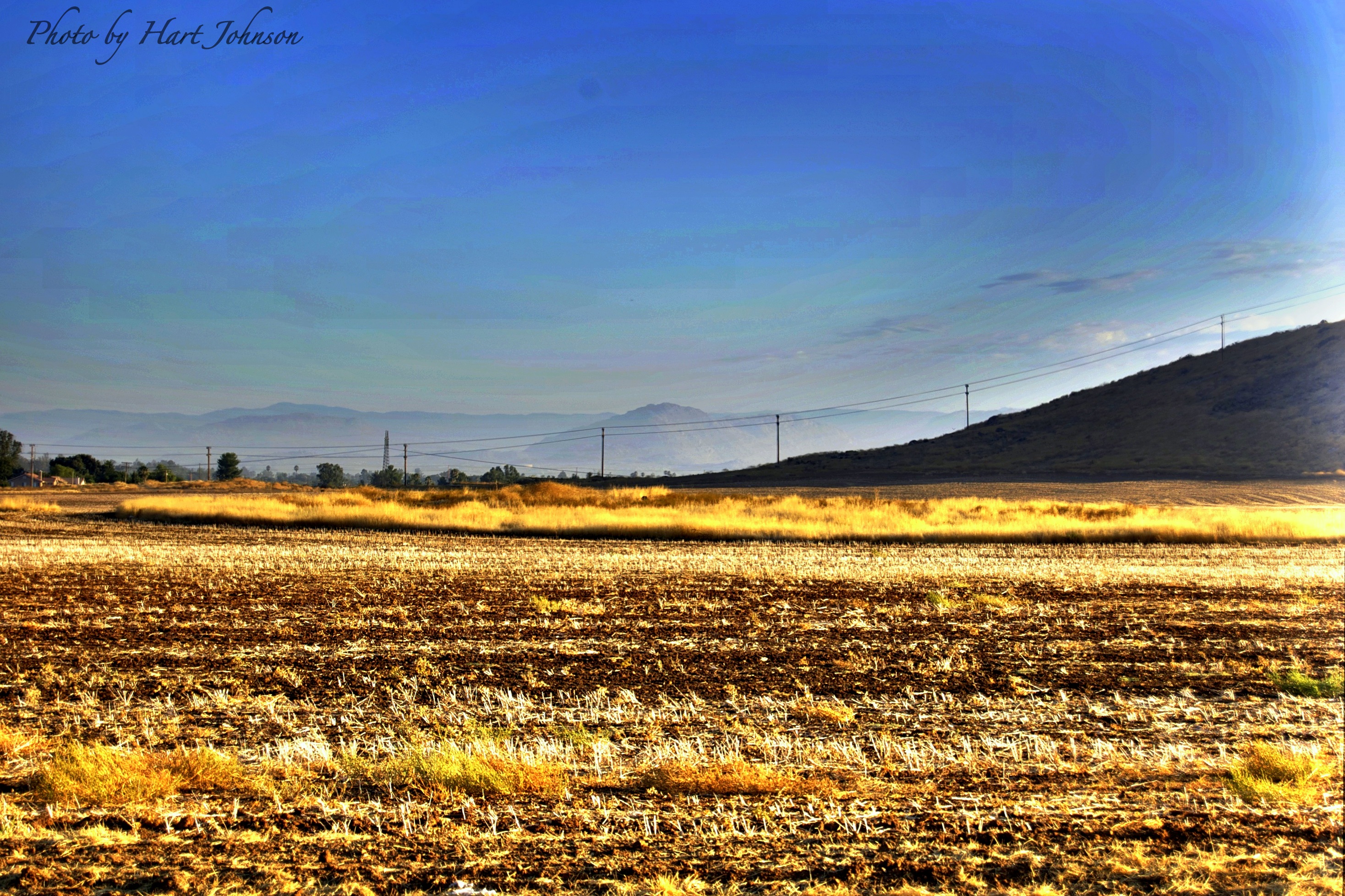
Autumn Creek at Elsinore

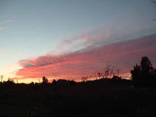
Menifee Sunset
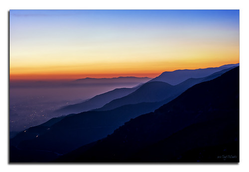
Temecula Valley
Menifee Sunset #2
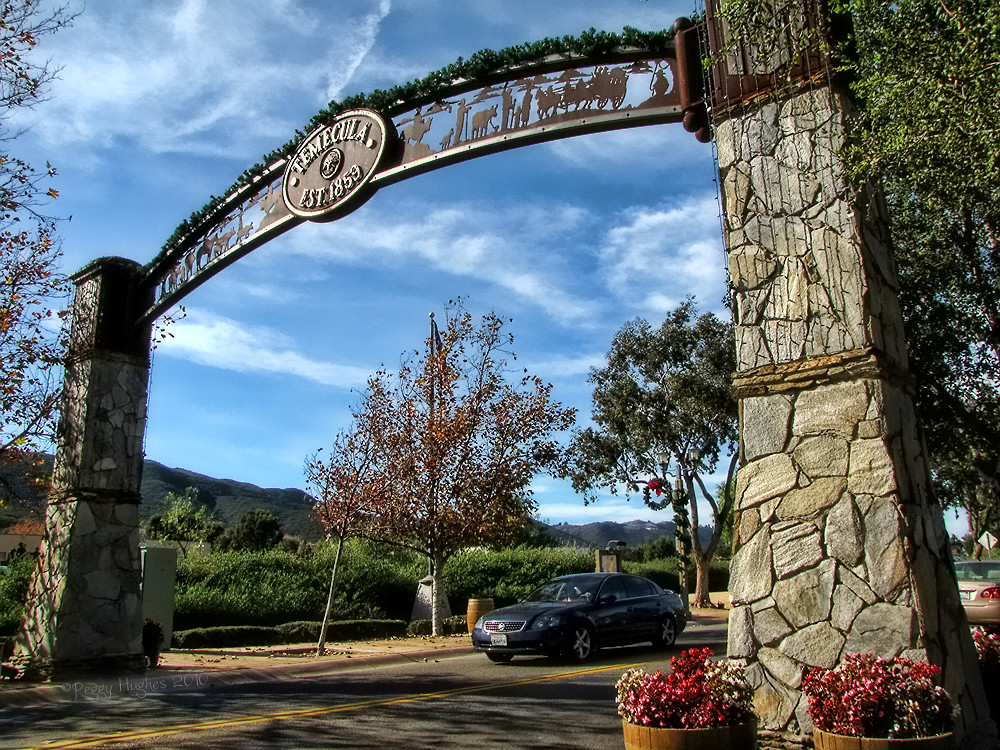
Temecula, California

The Right Hook
Fire Fly

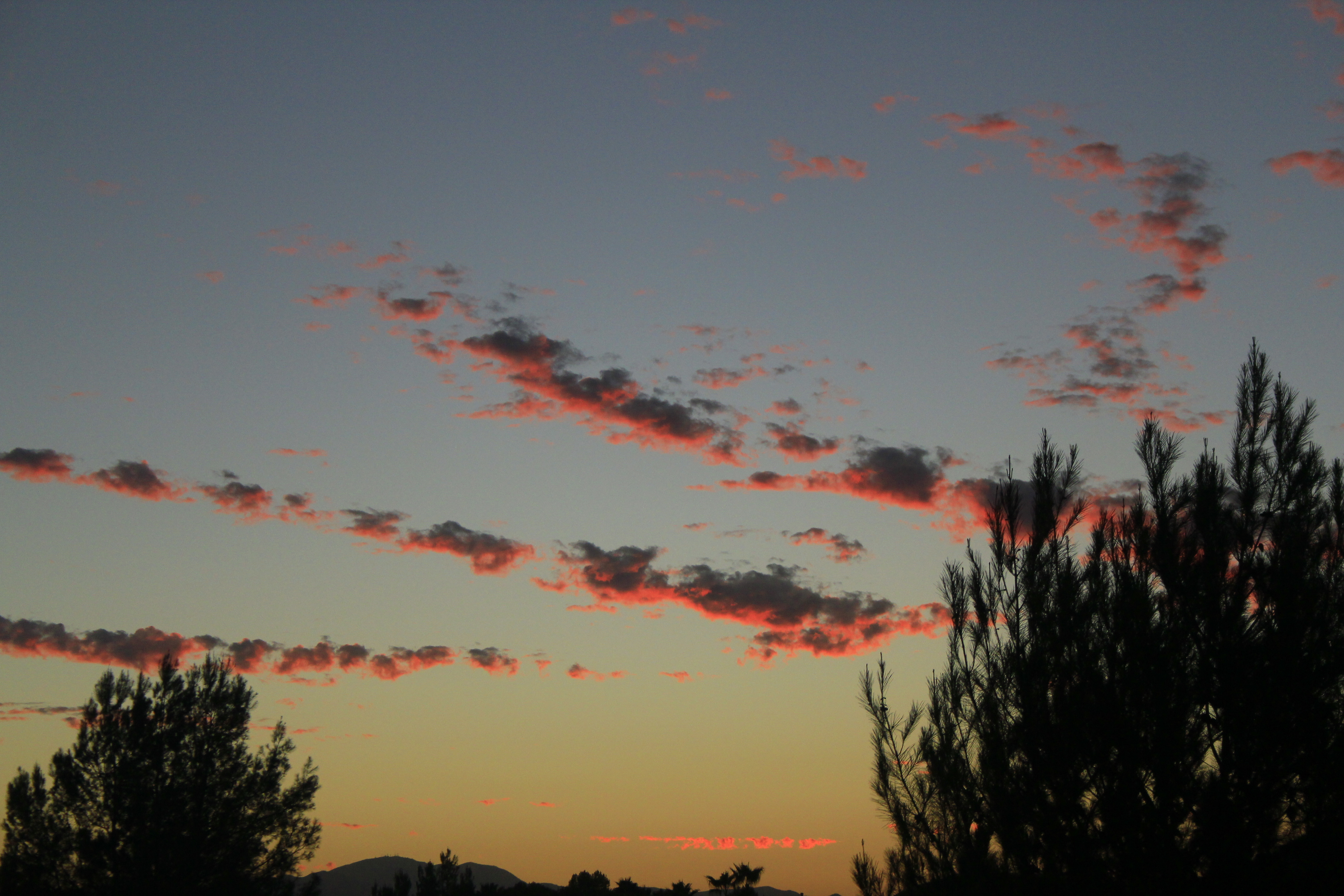
February Sky

Dreams of Starmen
Lake Elsinore, California

Unidentified Grass Skipper portrait R0182 San Juan Loop Trail, CA PFN

Golden Chandelier
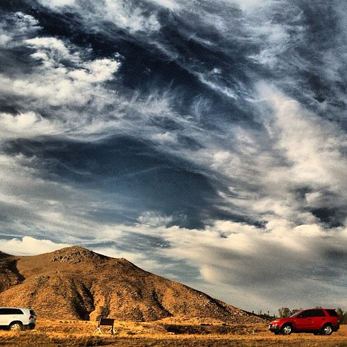
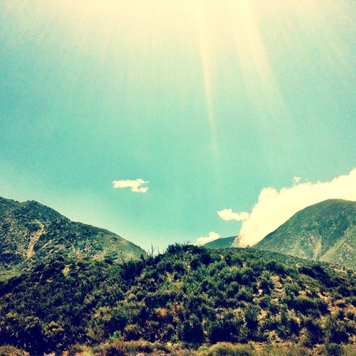
mountain view

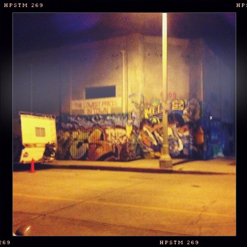
Before Starbacks, After Starbucks
The #drive to work. #cumulusclouds

another view of the water dropping plane
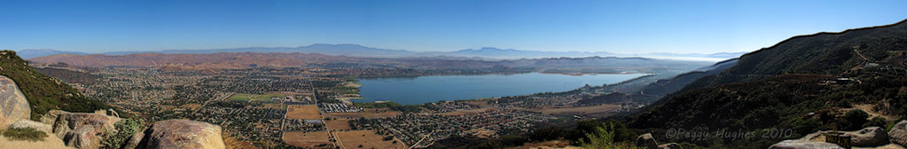
Lake Elsinore
Another backyard view

Clouds I
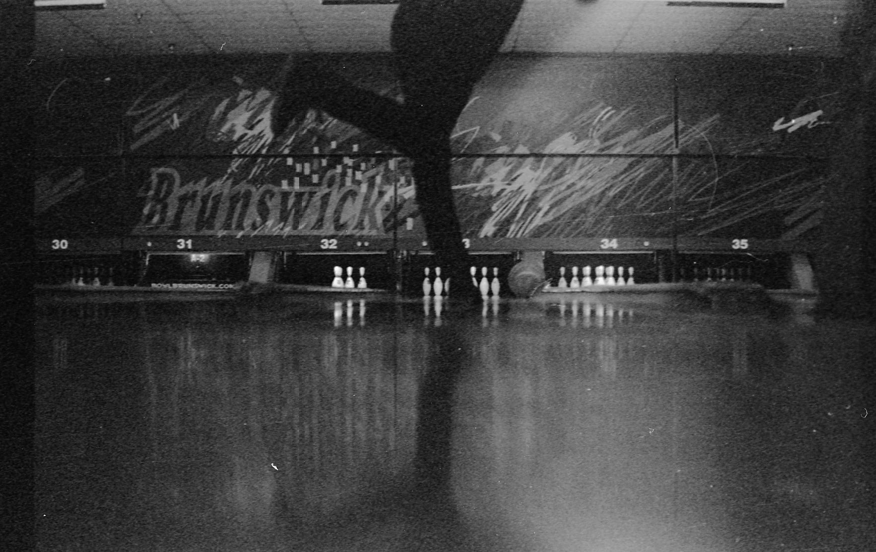
Bowling view
"All was golden when the day met the night"

Fog shrouded Oak Tree
Springtime, Santa Rosa Plateau
Lupines by the lake.

Santa Rosa Plateau Vernal Pool (Explored)
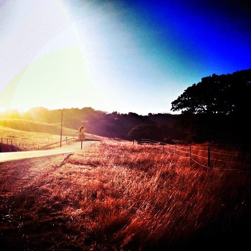
The Long and Winding Road
#california #trip #temecula

To the place I belong, Project 365: 75/365
December 1, 2004 010

#iphone4 #iphoneography #iphoneonly #california #hipstamatic #joshuatree #nationalpark
And some more #cloudporn

Santa Rosa 263

Power Lines at 70 MPH
#santarosaplateau #california #california_igers #snapseed #jj

Menifee Lakes Golf Course

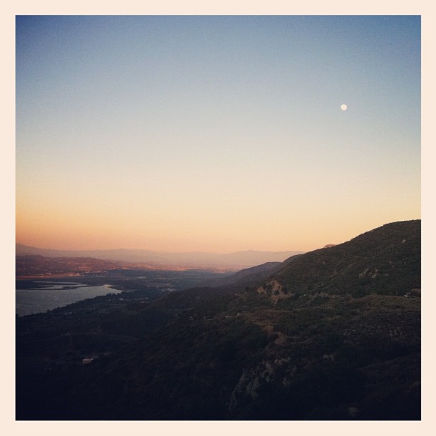
#home #lake #country @cityoflakeelsinore
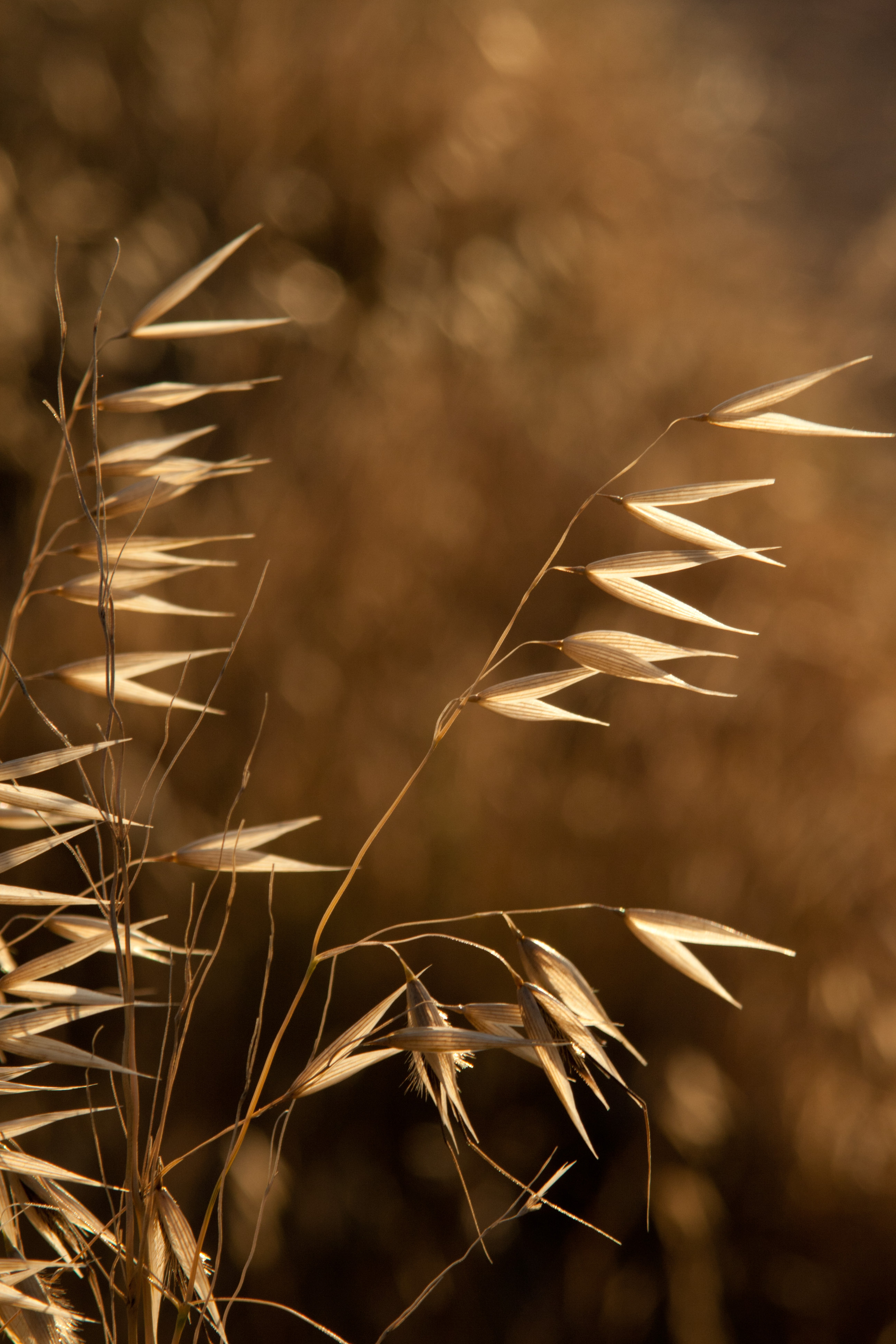
Blowing in the Wind
#iphoneonly #iphone4 #iphoneography #hipstamatic
90184497_2303120121228-1347-1gx3wm6
Topographic Map of Kuka Cir, Wildomar, CA, USA
Find elevation by address:

Places near Kuka Cir, Wildomar, CA, USA:
32092 Rock Elm Dr
Wildomar
32690 Blue Mist Way
42695 Mountain Shadow Rd
Bundy Canyon Road
33221 Windtree Ave
Sedco Hills
34720 The Farm Rd
33990 Green Bean Ln
23429 Saratoga Springs Pl
24538 Silo Cir
36690 Calle De Lobo
Wildomar Rd, Lake Elsinore, CA, USA
31937 Gladiola Ct
23638 Wooden Horse Trail
24330 Manzanita Rd
24821 Garbani Rd
26525 Horsetail St
36316 Bladen Ave
33194 Helen Ln
Recent Searches:
- Elevation of Corso Fratelli Cairoli, 35, Macerata MC, Italy
- Elevation of Tallevast Rd, Sarasota, FL, USA
- Elevation of 4th St E, Sonoma, CA, USA
- Elevation of Black Hollow Rd, Pennsdale, PA, USA
- Elevation of Oakland Ave, Williamsport, PA, USA
- Elevation of Pedrógão Grande, Portugal
- Elevation of Klee Dr, Martinsburg, WV, USA
- Elevation of Via Roma, Pieranica CR, Italy
- Elevation of Tavkvetili Mountain, Georgia
- Elevation of Hartfords Bluff Cir, Mt Pleasant, SC, USA