Elevation of Kotoura, Tohaku District, Tottori Prefecture, Japan
Location: Japan > Tottori Prefecture > Tohaku District >
Longitude: 133.693278
Latitude: 35.495398
Elevation: 25m / 82feet
Barometric Pressure: 101KPa
Elevation Map:
Satellite Map:
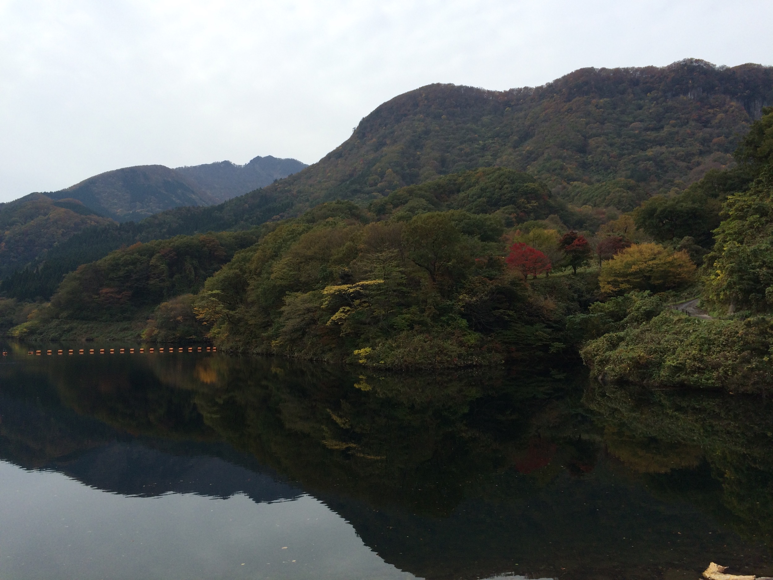
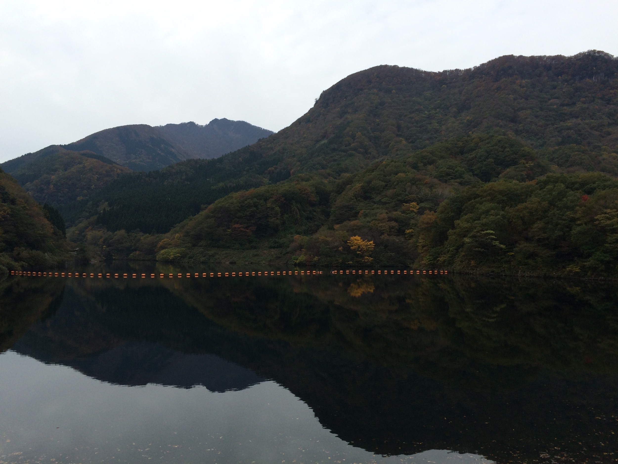
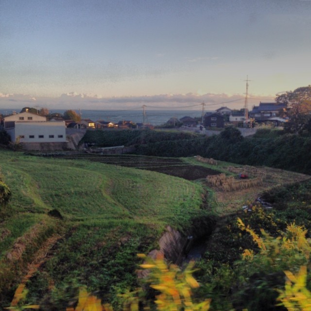
Related Photos:
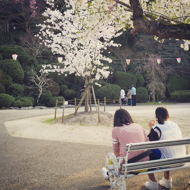
Spring View #倉吉 #打吹公園

石がカラカラ鳴る浜辺で♪( ´▽`)

これが超ノマドワークスタイル

Non titled.
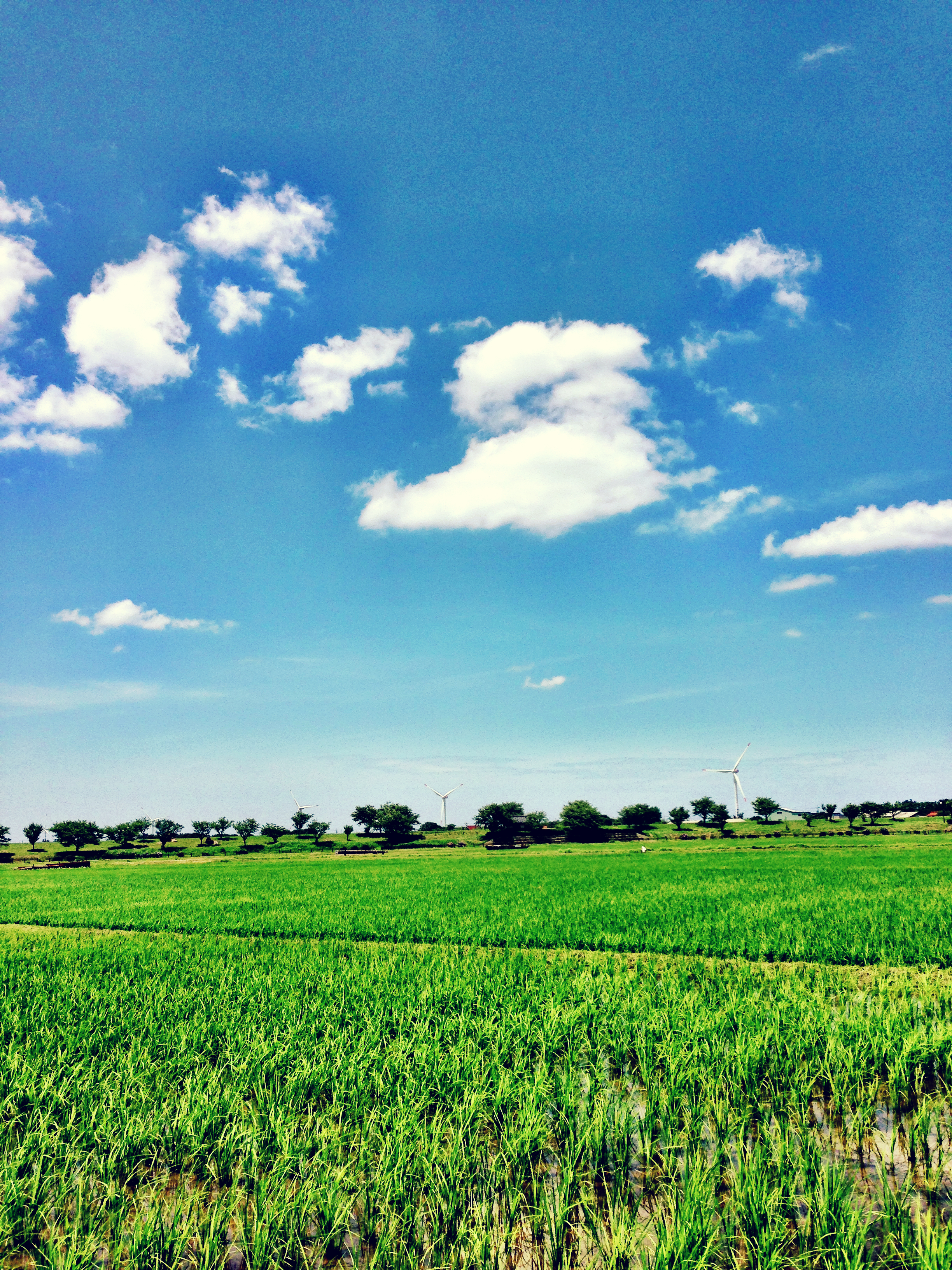
Blue and Green
すべての写真-6752
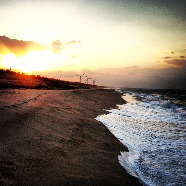
潮の満ち具合が時間の経過を教えてくれます。超ノマド万歳!って日本海寒っっ!!

201510 - Japon - 0051.jpg
すべての写真-6745

おはようございます!Good morning! Bonjour!

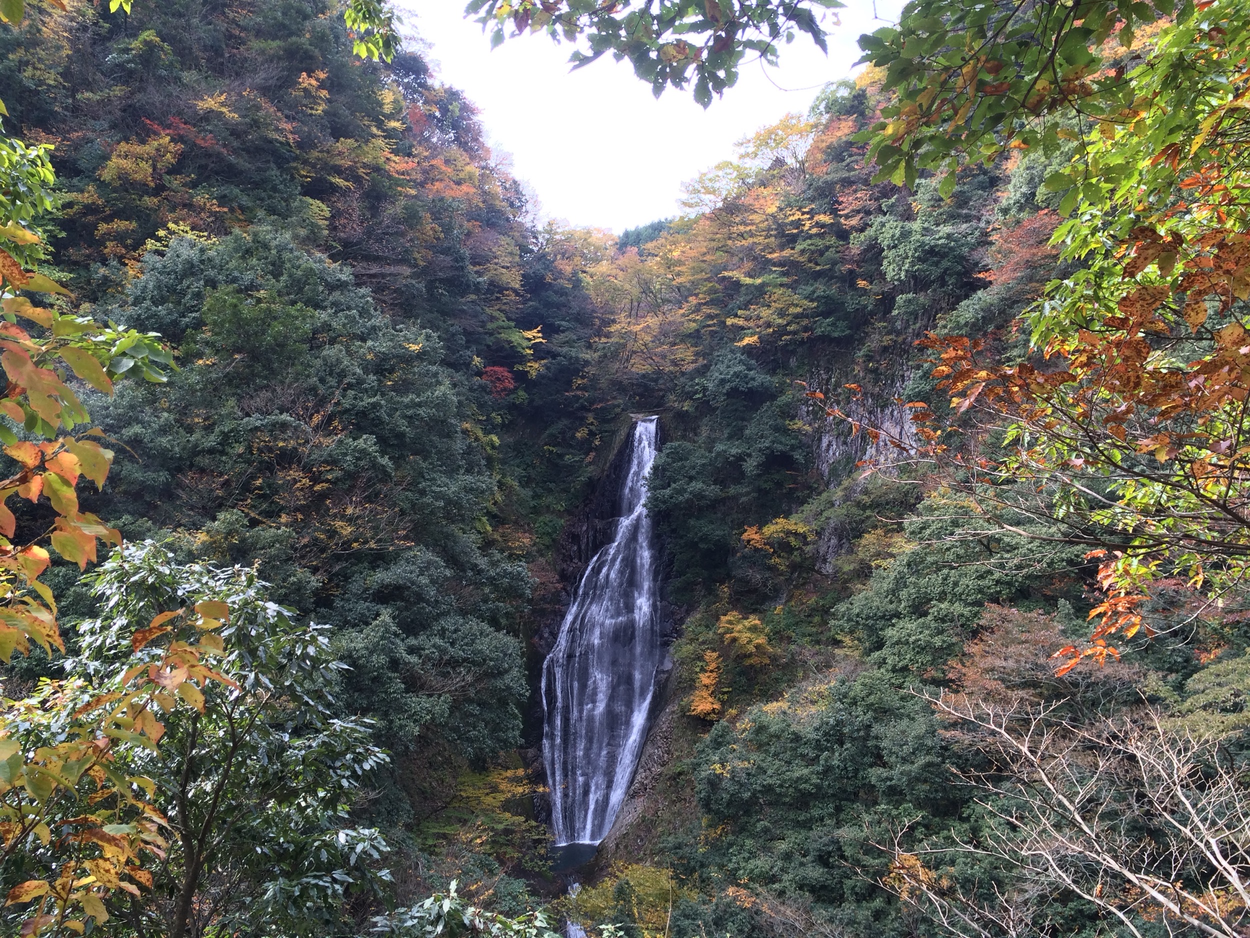
今日のフィッシャーマン

201510 - Japon - 0041.jpg
すべての写真-6742

すべての写真-54
Clear blue sky this morning... I must be tired because this morning I first sat on the train going the opposite way... Realized my mistake just 1 minute before the train to go... #girigirisafe
Topographic Map of Kotoura, Tohaku District, Tottori Prefecture, Japan
Find elevation by address:

Places in Kotoura, Tohaku District, Tottori Prefecture, Japan:
Places near Kotoura, Tohaku District, Tottori Prefecture, Japan:
Urayasu, Kotoura-chō, Tōhaku-gun, Tottori-ken -, Japan
Akasaki, Kotoura-chō, Tōhaku-gun, Tottori-ken -, Japan
Tohaku District
722 Aoimachi
Kurayoshi
倉吉市役所本庁舎
1 Chome- Ageichō, Kurayoshi-shi, Tottori-ken -, Japan
Yurihama
Hiruzen
三朝町総合文化ホール
999 Ōze
Misasa
Hiruzenkaminagata, Maniwa-shi, Okayama-ken -, Japan
Fujitsu, Yurihama-chō, Tōhaku-gun, Tottori-ken -, Japan
Hiruzentomiyamane
Tsuga, Misasa-chō, Tōhaku-gun, Tottori-ken -, Japan
1 Ōze, Misasa-chō, Tōhaku-gun, Tottori-ken -, Japan
-6 Tomari, Yurihama-chō, Tōhaku-gun, Tottori-ken -, Japan
Aoyachō Nagawase, Tottori-shi, Tottori-ken -, Japan
Aoyachō Ide, Tottori-shi, Tottori-ken -, Japan
Recent Searches:
- Elevation of Corso Fratelli Cairoli, 35, Macerata MC, Italy
- Elevation of Tallevast Rd, Sarasota, FL, USA
- Elevation of 4th St E, Sonoma, CA, USA
- Elevation of Black Hollow Rd, Pennsdale, PA, USA
- Elevation of Oakland Ave, Williamsport, PA, USA
- Elevation of Pedrógão Grande, Portugal
- Elevation of Klee Dr, Martinsburg, WV, USA
- Elevation of Via Roma, Pieranica CR, Italy
- Elevation of Tavkvetili Mountain, Georgia
- Elevation of Hartfords Bluff Cir, Mt Pleasant, SC, USA