Elevation map of Tottori Prefecture, Japan
Location: Japan >
Longitude: 134.237735
Latitude: 35.5038906
Elevation: 5m / 16feet
Barometric Pressure: 101KPa
Elevation Map:
Satellite Map:
Related Photos:

Tottori shapes 03

ND filter test
On this day in 2009

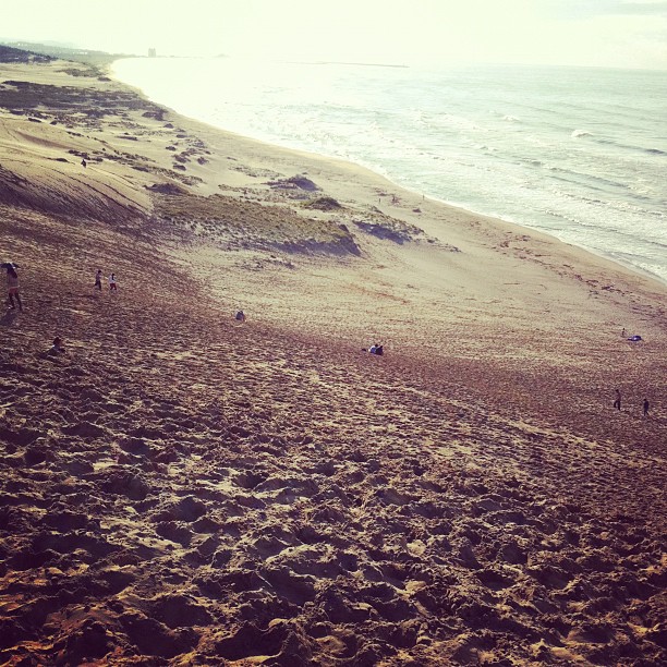
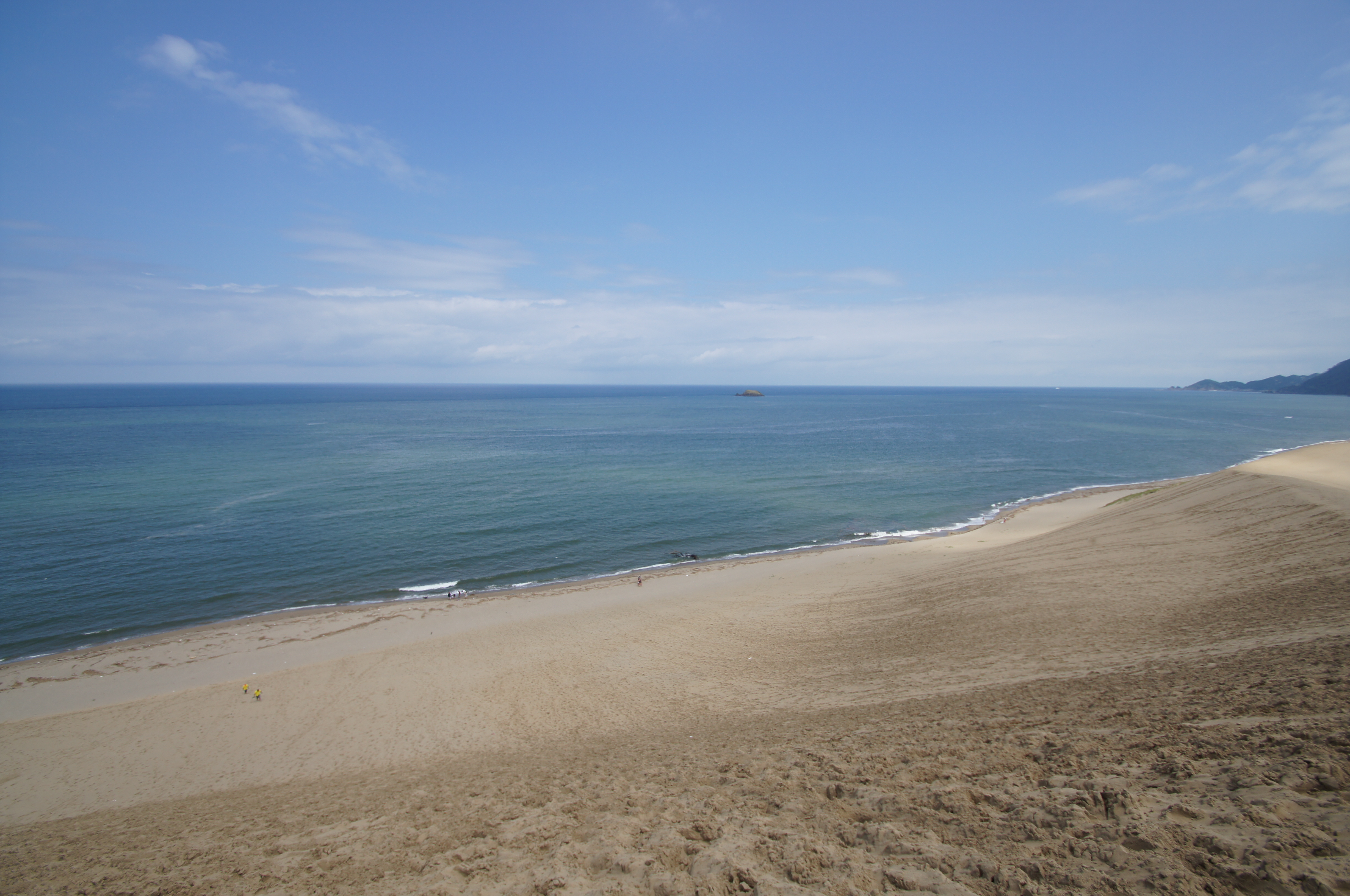
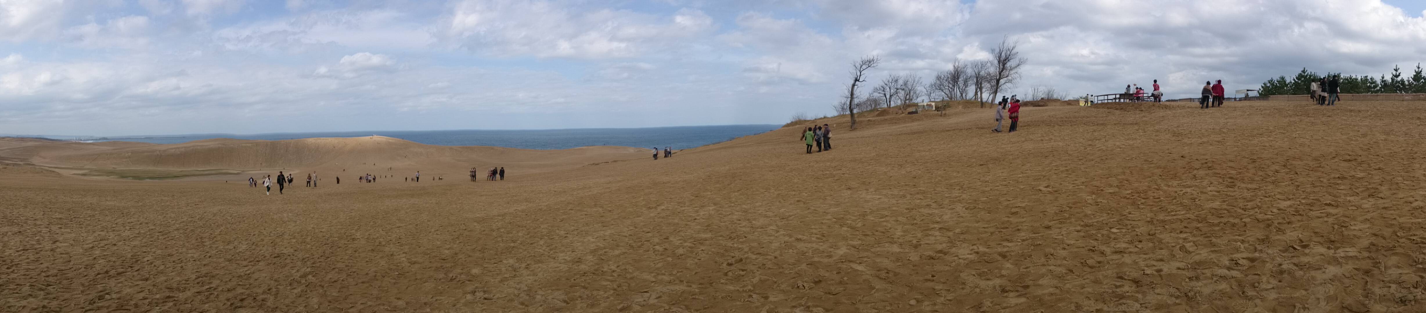
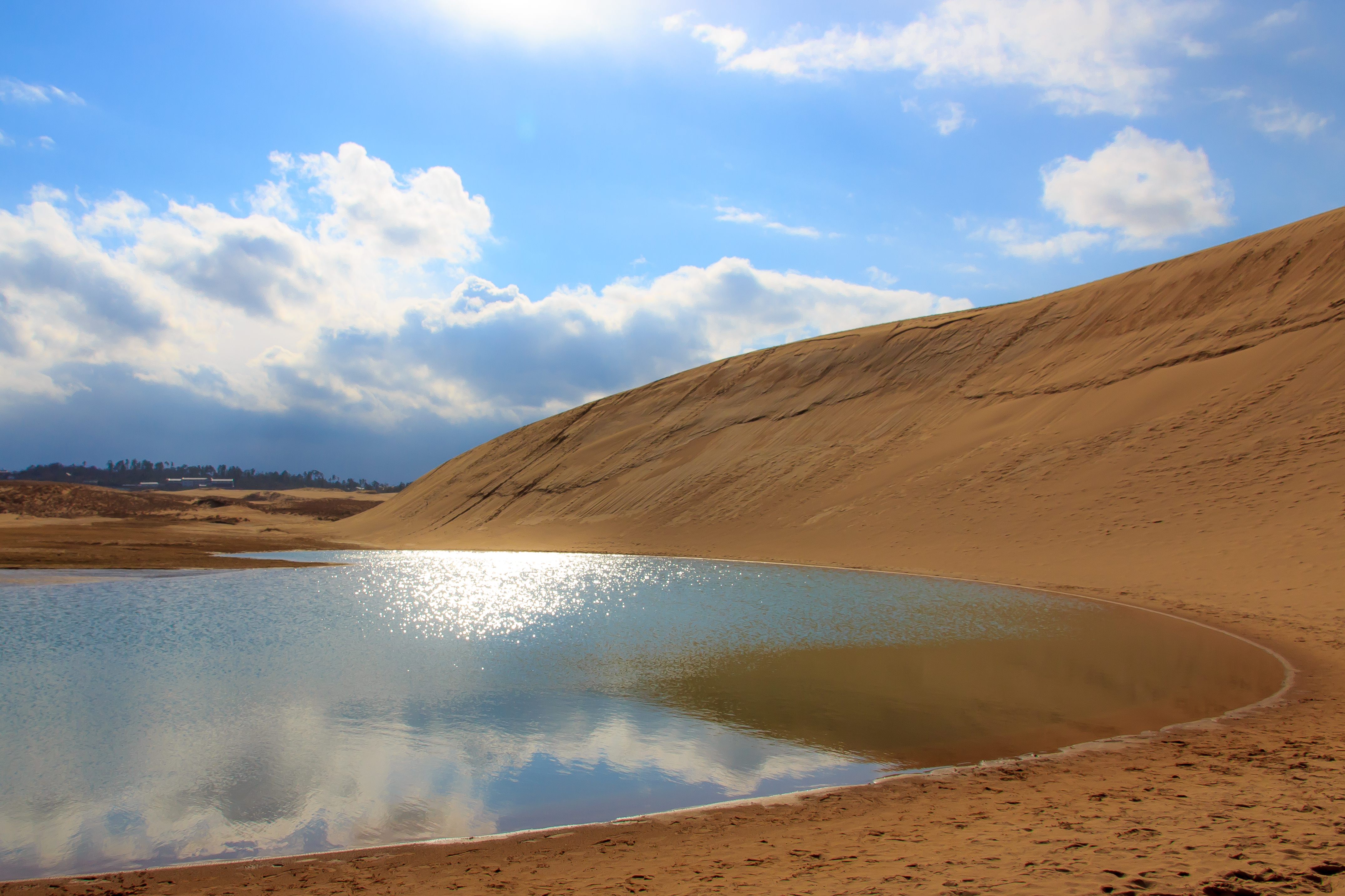
Tottori Sand Dunes
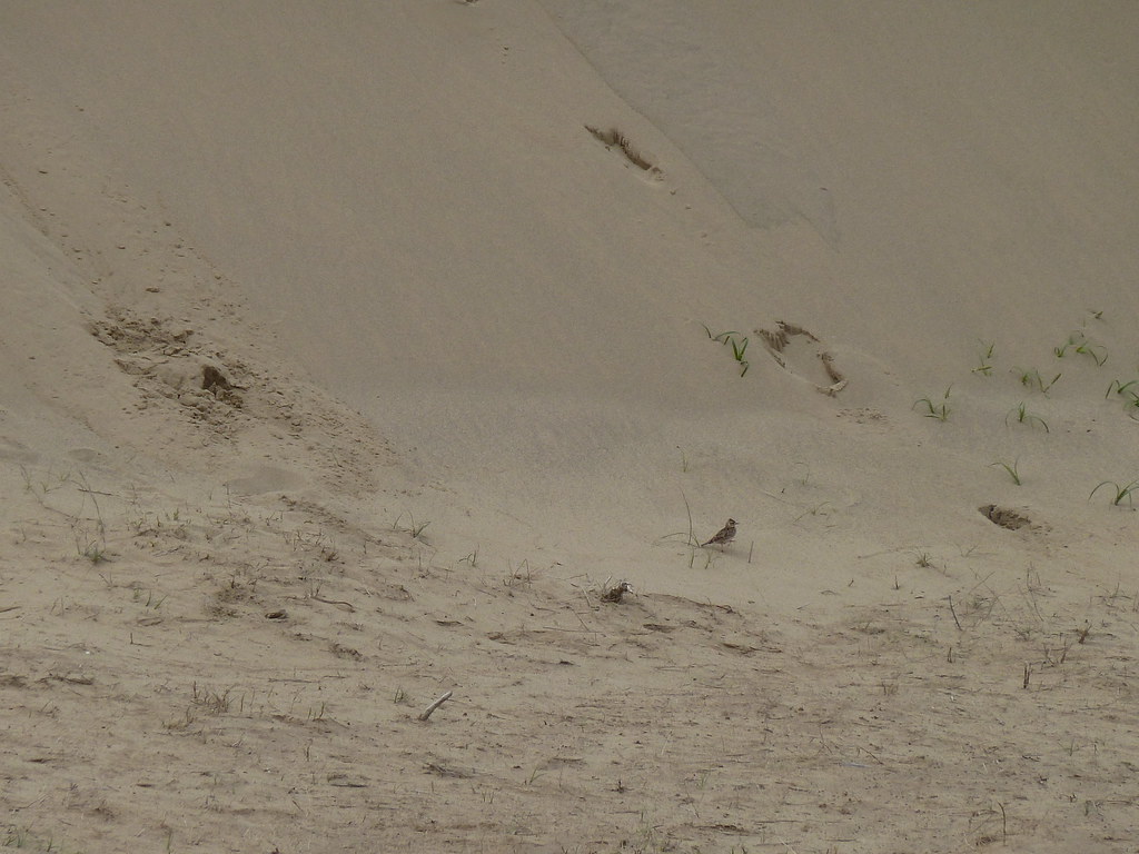
Closer view of a skylark (P1010253)
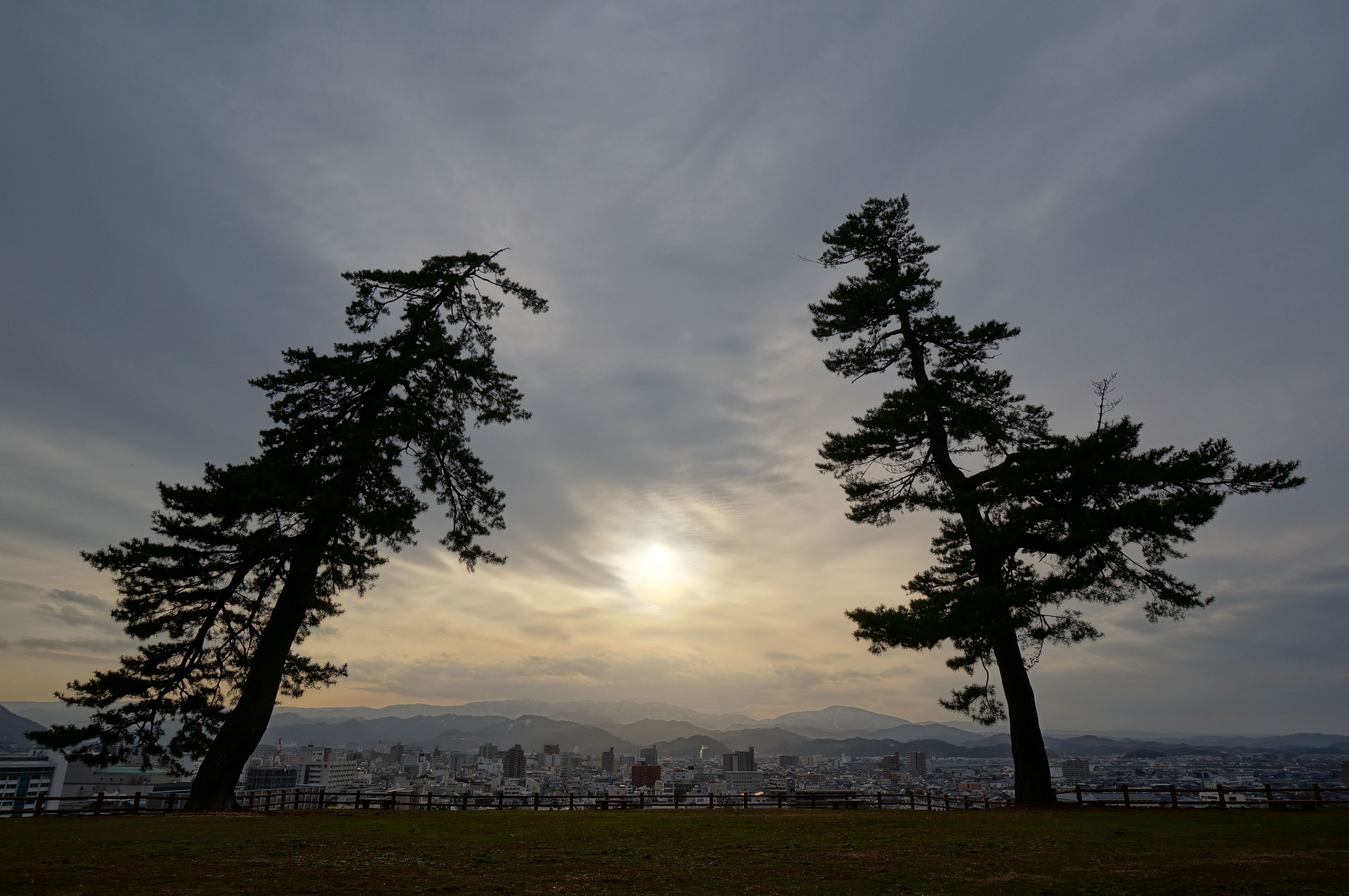
Tottori Castle 2 - 鳥取城跡の夕景
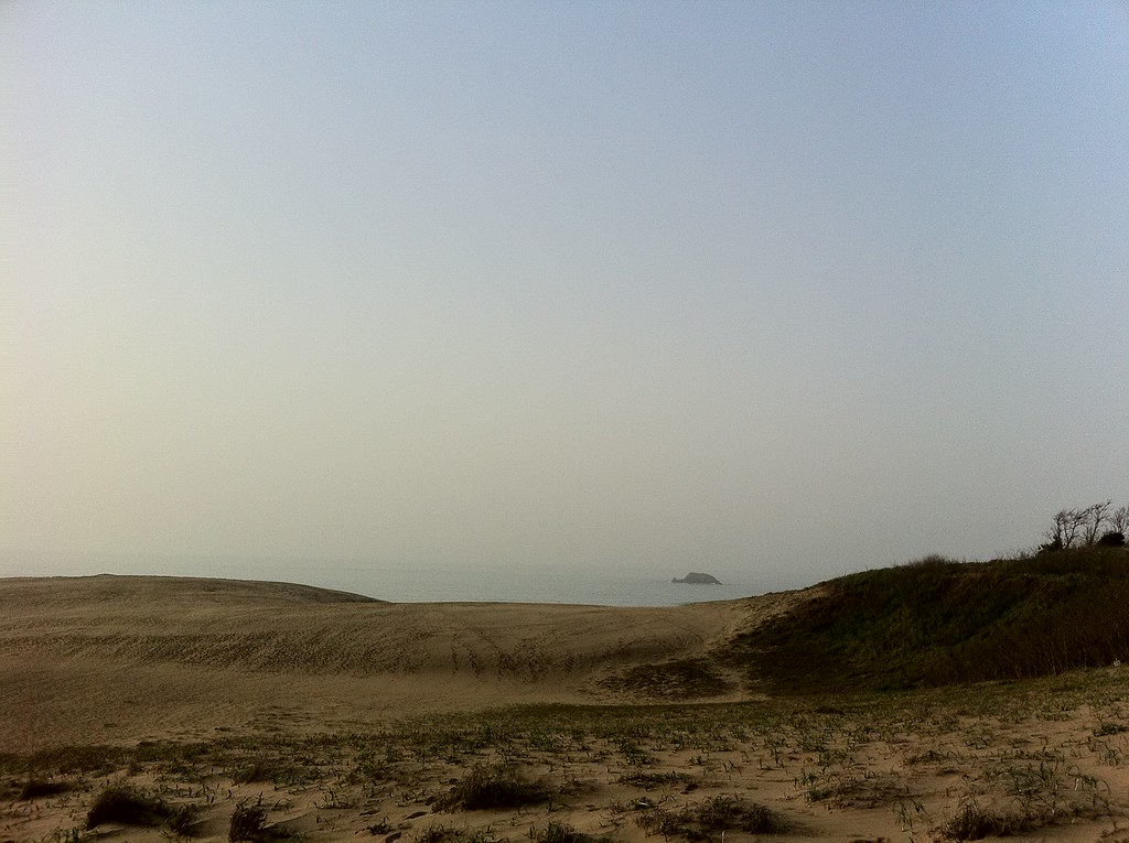
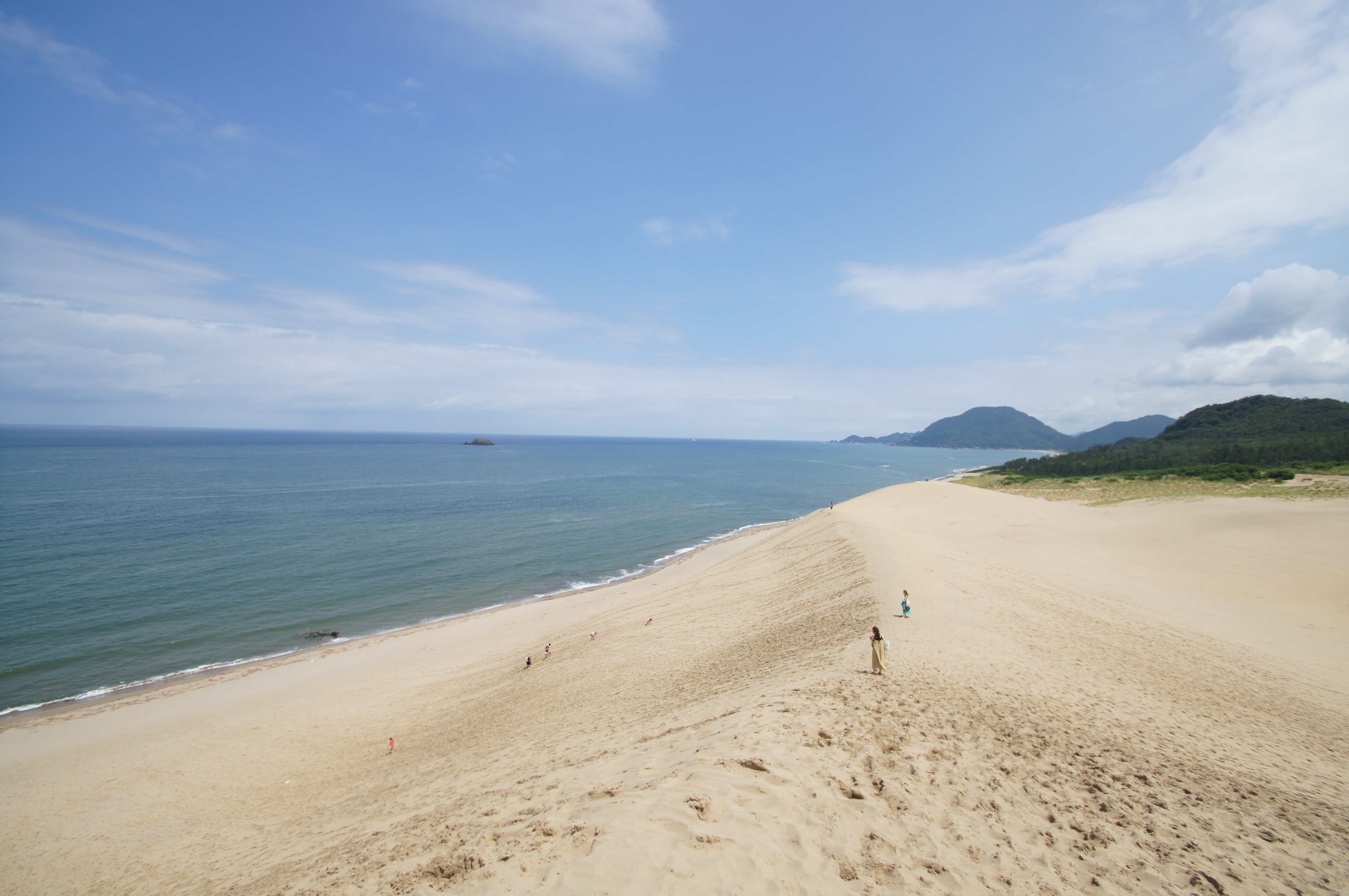
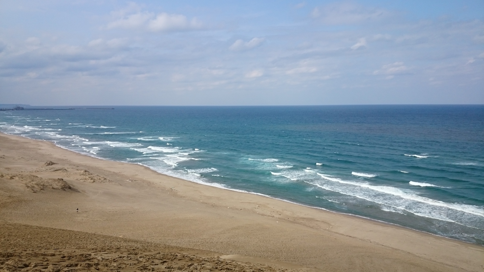
View out to sea at Tottori
view from 馬の背
view from the Bone of horse
view from the Bone of horse
Ripples (P1010238)
view from the Bone of horse
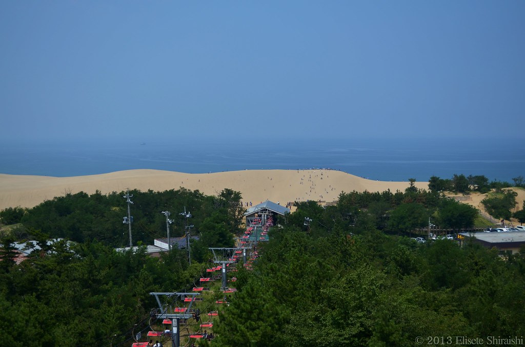
Teleférico em Tottori

鳥取砂丘 とっとりさきゅう

グライダー

Tottori Sand Dunes

Ame daki

すなすなー!

goldenrod in golden light
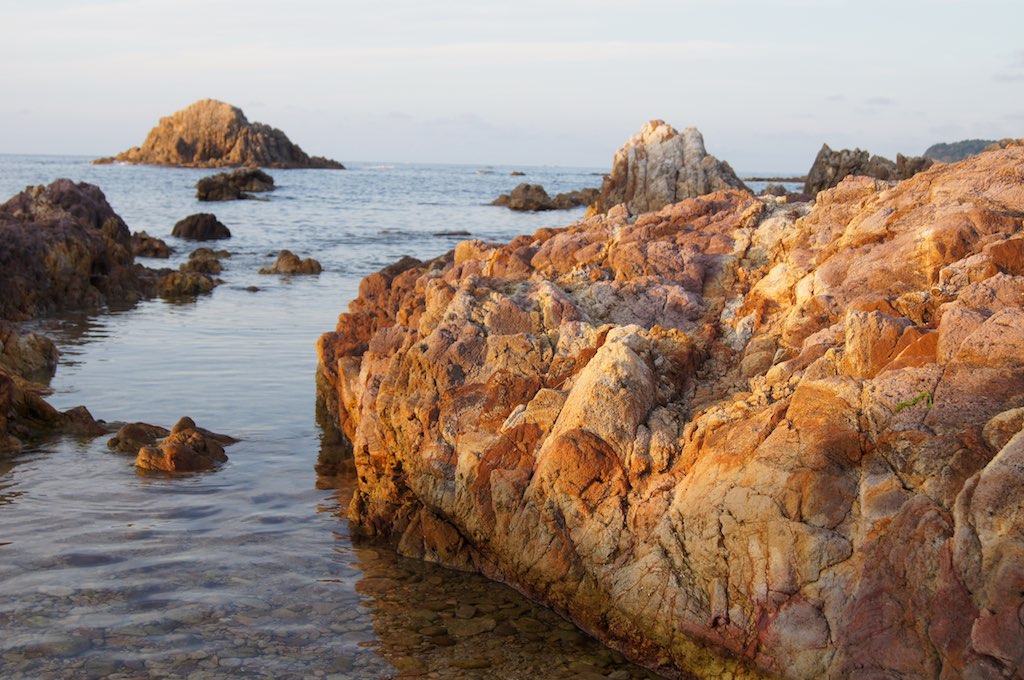
rock at sunset
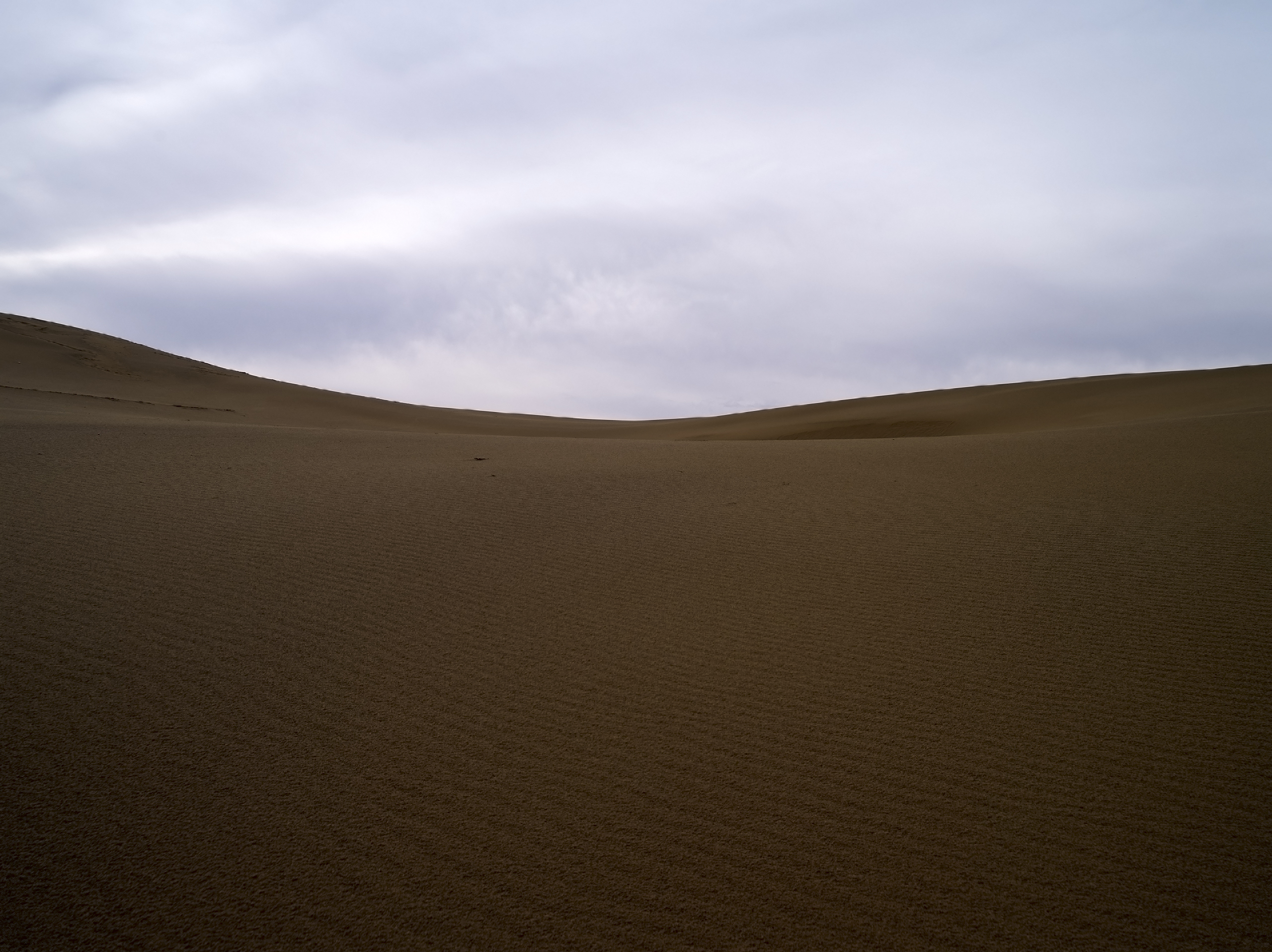
Tottori Sand Dunes
鳥取砂丘 とっとりさきゅう

tunnel wall

1-16
鳥取砂丘 とっとりさきゅう

日本海いぇああああああ! - I've finally arrive to Japan Sea, by bike!

canada goldenrod

pair tree

輝く稲穂
Tottori Sand Dunes

R0010300.JPG

bamboo fence

鳥取砂丘
Topographic Map of Tottori Prefecture, Japan
Find elevation by address:

Places in Tottori Prefecture, Japan:
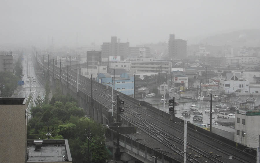
Tottori
Yazu District
Saihaku District
Tohaku District
Hino District
Kurayoshi
Yonago
-4 Iwamoto, Iwami-chō, Iwami-gun, Tottori-ken -, Japan
-1 Tonoechō, Sakaiminato-shi, Tottori-ken -, Japan
Places near Tottori Prefecture, Japan:
Tottori
Minamimachi, Tottori-shi, Tottori-ken -, Japan
50 Tenjinchō, Tottori-shi, Tottori-ken -, Japan
58-9 Yoshinari, Tottori-shi, Tottori-ken -, Japan
2 Chome- Kokufuchō Shindōri, Tottori-shi, Tottori-ken -, Japan
-17 Sugizaki, Tottori-shi, Tottori-ken -, Japan
Kawaharachō Inatsune, Tottori-shi, Tottori-ken -, Japan
Yazu
八頭町役場
493 Kōge
Kawaharachō Ayugaoka, Tottori-shi, Tottori-ken -, Japan
JA鳥取いなば
350-21 Kawaharachō Watarihitotsugi
Kawaharachō Yamate, Tottori-shi, Tottori-ken -, Japan
Kawaharachō Mitani, Tottori-shi, Tottori-ken -, Japan
Kawaharachō Hiketa, Tottori-shi, Tottori-ken -, Japan
Kawaharachō Tenjinbara, Tottori-shi, Tottori-ken -, Japan
Kawaharachō Kamakuchi, Tottori-shi, Tottori-ken -, Japan
Kawaharachō Mizune, Tottori-shi, Tottori-ken -, Japan
72 Kawaharachō Honga, Tottori-shi, Tottori-ken -, Japan
Recent Searches:
- Elevation of Corso Fratelli Cairoli, 35, Macerata MC, Italy
- Elevation of Tallevast Rd, Sarasota, FL, USA
- Elevation of 4th St E, Sonoma, CA, USA
- Elevation of Black Hollow Rd, Pennsdale, PA, USA
- Elevation of Oakland Ave, Williamsport, PA, USA
- Elevation of Pedrógão Grande, Portugal
- Elevation of Klee Dr, Martinsburg, WV, USA
- Elevation of Via Roma, Pieranica CR, Italy
- Elevation of Tavkvetili Mountain, Georgia
- Elevation of Hartfords Bluff Cir, Mt Pleasant, SC, USA