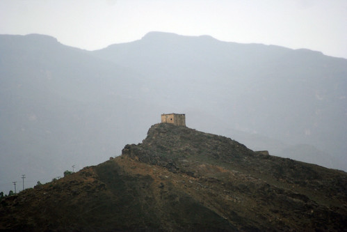
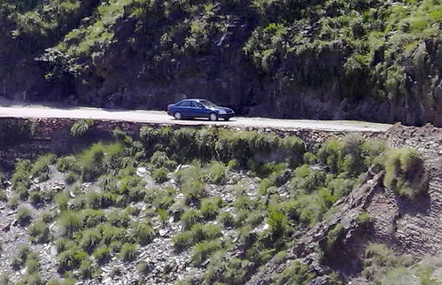
Elevation of Kot, Malakand, Khyber Pakhtunkhwa, Pakistan
Location: Pakistan > Khyber Pakhtunkhwa > Malakand > Swat Ranizai >
Longitude: 71.7177611
Latitude: 34.4931412
Elevation: -10000m / -32808feet
Barometric Pressure: 295KPa
Related Photos:
Topographic Map of Kot, Malakand, Khyber Pakhtunkhwa, Pakistan
Find elevation by address:

Places near Kot, Malakand, Khyber Pakhtunkhwa, Pakistan:
Prang Ghar
Mohmand Dam
Mazid Khel
Charsadda District
Khar
Bajaur
Khar
Bajaur
Shabqadar
Bajaur Agency
Sardaryab
Mayar Jandool
Salarzai Tehsil
Bai Kor
Mohmand Agency
Govt Primary School Sharifkhana Charmang Bajaur
Mamund
Shaheed Benazir Bhutto Women University
Barkhalozo
City University Of Science And Information Technology
Recent Searches:
- Elevation of Corso Fratelli Cairoli, 35, Macerata MC, Italy
- Elevation of Tallevast Rd, Sarasota, FL, USA
- Elevation of 4th St E, Sonoma, CA, USA
- Elevation of Black Hollow Rd, Pennsdale, PA, USA
- Elevation of Oakland Ave, Williamsport, PA, USA
- Elevation of Pedrógão Grande, Portugal
- Elevation of Klee Dr, Martinsburg, WV, USA
- Elevation of Via Roma, Pieranica CR, Italy
- Elevation of Tavkvetili Mountain, Georgia
- Elevation of Hartfords Bluff Cir, Mt Pleasant, SC, USA


