Elevation of Malakand, Pakistan
Location: Pakistan > Khyber Pakhtunkhwa >
Longitude: 71.9045649
Latitude: 34.5030413
Elevation: 454m / 1489feet
Barometric Pressure: 96KPa
Elevation Map:
Satellite Map:
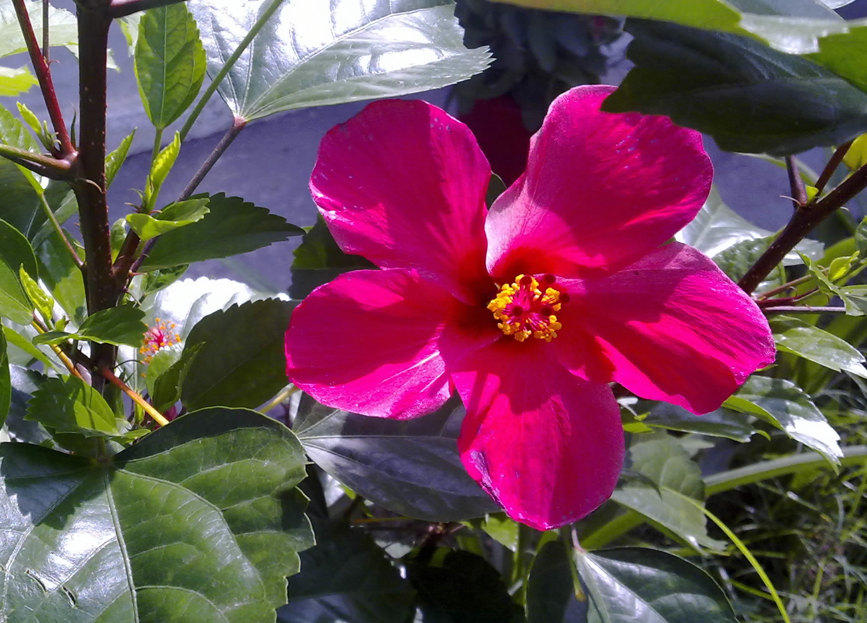
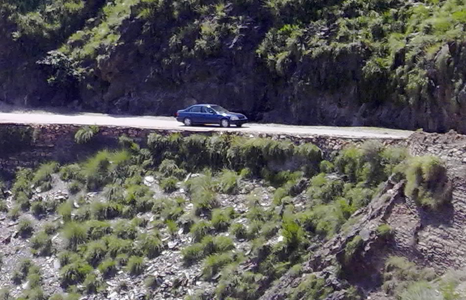
Related Photos:
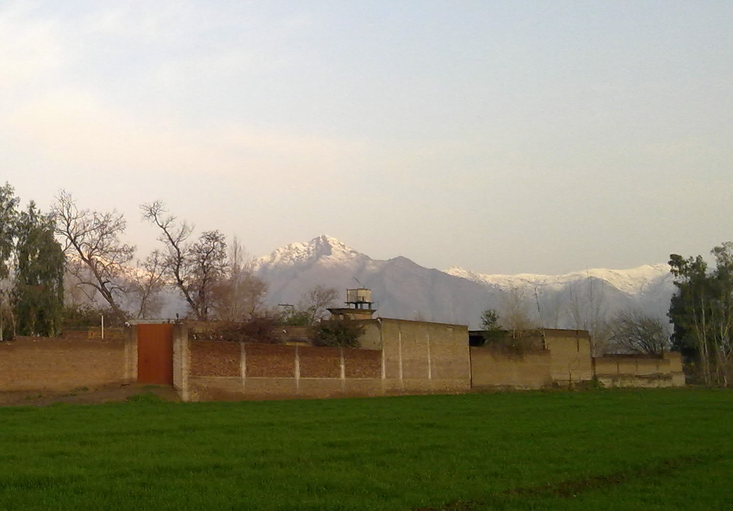
15022010483-001

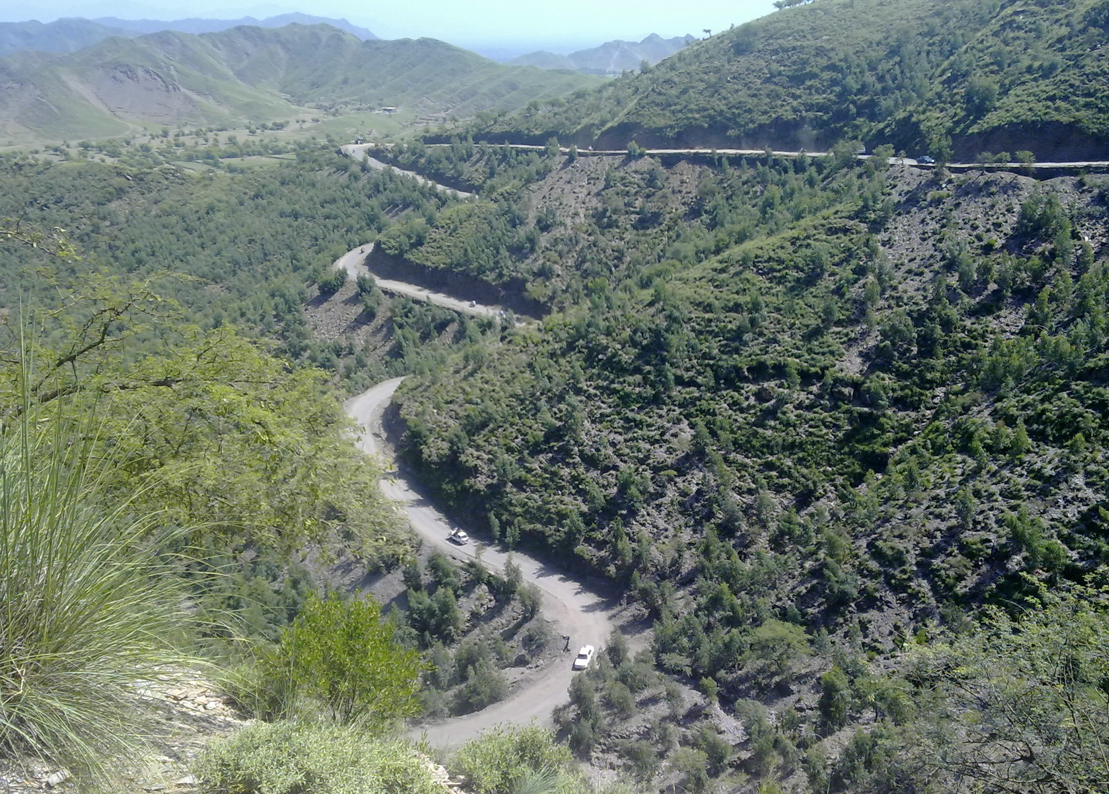
Salman Ali At #Busaaq Totakan, Malakand

#Busaaq #Totakan Malakand, #JUNCTION OF RIVERS

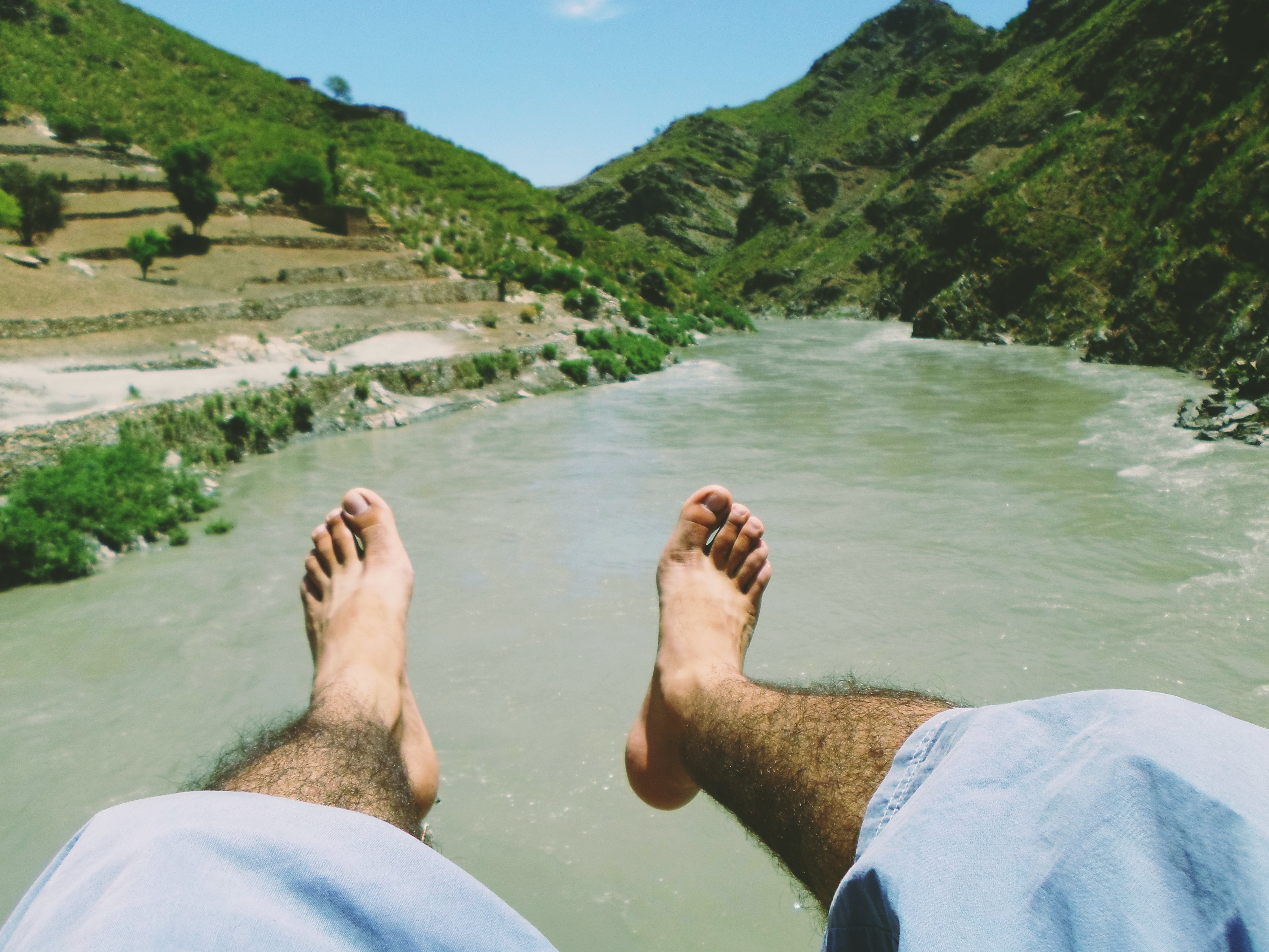
Alone on the top
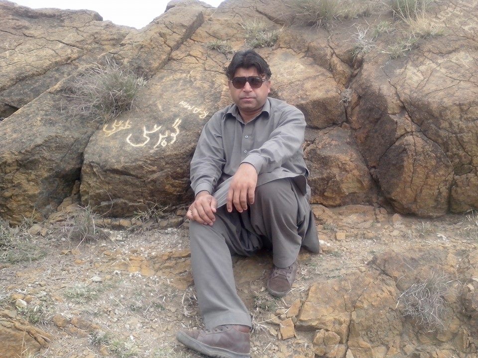
13092010901-001
#Busaaq Totakan, Malakand
Mountain Peak Sakhakot

03012010359-002

191220101358-002
23082010866-001
13092010904-003
Topographic Map of Malakand, Pakistan
Find elevation by address:

Places in Malakand, Pakistan:
Places near Malakand, Pakistan:
Dargai
Batkhela
Swat Ranizai
Takht Bhai
River Swat View Point
Chakdara Fort
Chakdara
Takht Bhai
Takht-i-bahi Buddhist Monastery
Osakai
University Of Malakand
Guli Bagh
Mardan
Babuzai
Timergara
Taj Restaurant Mardan Kpk Pakistan
Mardan Museum
Timergara
Bypass Road
Shaheen Shopping Mall
Recent Searches:
- Elevation of Corso Fratelli Cairoli, 35, Macerata MC, Italy
- Elevation of Tallevast Rd, Sarasota, FL, USA
- Elevation of 4th St E, Sonoma, CA, USA
- Elevation of Black Hollow Rd, Pennsdale, PA, USA
- Elevation of Oakland Ave, Williamsport, PA, USA
- Elevation of Pedrógão Grande, Portugal
- Elevation of Klee Dr, Martinsburg, WV, USA
- Elevation of Via Roma, Pieranica CR, Italy
- Elevation of Tavkvetili Mountain, Georgia
- Elevation of Hartfords Bluff Cir, Mt Pleasant, SC, USA