Elevation map of Korla, Bayingol, Xinjiang, China
Location: Korla > Bayingol >
Longitude: 86.174633
Latitude: 41.725891
Elevation: 934m / 3064feet
Barometric Pressure: 91KPa
Elevation Map:
Satellite Map:
Related Photos:

Korla
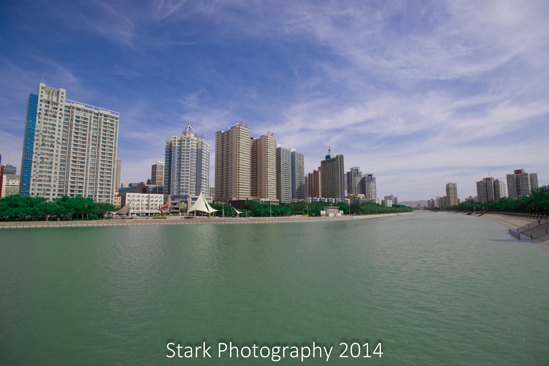
Peacock River at noon

201708191221

201708190921

L1160667

L1160670

L1160660

L1160648

L1160658

L1160657

L1160652

L1160646

L1160645

L1160644

L1160642

IMG_20170825_182124

IMG_20170825_181435

DSC_0700

IMG_20170825_180853

IMG_20170825_180856

DSC_0699

DSC_0698

DSC_0696
Topographic Map of Korla, Bayingol, Xinjiang, China
Find elevation by address:

Places in Korla, Bayingol, Xinjiang, China:
Places near Korla, Bayingol, Xinjiang, China:
Recent Searches:
- Elevation of Corso Fratelli Cairoli, 35, Macerata MC, Italy
- Elevation of Tallevast Rd, Sarasota, FL, USA
- Elevation of 4th St E, Sonoma, CA, USA
- Elevation of Black Hollow Rd, Pennsdale, PA, USA
- Elevation of Oakland Ave, Williamsport, PA, USA
- Elevation of Pedrógão Grande, Portugal
- Elevation of Klee Dr, Martinsburg, WV, USA
- Elevation of Via Roma, Pieranica CR, Italy
- Elevation of Tavkvetili Mountain, Georgia
- Elevation of Hartfords Bluff Cir, Mt Pleasant, SC, USA