Elevation of Kolkhozabad, Tajikistan
Location: Tajikistan > Khatlon Province >
Longitude: 68.5962593
Latitude: 37.5940751
Elevation: 368m / 1207feet
Barometric Pressure: 97KPa
Elevation Map:
Satellite Map:
Related Photos:
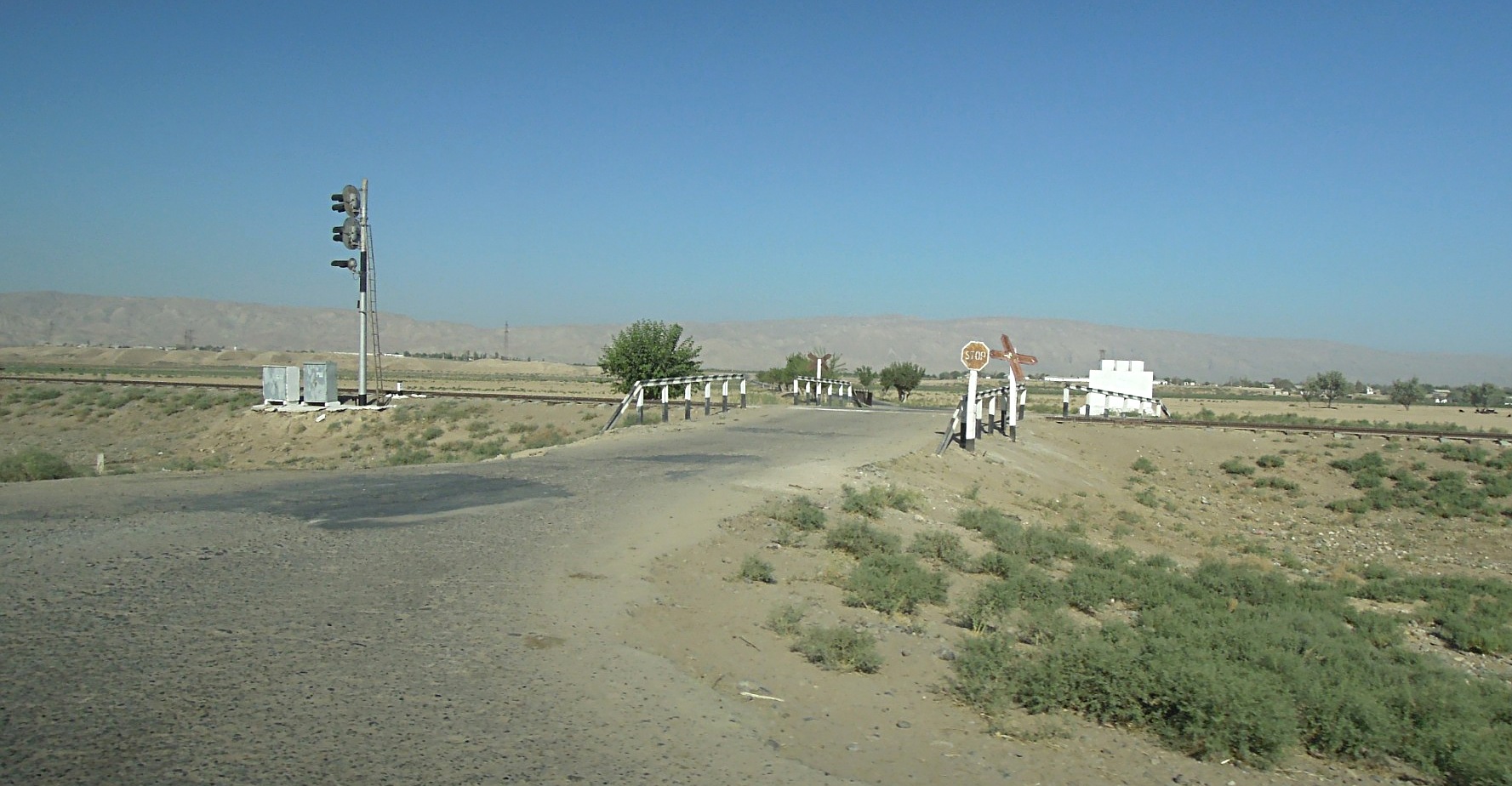
Bahnübergang
Topographic Map of Kolkhozabad, Tajikistan
Find elevation by address:

Places near Kolkhozabad, Tajikistan:
Khatlon District Administration
Qurgonteppa
Shahrtuz
Khurshedi
Kunduz
Kunduz
Kunduz
Surxondaryo Region
Recent Searches:
- Elevation of Corso Fratelli Cairoli, 35, Macerata MC, Italy
- Elevation of Tallevast Rd, Sarasota, FL, USA
- Elevation of 4th St E, Sonoma, CA, USA
- Elevation of Black Hollow Rd, Pennsdale, PA, USA
- Elevation of Oakland Ave, Williamsport, PA, USA
- Elevation of Pedrógão Grande, Portugal
- Elevation of Klee Dr, Martinsburg, WV, USA
- Elevation of Via Roma, Pieranica CR, Italy
- Elevation of Tavkvetili Mountain, Georgia
- Elevation of Hartfords Bluff Cir, Mt Pleasant, SC, USA