Elevation of Khurshedi, Tajikistan
Location: Tajikistan > Khatlon Province >
Longitude: 68.0984268
Latitude: 37.1139889
Elevation: 338m / 1109feet
Barometric Pressure: 97KPa
Elevation Map:
Satellite Map:
Related Photos:

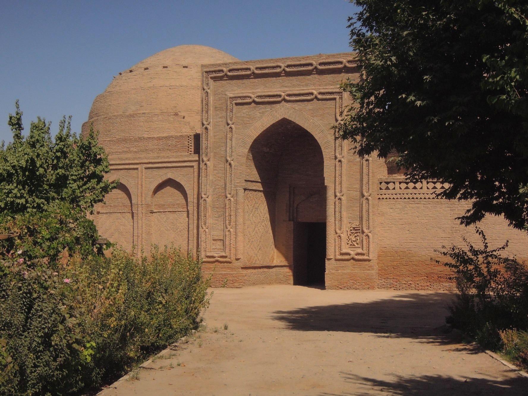
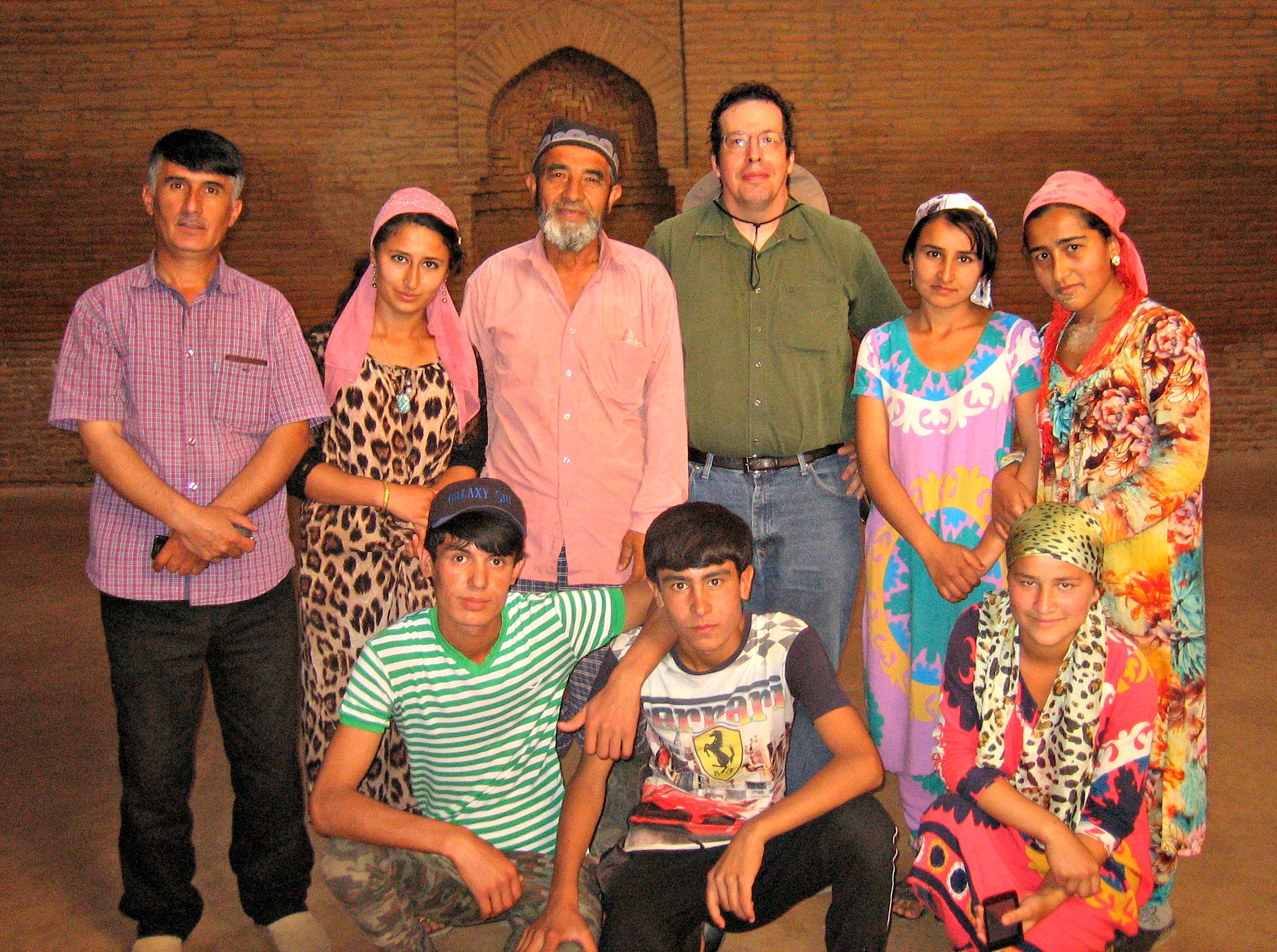
Khoja Mashad

Khoja Mashad

Khoja Mashad

stillgelegte Bahnstrecke
Medrese Chodscha Mesched

Khoja Mashad

Khoja Mashad
Khoja Mashad

Khoja Mashad

Khoja Mashad

Khoja Mashad

Khoja Mashad
Topographic Map of Khurshedi, Tajikistan
Find elevation by address:

Places near Khurshedi, Tajikistan:
Shahrtuz
Kolkhozabad
Kunduz
Kunduz
Kunduz
Surxondaryo Region
Khatlon District Administration
Qurgonteppa
Recent Searches:
- Elevation of Corso Fratelli Cairoli, 35, Macerata MC, Italy
- Elevation of Tallevast Rd, Sarasota, FL, USA
- Elevation of 4th St E, Sonoma, CA, USA
- Elevation of Black Hollow Rd, Pennsdale, PA, USA
- Elevation of Oakland Ave, Williamsport, PA, USA
- Elevation of Pedrógão Grande, Portugal
- Elevation of Klee Dr, Martinsburg, WV, USA
- Elevation of Via Roma, Pieranica CR, Italy
- Elevation of Tavkvetili Mountain, Georgia
- Elevation of Hartfords Bluff Cir, Mt Pleasant, SC, USA