Elevation of Klacking Township, MI, USA
Location: United States > Michigan > Ogemaw County >
Longitude: -84.206799
Latitude: 44.3846948
Elevation: 412m / 1352feet
Barometric Pressure: 96KPa
Elevation Map:
Satellite Map:
Related Photos:

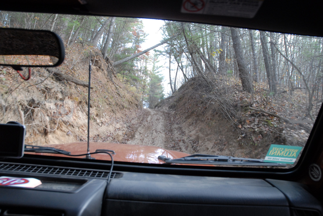
Four Wheeling21
Four Wheeling12
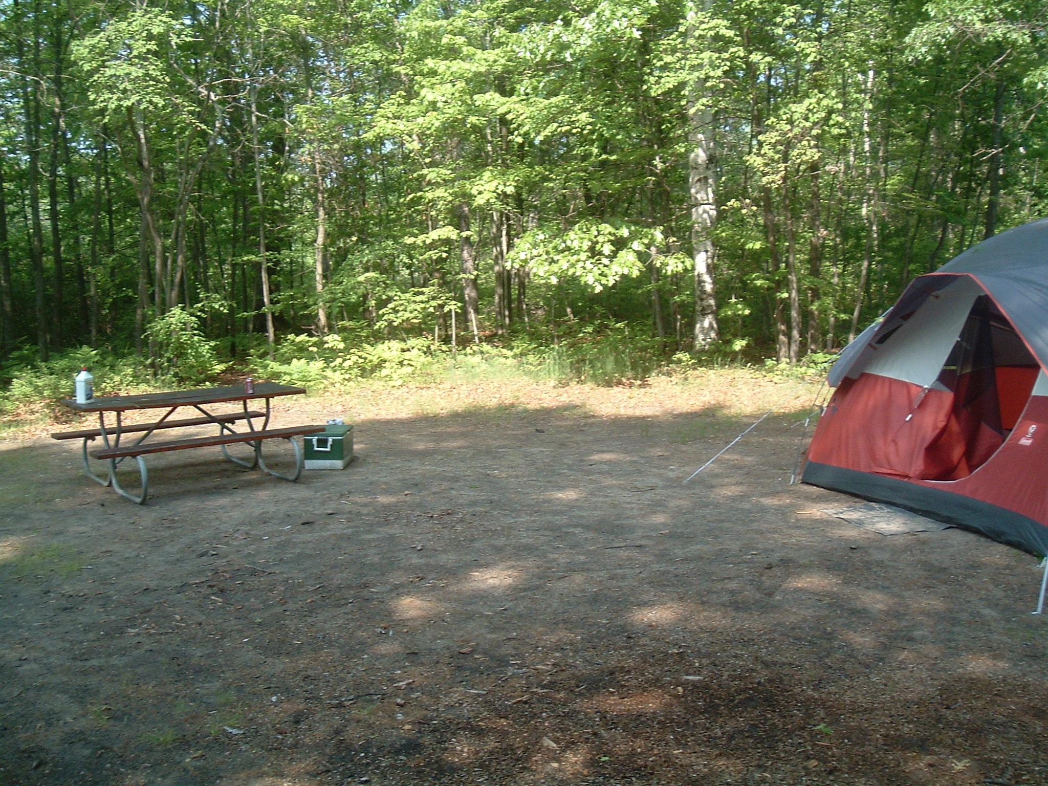
Site 02

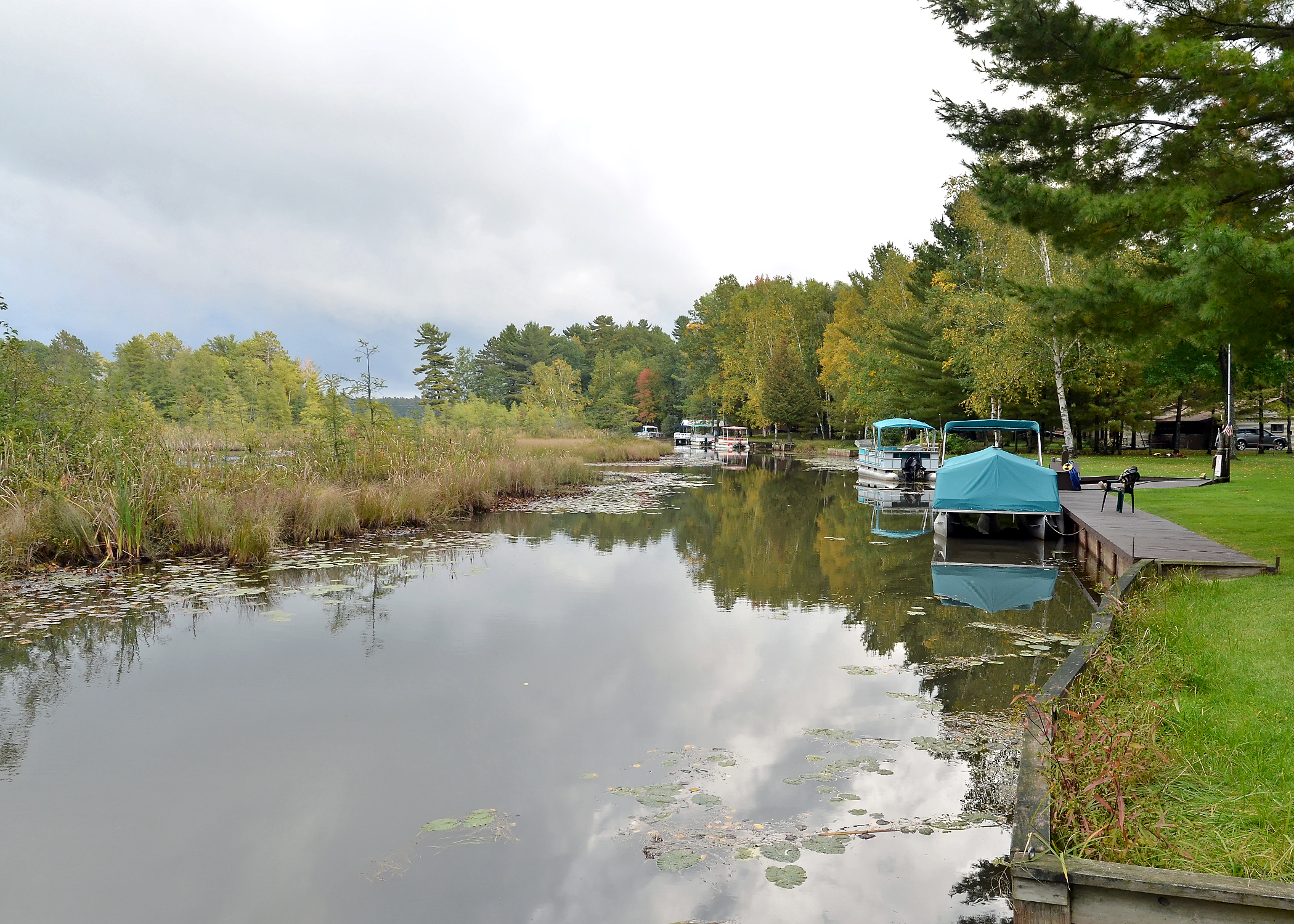
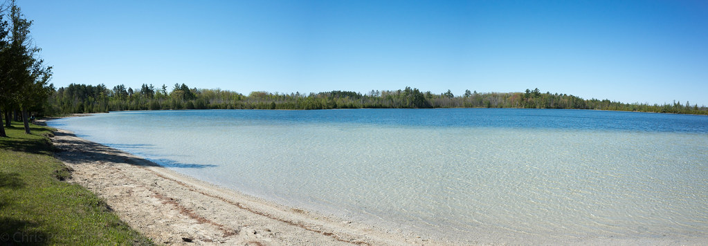
Sunset on Peach Lake, West Branch, MI
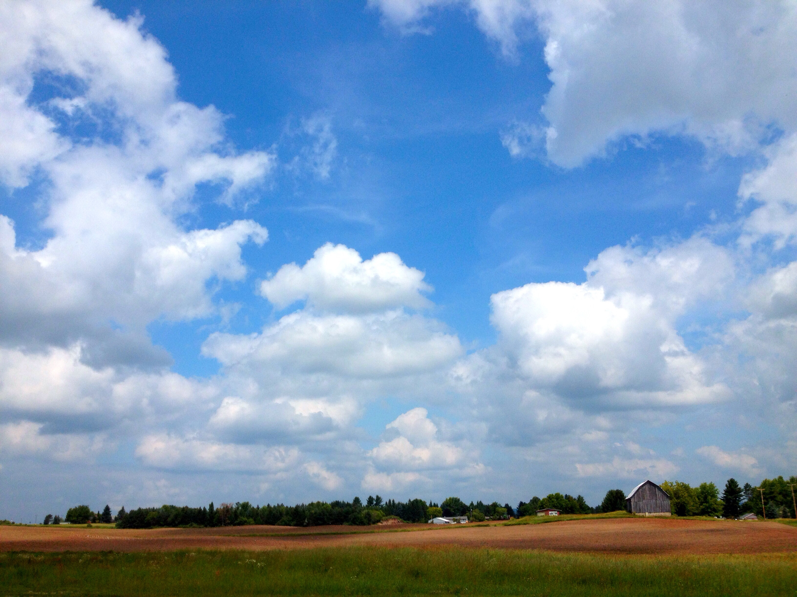
Farm in West Branch, MI
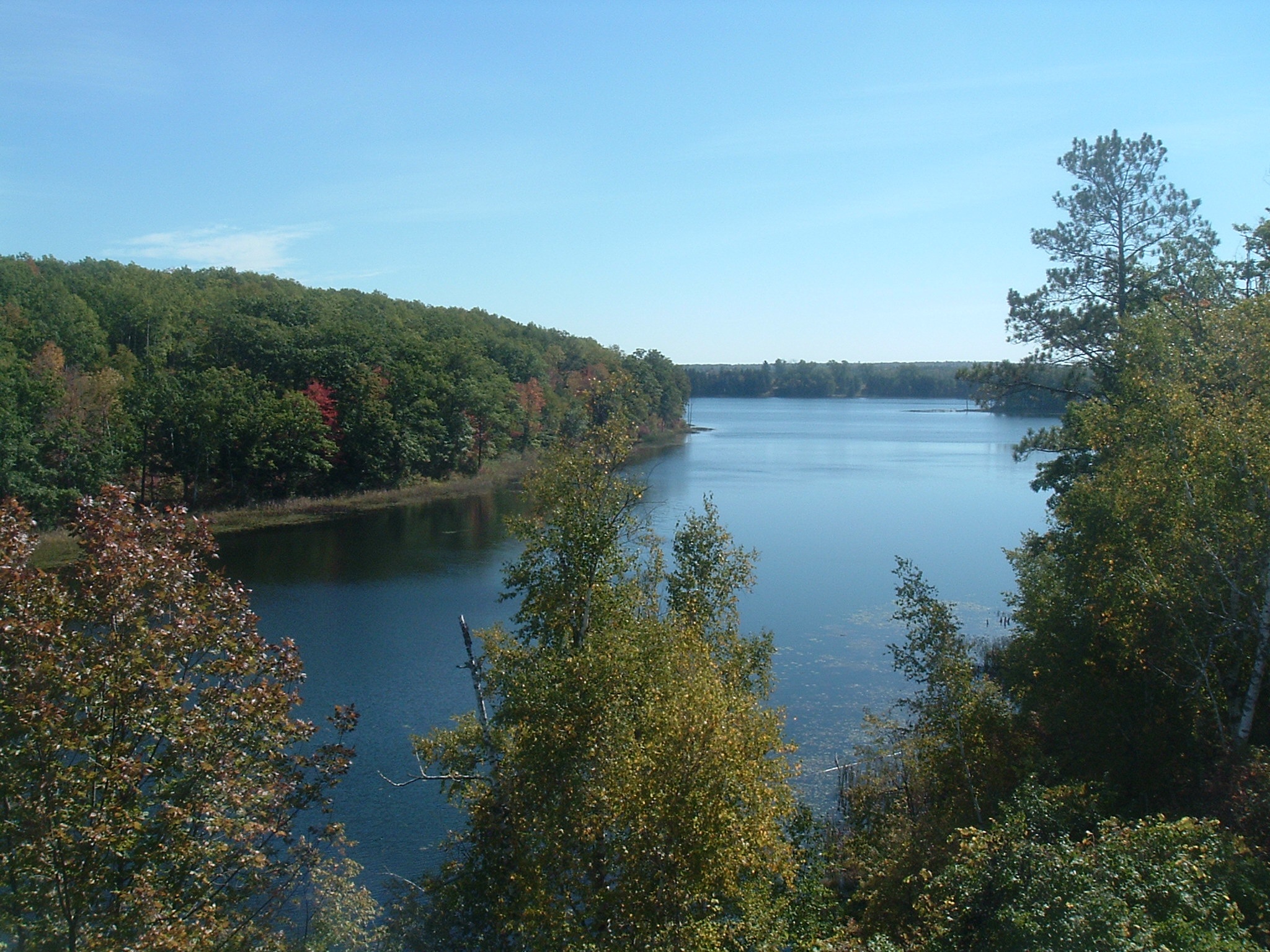
Lakes 03

Leaf Peeping 2011
Leaf Peeping 2011

rau_k,zol355,2012,watershed,group_4
Hungry Fish

Trackball Masters
Lakes 04
Habitat Enhancement - 18
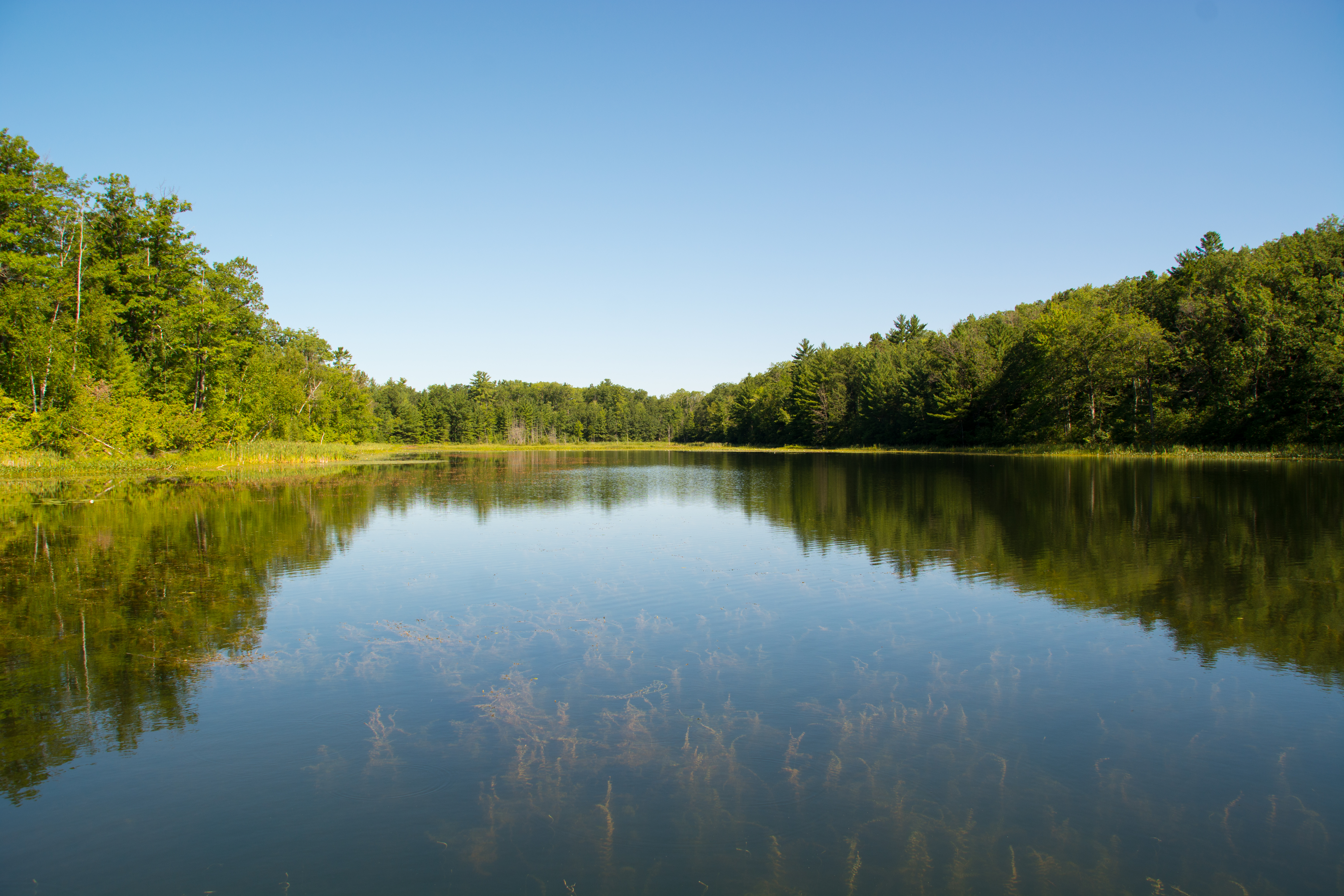
Rifle River Recreation Area
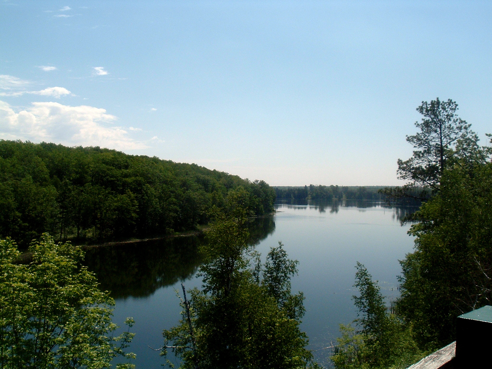
Peace and Tranquility

Fall Hiking on the Ogemaw Hills Pathway
Topographic Map of Klacking Township, MI, USA
Find elevation by address:

Places near Klacking Township, MI, USA:
1269 Stoney Ridge Rd
1269 Stoney Ridge Rd
1269 Stoney Ridge Rd
Ogemaw County
1180 Clear Lake Rd
1180 Clear Lake Rd
2780 Horseshoe Lake Rd
2201 Townline Rd
Rose City
West Branch
W Houghton Ave, West Branch, MI, USA
Foster Township
630 Progress St
628 Progress St
5938 Union Corners Rd
Rose Township
1111 Mayhew Rd
Lupton
Edwards Township
Big Creek Township
Recent Searches:
- Elevation of Corso Fratelli Cairoli, 35, Macerata MC, Italy
- Elevation of Tallevast Rd, Sarasota, FL, USA
- Elevation of 4th St E, Sonoma, CA, USA
- Elevation of Black Hollow Rd, Pennsdale, PA, USA
- Elevation of Oakland Ave, Williamsport, PA, USA
- Elevation of Pedrógão Grande, Portugal
- Elevation of Klee Dr, Martinsburg, WV, USA
- Elevation of Via Roma, Pieranica CR, Italy
- Elevation of Tavkvetili Mountain, Georgia
- Elevation of Hartfords Bluff Cir, Mt Pleasant, SC, USA