Elevation of Edwards Township, MI, USA
Location: United States > Michigan > Ogemaw County >
Longitude: -84.2910759
Latitude: 44.200177
Elevation: 269m / 883feet
Barometric Pressure: 0KPa
Related Photos:
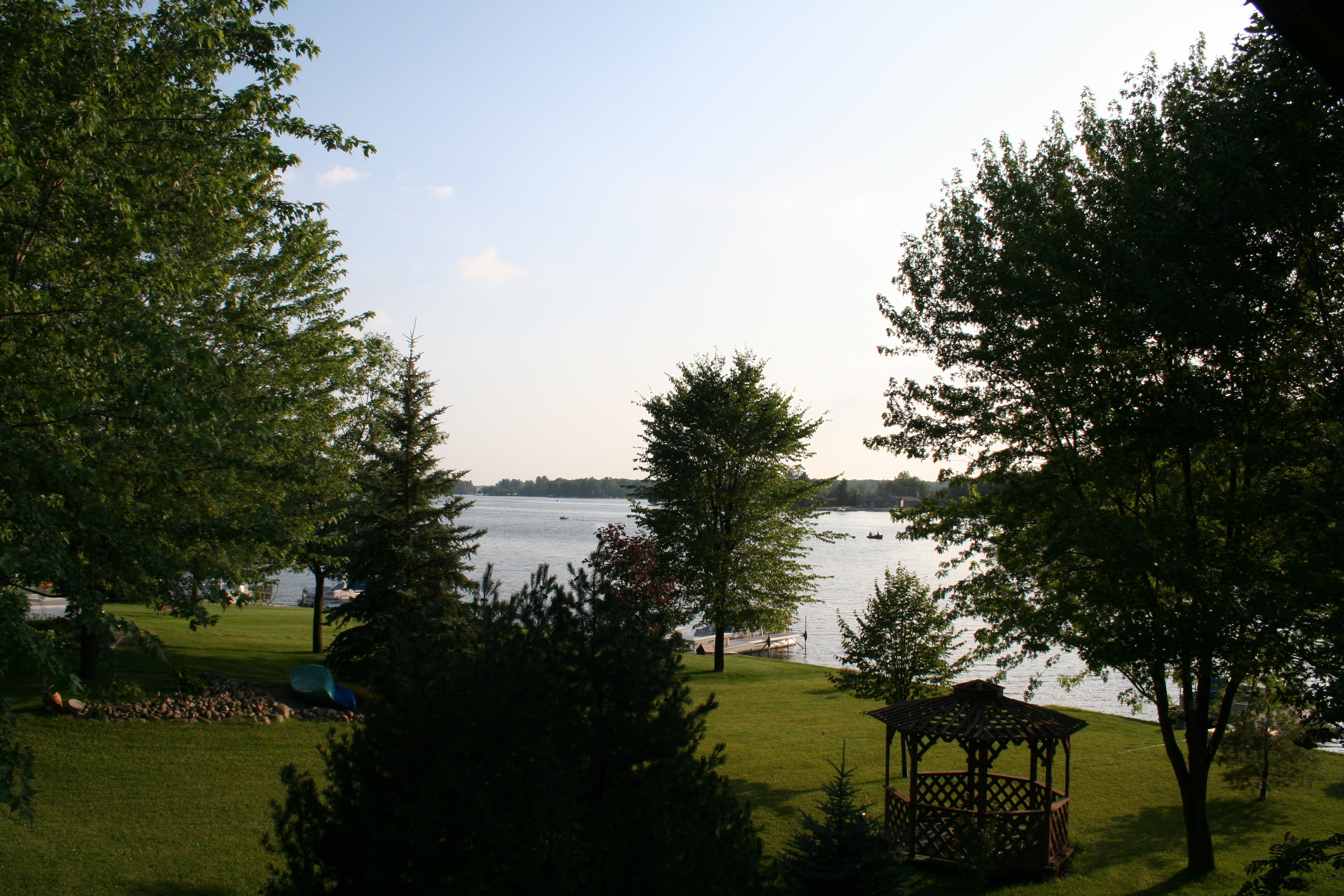
Some of the view from the top deck

The Nightmare - Sixth hole

Four Wheeling21
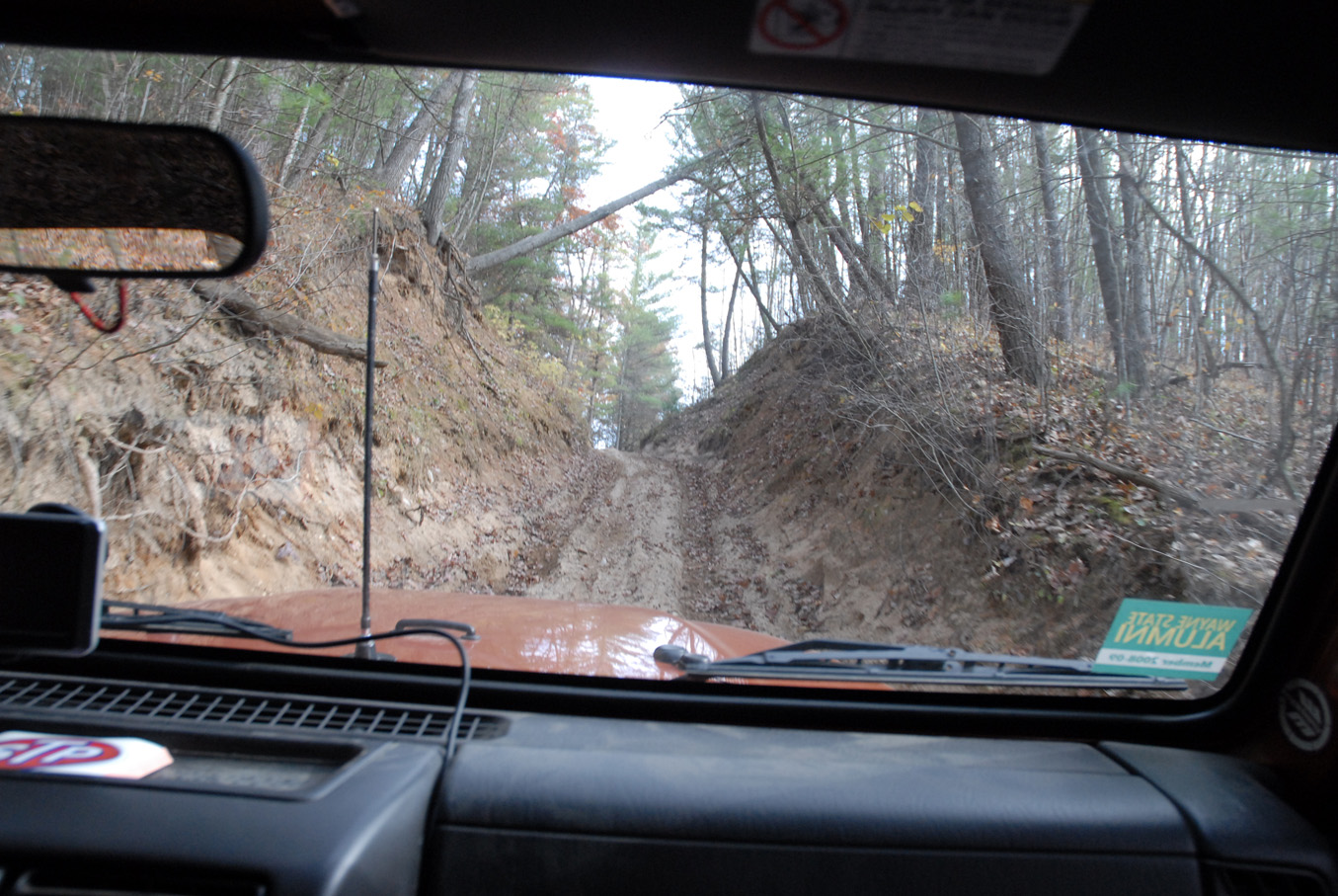
Four Wheeling12
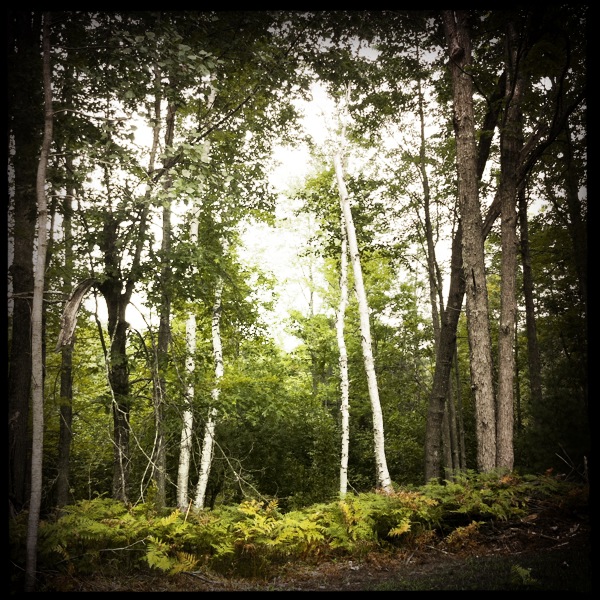
Deer country
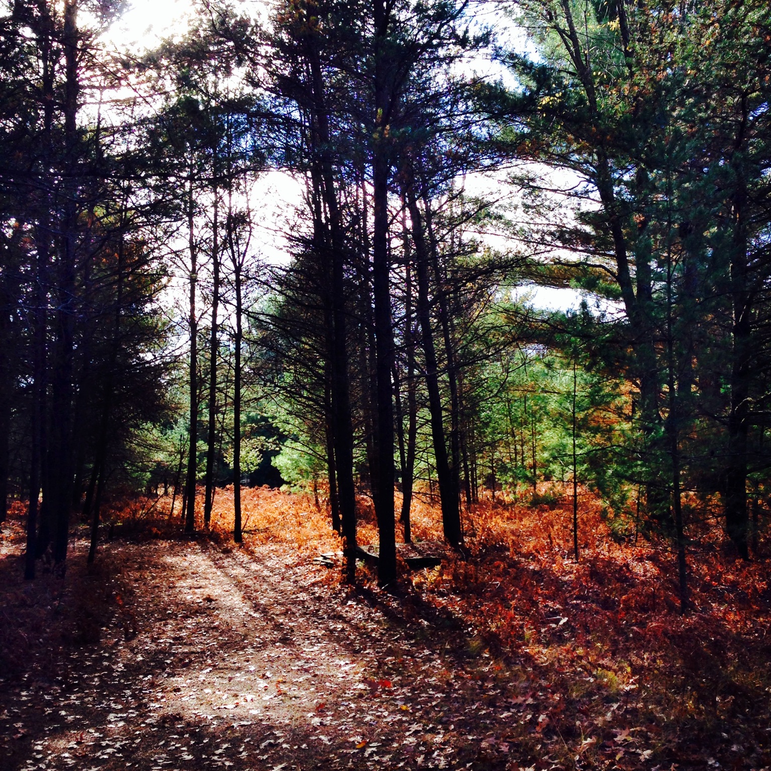
Pathways in the forest.
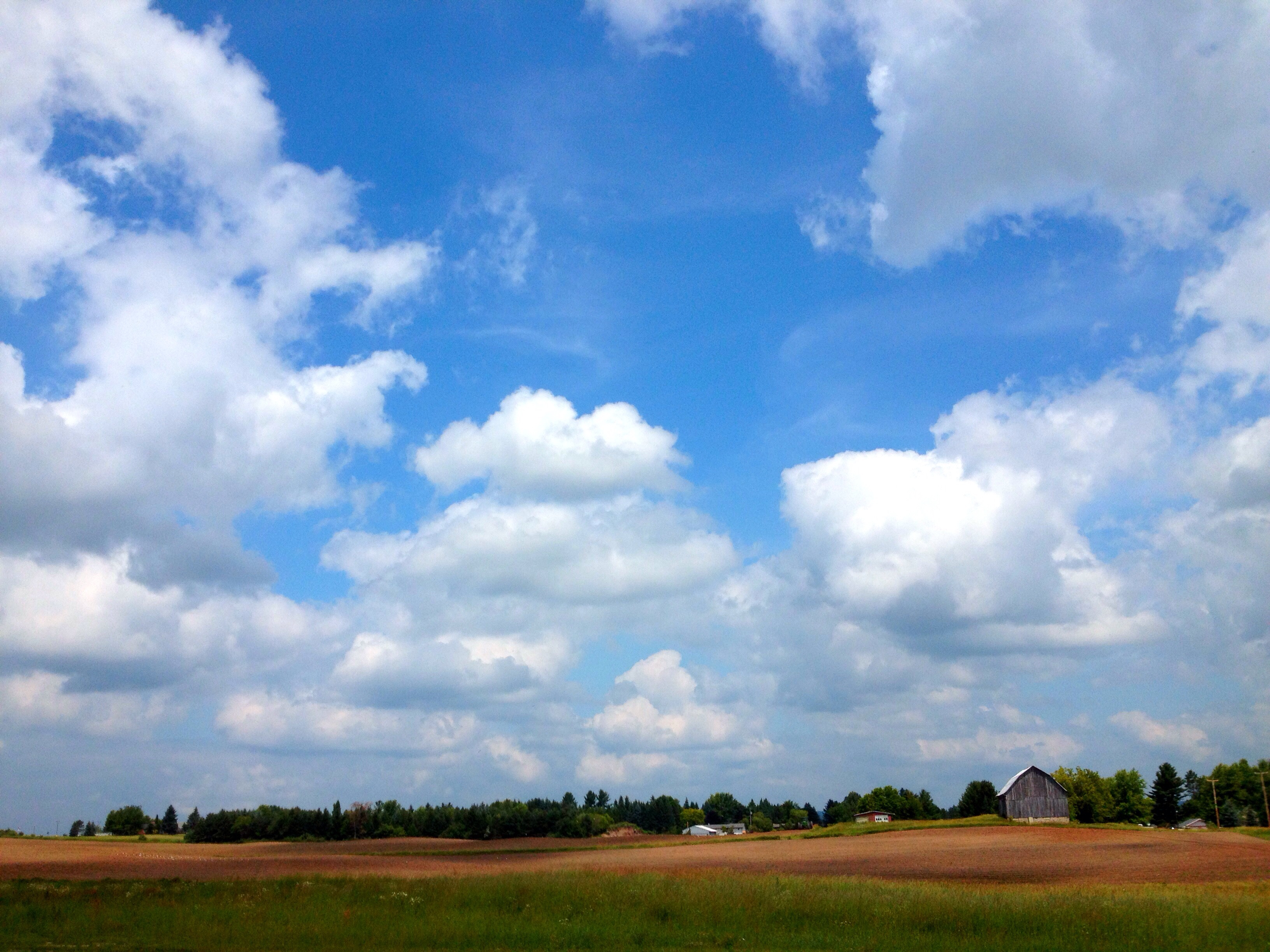
Farm in West Branch, MI

Gladwin evening.

Jarek iPhone 2012 429

Gotta love these corporate "Strategic Meetings". They're in the best places

Good morning Saturday. #realyrisers #puremichigan

rau_k,zol355,2012,watershed,group_4
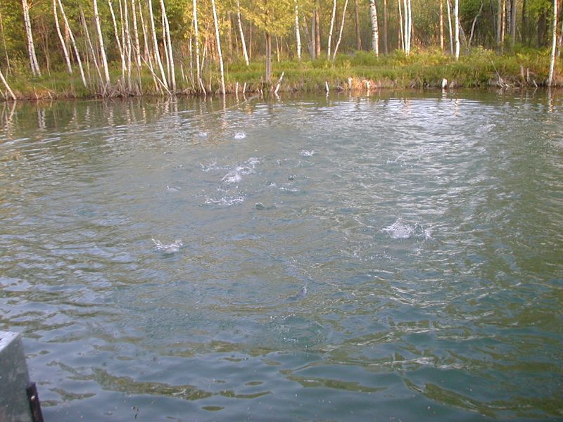
Hungry Fish

Four Wheeling54

The Dream - Hole 13
Topographic Map of Edwards Township, MI, USA
Find elevation by address:

Places in Edwards Township, MI, USA:
Places near Edwards Township, MI, USA:
M-30, West Branch, MI, USA
628 Progress St
630 Progress St
W Houghton Ave, West Branch, MI, USA
West Branch
1180 Clear Lake Rd
1180 Clear Lake Rd
Ogemaw County
Gladwin County
Alger
Moffatt Township
1269 Stoney Ridge Rd
1269 Stoney Ridge Rd
1269 Stoney Ridge Rd
Klacking Township
2780 Horseshoe Lake Rd
Mills Township
Foster Township
2201 Townline Rd
Skidway Lake
Recent Searches:
- Elevation map of Greenland, Greenland
- Elevation of Sullivan Hill, New York, New York, 10002, USA
- Elevation of Morehead Road, Withrow Downs, Charlotte, Mecklenburg County, North Carolina, 28262, USA
- Elevation of 2800, Morehead Road, Withrow Downs, Charlotte, Mecklenburg County, North Carolina, 28262, USA
- Elevation of Yangbi Yi Autonomous County, Yunnan, China
- Elevation of Pingpo, Yangbi Yi Autonomous County, Yunnan, China
- Elevation of Mount Malong, Pingpo, Yangbi Yi Autonomous County, Yunnan, China
- Elevation map of Yongping County, Yunnan, China
- Elevation of North 8th Street, Palatka, Putnam County, Florida, 32177, USA
- Elevation of 107, Big Apple Road, East Palatka, Putnam County, Florida, 32131, USA
- Elevation of Jiezi, Chongzhou City, Sichuan, China
- Elevation of Chongzhou City, Sichuan, China
- Elevation of Huaiyuan, Chongzhou City, Sichuan, China
- Elevation of Qingxia, Chengdu, Sichuan, China
- Elevation of Corso Fratelli Cairoli, 35, Macerata MC, Italy
- Elevation of Tallevast Rd, Sarasota, FL, USA
- Elevation of 4th St E, Sonoma, CA, USA
- Elevation of Black Hollow Rd, Pennsdale, PA, USA
- Elevation of Oakland Ave, Williamsport, PA, USA
- Elevation of Pedrógão Grande, Portugal