Elevation of Kitvade, Maharashtra, India
Location: India > Maharashtra > Kolhapur >
Longitude: 74.2590148
Latitude: 15.8384788
Elevation: 824m / 2703feet
Barometric Pressure: 92KPa
Elevation Map:
Satellite Map:
Related Photos:

Crazy Yatra
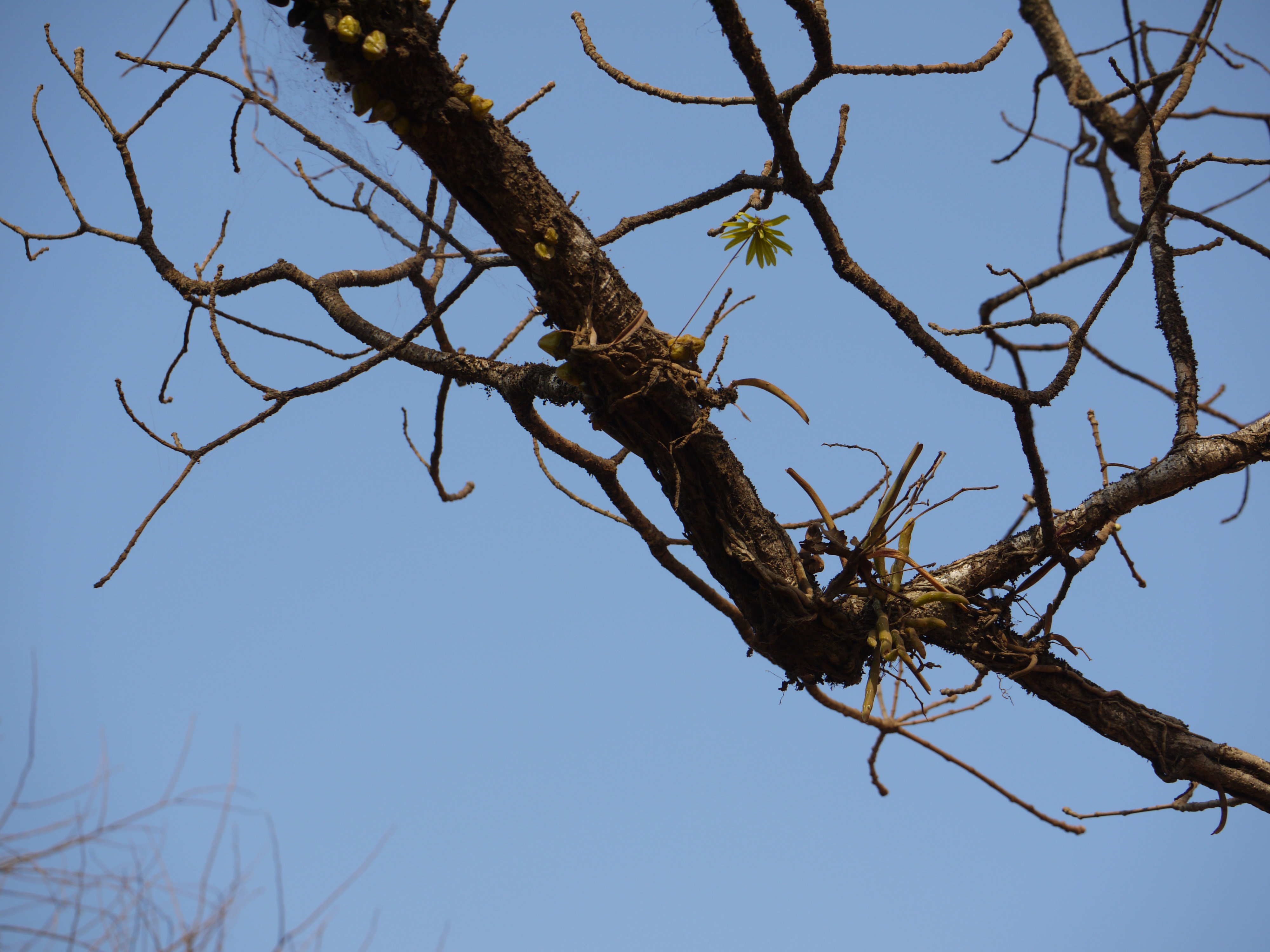
Bulbophyllum fimbriatum (Lindl.) Rchb.f.

Dendrobium barbatulum Lindl.

Vasant Amri (Marathi: वसंत अमरी)

Gulabi Dande Amri (Marathi: गुलाबी दांडे अमरी)
Topographic Map of Kitvade, Maharashtra, India
Find elevation by address:

Places near Kitvade, Maharashtra, India:
Kalanandigad Fort
Kaliwade
Jelugade
Kalasgade
Ambewadi
Shevale
Parle
Motanwadi
Primary School Nandawade
Shipur
Hallarwadi
Turkewadi
Murkutewadi
Konewadi
Dhekoli
Belebhat
Vaitakwadi
Dhumadewadi
Mathoshree Hospital, Majare Karve
Here
Recent Searches:
- Elevation of Corso Fratelli Cairoli, 35, Macerata MC, Italy
- Elevation of Tallevast Rd, Sarasota, FL, USA
- Elevation of 4th St E, Sonoma, CA, USA
- Elevation of Black Hollow Rd, Pennsdale, PA, USA
- Elevation of Oakland Ave, Williamsport, PA, USA
- Elevation of Pedrógão Grande, Portugal
- Elevation of Klee Dr, Martinsburg, WV, USA
- Elevation of Via Roma, Pieranica CR, Italy
- Elevation of Tavkvetili Mountain, Georgia
- Elevation of Hartfords Bluff Cir, Mt Pleasant, SC, USA