Elevation of Kishoreganj District, Bangladesh
Location: Bangladesh > Dhaka Division >
Longitude: 90.9820668
Latitude: 24.4260457
Elevation: 5m / 16feet
Barometric Pressure: 101KPa
Elevation Map:
Satellite Map:
Related Photos:
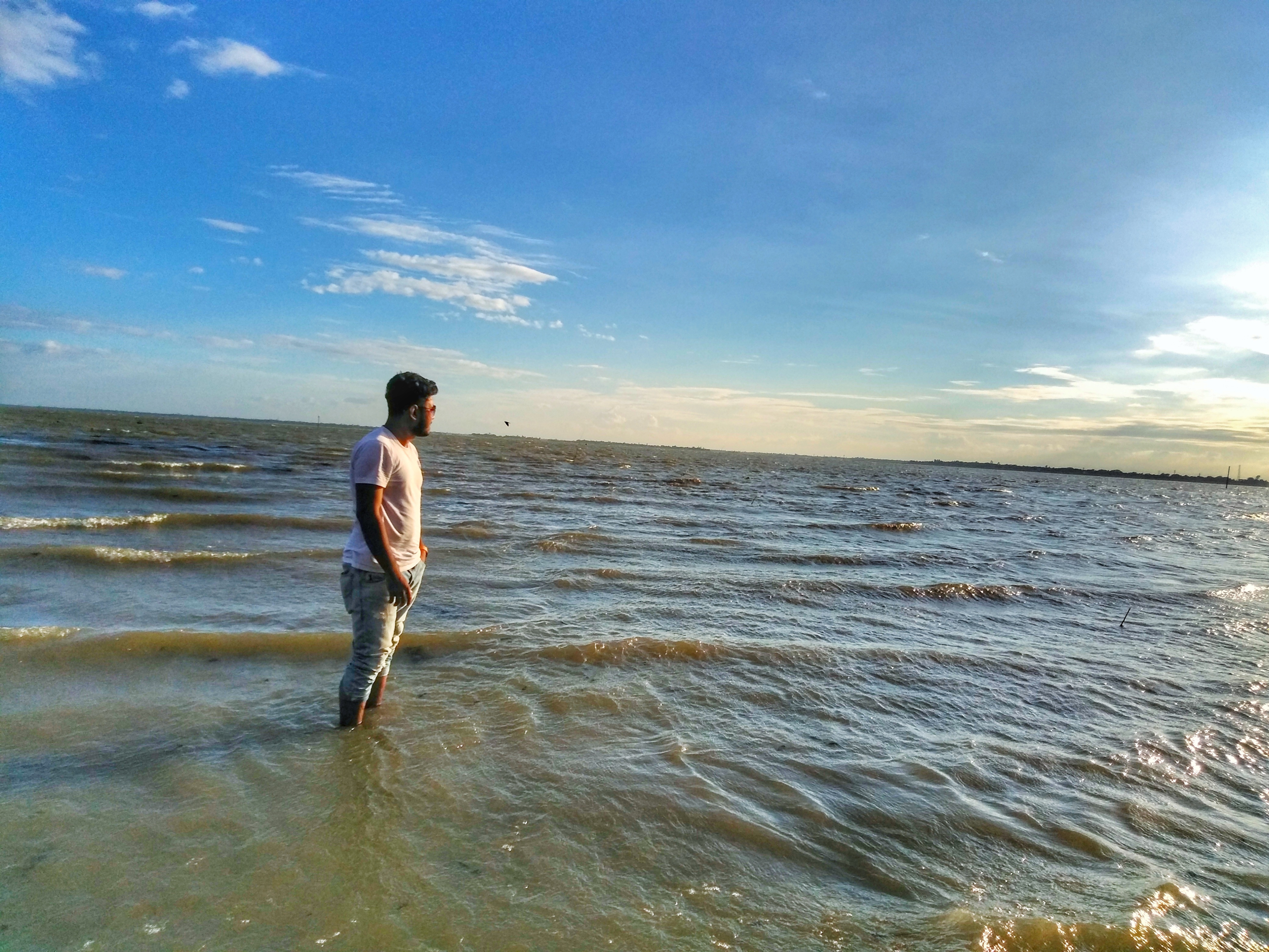
River Beach

Before the storm comes
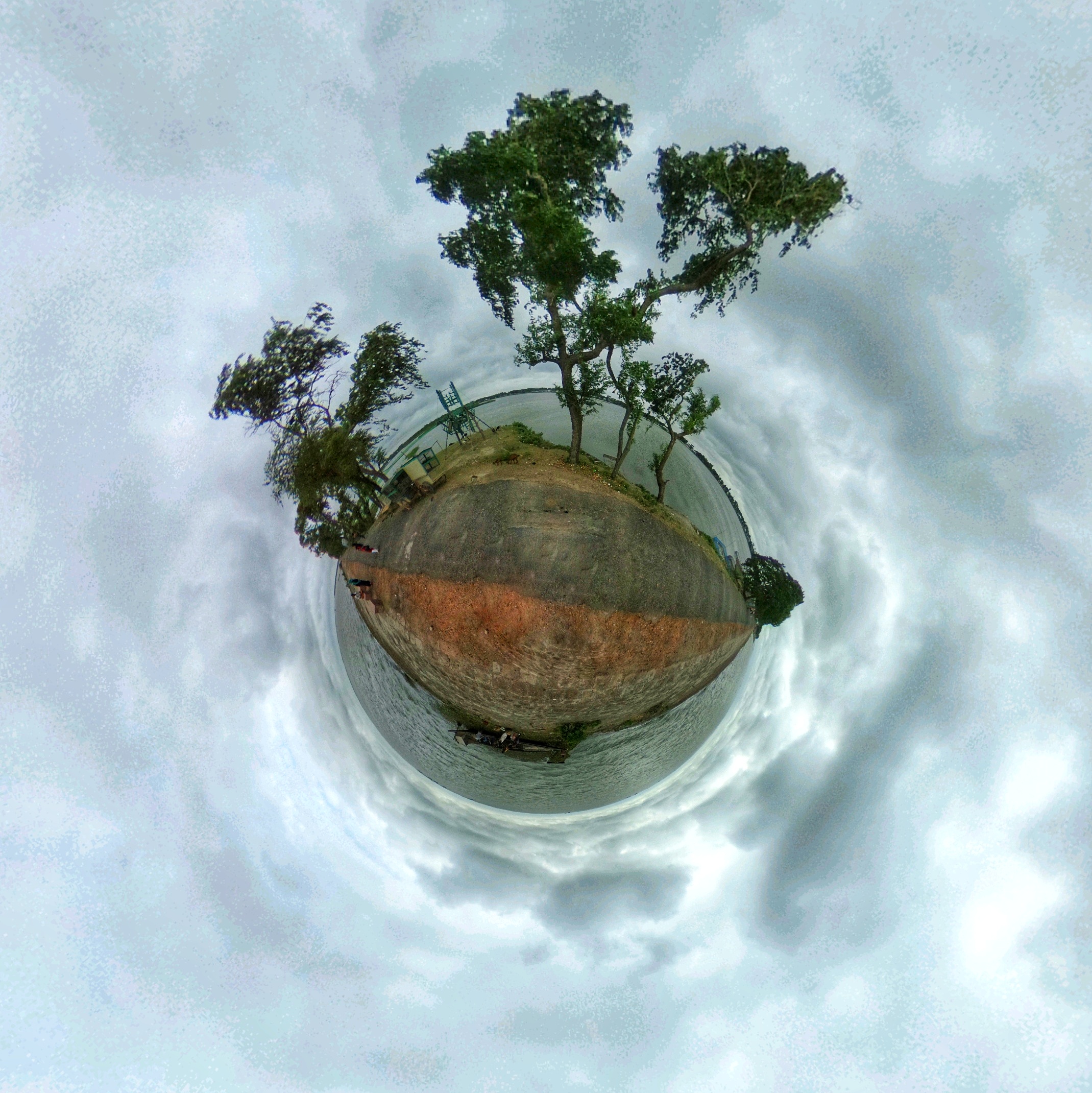
#littleplanet #littleworld #haor #dark #sky
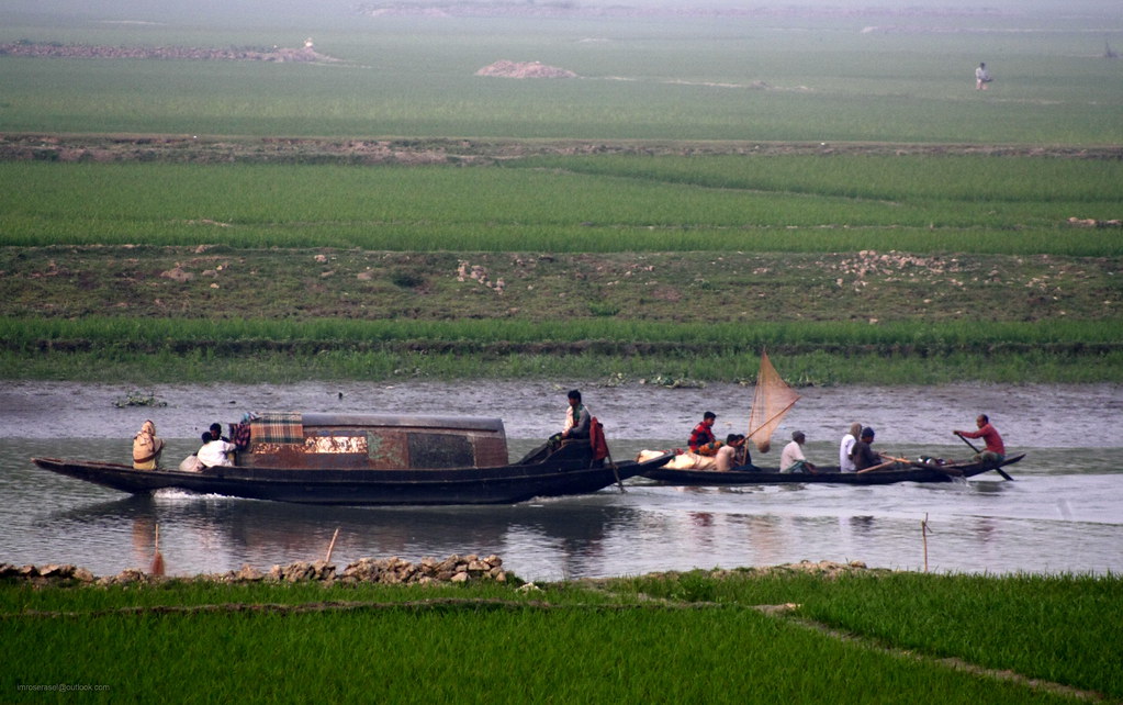
Technology Always Wins...But..!
Topographic Map of Kishoreganj District, Bangladesh
Find elevation by address:

Places in Kishoreganj District, Bangladesh:
Places near Kishoreganj District, Bangladesh:
Kishoreganj
Lakhai Upazila
Narsingdi District
Sullah
Netrokona District
Madhabpur
Dharmapasha
Brahmanbaria District
Derai Upazila
Kapasia
Habirbari
Nasa Hitech Style Ltd.
Supti Sweater Limited
Mymensingh Division
Mawna Union
Mahona Bhabanipur
Kaliganj
Nice Denim Mills Limited
Jamalganj
Mymensingh
Recent Searches:
- Elevation of Corso Fratelli Cairoli, 35, Macerata MC, Italy
- Elevation of Tallevast Rd, Sarasota, FL, USA
- Elevation of 4th St E, Sonoma, CA, USA
- Elevation of Black Hollow Rd, Pennsdale, PA, USA
- Elevation of Oakland Ave, Williamsport, PA, USA
- Elevation of Pedrógão Grande, Portugal
- Elevation of Klee Dr, Martinsburg, WV, USA
- Elevation of Via Roma, Pieranica CR, Italy
- Elevation of Tavkvetili Mountain, Georgia
- Elevation of Hartfords Bluff Cir, Mt Pleasant, SC, USA