Elevation map of Kiruna V, Sweden
Location: Sweden > Norrbotten County > Kiruna >
Longitude: 19.1671618
Latitude: 68.0841399
Elevation: 735m / 2411feet
Barometric Pressure: 93KPa
Elevation Map:
Satellite Map:
Related Photos:
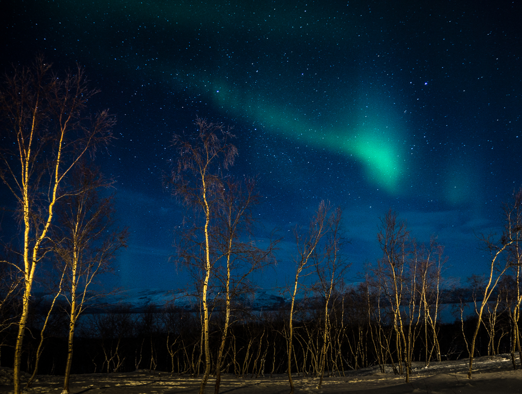
Northern lights, Sweden.

Northern lights, Sweden.

Rautas River, Kiruna

Rautas River, Kiruna
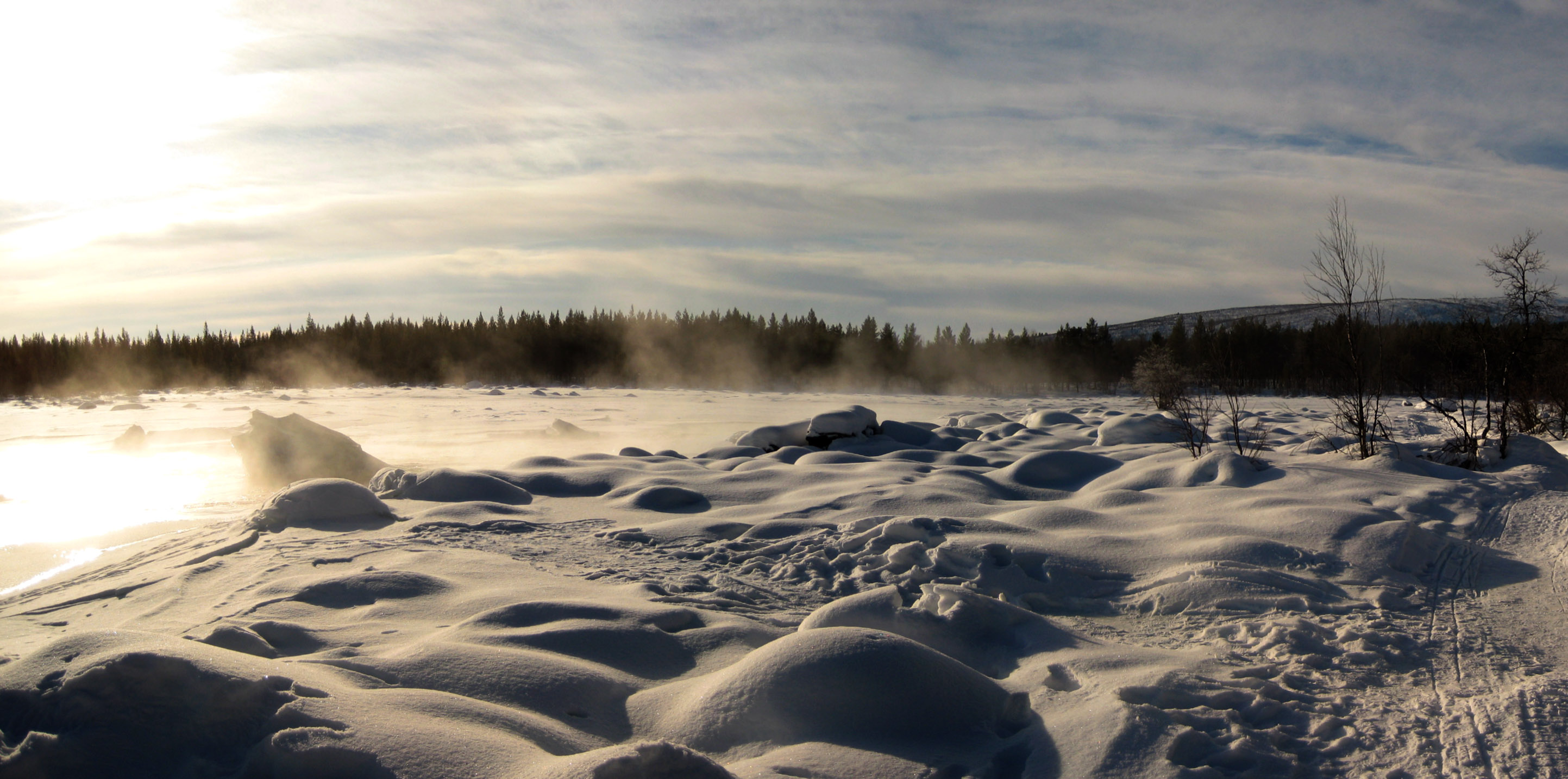
Rautas River, Kiruna

Torne & Rautas River, Kiruna
Topographic Map of Kiruna V, Sweden
Find elevation by address:

Places in Kiruna V, Sweden:
Places near Kiruna V, Sweden:
Nikkaluokta
Abisko
Björkliden
Björkliden
Kebnekaisefjallstation
Kebnekaise
Sydtoppen
Målselv
Setermoen
Recent Searches:
- Elevation of Corso Fratelli Cairoli, 35, Macerata MC, Italy
- Elevation of Tallevast Rd, Sarasota, FL, USA
- Elevation of 4th St E, Sonoma, CA, USA
- Elevation of Black Hollow Rd, Pennsdale, PA, USA
- Elevation of Oakland Ave, Williamsport, PA, USA
- Elevation of Pedrógão Grande, Portugal
- Elevation of Klee Dr, Martinsburg, WV, USA
- Elevation of Via Roma, Pieranica CR, Italy
- Elevation of Tavkvetili Mountain, Georgia
- Elevation of Hartfords Bluff Cir, Mt Pleasant, SC, USA