Elevation of Kiowa-Bennett Rd, Kiowa, CO, USA
Location: United States > Colorado > Elbert County > Kiowa >
Longitude: -104.46369
Latitude: 39.347477
Elevation: 1945m / 6381feet
Barometric Pressure: 80KPa
Elevation Map:
Satellite Map:
Related Photos:
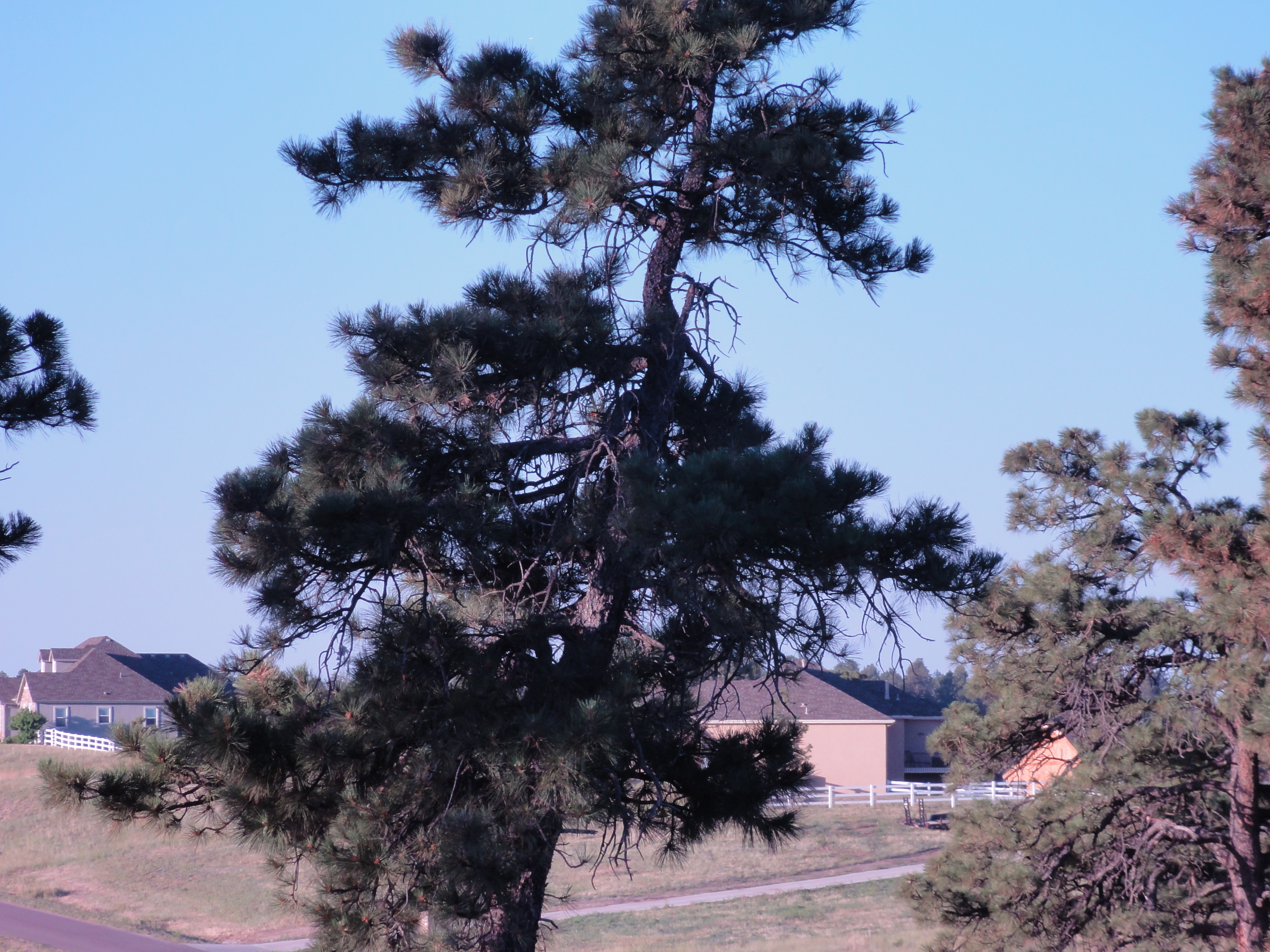
West side view of Britanie Ridge

Ghostly Viewing
_DSC2627.JPG
_DSC2609.JPG
_DSC2608.JPG
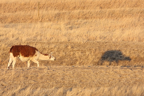
Me & my Shadow
_DSC2659.JPG
_DSC2660.JPG

2012-08-06 08.44.31
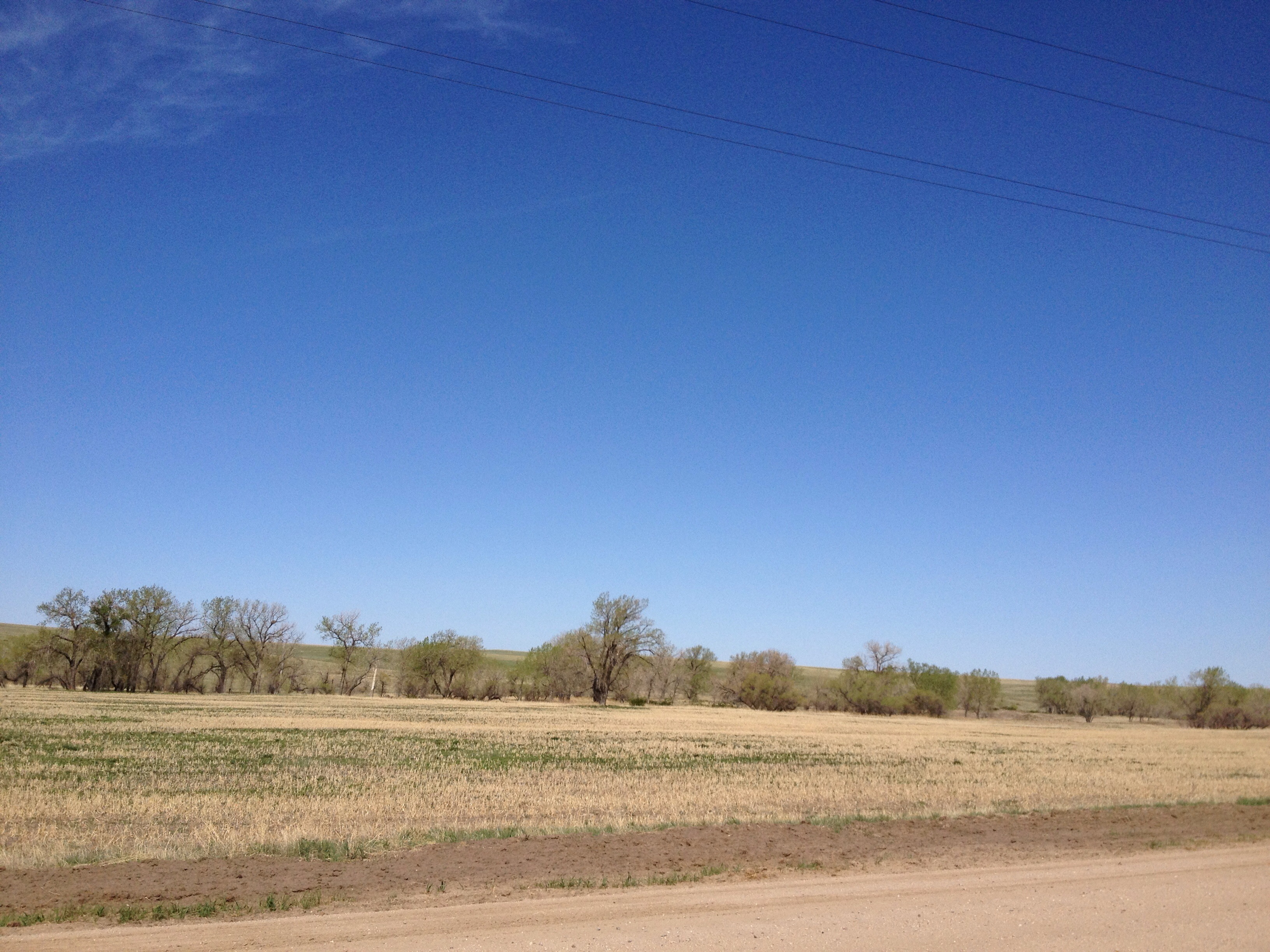
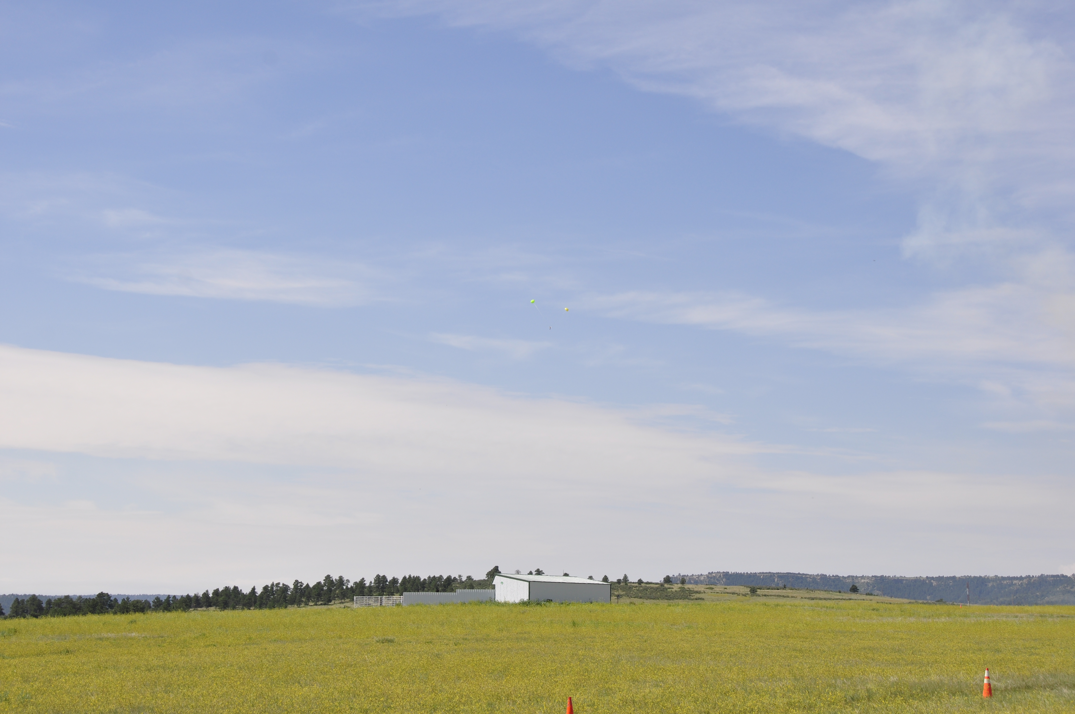
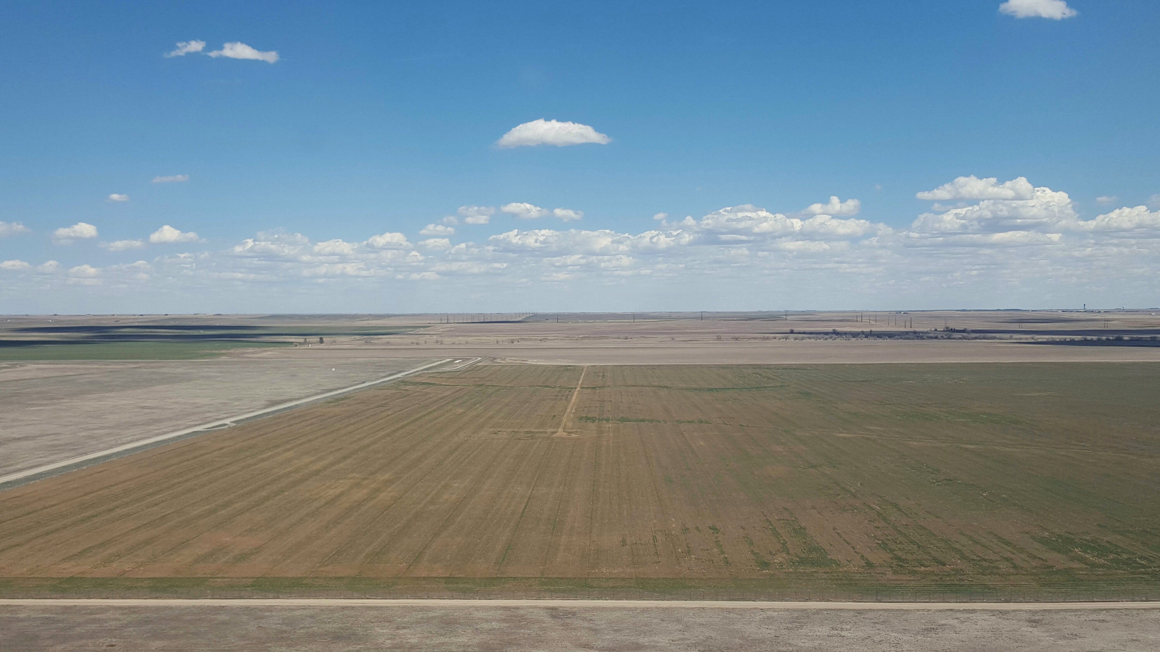
High Plains
_DSC2637.JPG
im not sure who would have called the cops
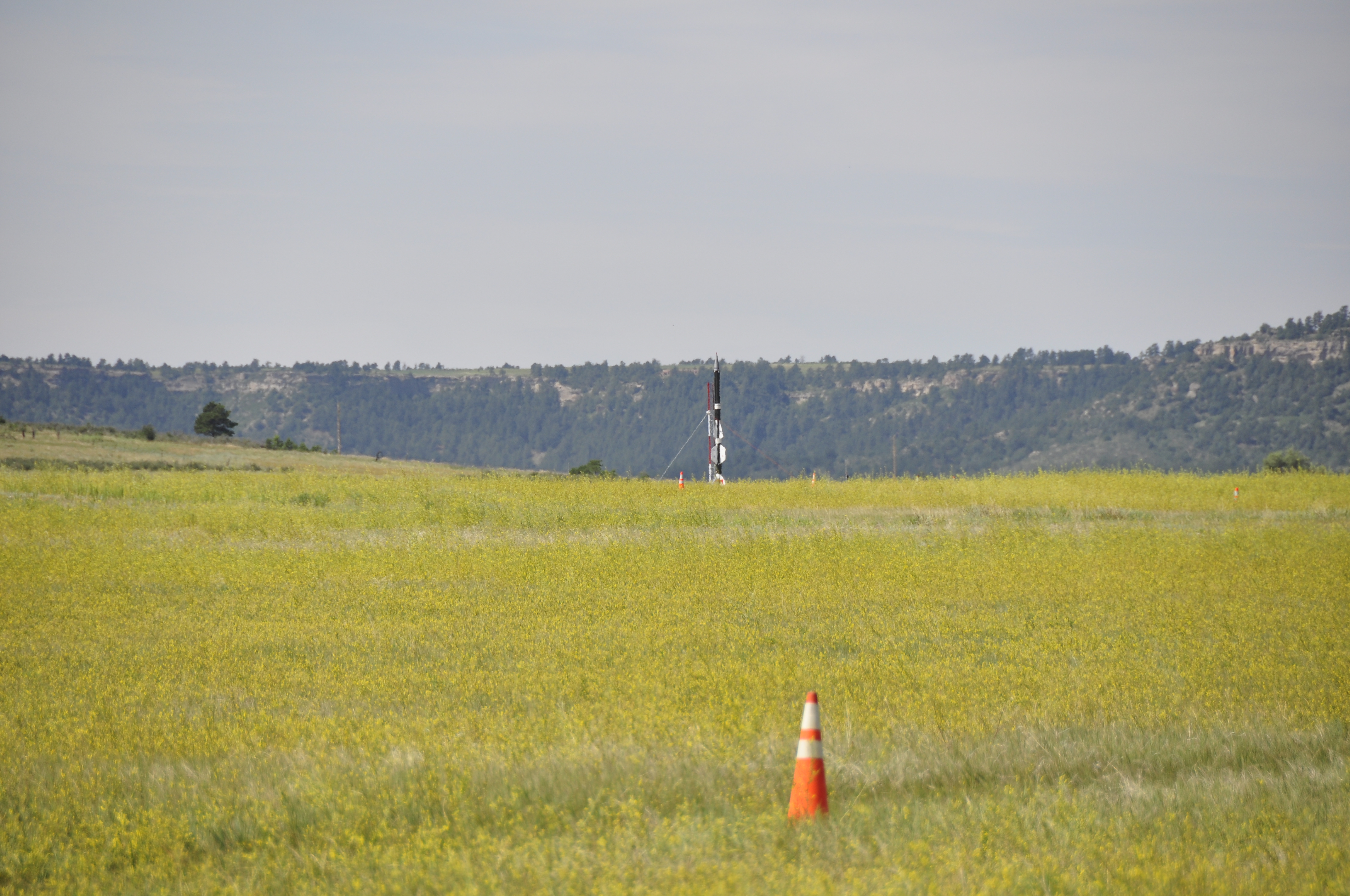
_DSC2636.JPG
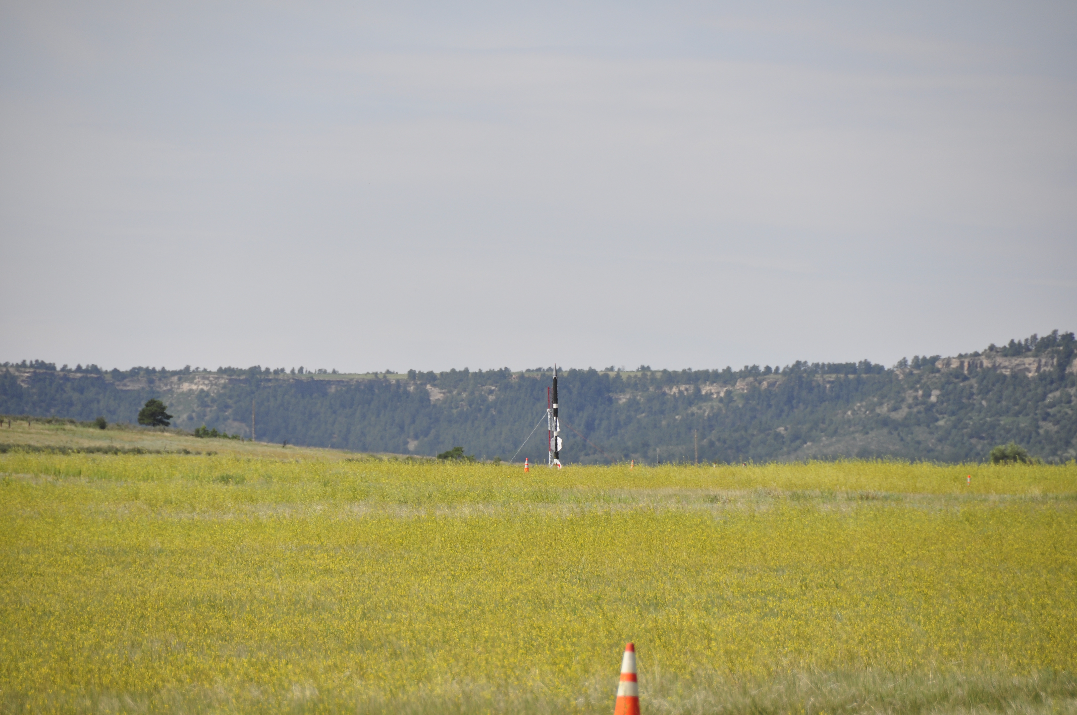
_DSC2631.JPG
2016-04-06_01-30-34

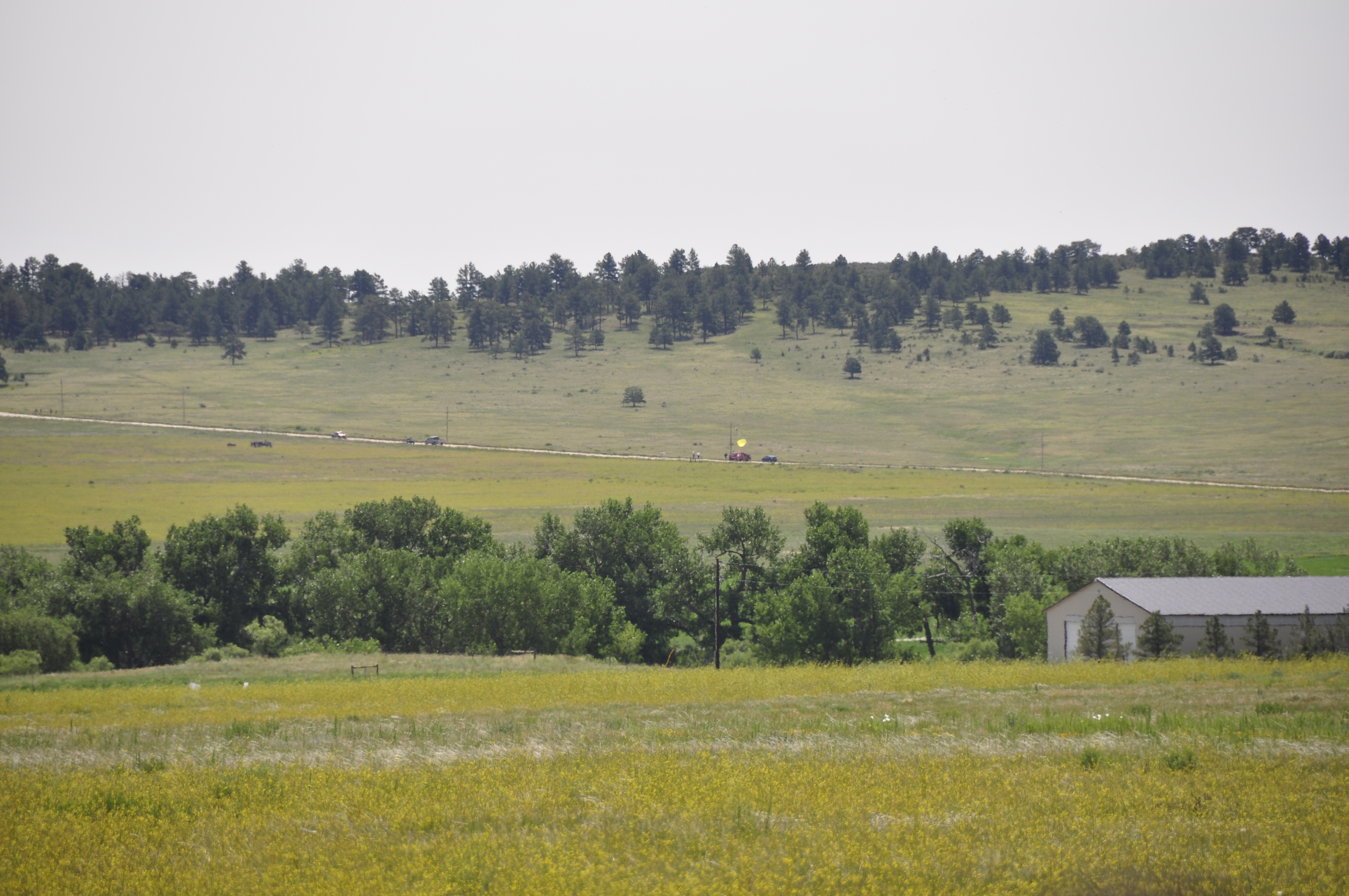
Barn on Elbert Road

_DSC2662.JPG
_DSC2661.JPG
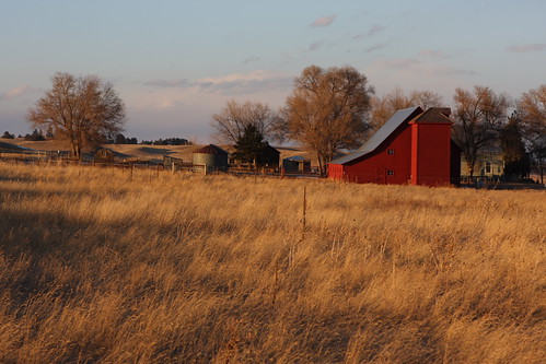
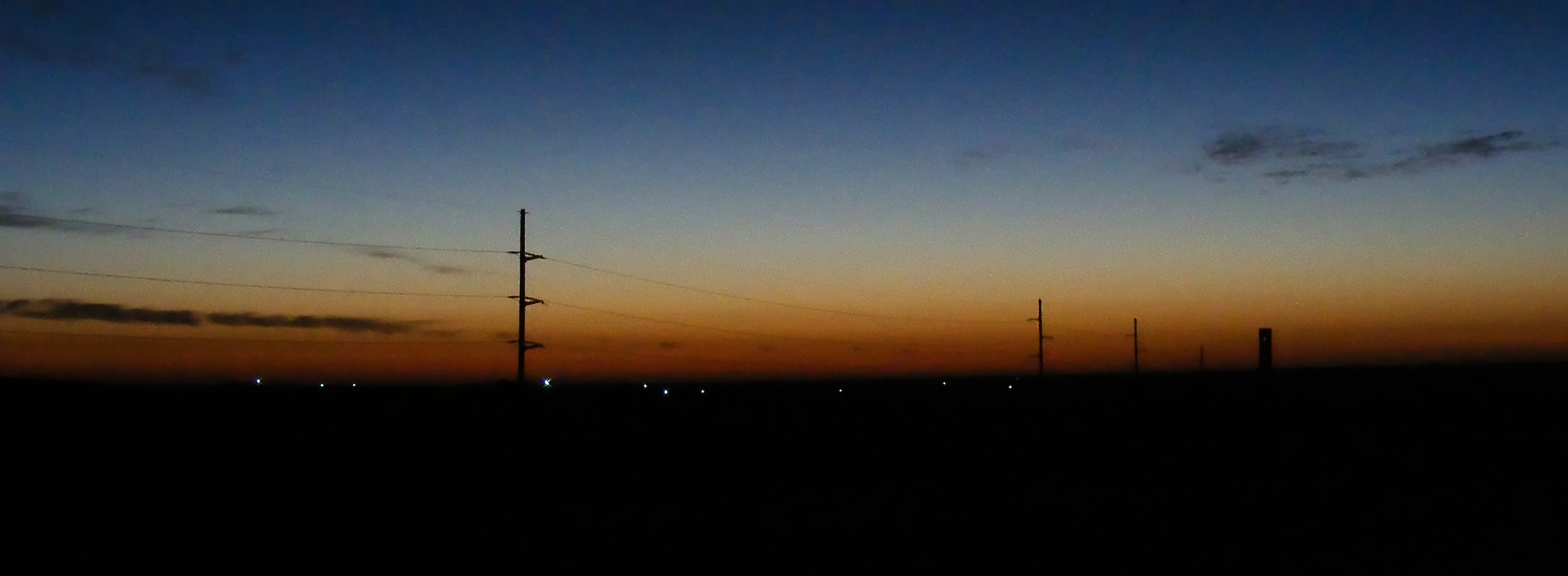
Red Barn & Setting Sun
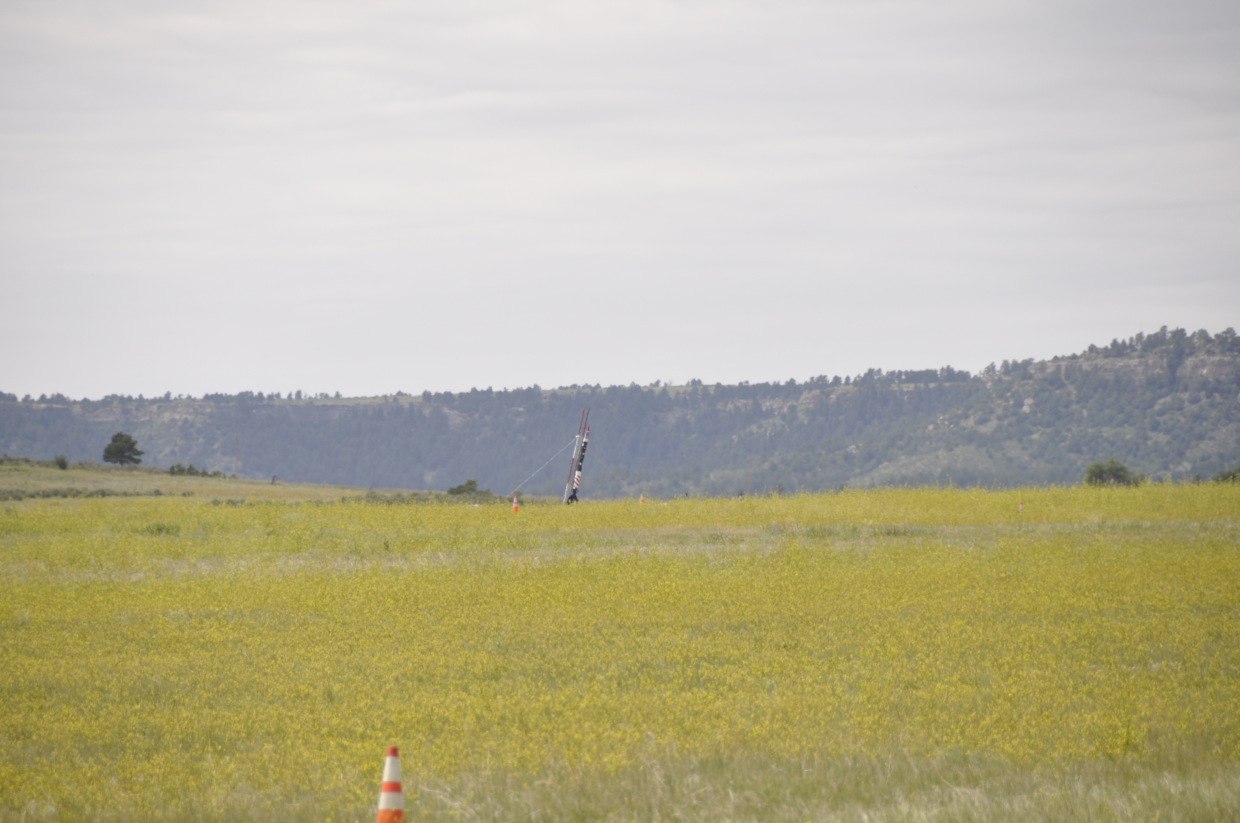
out of nowhere

Horned Lark

full force elbert county!
Lot 76
Topographic Map of Kiowa-Bennett Rd, Kiowa, CO, USA
Find elevation by address:

Places near Kiowa-Bennett Rd, Kiowa, CO, USA:
Kiowa
11994 Pine Meadows Dr
7397 Pine Crest Dr
34404 Goldenrod Cir
27598 Forest Ridge Dr
27614 E Broadview Dr
6507 Arrowhead Trail
11567 E Broadview Dr
32700 Co Rd 17/21
33946 Goldfinch Dr
Elizabeth
33488 Meadow Ln
N Elbert Rd, Elbert, CO, USA
Elbert
23856 Elbert St
3302 Willownook Ranch Trail
4330 Co Rd 106
31575 Co Rd 9
11720 Co-86
Cave Spring Trail
Recent Searches:
- Elevation of Corso Fratelli Cairoli, 35, Macerata MC, Italy
- Elevation of Tallevast Rd, Sarasota, FL, USA
- Elevation of 4th St E, Sonoma, CA, USA
- Elevation of Black Hollow Rd, Pennsdale, PA, USA
- Elevation of Oakland Ave, Williamsport, PA, USA
- Elevation of Pedrógão Grande, Portugal
- Elevation of Klee Dr, Martinsburg, WV, USA
- Elevation of Via Roma, Pieranica CR, Italy
- Elevation of Tavkvetili Mountain, Georgia
- Elevation of Hartfords Bluff Cir, Mt Pleasant, SC, USA