Elevation of Kingsport Hwy, Fall Branch, TN, USA
Location: United States > Tennessee > Greene County > Fall Branch >
Longitude: -82.661996
Latitude: 36.357294
Elevation: 489m / 1604feet
Barometric Pressure: 96KPa
Elevation Map:
Satellite Map:
Related Photos:
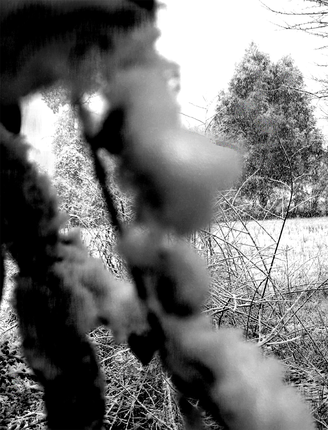
What Is Your Focus
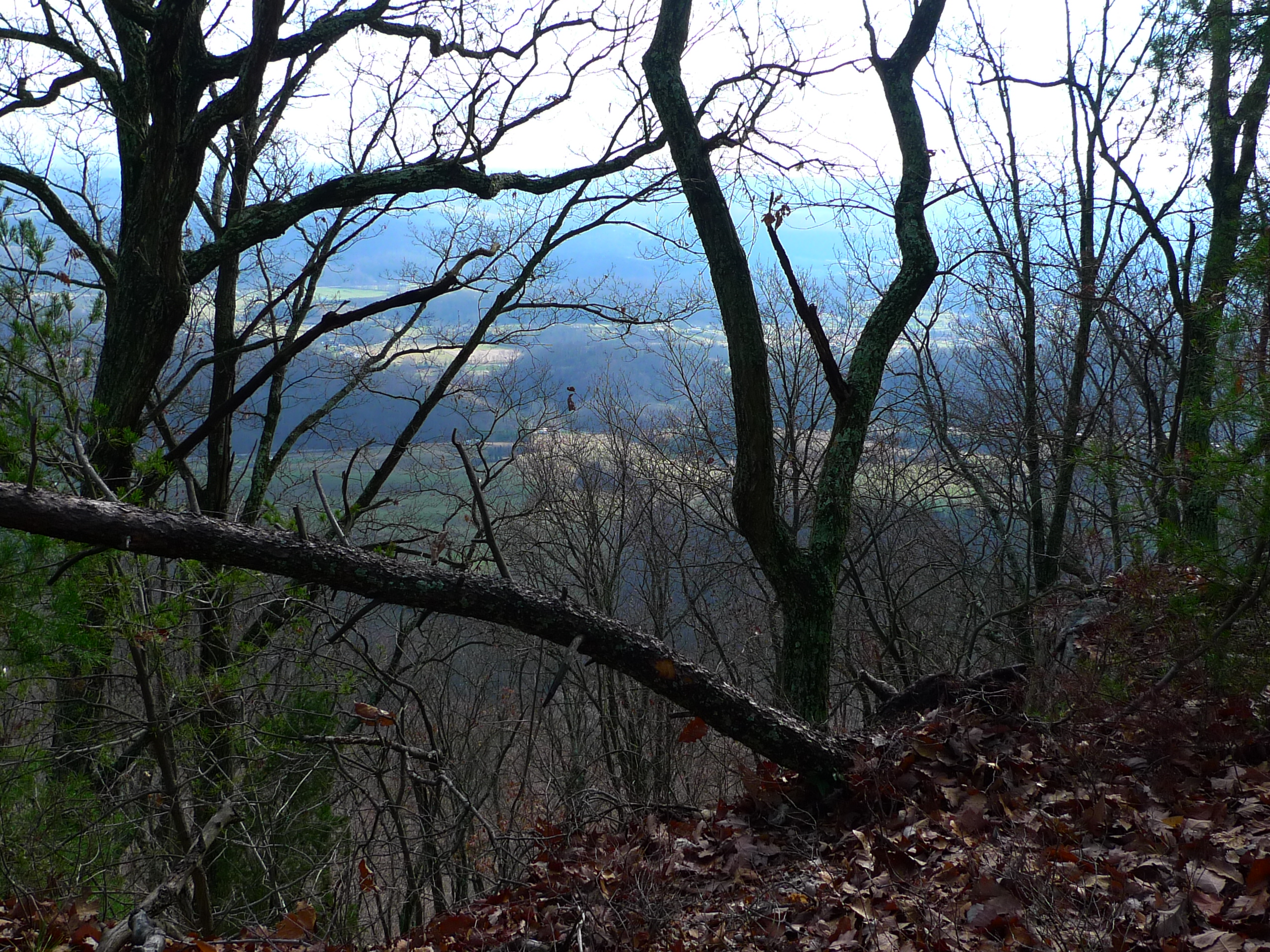
View from Bays Ridge

View from the Front Porch
View from Bays Ridge
View from Bays Ridge

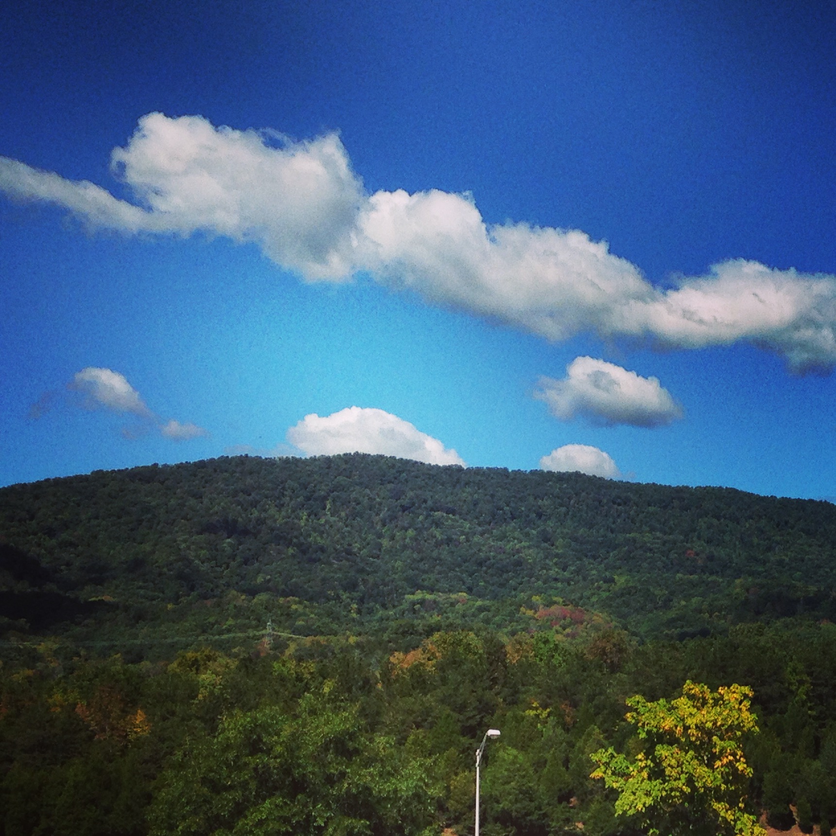
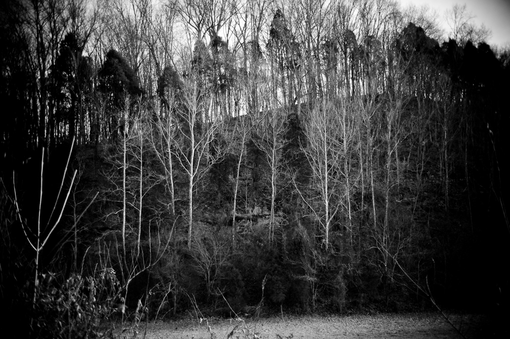
Tennessee mountains

Foggy View.

Feild View

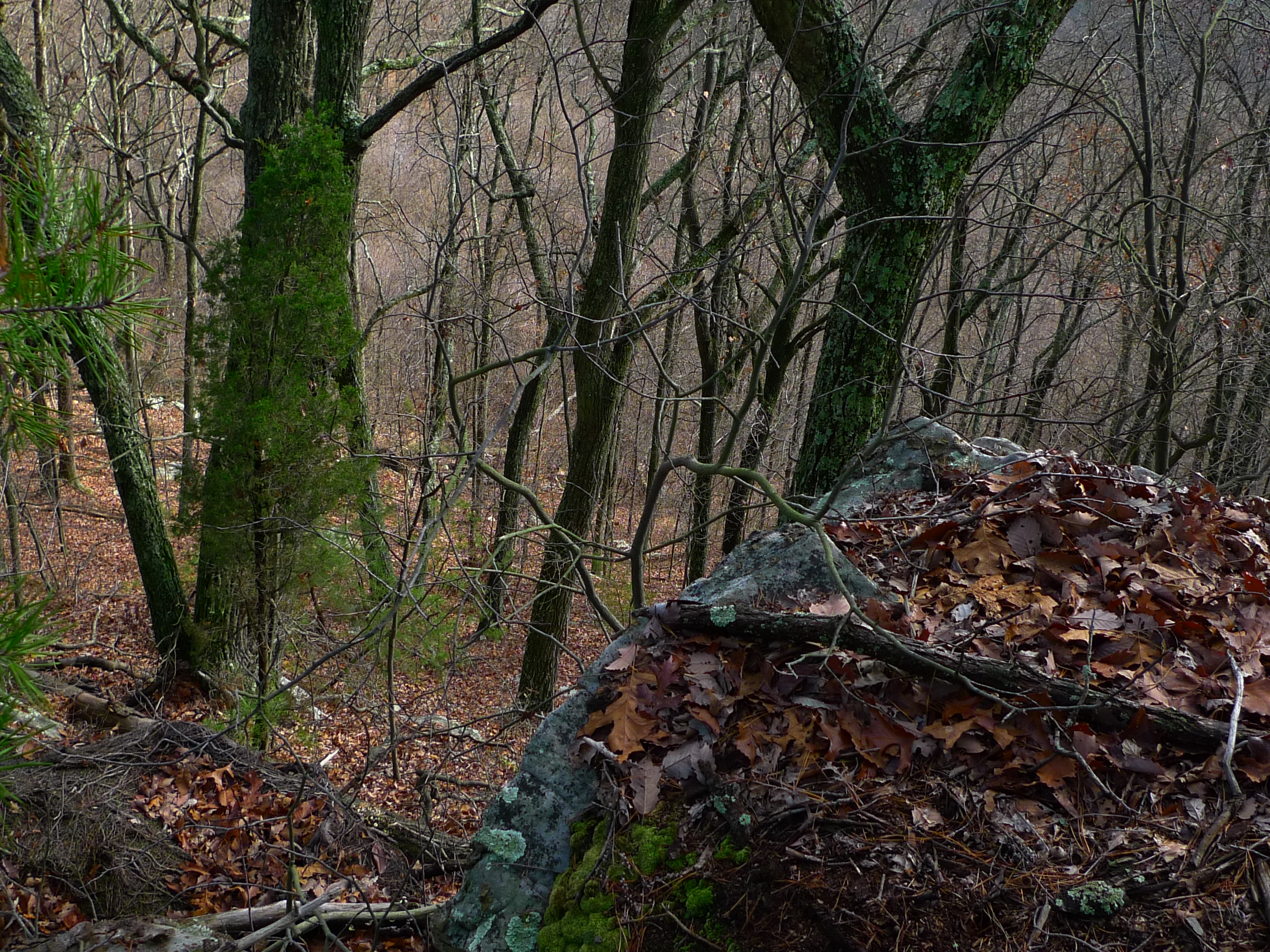
View from Bays Ridge

Rainbow in the Rear view
Taking in the view

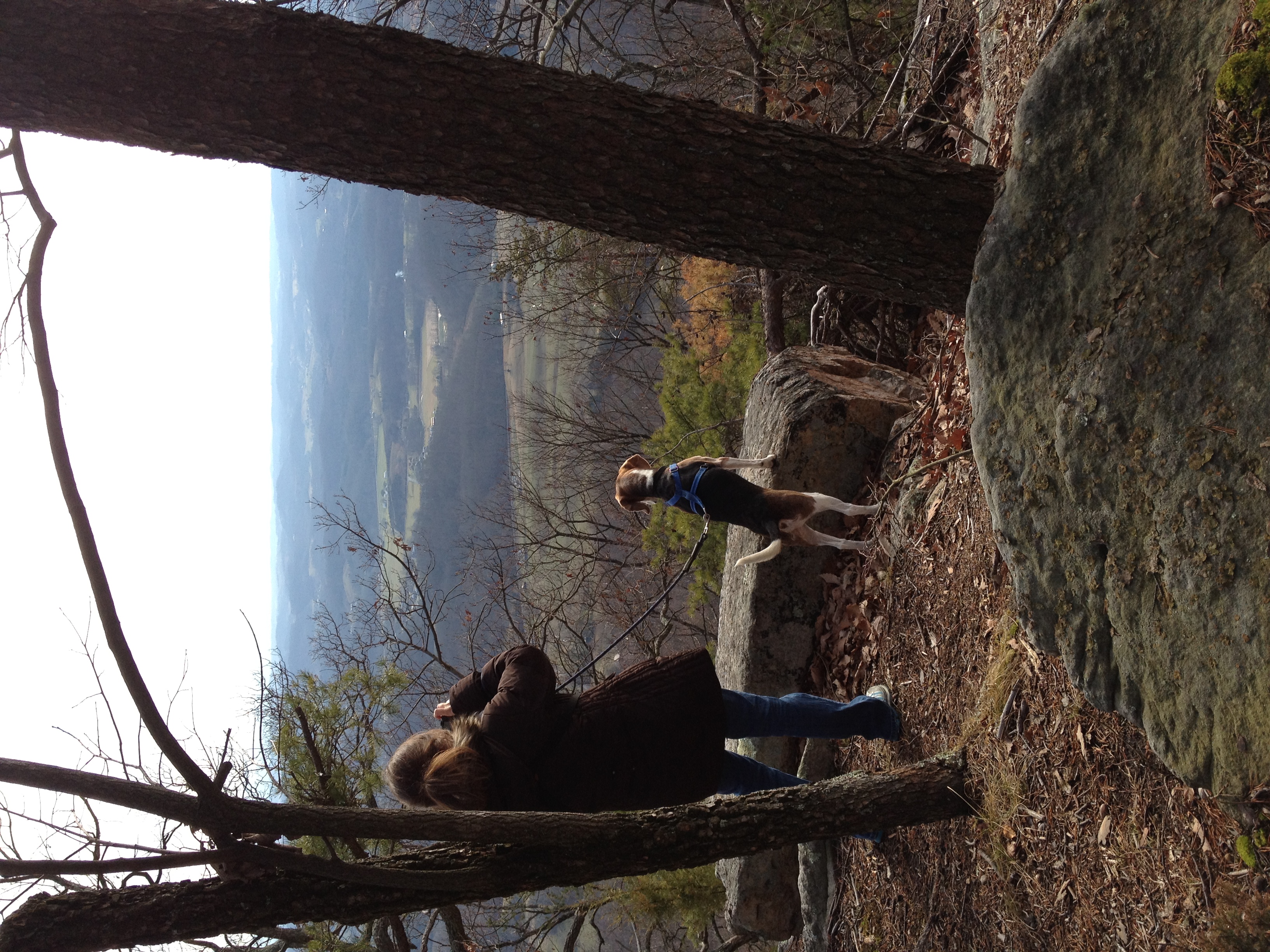
View from Bays Ridge

view from Bays Mountain Park
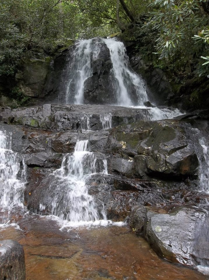
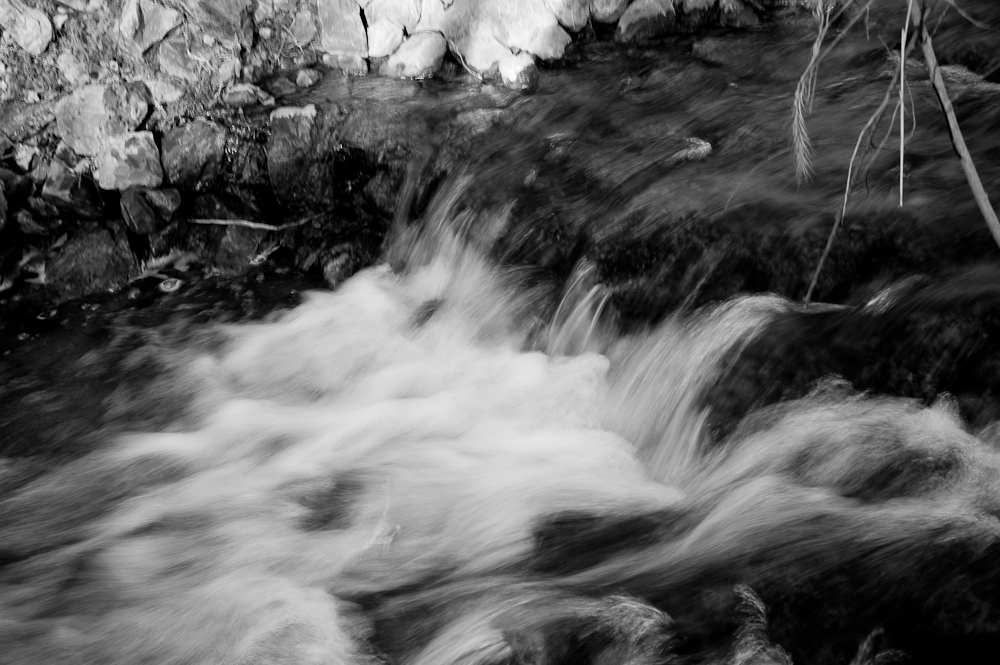
Laurel Falls
WP_20151120_002 (2)

A black furry skyline.
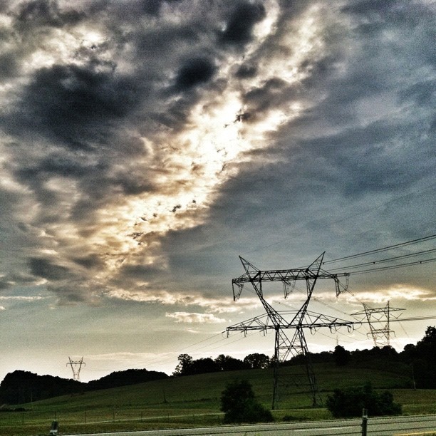
Power in the clouds. #johnsoncity #kingsport #cloudporn #skyporn #instaclouds #powerlines #landscapes #skylines #instagram #iphonesia #photooftheday #trinity2 #instagood #iphone #iphoneonly #popular #iphonography #iphoneography #instamood #Instadaily #ig
A face among the Fall
Road Trip 2014
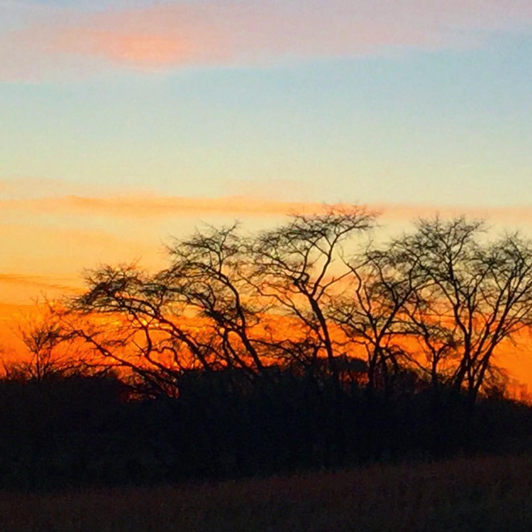
#sunset #sunsetlovers #sunsets
2008-07-06 - July 4th And Mary Elizabeth & John's Visit (67)
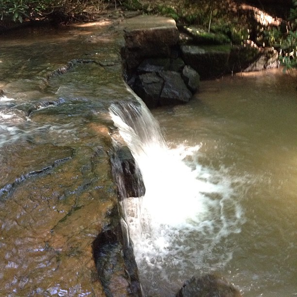
#waterfall #falls #water
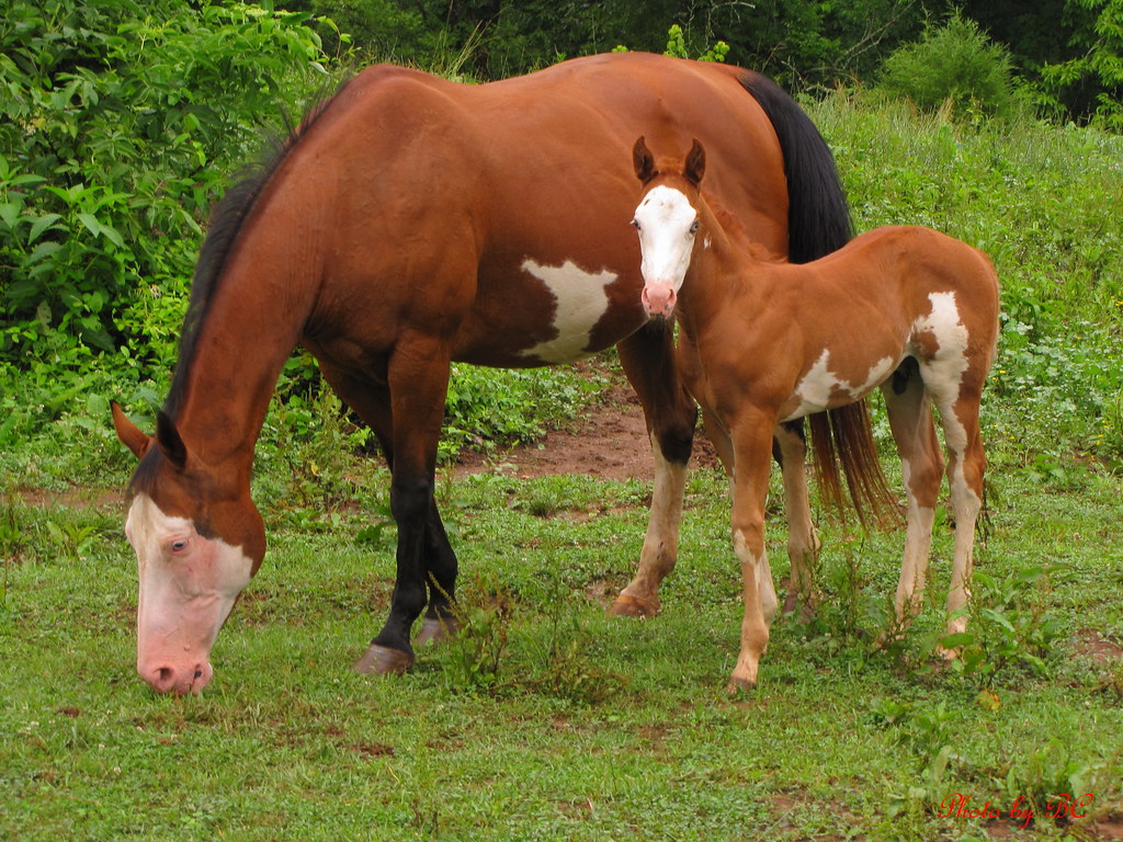
Mother and Son

#sunsets #sunsetlovers #sunset
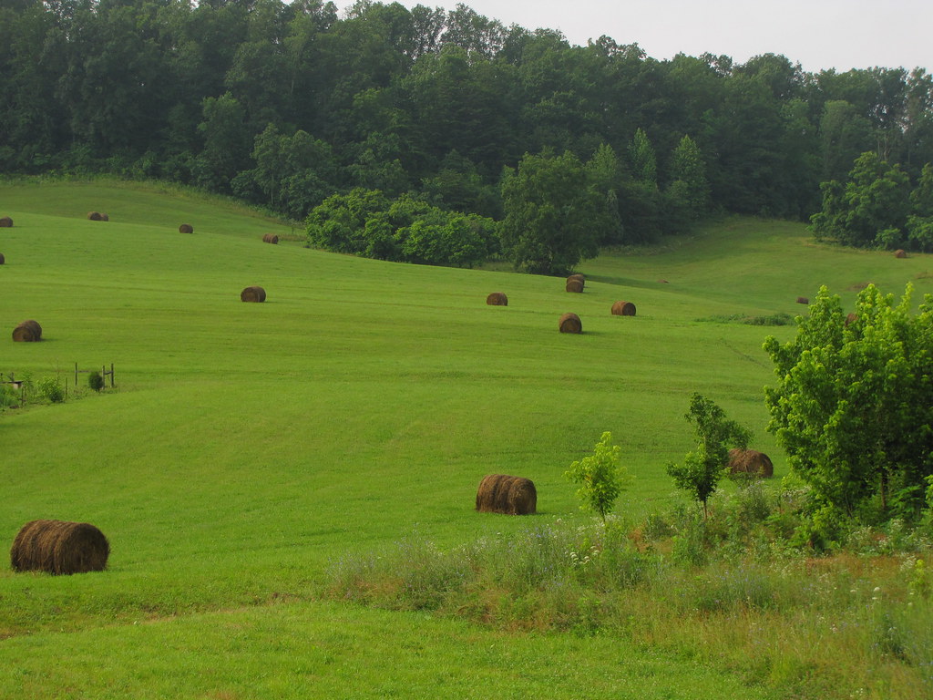
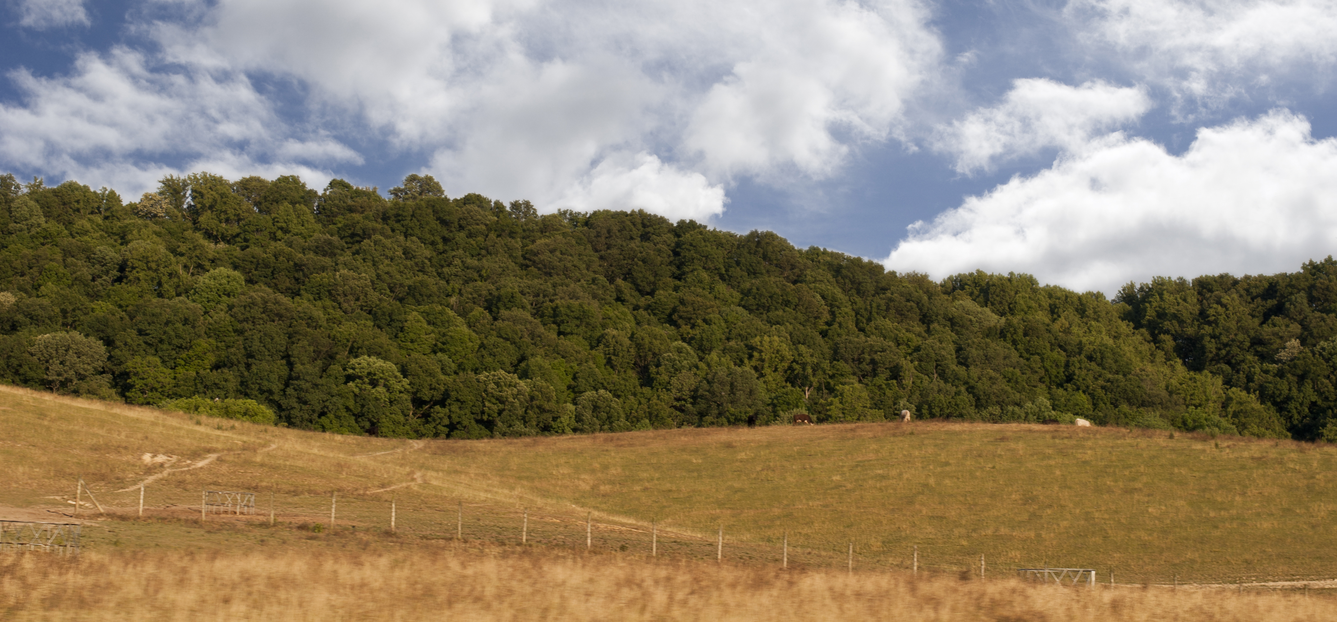
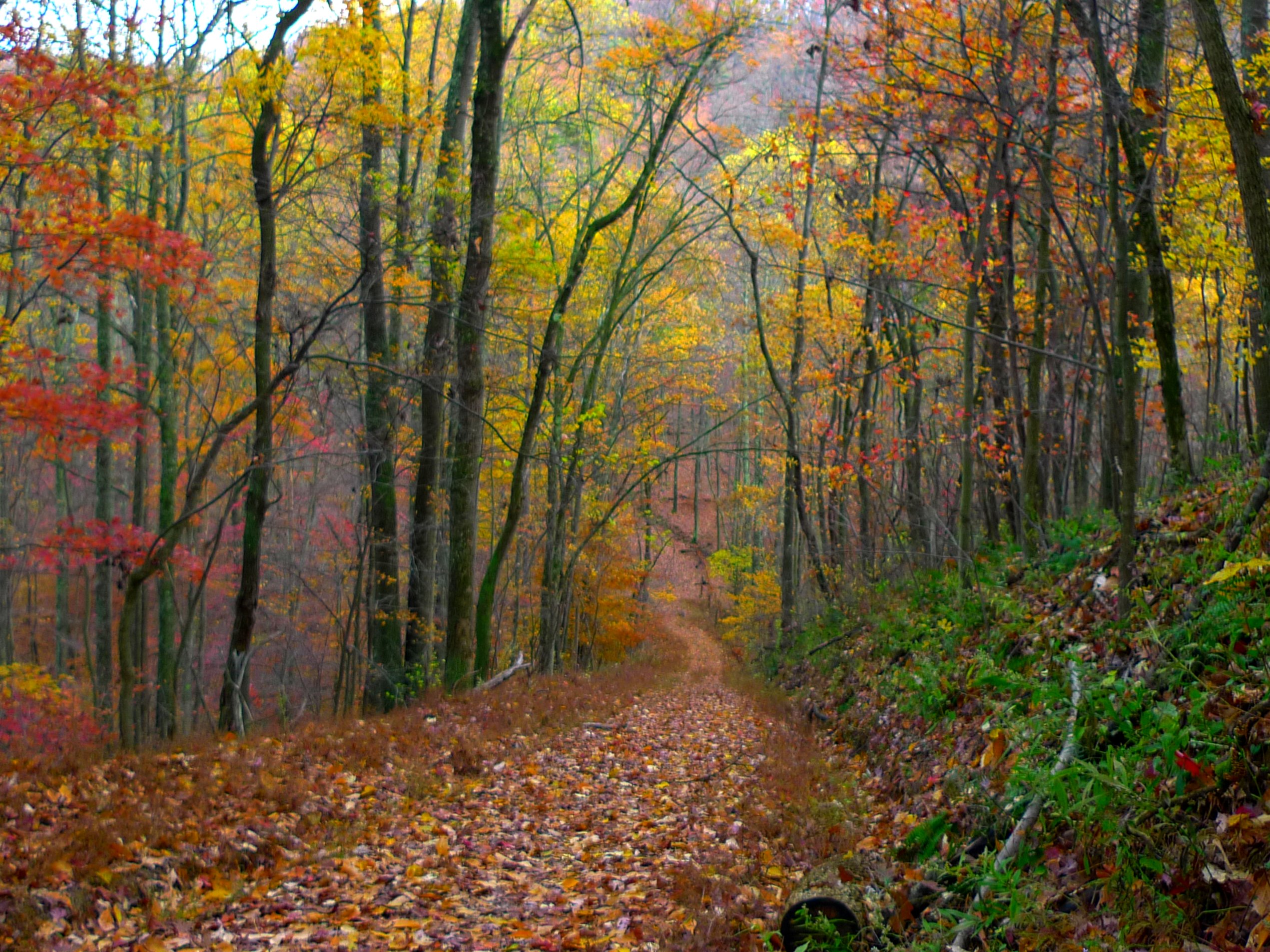
Tennessee Landscape
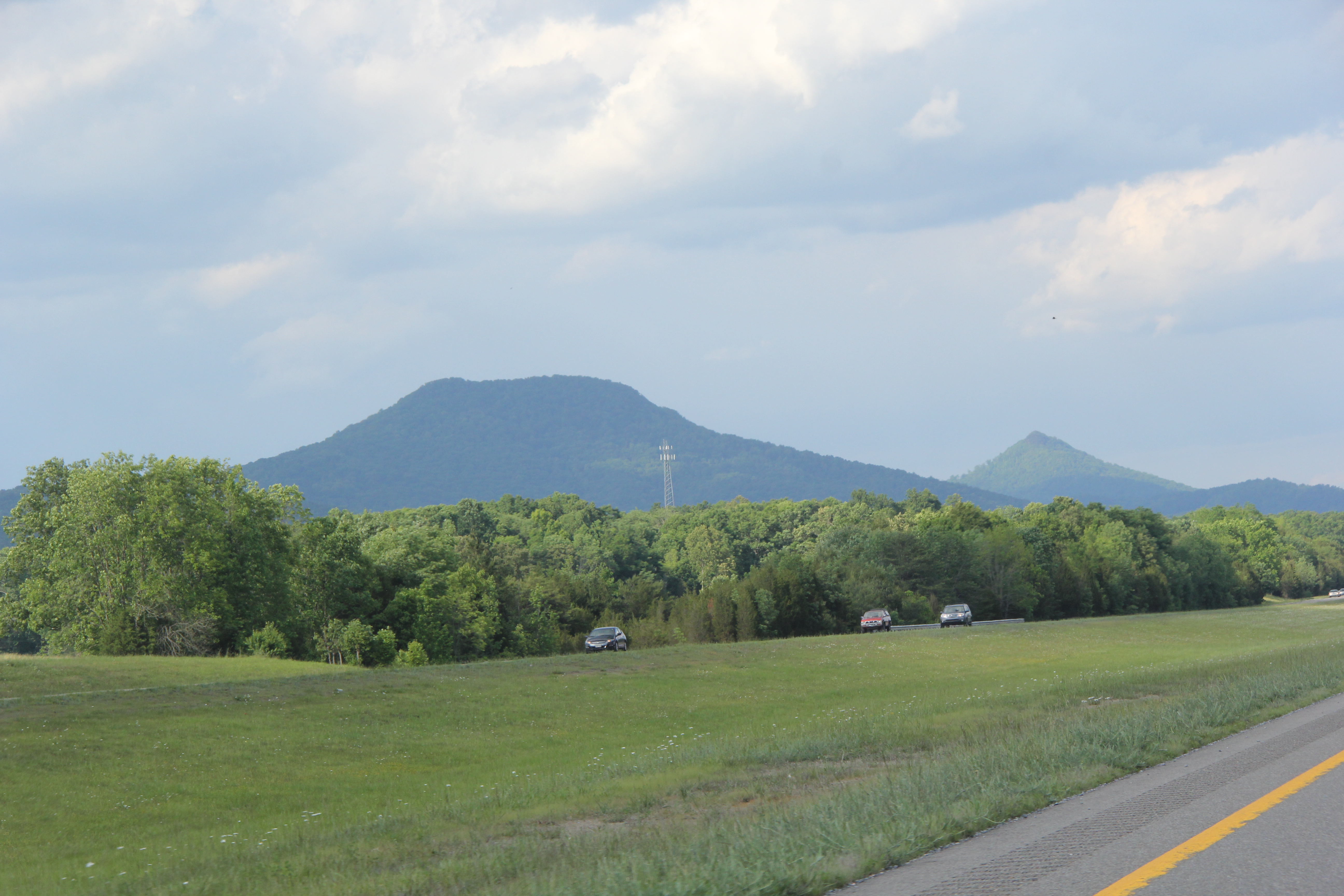
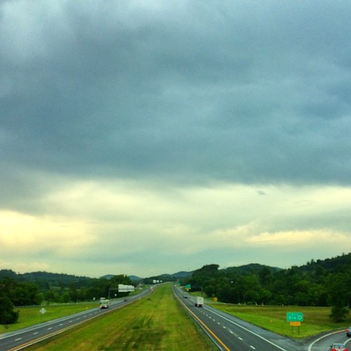
Tennessee Driving

Runnin' down a dream... and I'm so close to catchin' it. #cacamericorps

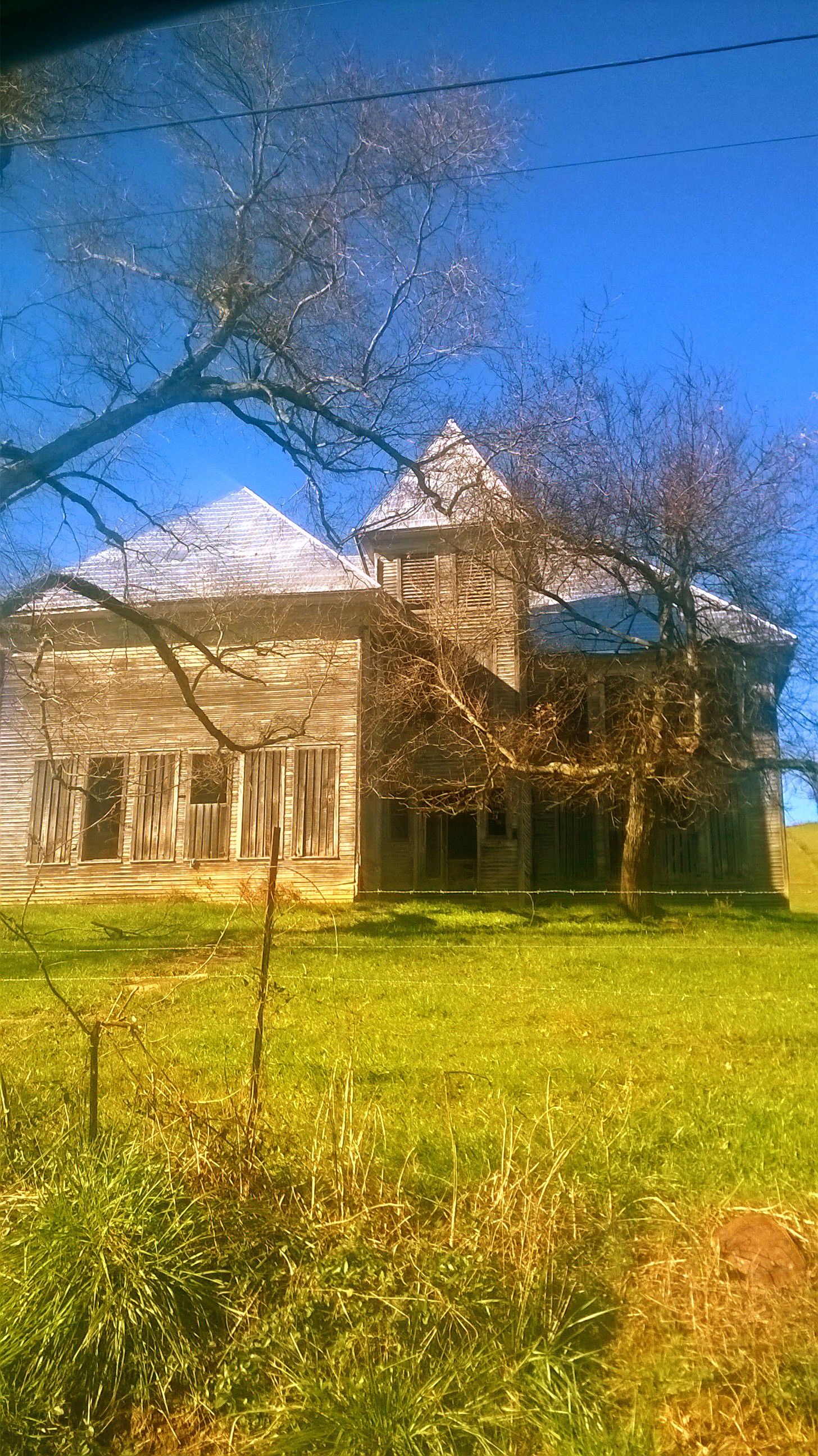
IMG_9300.JPG
Runs_Into_Horse_Creek_(14_of_14)
Luscious Landscape Layers
Open Road Tennessee #i81 #cloud #cloudporn #sky #skyporn #tennessee #igers #igers_philly #vsco #vscocam
Runs_Into_Horse_Creek_(2_of_14)
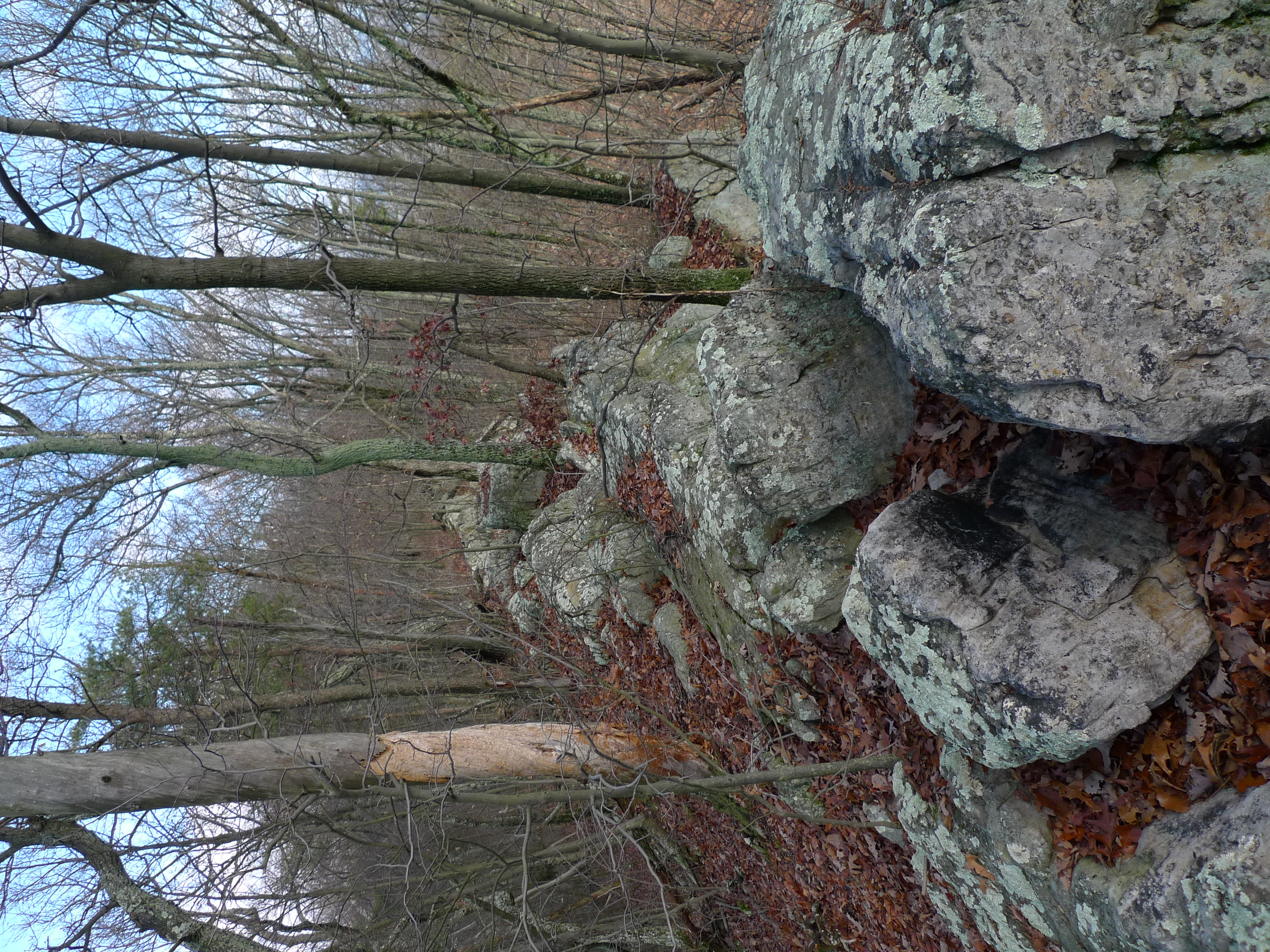
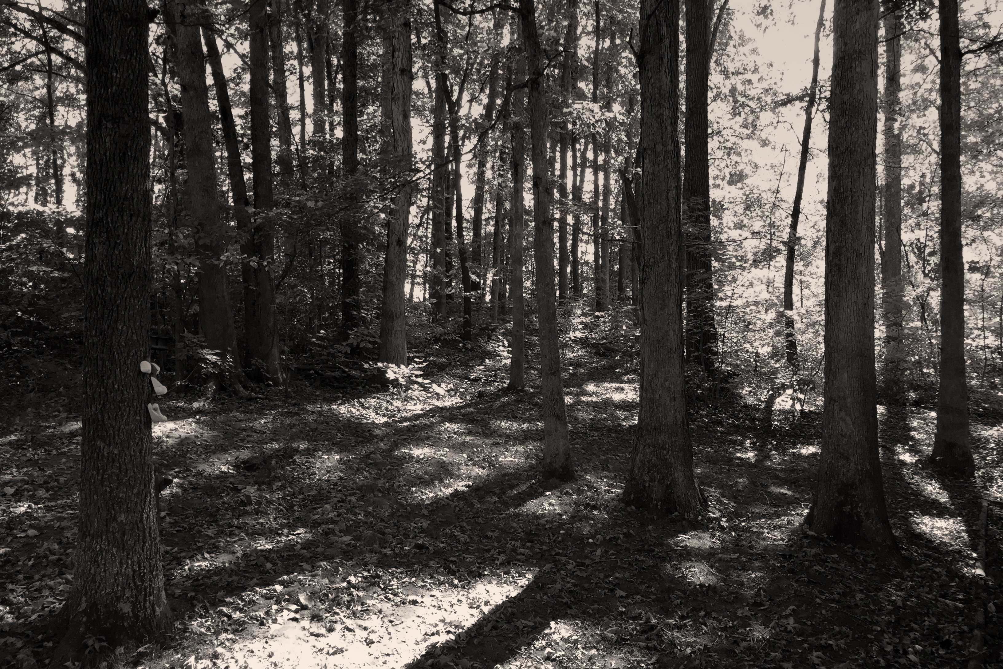
bays mountain trails
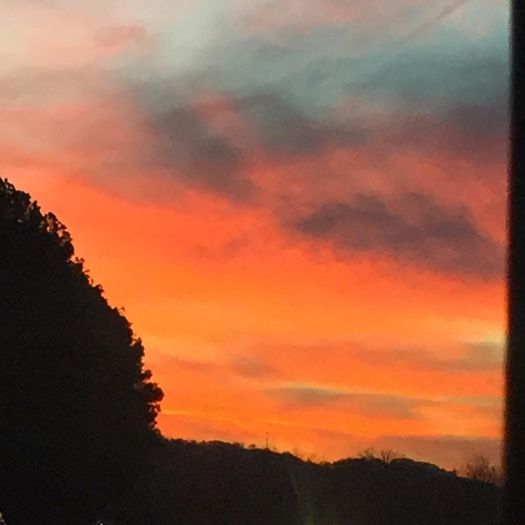
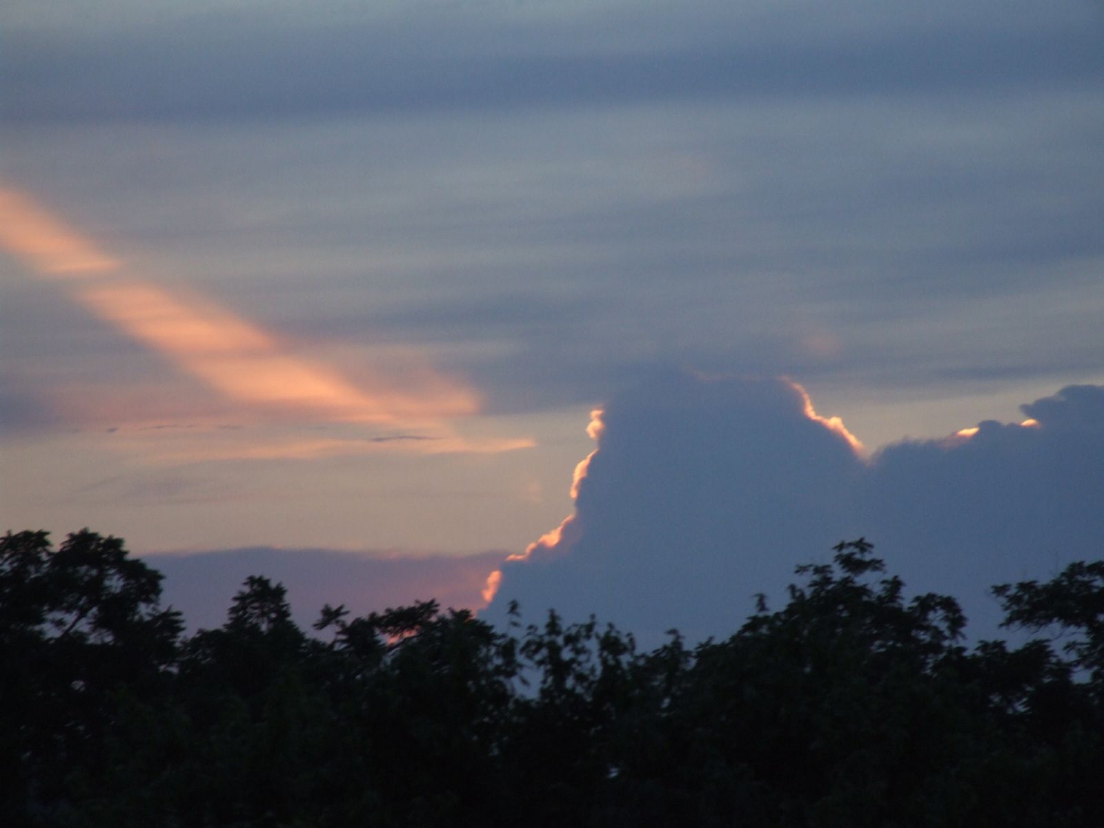
#sunsets #sunset
Topographic Map of Kingsport Hwy, Fall Branch, TN, USA
Find elevation by address:

Places near Kingsport Hwy, Fall Branch, TN, USA:
16540 Horton Hwy
1170 Jearoldstown Rd
Graysburg
386 Blackley Creek Rd
3105 Milburnton Rd
2147 Milburnton Rd
1885 Martin Rd
125 Keys Rd
1480 Martin Rd
195 Saylor Hill Rd
910 Graysburg Hills Rd
85 Dykes Hill Rd
485 Carson Creek Rd
255 Ralph Rhea Ln
275 W Pines Rd
910 Doty Chapel Rd
Doty Chapel Rd, Afton, TN, USA
4057 Us-11e
956 Lost Mountain Pike
330 Rheatown Rd
Recent Searches:
- Elevation of Corso Fratelli Cairoli, 35, Macerata MC, Italy
- Elevation of Tallevast Rd, Sarasota, FL, USA
- Elevation of 4th St E, Sonoma, CA, USA
- Elevation of Black Hollow Rd, Pennsdale, PA, USA
- Elevation of Oakland Ave, Williamsport, PA, USA
- Elevation of Pedrógão Grande, Portugal
- Elevation of Klee Dr, Martinsburg, WV, USA
- Elevation of Via Roma, Pieranica CR, Italy
- Elevation of Tavkvetili Mountain, Georgia
- Elevation of Hartfords Bluff Cir, Mt Pleasant, SC, USA