Elevation of Jearoldstown Rd, Chuckey, TN, USA
Location: United States > Tennessee > Greene County > Chuckey >
Longitude: -82.702303
Latitude: 36.361983
Elevation: 427m / 1401feet
Barometric Pressure: 96KPa
Elevation Map:
Satellite Map:
Related Photos:

Foggy View.

Feild View

Tennessee mountains
Along Kiner Creek

Reflections of the way life used to be

Mother and Son

Seniors & Best Friends Natalie & Bethany

Tennessee Landscape
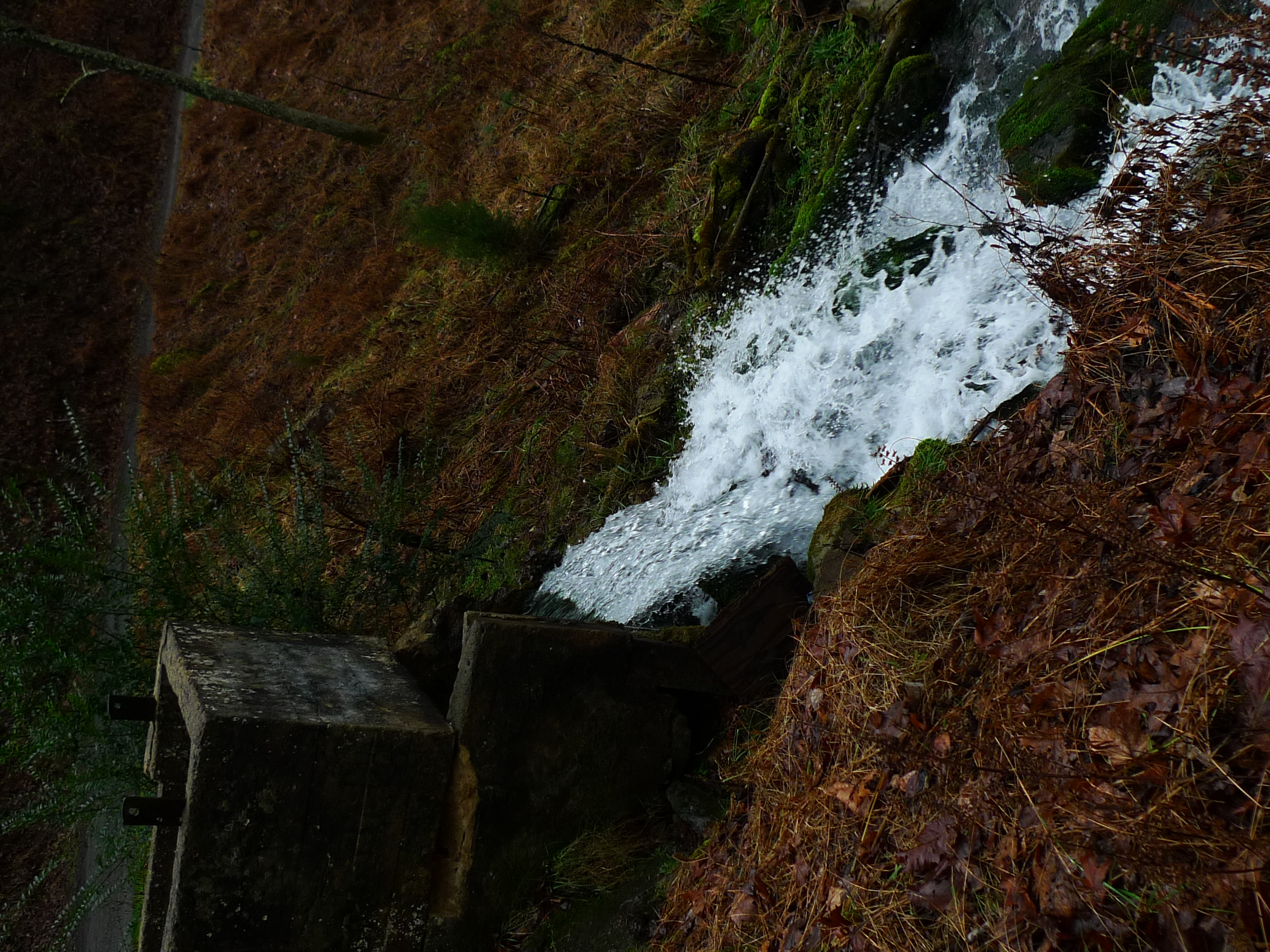
Roaring Springs

Dead But Dreaming
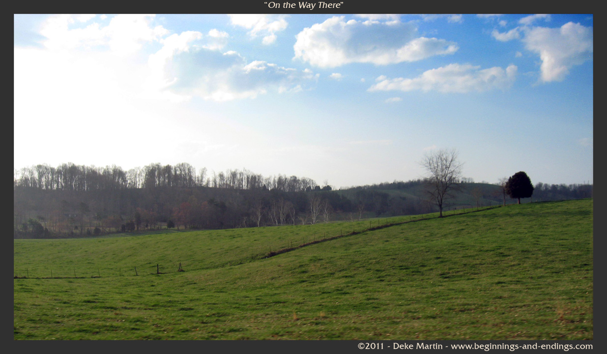
On the Way There

Kincheloe Fen

WP_20151120_002 (2)
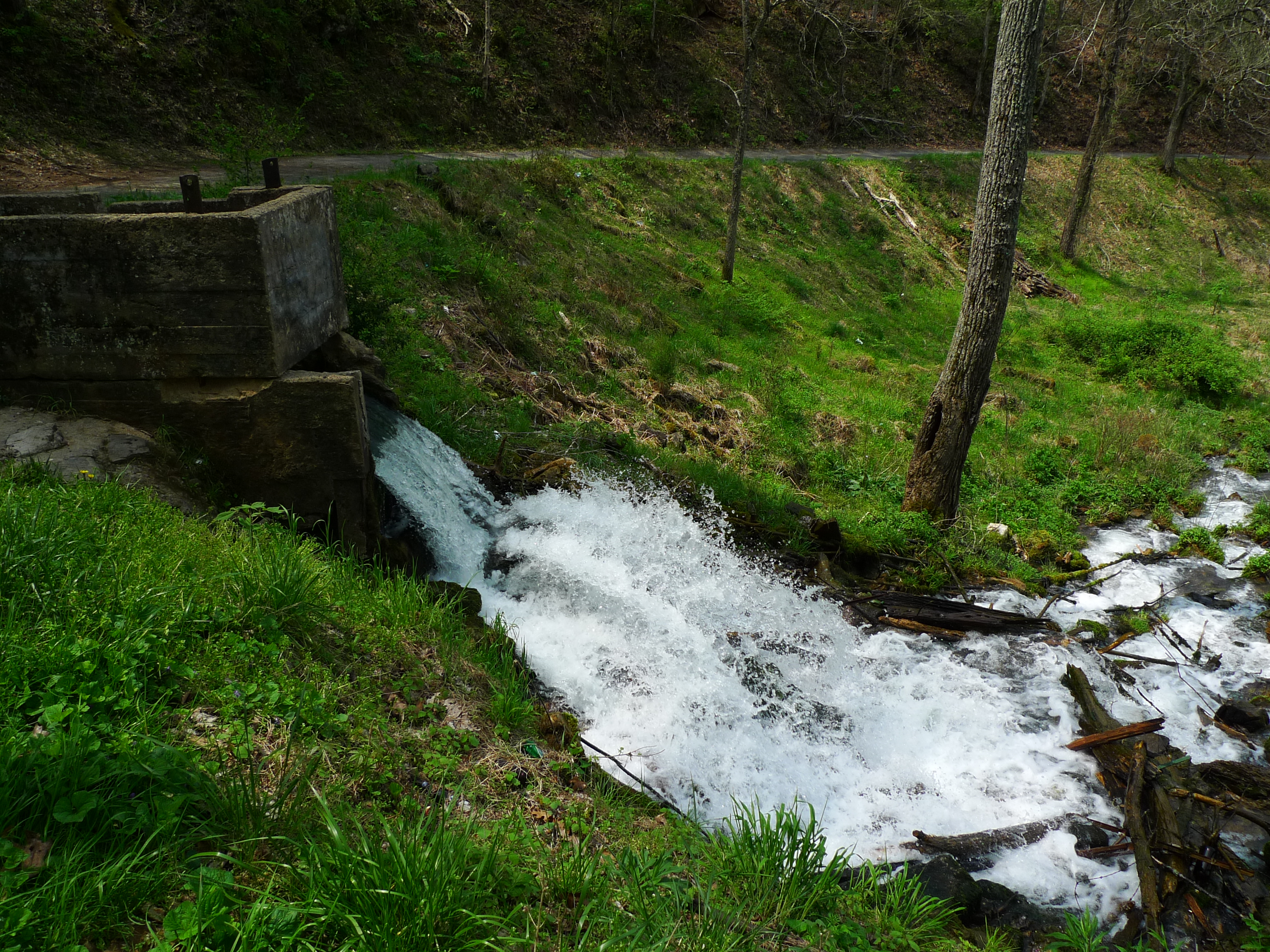
Roaring Springs

Roaring Springs

Lick Creek Bridge

Lick Creek Bridge

Tennessee Driving

Logger Falls

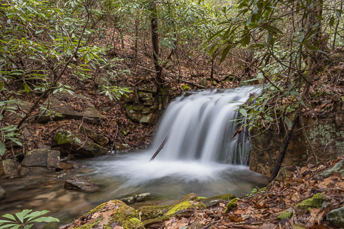
Kiner Creek Falls

Laurel Run Creek

68100117[2]

The Crossings Golf Course
Topographic Map of Jearoldstown Rd, Chuckey, TN, USA
Find elevation by address:

Places near Jearoldstown Rd, Chuckey, TN, USA:
16540 Horton Hwy
Kingsport Hwy, Fall Branch, TN, USA
Graysburg
910 Graysburg Hills Rd
275 W Pines Rd
2147 Milburnton Rd
3105 Milburnton Rd
255 Ralph Rhea Ln
1885 Martin Rd
386 Blackley Creek Rd
1480 Martin Rd
956 Lost Mountain Pike
125 Keys Rd
195 Saylor Hill Rd
85 Dykes Hill Rd
Doty Chapel Rd, Afton, TN, USA
910 Doty Chapel Rd
520 Dykes Rd
485 Carson Creek Rd
7175 Kingsport Hwy
Recent Searches:
- Elevation of Corso Fratelli Cairoli, 35, Macerata MC, Italy
- Elevation of Tallevast Rd, Sarasota, FL, USA
- Elevation of 4th St E, Sonoma, CA, USA
- Elevation of Black Hollow Rd, Pennsdale, PA, USA
- Elevation of Oakland Ave, Williamsport, PA, USA
- Elevation of Pedrógão Grande, Portugal
- Elevation of Klee Dr, Martinsburg, WV, USA
- Elevation of Via Roma, Pieranica CR, Italy
- Elevation of Tavkvetili Mountain, Georgia
- Elevation of Hartfords Bluff Cir, Mt Pleasant, SC, USA