Elevation map of Kindia Prefecture, Guinea
Location: Guinea > Kindia >
Longitude: -12.713512
Latitude: 10.1013292
Elevation: 113m / 371feet
Barometric Pressure: 100KPa
Elevation Map:
Satellite Map:
Related Photos:

20130623-DSC_9426

Suddenly, I didn't feel so uncomfortable ...

20130623-DSC_9429

20130623-DSC_9428

Day232-Face-130623

manche Buschtaxi sind böse überladen

Gebetspause in Siguiton

Kids Toys, Kolente
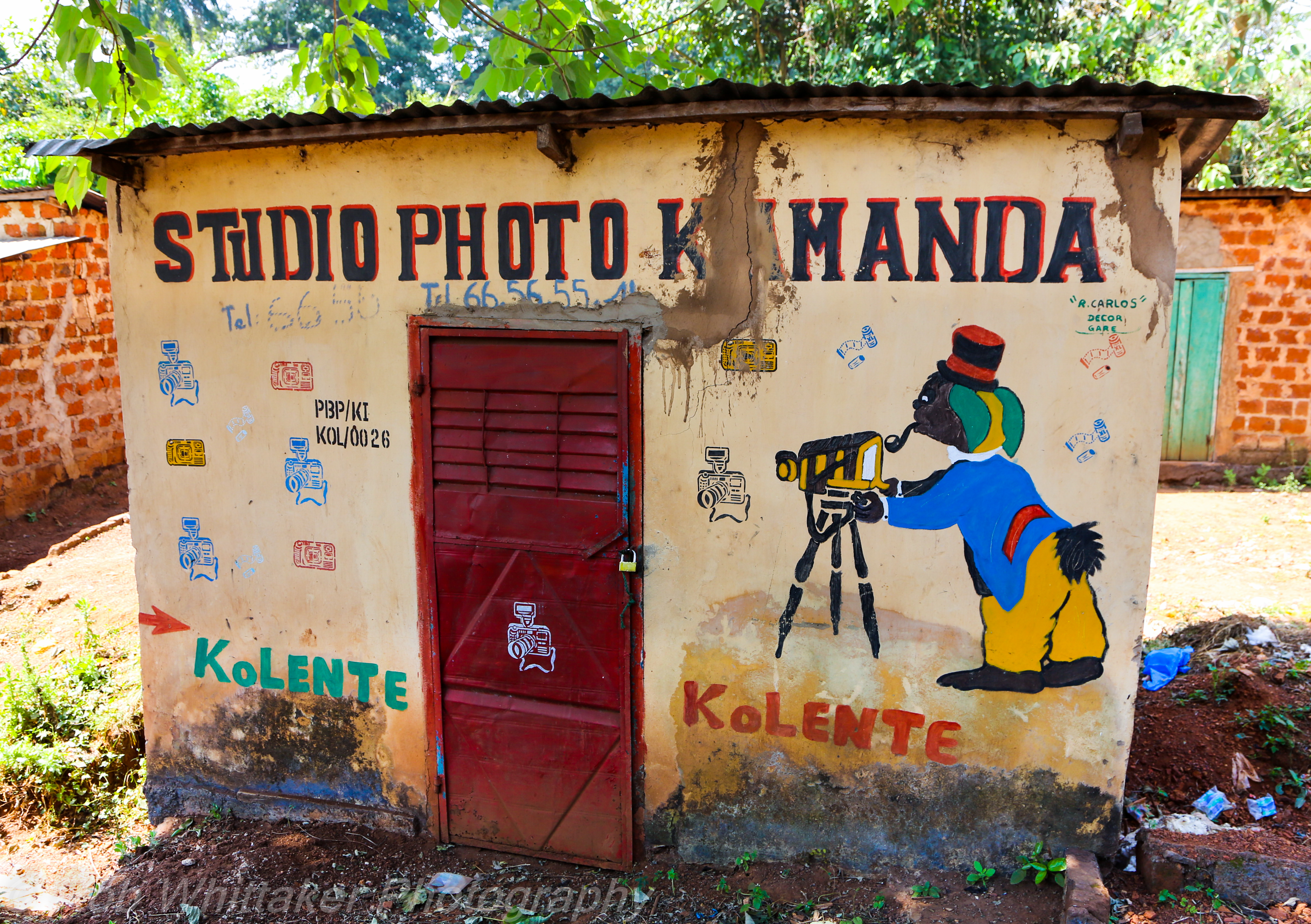
Painted Camera Shop Kolente
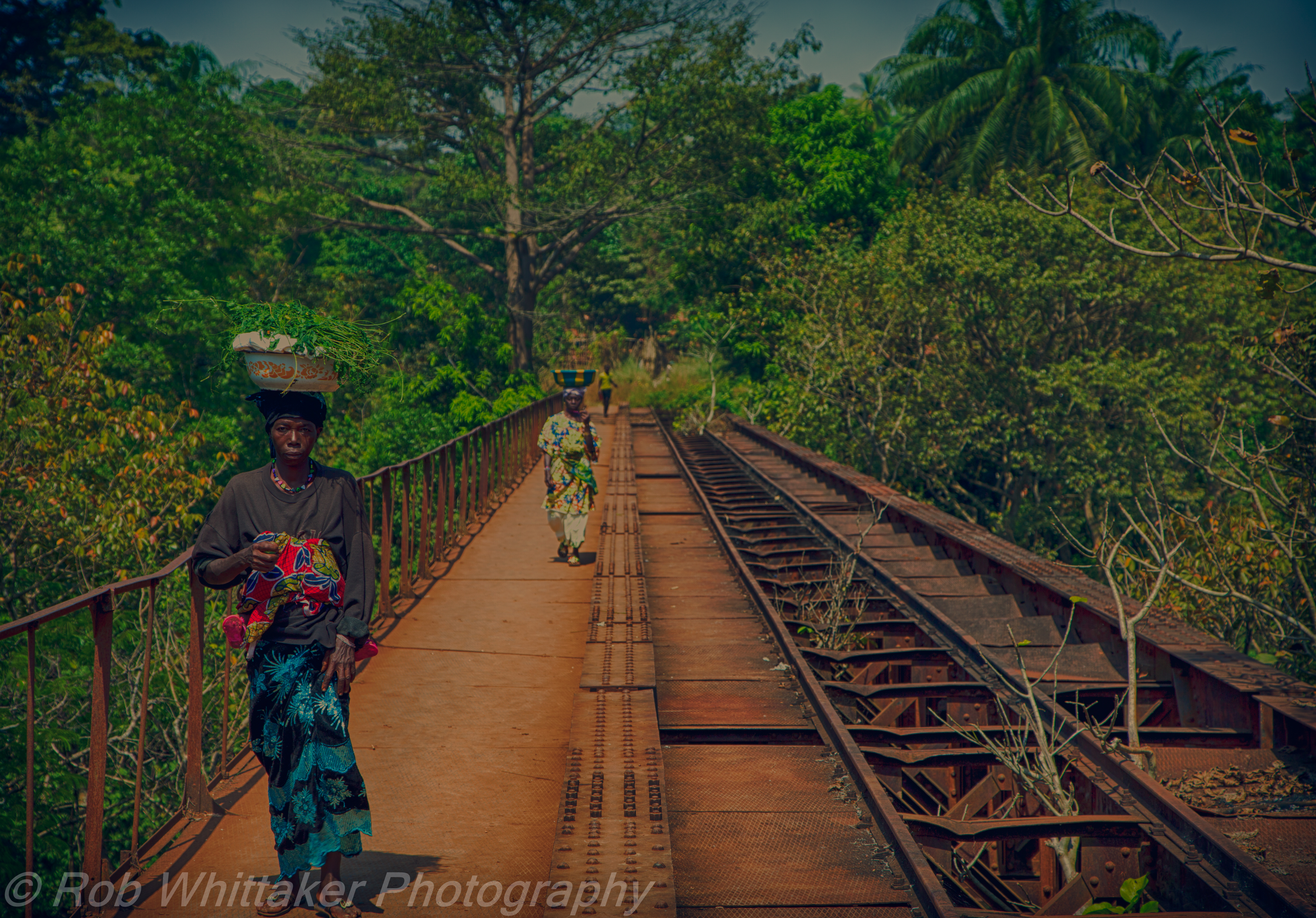
Rickety Railway Bridge

20130623-DSC_9430
Topographic Map of Kindia Prefecture, Guinea
Find elevation by address:

Places in Kindia Prefecture, Guinea:
Places near Kindia Prefecture, Guinea:
Recent Searches:
- Elevation of Corso Fratelli Cairoli, 35, Macerata MC, Italy
- Elevation of Tallevast Rd, Sarasota, FL, USA
- Elevation of 4th St E, Sonoma, CA, USA
- Elevation of Black Hollow Rd, Pennsdale, PA, USA
- Elevation of Oakland Ave, Williamsport, PA, USA
- Elevation of Pedrógão Grande, Portugal
- Elevation of Klee Dr, Martinsburg, WV, USA
- Elevation of Via Roma, Pieranica CR, Italy
- Elevation of Tavkvetili Mountain, Georgia
- Elevation of Hartfords Bluff Cir, Mt Pleasant, SC, USA