Elevation of Kindia, Guinea
Location: Guinea > Kindia > Kindia Prefecture >
Longitude: -12.862988
Latitude: 10.0406725
Elevation: 439m / 1440feet
Barometric Pressure: 96KPa
Elevation Map:
Satellite Map:
Related Photos:

20130623-DSC_9426
20130623-DSC_9431

20130623-DSC_9433

20130623-DSC_9432

Voile de la mariée

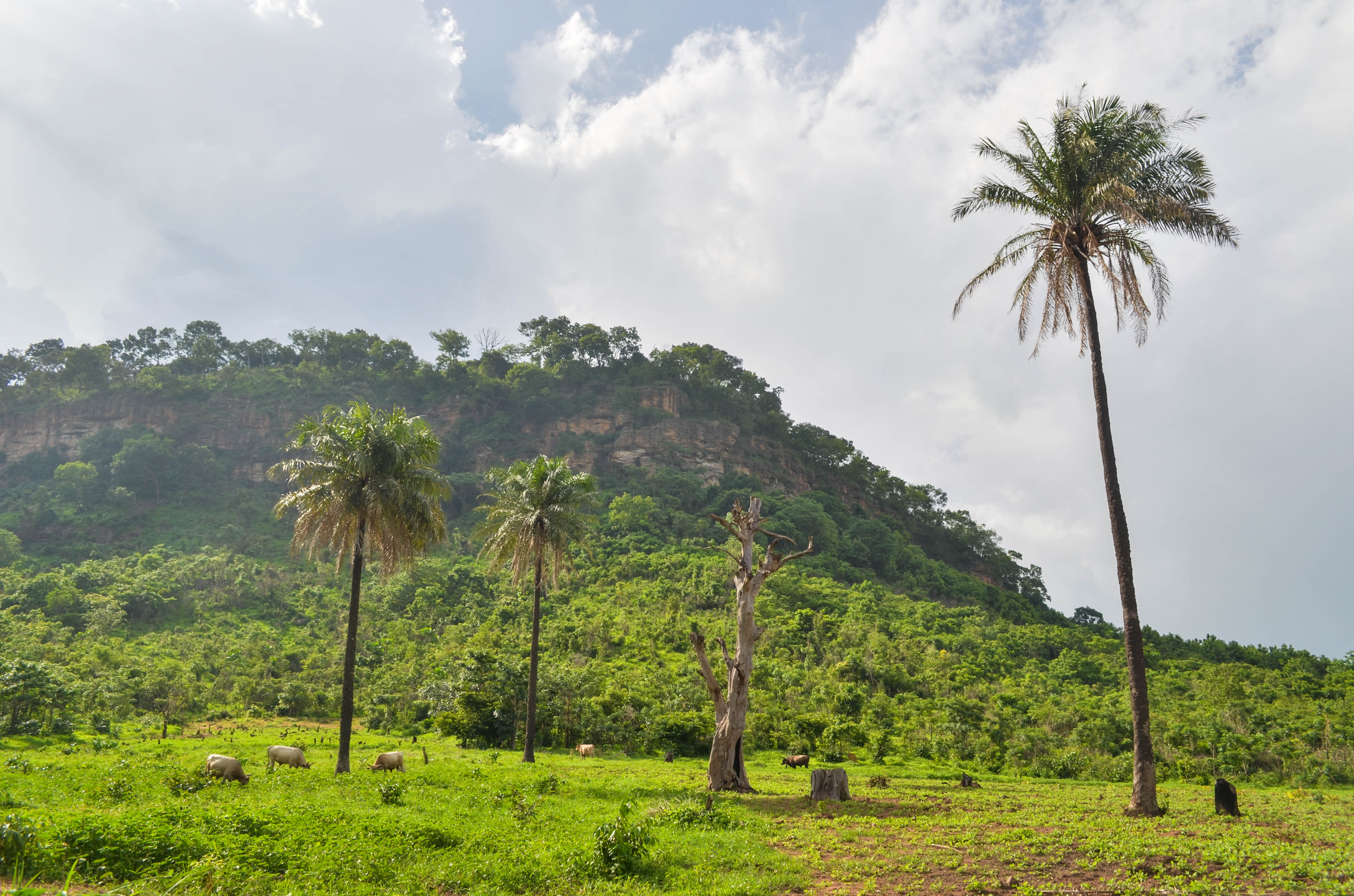
Kindia, N1

Suddenly, I didn't feel so uncomfortable ...

Brushing Teeth

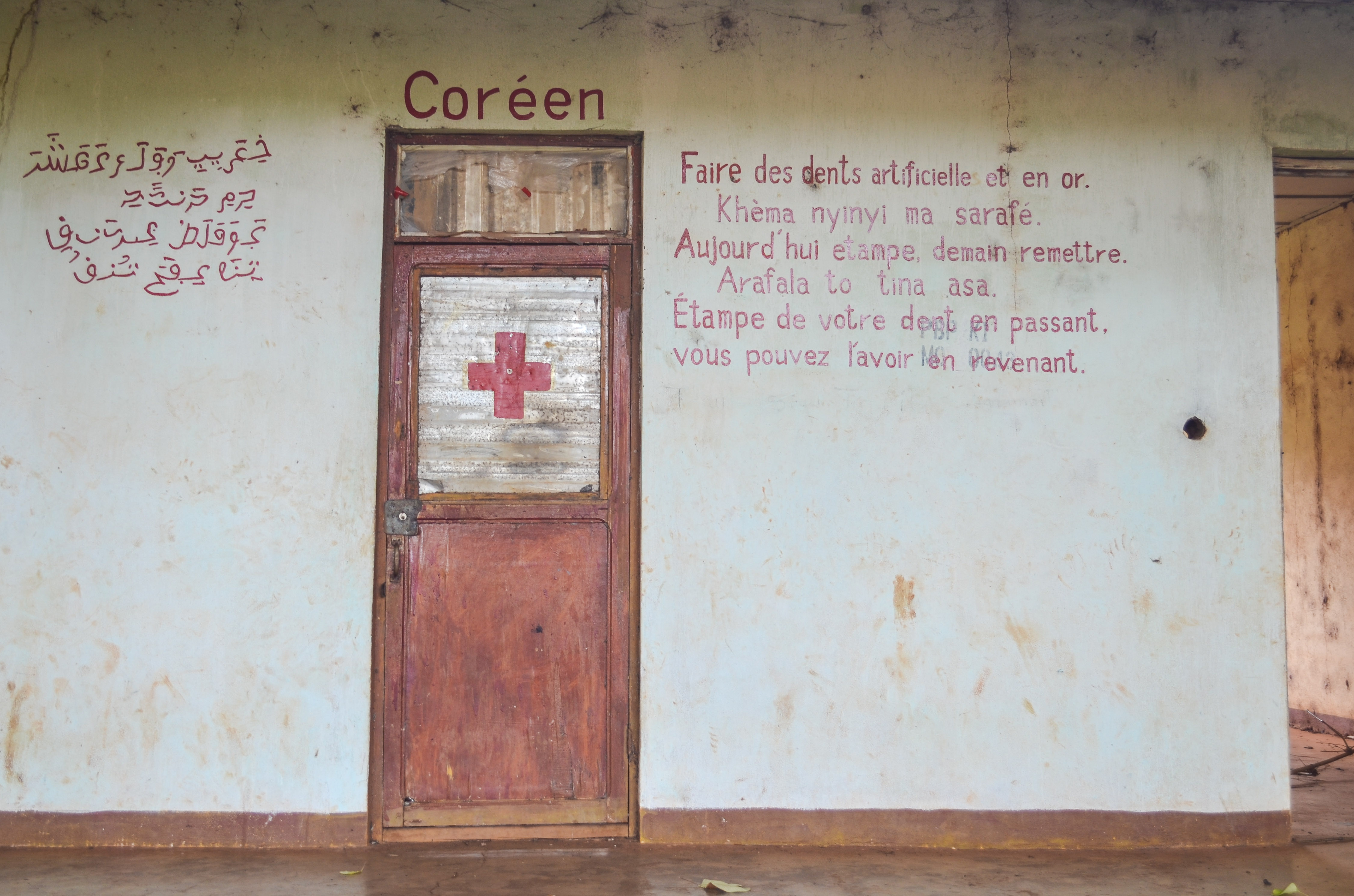
To Be Determined
20130623-DSC_9436

20130623-DSC_9429

20130623-DSC_9428

Day232-Face-130623

Hotel La Mangrove
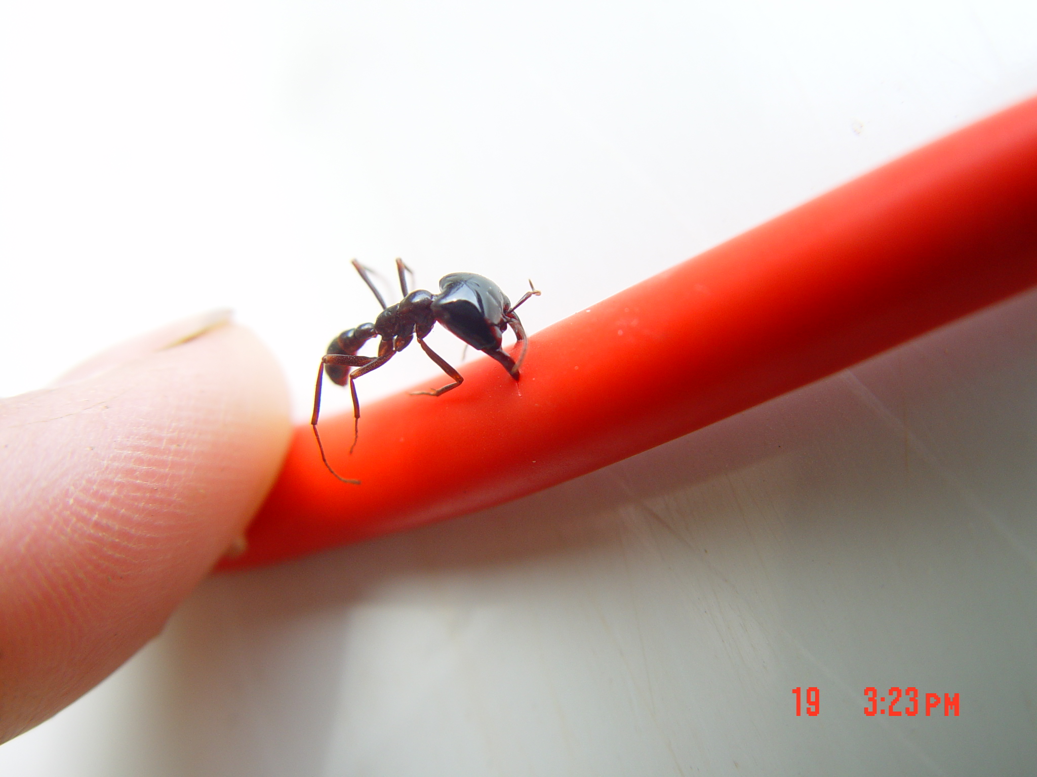
ant on croakie

ant on croakie 2

Weaver finch nests

Restaurant Gastronomique Michou
Topographic Map of Kindia, Guinea
Find elevation by address:

Places near Kindia, Guinea:
Recent Searches:
- Elevation of Corso Fratelli Cairoli, 35, Macerata MC, Italy
- Elevation of Tallevast Rd, Sarasota, FL, USA
- Elevation of 4th St E, Sonoma, CA, USA
- Elevation of Black Hollow Rd, Pennsdale, PA, USA
- Elevation of Oakland Ave, Williamsport, PA, USA
- Elevation of Pedrógão Grande, Portugal
- Elevation of Klee Dr, Martinsburg, WV, USA
- Elevation of Via Roma, Pieranica CR, Italy
- Elevation of Tavkvetili Mountain, Georgia
- Elevation of Hartfords Bluff Cir, Mt Pleasant, SC, USA