Elevation of Kime Hut, Wellington, New Zealand
Location: New Zealand > Wellington > Hautere >
Longitude: 175.271742
Latitude: -40.942836
Elevation: 1401m / 4596feet
Barometric Pressure: 86KPa
Elevation Map:
Satellite Map:
Related Photos:

That Old Farm Shed again

Parson's Bird - New Zealand Tui (Explore!)

New Zealand Tui

Female Paradise Shelduck

Such Sweet Waters

On Vacation...!

"Aaahhh... That Hit The Spot...!"

The Day Was Just Getting Better And Better...

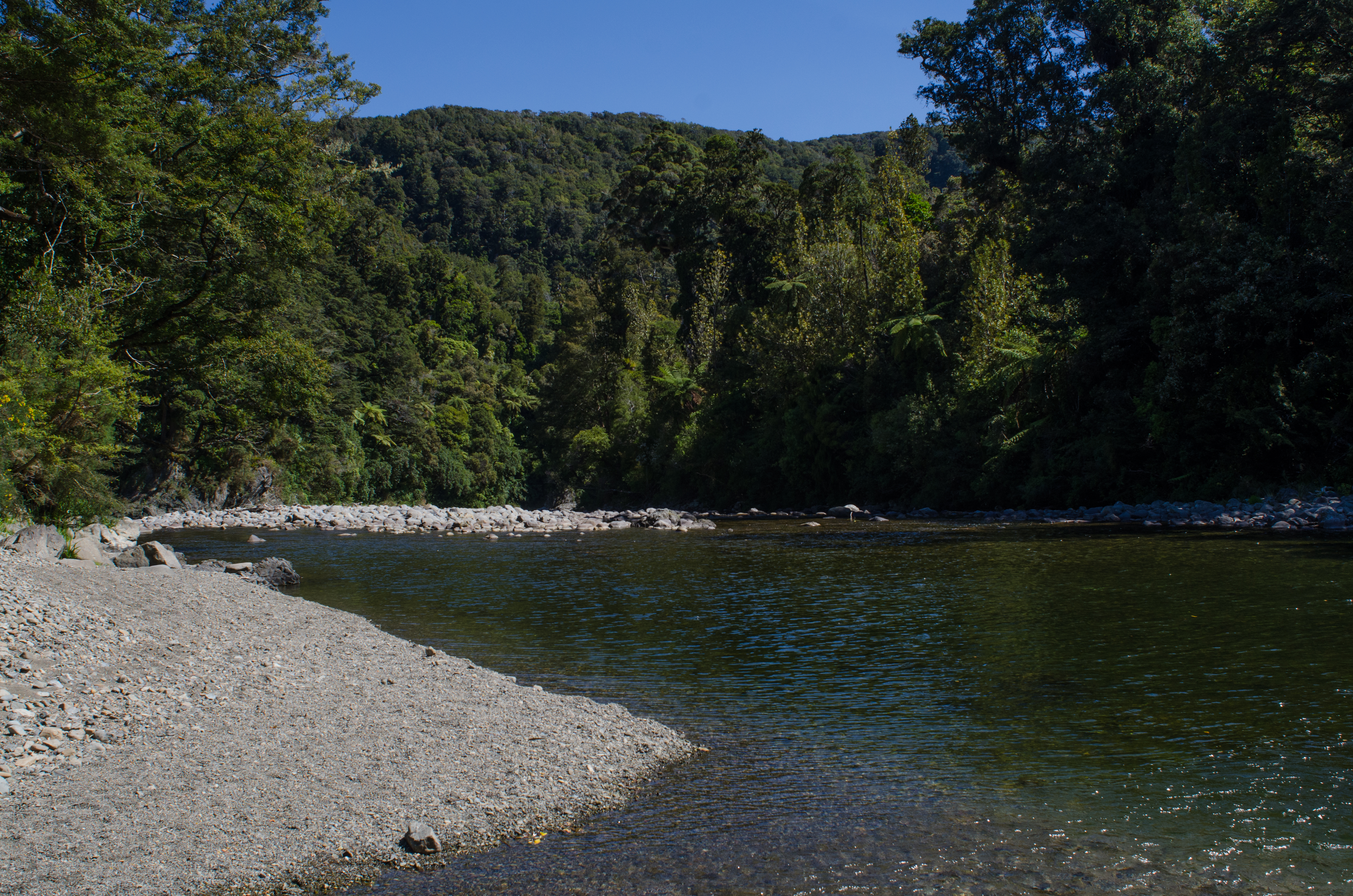
The Bridge Over Otaki Gorge
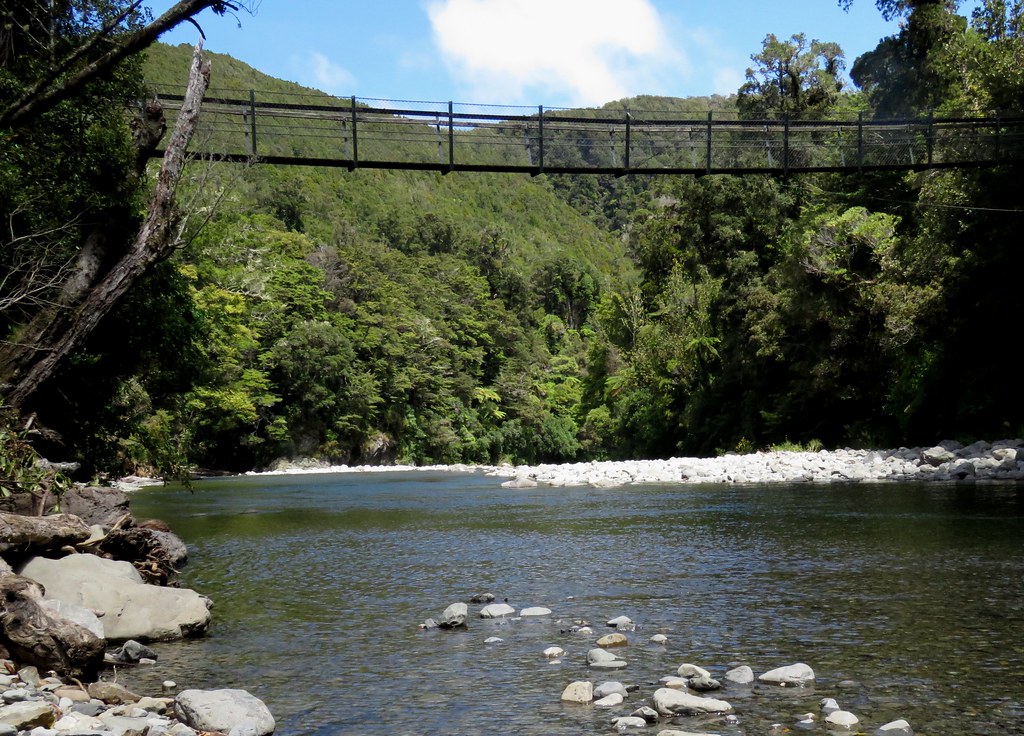
A Very Mobile Swing Bridge

The Way We Were
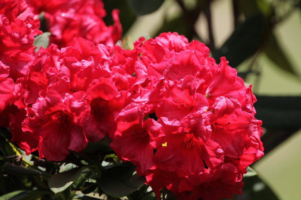
A Splash Of Colour

Graceful...!

Stealth Duck

His Royal Higness

Tararua interior, near Mount Hector, Tararua Southern Crossing

Mt Holdsworth - Tararua Ranges

Towards Mount Hector, Tararua Southern Crossing

Views from Kapakapanui Summit Mar 2013

Fallen Tree on Kakakapanui Track Mar 2013

The Wairarapa Valley

Rivendell Bridge
the life

Hector's Throne

Against the flow
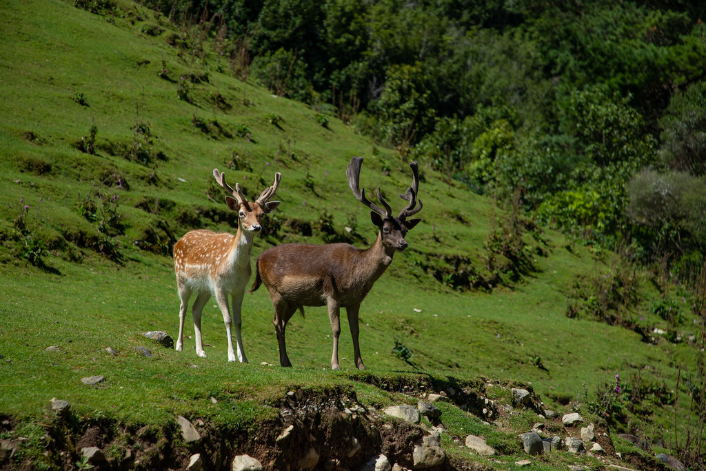
Oh Deer!

my patch

Dick Dreaming

In-stream
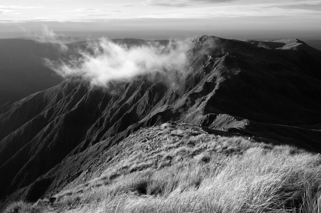
cloud, sea, mountain

Tree arches Kapakapanui Track Mar 2013

Tony with Totara Flats in background Feb 2013
Sun through trees Kapakapanui Track Mar 2013
Kaitoke Regional Park

Dick Original

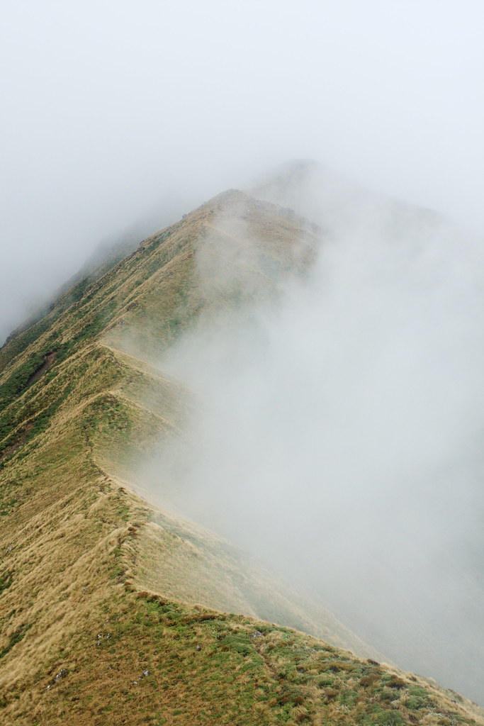
Clouds rolling in...

Tararua [Featherston]

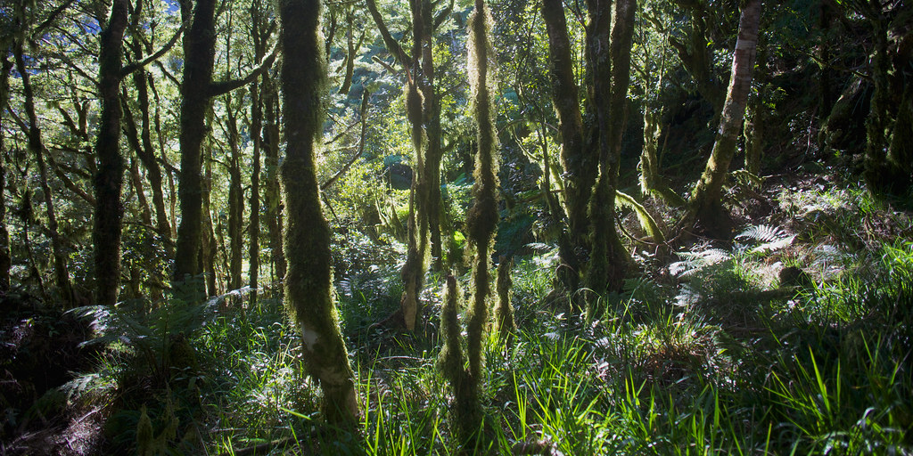
Lush Bush past Swingbridge Eastern Hutt River Kaitoke Regional Park Sep 2012
Topographic Map of Kime Hut, Wellington, New Zealand
Find elevation by address:

Places near Kime Hut, Wellington, New Zealand:
Mount Hector
Parawai Lodge
Otaki Forks
Waitewaewae Hut
Kapiti Coast District
Totara Flats Hut
Unnamed Road
Tararua Forest Park
Powell Hut
99 Watt Street
99 Watt Street
Wellington
13 Donald Street
Hautere
Jumbo Hut
Dorset Ridge Hut
Waikanae
265 No 1 Line
Tarn Ridge Hut
70 Kapanui Rd
Recent Searches:
- Elevation of Corso Fratelli Cairoli, 35, Macerata MC, Italy
- Elevation of Tallevast Rd, Sarasota, FL, USA
- Elevation of 4th St E, Sonoma, CA, USA
- Elevation of Black Hollow Rd, Pennsdale, PA, USA
- Elevation of Oakland Ave, Williamsport, PA, USA
- Elevation of Pedrógão Grande, Portugal
- Elevation of Klee Dr, Martinsburg, WV, USA
- Elevation of Via Roma, Pieranica CR, Italy
- Elevation of Tavkvetili Mountain, Georgia
- Elevation of Hartfords Bluff Cir, Mt Pleasant, SC, USA