Elevation of Kilkare Woods Association, Glenora Way, Sunol, CA, USA
Location: United States > California > Alameda County > Sunol >
Longitude: -121.91640
Latitude: 37.6312559
Elevation: 273m / 896feet
Barometric Pressure: 98KPa
Elevation Map:
Satellite Map:
Related Photos:

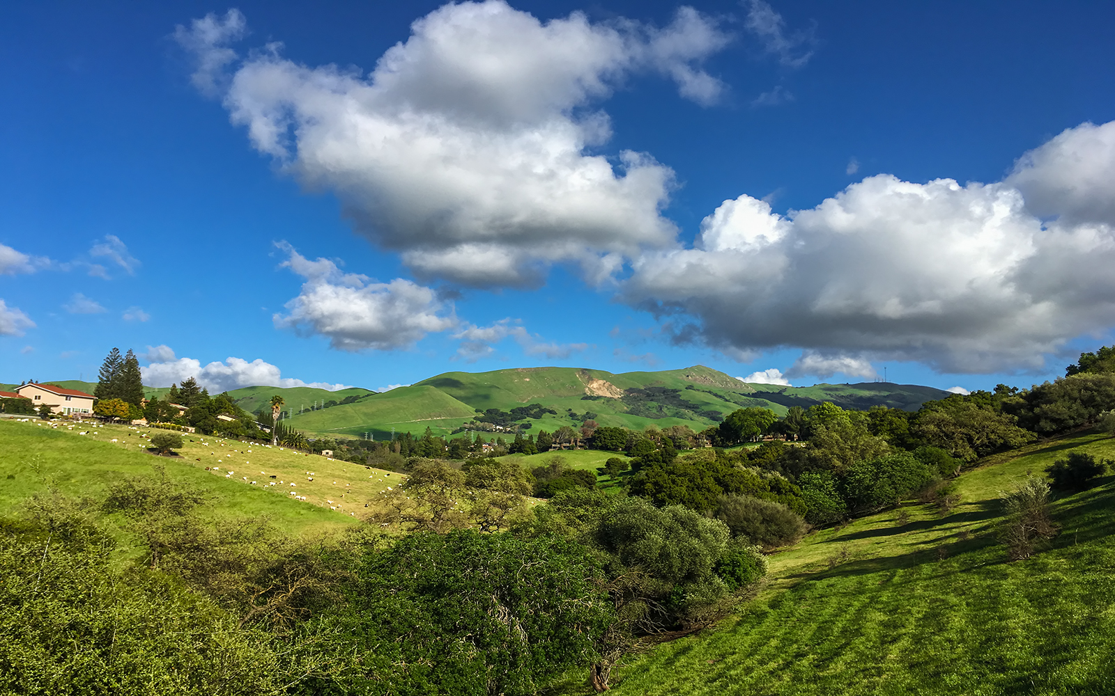
mY first HDR
JA Lewis Park 20150326
Dawn Hikers - Mission Peak

Dumpster's Point of View

Fluorescein Dye under Blue Light
san mateo bridge overnight work b

Fluorescein Dye

DOF Waterdrops

wheels on fire
Dew Droplet
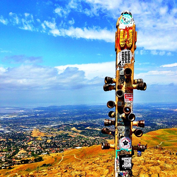
Hiked up Mission Peak! Great view of the East Bay!
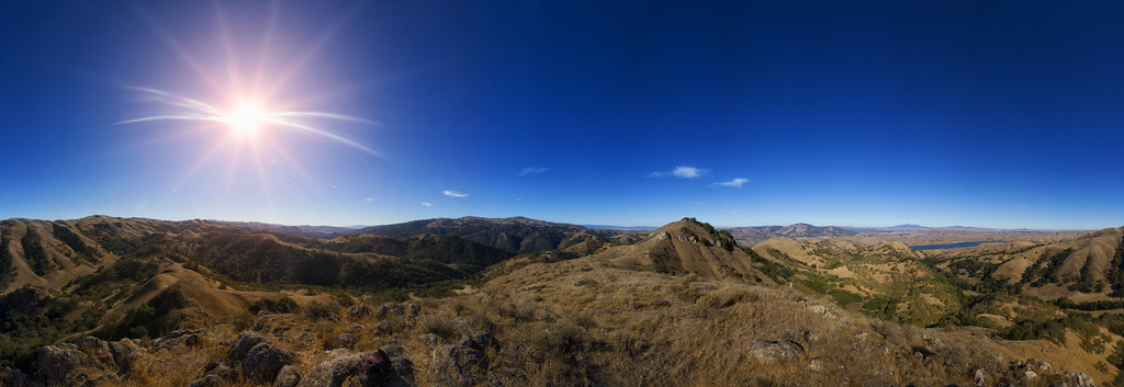
View from Maguire Peaks

Red / Blue Waterdrop
picture perfect

Ever Seen the Movie Duel?
Empty seats at the stadium

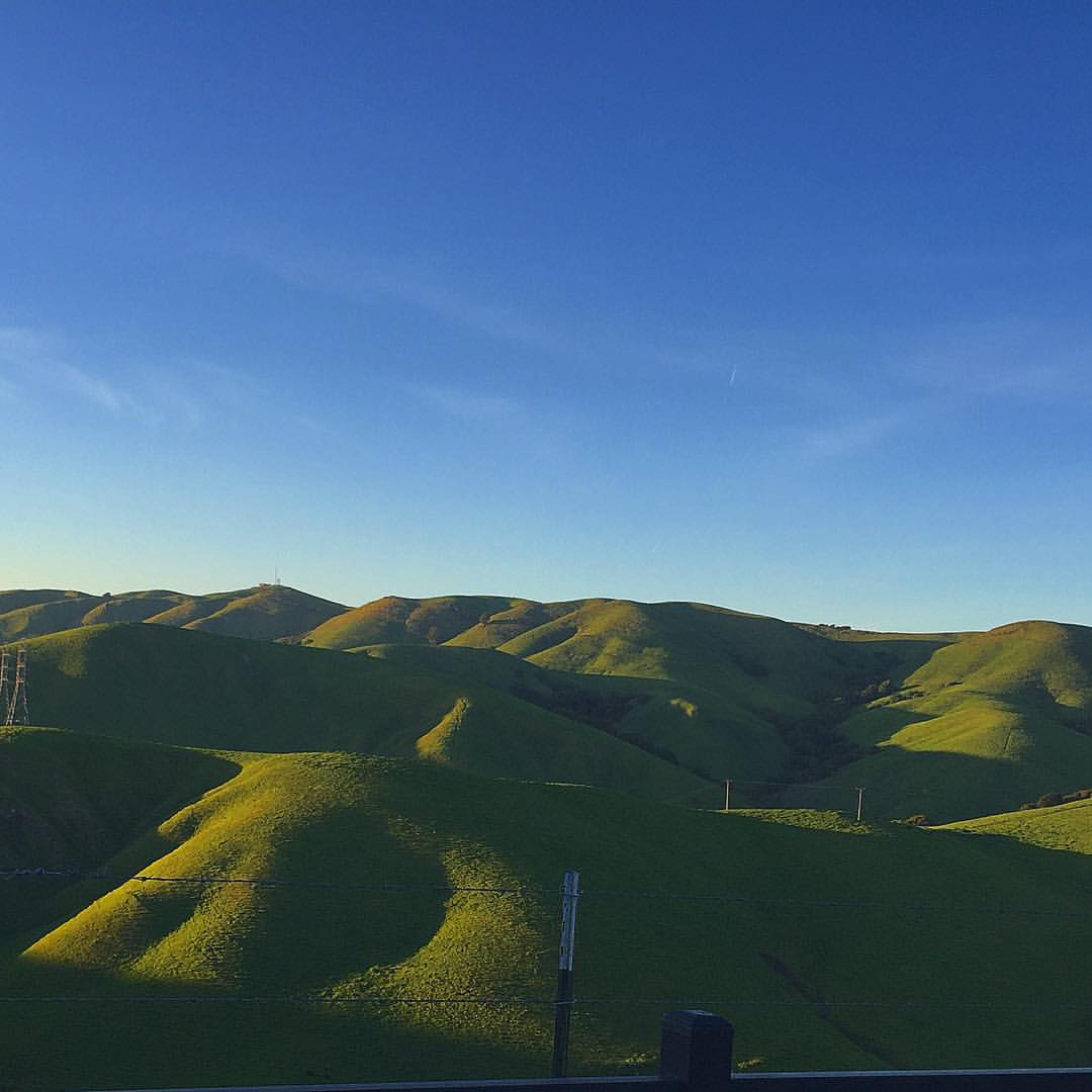
Night View of Tri-Valley
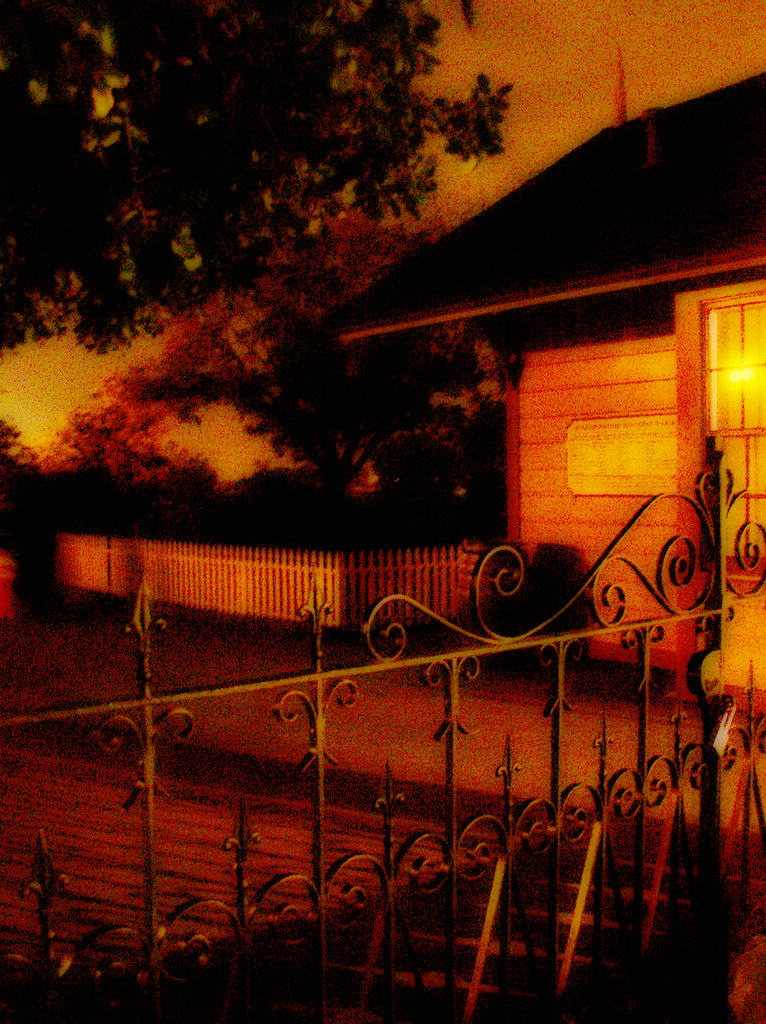
do you dare venture beyond?
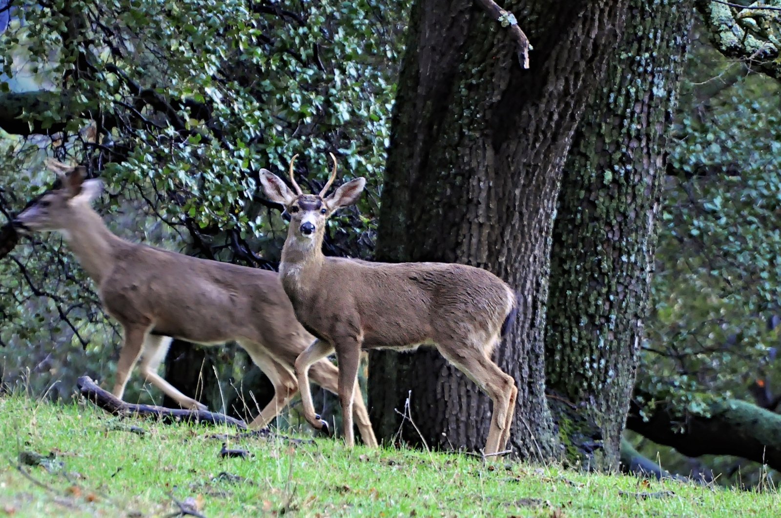
Watching the watcher
Steep targets

park and ride
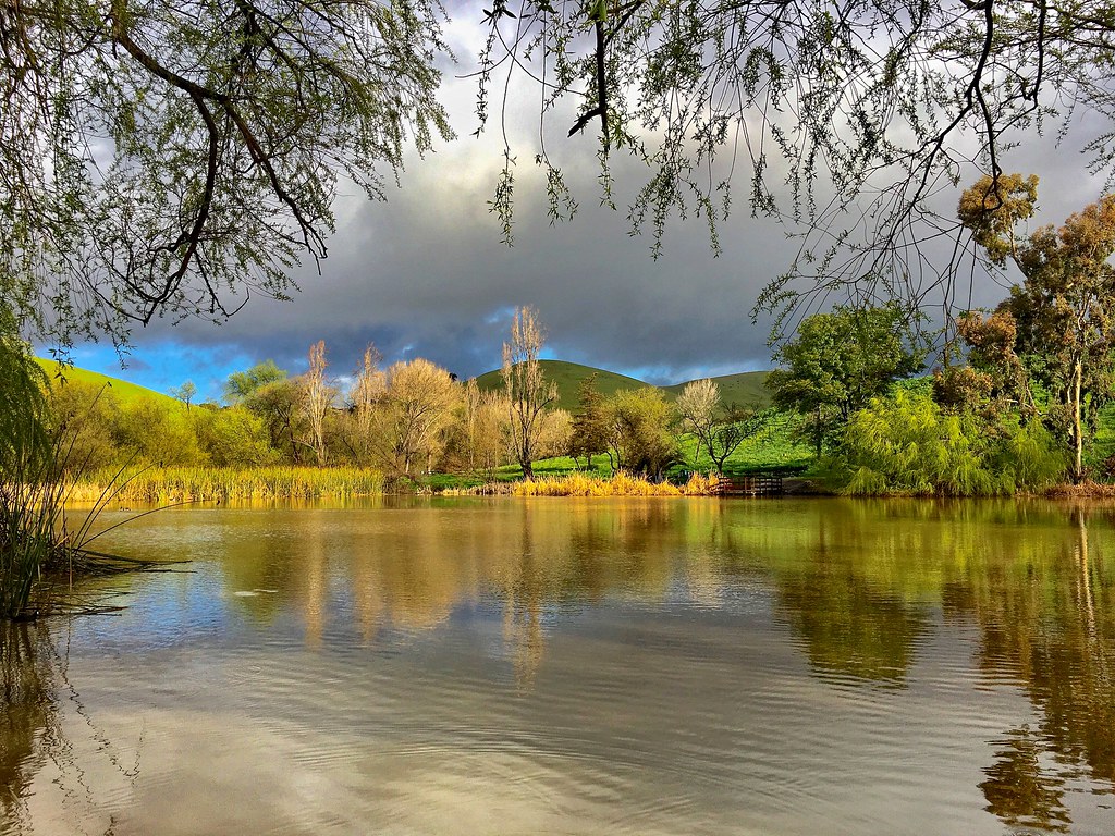
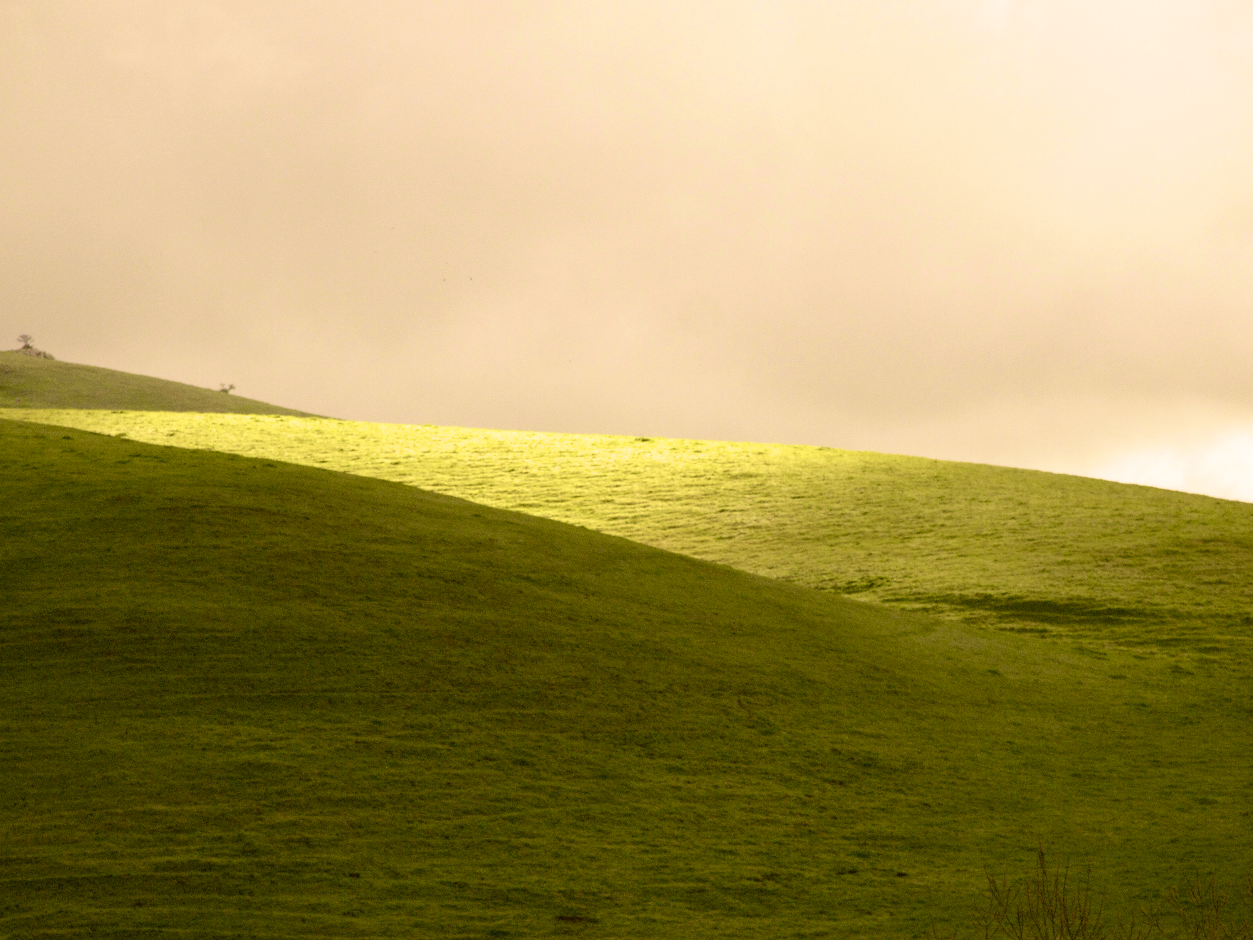
rain and sun alternating

Garin Regional Park

Mustard field
iPhone 5se test

Don Castro Regional 20150317

Easy way down
Garin Regional 20150204
Garin 20150227
Something about these hills...remind me of Shrek.

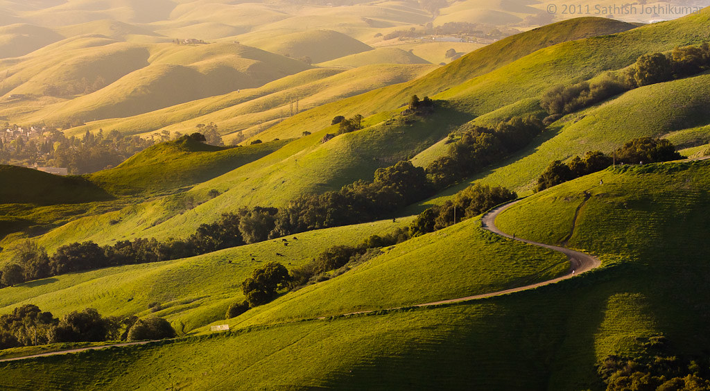
spring all the way
Garin 20150227
Sunol Spring Hillside No.01
Garin 20150227
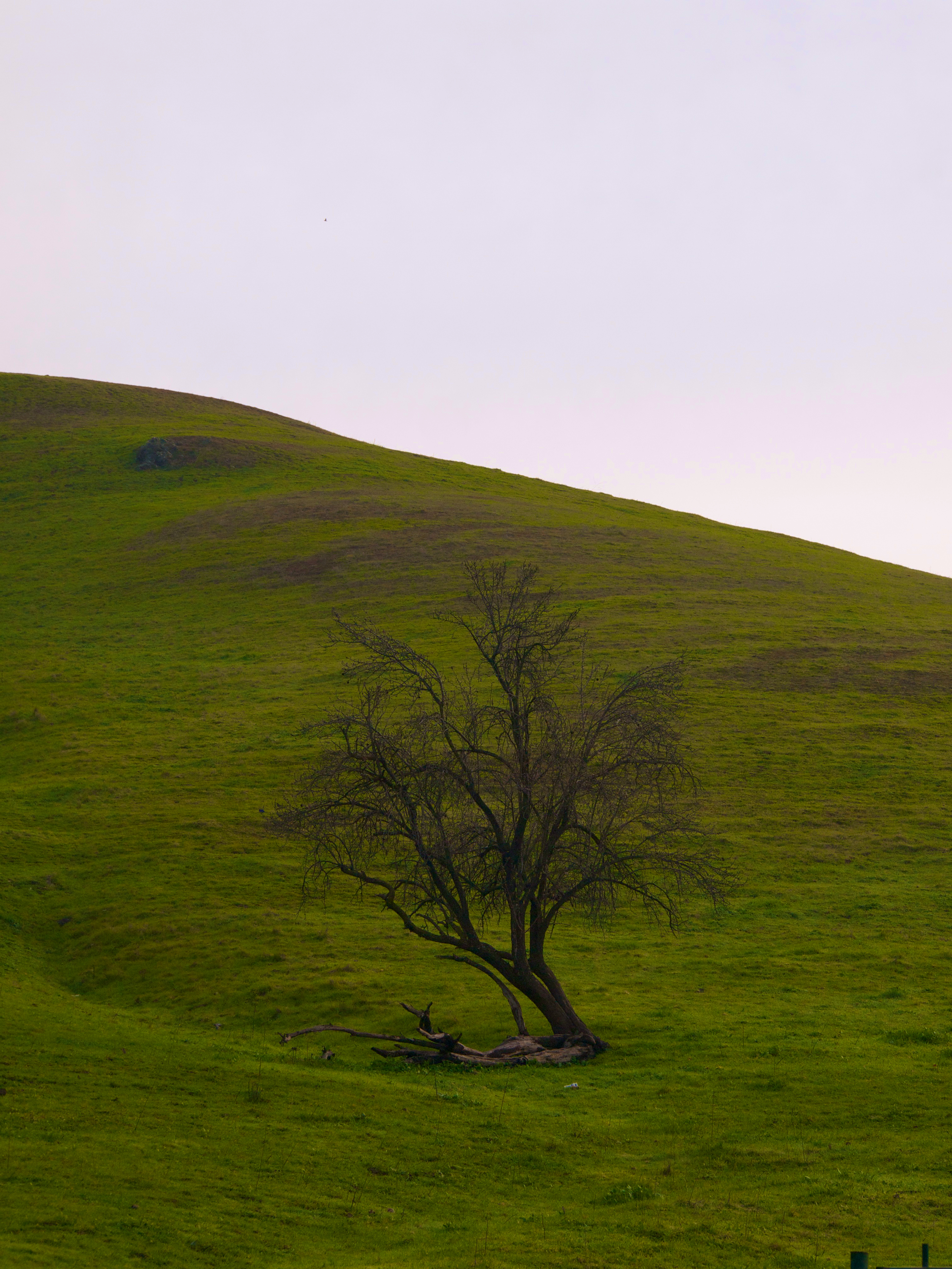
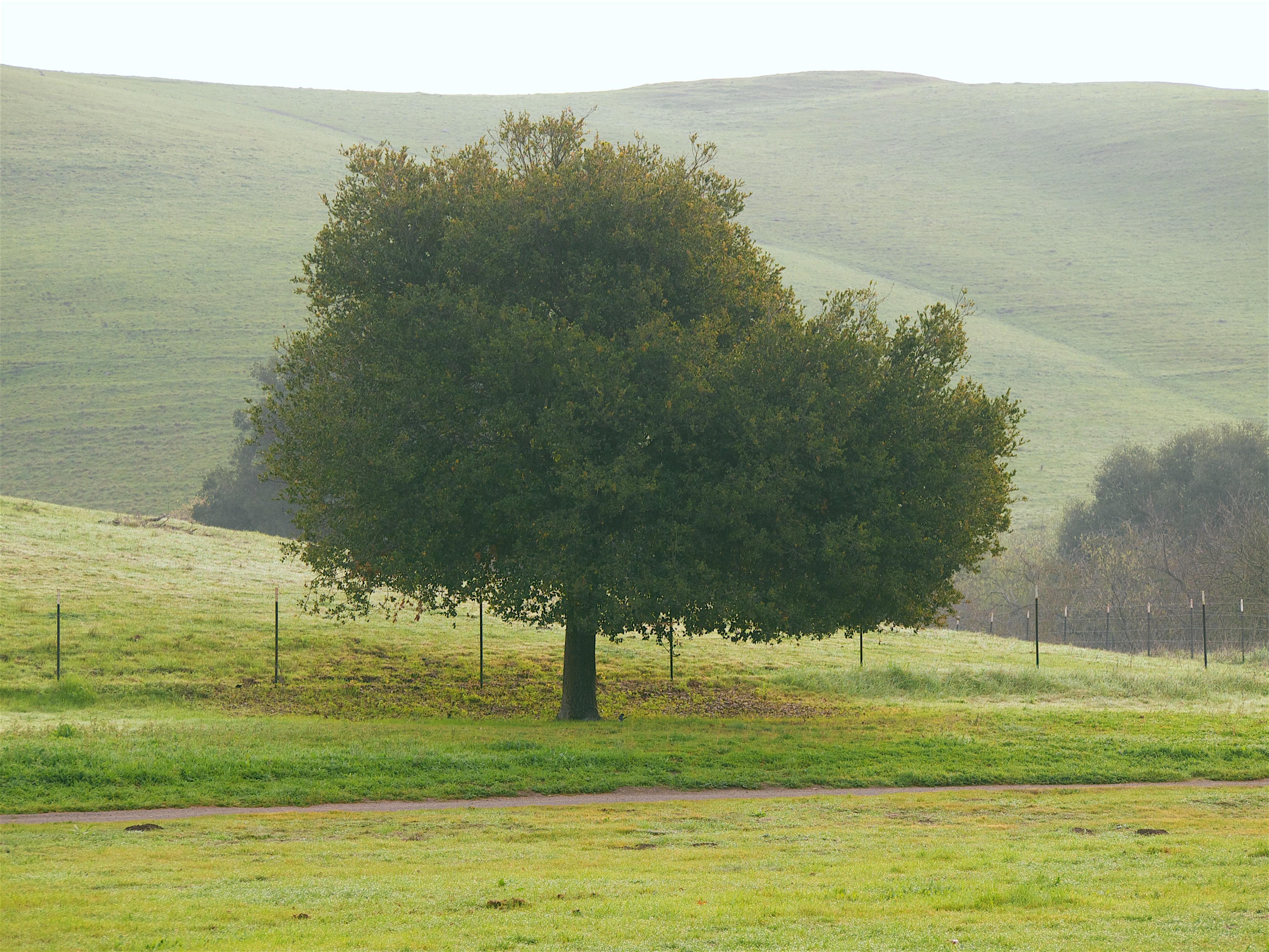
a tree or two
Garin Regional 20150204

Trail to the Yellow Flowers
Garin Regional 20150204

Good weather! #Fremont #sanfrancisco #Cloud #California #usa #trip #travel
I'm beginning to wonder why I kept passing up this EB park. What a gem! #EBRPD #SunolRegionalWilderness #Sunol

Five Canyons Park 20170218
Topographic Map of Kilkare Woods Association, Glenora Way, Sunol, CA, USA
Find elevation by address:

Places near Kilkare Woods Association, Glenora Way, Sunol, CA, USA:
Kilkare Rd, Sunol, CA, USA
23 Twelve Oaks Dr
7021 Koll Center Pkwy
1 Verona Rd
6055 Sunol Blvd
3586 Wind Cave Ct
400 Old Bernal Ave
Arroyo Mocho
6340 Inspiration Terrace
7949 Limewood Ct
4444 Foothill Rd
1047 Sycamore Creek Way
Pleasanton, CA, USA
4594 Del Valle Pkwy
Pleasanton
4333 Bevilacqua Ct
4125 Hopyard Rd
8727 Canary Dr
4385 Hopyard Rd
5794 W Las Positas Blvd
Recent Searches:
- Elevation of Corso Fratelli Cairoli, 35, Macerata MC, Italy
- Elevation of Tallevast Rd, Sarasota, FL, USA
- Elevation of 4th St E, Sonoma, CA, USA
- Elevation of Black Hollow Rd, Pennsdale, PA, USA
- Elevation of Oakland Ave, Williamsport, PA, USA
- Elevation of Pedrógão Grande, Portugal
- Elevation of Klee Dr, Martinsburg, WV, USA
- Elevation of Via Roma, Pieranica CR, Italy
- Elevation of Tavkvetili Mountain, Georgia
- Elevation of Hartfords Bluff Cir, Mt Pleasant, SC, USA