Elevation of Kiburara, Rwanda
Location: Rwanda > Eastern Province > Nyagatare >
Longitude: 30.4583333
Latitude: -1.2958333
Elevation: 1355m / 4446feet
Barometric Pressure: 86KPa
Elevation Map:
Satellite Map:
Related Photos:
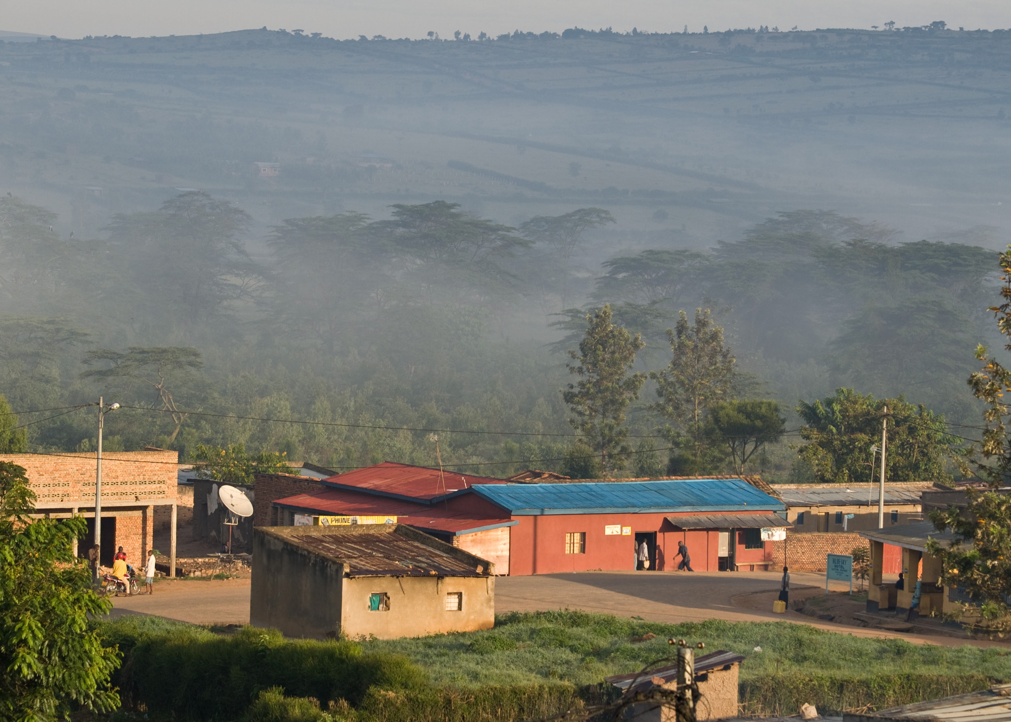
Nyagatere in the morning light
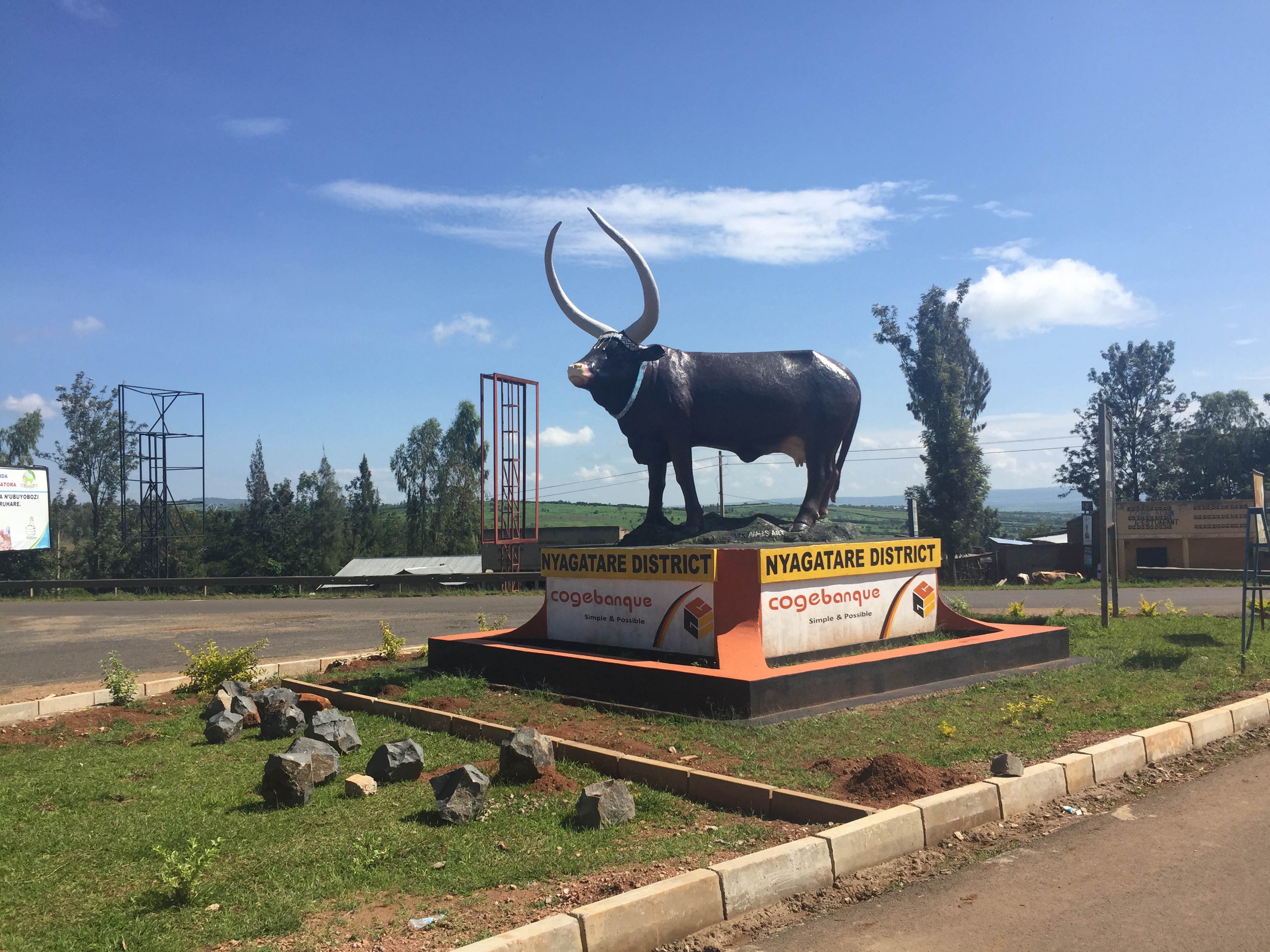
African longhorn

Akagera National Parc - Rwanda

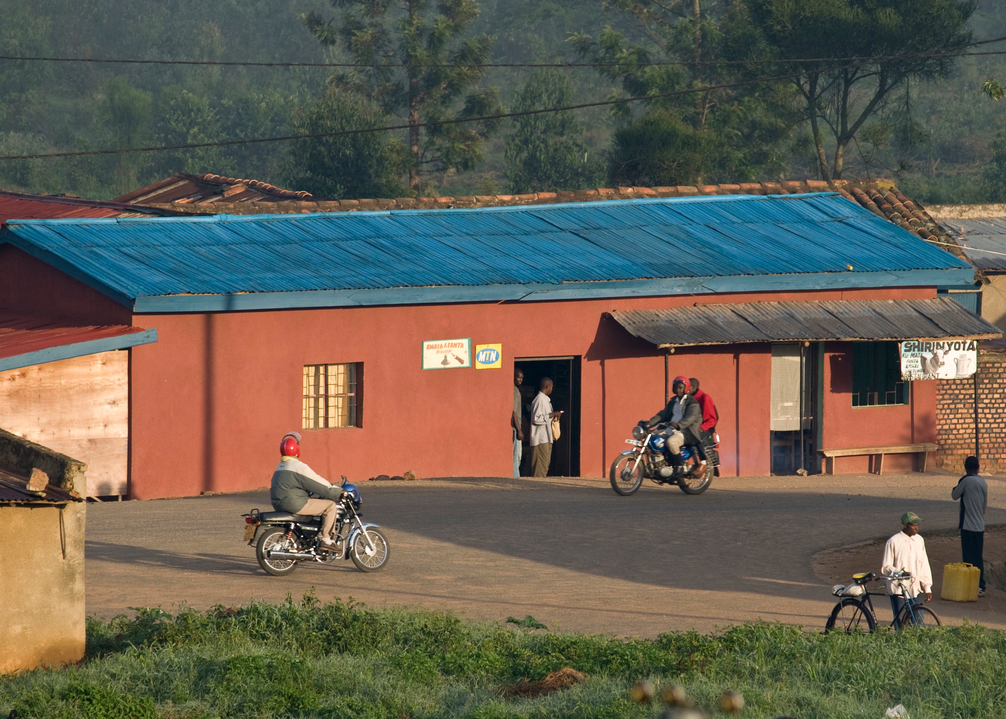
Motos on stand-by
Nyagatere in the morning
Topographic Map of Kiburara, Rwanda
Find elevation by address:

Places near Kiburara, Rwanda:
Nyagatare
Nyagatare
Kicherere
Kabale
Makanga Golf Course Polling Post
Kabale
Lake Bunyonyi
Rubanda
Butaro
Must Research Office
Boma
Mbarara
Kidaho
Igongo Cultural Centre
Ruhija Community Rest Camp
Mbarara
Kisoro
Muhavura Volcano
Kisoro
Bufumbira
Recent Searches:
- Elevation of Corso Fratelli Cairoli, 35, Macerata MC, Italy
- Elevation of Tallevast Rd, Sarasota, FL, USA
- Elevation of 4th St E, Sonoma, CA, USA
- Elevation of Black Hollow Rd, Pennsdale, PA, USA
- Elevation of Oakland Ave, Williamsport, PA, USA
- Elevation of Pedrógão Grande, Portugal
- Elevation of Klee Dr, Martinsburg, WV, USA
- Elevation of Via Roma, Pieranica CR, Italy
- Elevation of Tavkvetili Mountain, Georgia
- Elevation of Hartfords Bluff Cir, Mt Pleasant, SC, USA