Elevation of Igongo Cultural Centre, Mbarara - Masaka Rd, Mbarara, Uganda
Location: Uganda > Western Region > Mbarara > Mbarara >
Longitude: 30.6624922
Latitude: -0.6051058
Elevation: 1433m / 4701feet
Barometric Pressure: 85KPa
Elevation Map:
Satellite Map:
Related Photos:

DSC_0783
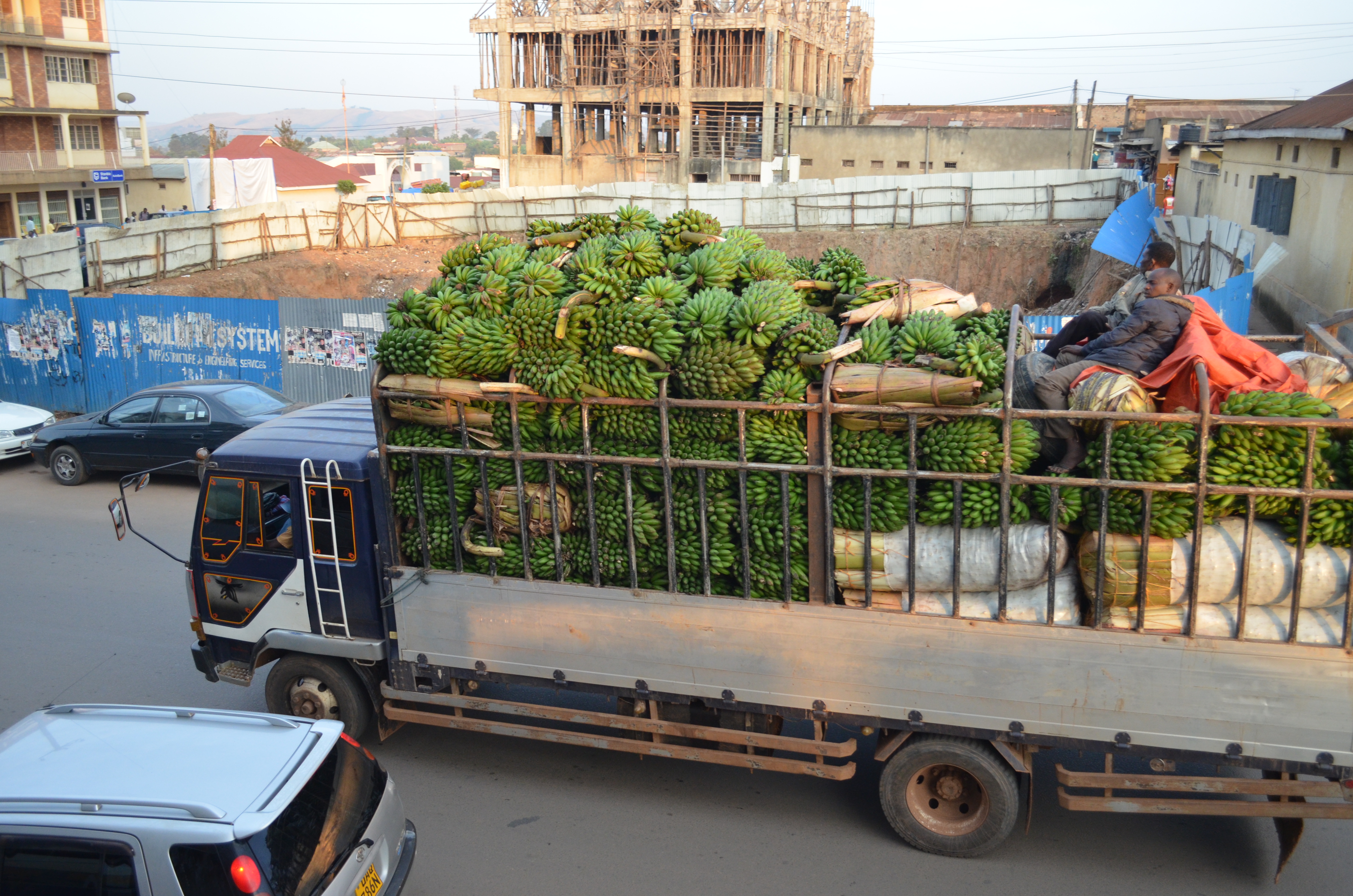
DSC_0789

P2040132

P2040140

P2040139

P2040130

P2040129

P2040131

P2040128
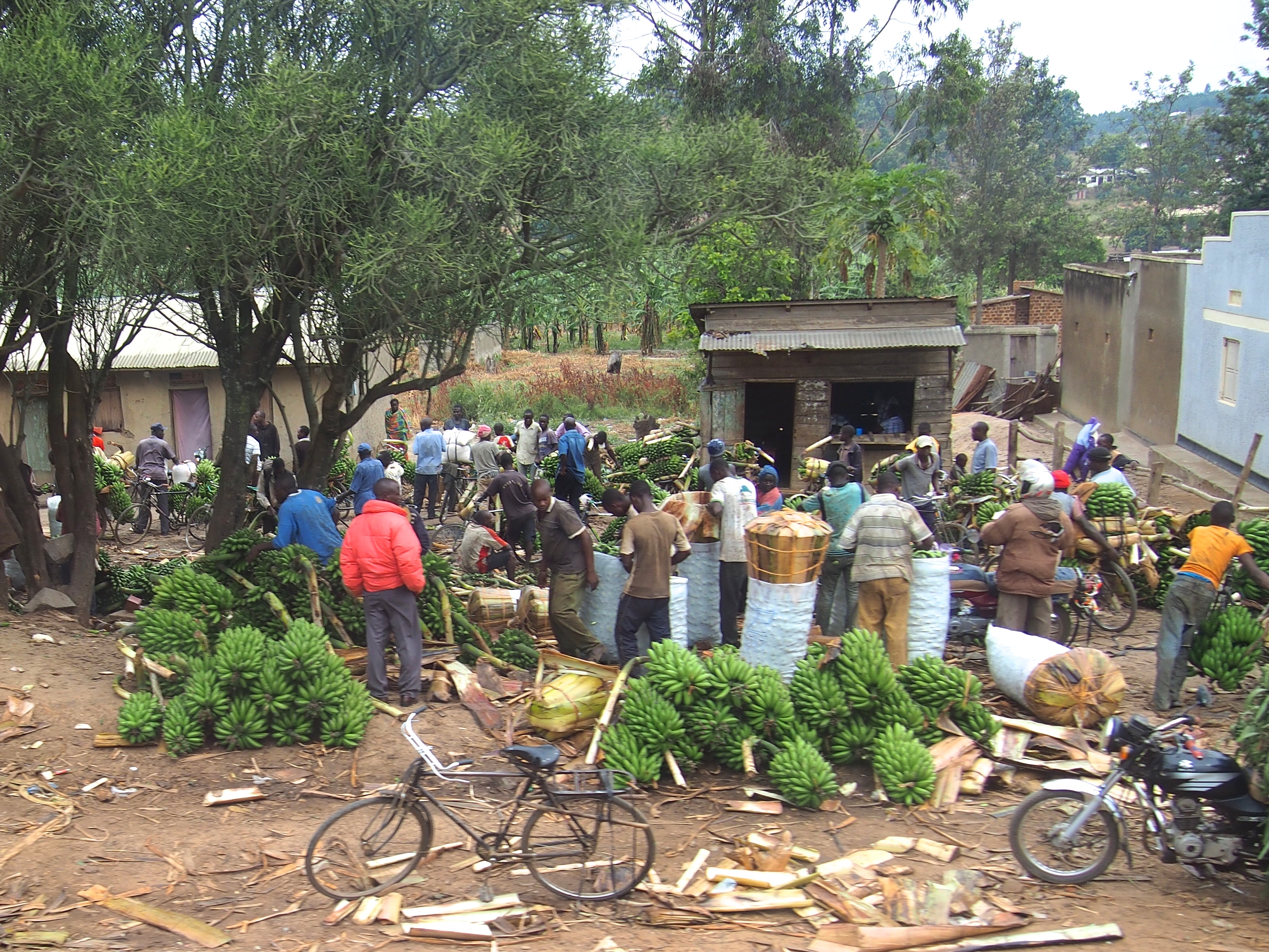
P2040127

P2040126

P1090508
Topographic Map of Igongo Cultural Centre, Mbarara - Masaka Rd, Mbarara, Uganda
Find elevation by address:

Places near Igongo Cultural Centre, Mbarara - Masaka Rd, Mbarara, Uganda:
Mbarara
Boma
Must Research Office
Mbarara
Ibanda
Ibanda
Kashoya-kitomi
Kicherere
Kalinzu Central Forest Reserve
Kiburara
Nyagatare
Nyagatare
Kabale
Kabale
Makanga Golf Course Polling Post
Kanungu
Kihihi Airstrip
Rubanda
Ruhija Community Rest Camp
Lake Bunyonyi
Recent Searches:
- Elevation of Corso Fratelli Cairoli, 35, Macerata MC, Italy
- Elevation of Tallevast Rd, Sarasota, FL, USA
- Elevation of 4th St E, Sonoma, CA, USA
- Elevation of Black Hollow Rd, Pennsdale, PA, USA
- Elevation of Oakland Ave, Williamsport, PA, USA
- Elevation of Pedrógão Grande, Portugal
- Elevation of Klee Dr, Martinsburg, WV, USA
- Elevation of Via Roma, Pieranica CR, Italy
- Elevation of Tavkvetili Mountain, Georgia
- Elevation of Hartfords Bluff Cir, Mt Pleasant, SC, USA