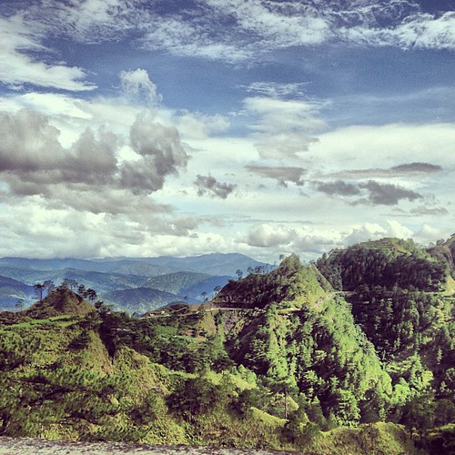
Elevation of Kibungan Municipal Hall, Acop-Kapangan-Kibungan Road, Kibungan, Benguet, Philippines

Location: Philippines > Cordillera Administrative Region > Benguet > Kibungan > Poblacion >

Longitude: 120.653019

Latitude: 16.6935828

Elevation: 1248m / 4094feet

Barometric Pressure: 87KPa

Elevation Map:

elevation map of Kibungan Municipal Hall, Acop-Kapangan-Kibungan Road, Kibungan, Benguet, Philippines

Satellite Map:

Satellite map of Kibungan Municipal Hall, Acop-Kapangan-Kibungan Road, Kibungan, Benguet, Philippines

Related Photos:

View from the Highest point of the Philippine Hi-way System
square squareformat iphoneography instagramapp uploaded:by=instagram
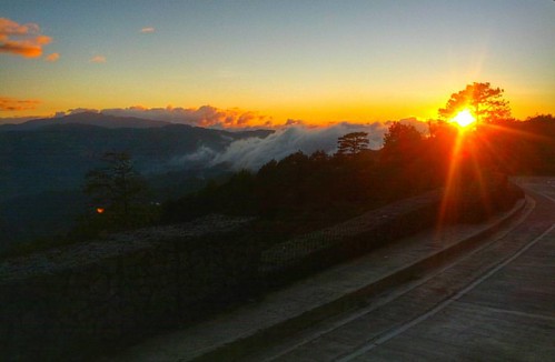
Day 05: Since the sea of clouds in Kiltepan Peak this morning is too stubborn and shy to come out and greet her spectators I lost all hope of seeing one but en route to Baguio an equally breathtaking sea of clouds with a sunset view unexpectedly come out
cordillera luzon philippine
filippine cordillera luzon
staring at the sun
Kabayan Mummy Burial Caves, Philippines
continentasia countryphilippines quadrantnorthcentral provincephbenguet year2015 day019of366january19th trip2015philippines set2015ph regionphbeluzon cityphbenatubleng roadphbehalsemahighway lifeofaladane
20150119-008
kabayan cordilleraadministrativeregion philippines ph thehighestpoint
Philippines-77
continentasia countryphilippines quadrantnorthcentral provincephbenguet year2015 day019of366january19th trip2015philippines set2015ph regionphbeluzon cityphbenatubleng roadphbehalsemahighway lifeofaladane
20150119-011
continentasia countryphilippines quadrantnorthcentral provincephbenguet year2015 day019of366january19th trip2015philippines set2015ph regionphbeluzon cityphbenatubleng roadphbehalsemahighway lifeofaladane
20150119-009
continentasia countryphilippines quadrantnorthcentral provincephbenguet year2015 day019of366january19th trip2015philippines set2015ph regionphbeluzon cityphbenatubleng roadphbehalsemahighway lifeofaladane
20150119-010
year2015 continentasia countryphilippines provincephbenguet quadrantnorthcentral regionphbeluzon cityphbenatubleng roadphbehalsemahighway day019of366january19th set2015ph trip2015philippines lifeofaladane
20150119-004
continentasia countryphilippines quadrantnorthcentral provincephbenguet year2015 day019of366january19th trip2015philippines set2015ph regionphbeluzon cityphbenatubleng roadphbehalsemahighway lifeofaladane
20150119-005
continentasia countryphilippines quadrantnorthcentral provincephbenguet year2015 day019of366january19th trip2015philippines set2015ph regionphbeluzon cityphbenatubleng roadphbehalsemahighway lifeofaladane
20150119-006
from riverside tai chong
been there done that
Mt. Pulag National Park, Philippines
cordillera luzon philippine
filippine cordillera luzon
car highway philippines cordillera halsema benguet halsemahighway uploaded:by=flickstagram instagram:photo=575014954278112446327459658
Halsema Highway #halsema #halsemahighway #highway #cordillera...
My first mountain trekking adventure. The scenes at the summit are unbelievably majestic.
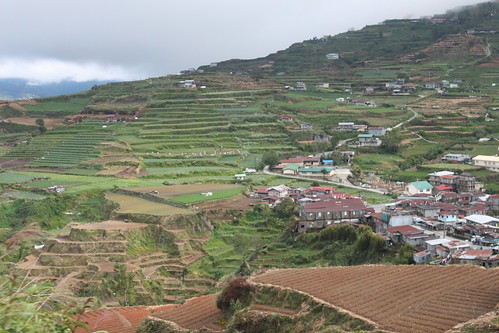
Ruộng bậc thang trong mây (chụp khi xe đang chạy)
My first mountain trekking adventure. The scenes at the summit are unbelievably majestic.
Ruộng bậc thang trong mây (chụp khi xe đang chạy)