Elevation of Khurgan Lake, Mongolia
Location: Mongolia > Bayan-ulgii > Tsengel >
Longitude: 88.5949827
Latitude: 48.5401912
Elevation: 2071m / 6795feet
Barometric Pressure: 79KPa
Elevation Map:
Satellite Map:
Related Photos:
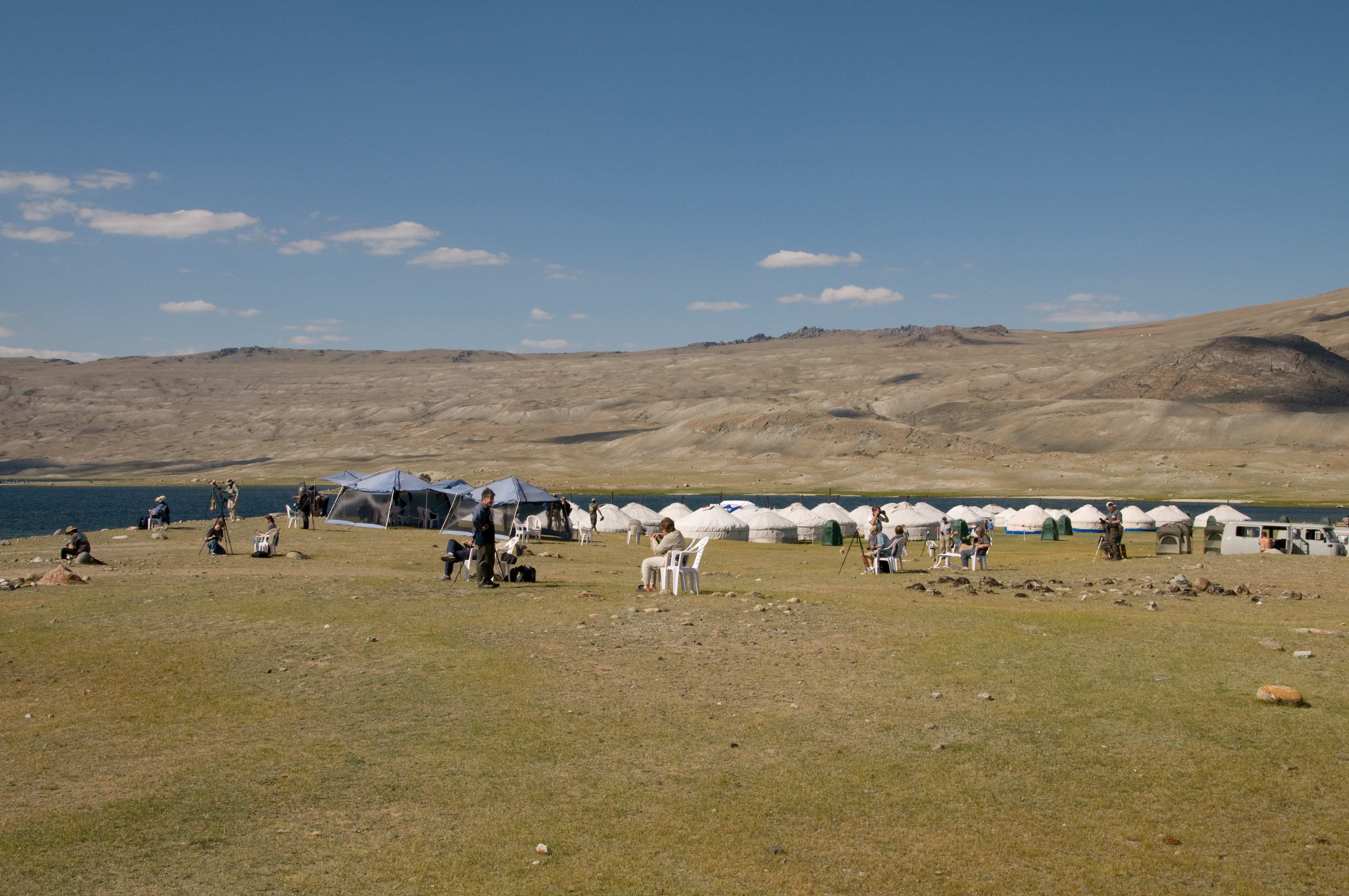
Khoton Lake Ger Camp
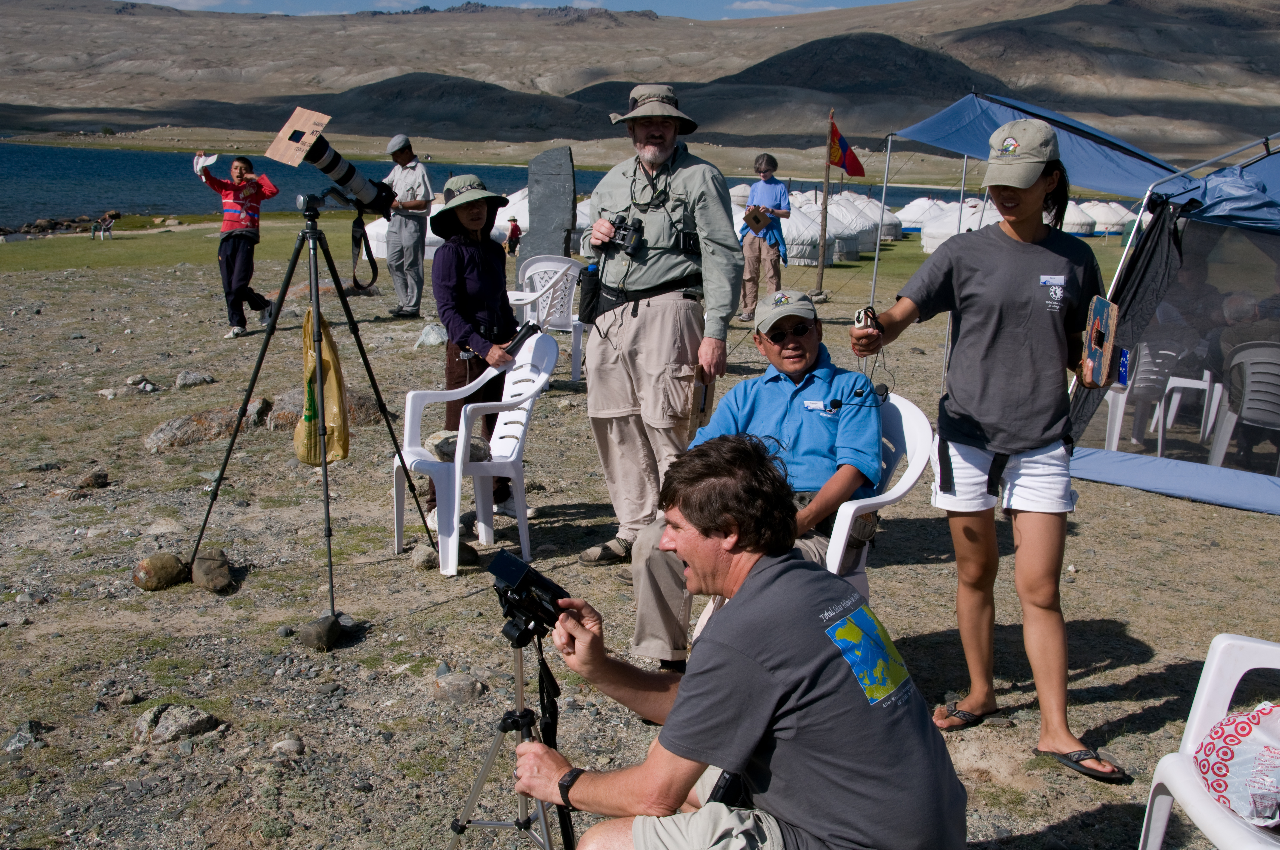
Pre-eclipse preparations
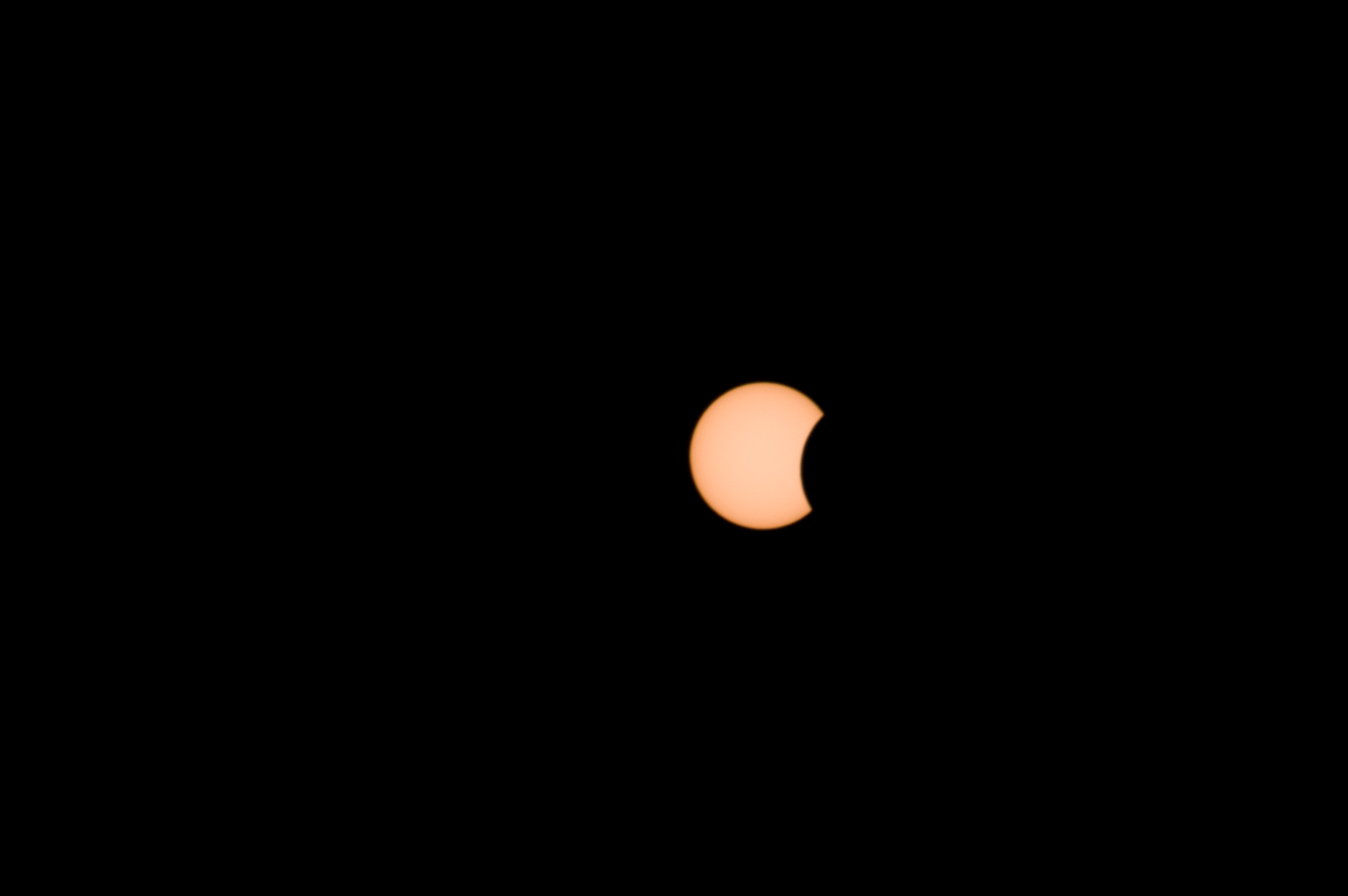
Shortly after first contact
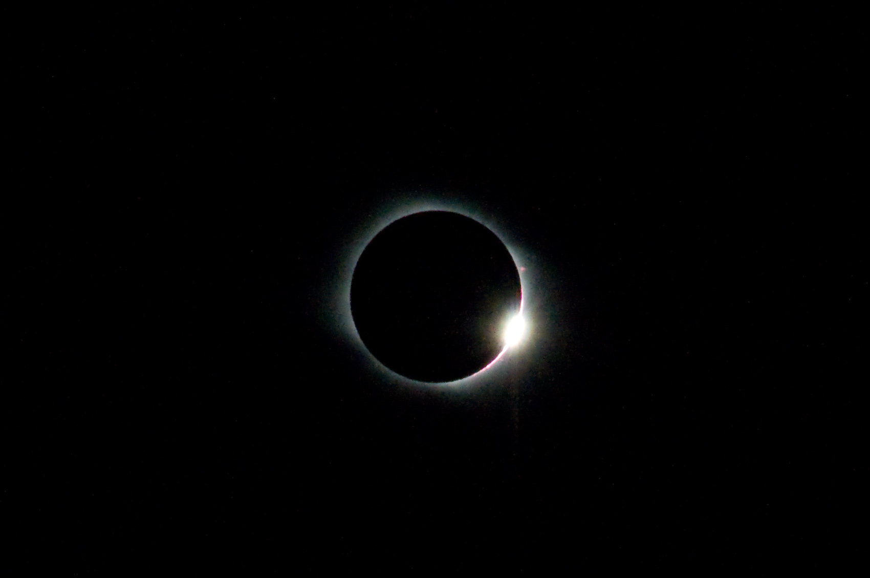
Mid eclipse showing more corona
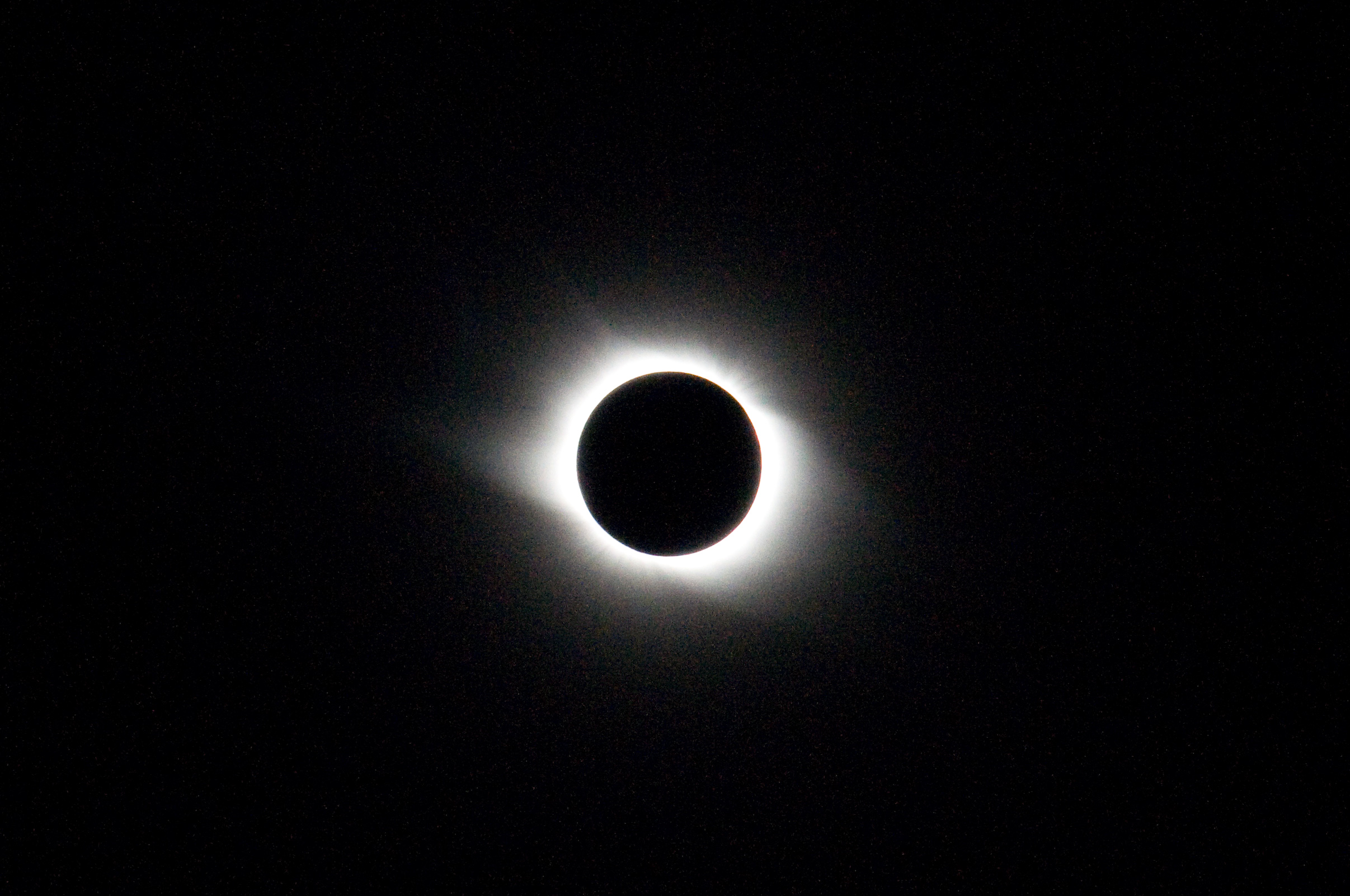
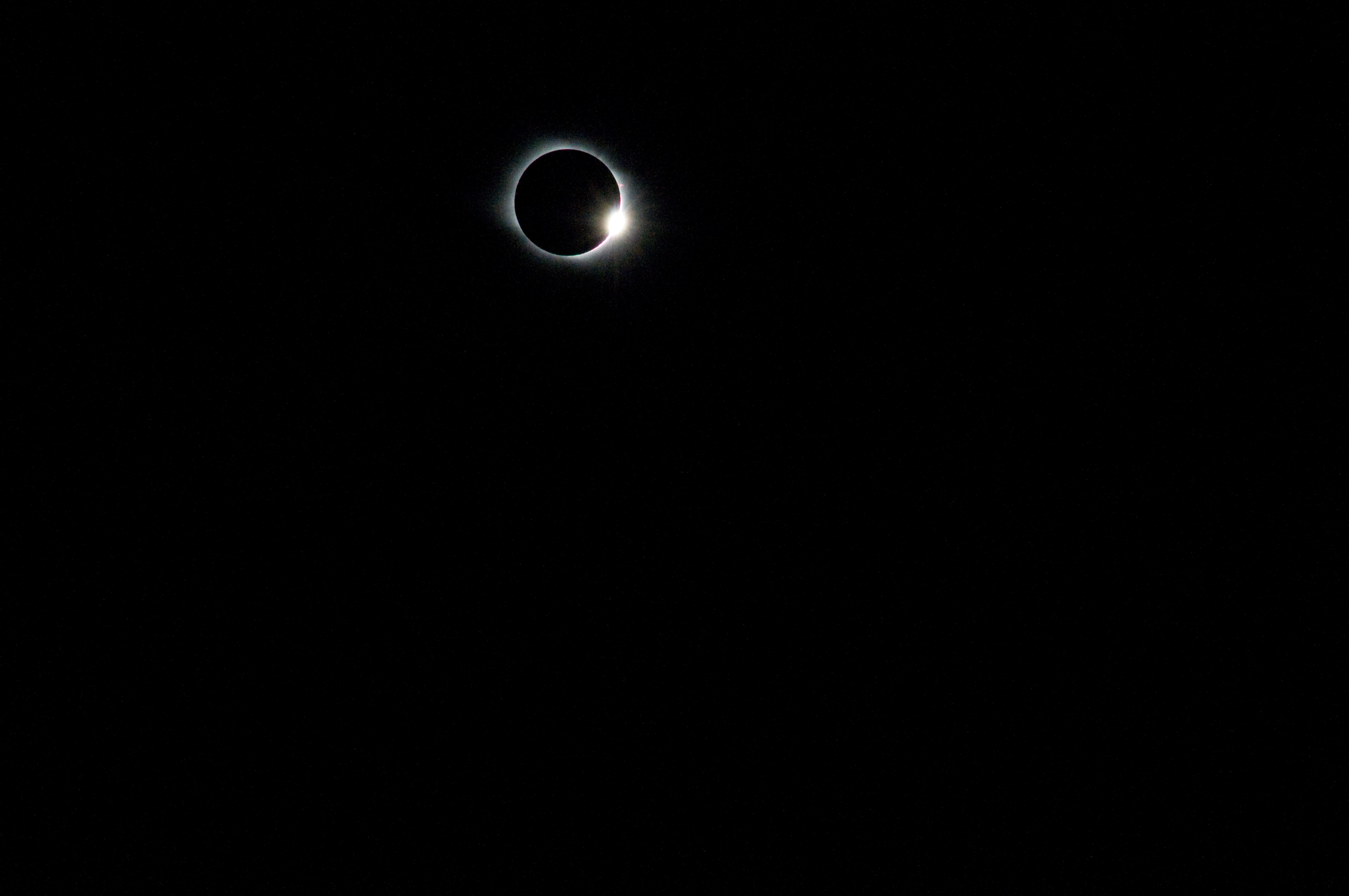
Diamond ring at end of totality (third contact)
Mongolia Eclipse-3261
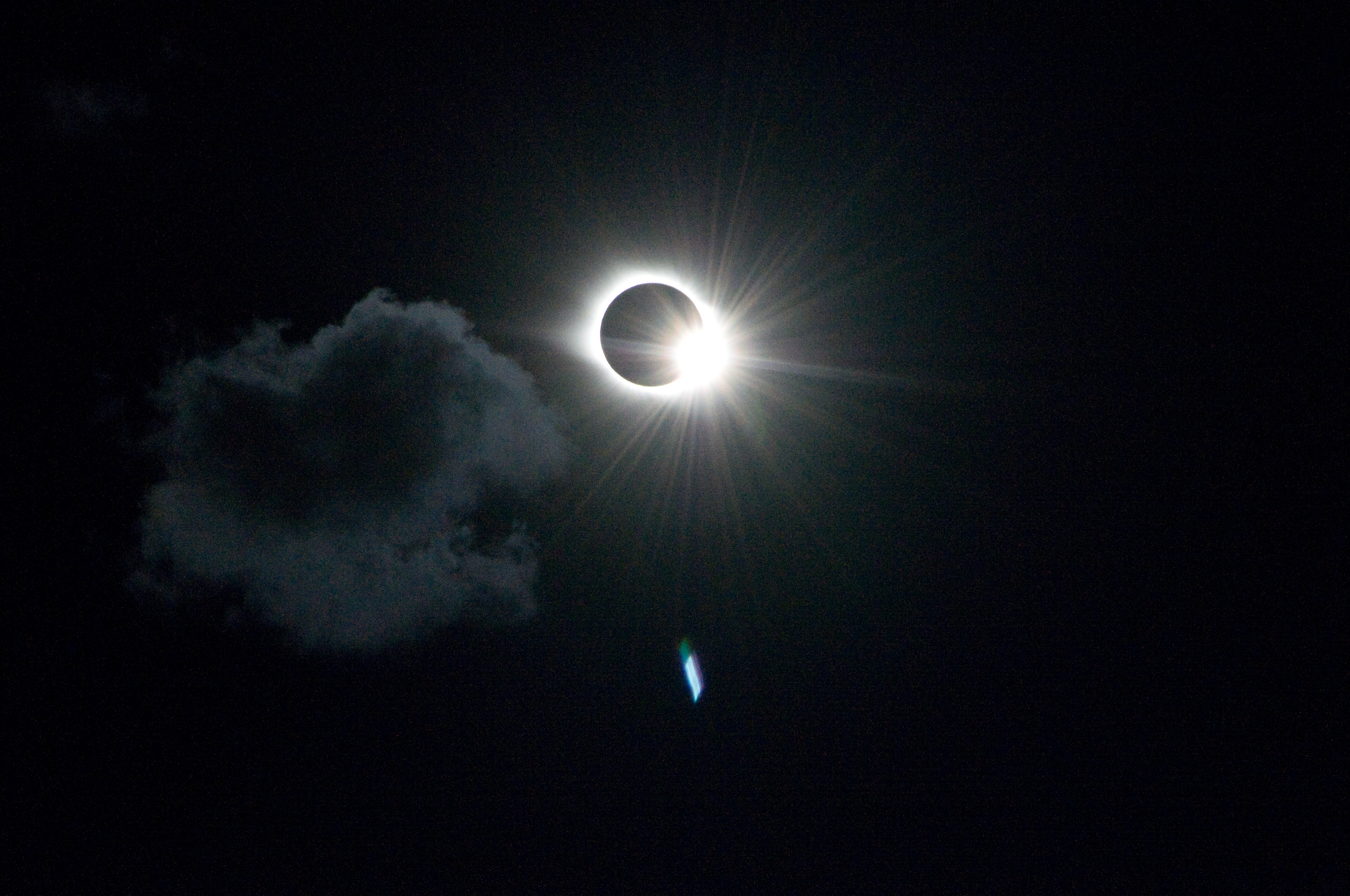
Diamond ring with cloud
Topographic Map of Khurgan Lake, Mongolia
Find elevation by address:

Places near Khurgan Lake, Mongolia:
Recent Searches:
- Elevation of Corso Fratelli Cairoli, 35, Macerata MC, Italy
- Elevation of Tallevast Rd, Sarasota, FL, USA
- Elevation of 4th St E, Sonoma, CA, USA
- Elevation of Black Hollow Rd, Pennsdale, PA, USA
- Elevation of Oakland Ave, Williamsport, PA, USA
- Elevation of Pedrógão Grande, Portugal
- Elevation of Klee Dr, Martinsburg, WV, USA
- Elevation of Via Roma, Pieranica CR, Italy
- Elevation of Tavkvetili Mountain, Georgia
- Elevation of Hartfords Bluff Cir, Mt Pleasant, SC, USA