Elevation of Kharik, Bihar, India
Location: India > Bihar > Bhagalpur >
Longitude: 87.0021512
Latitude: 25.3674628
Elevation: 39m / 128feet
Barometric Pressure: 101KPa
Elevation Map:
Satellite Map:
Related Photos:

Marwa, Bihar
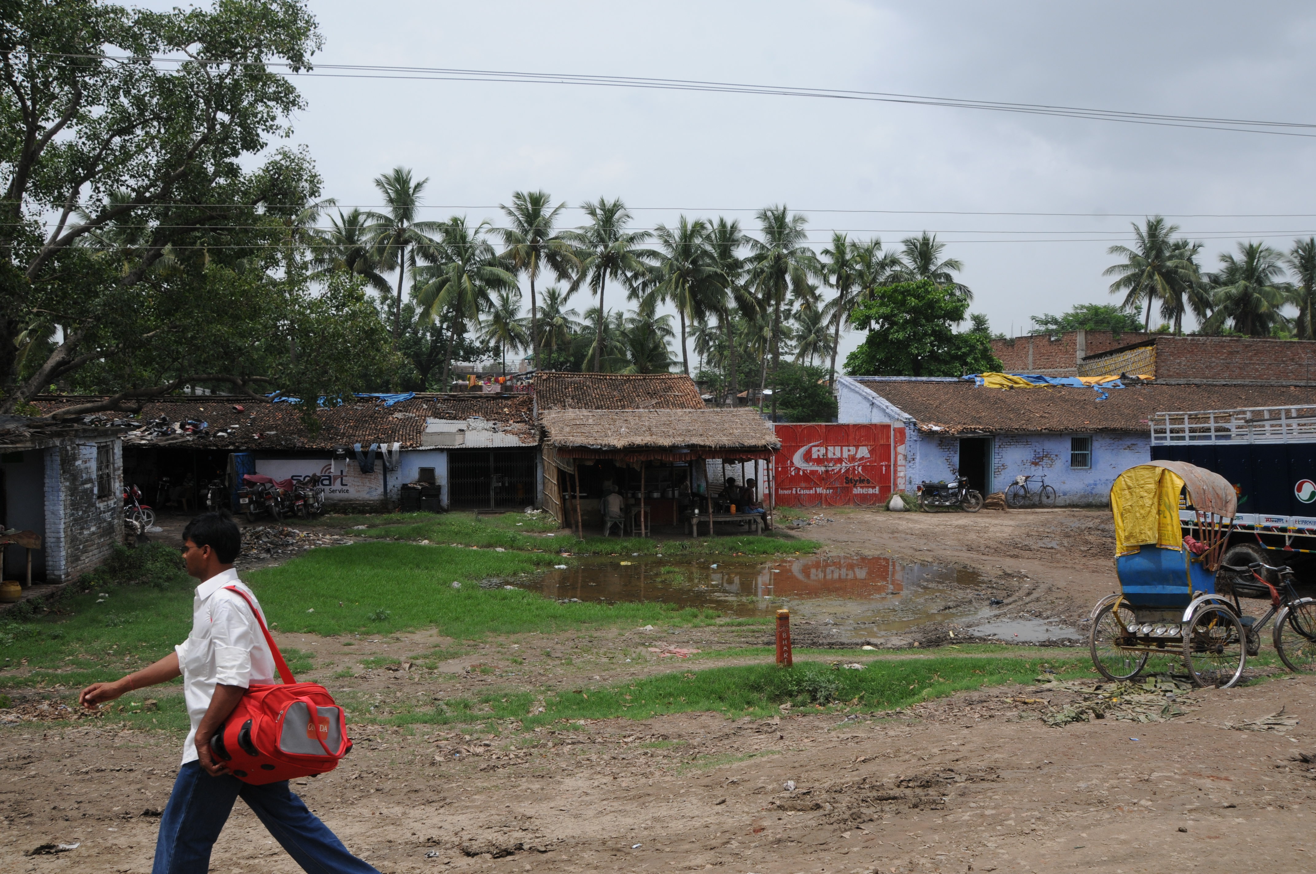
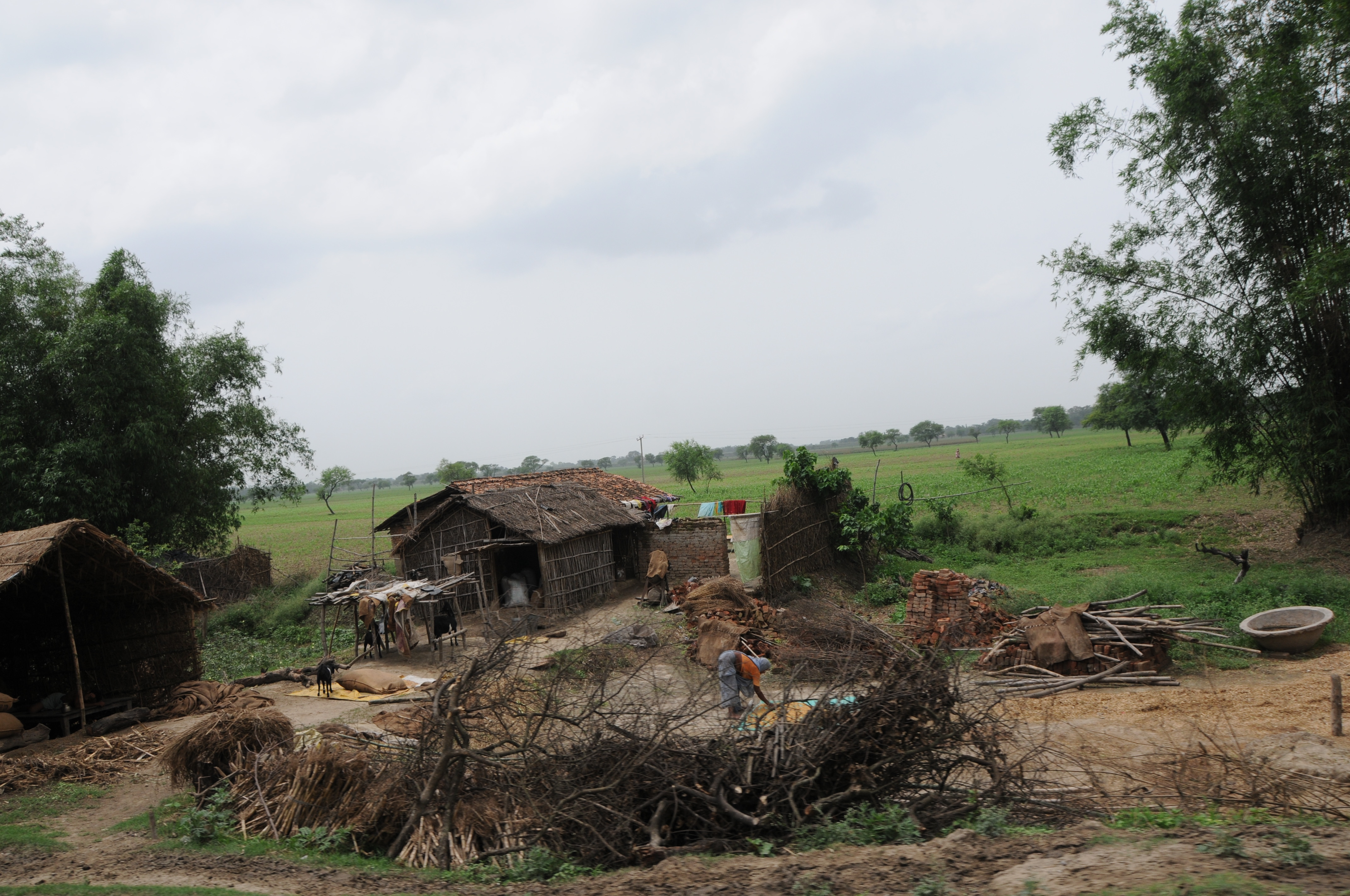
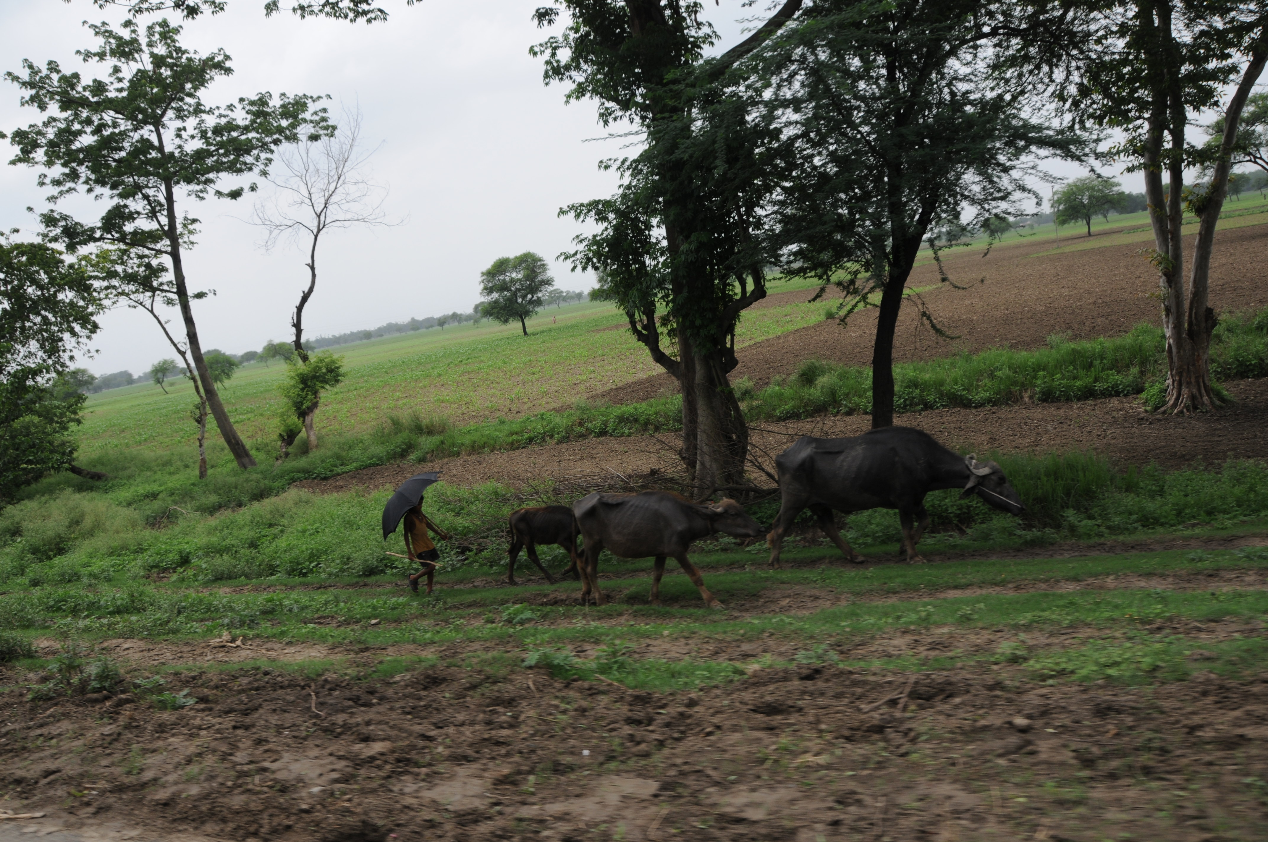
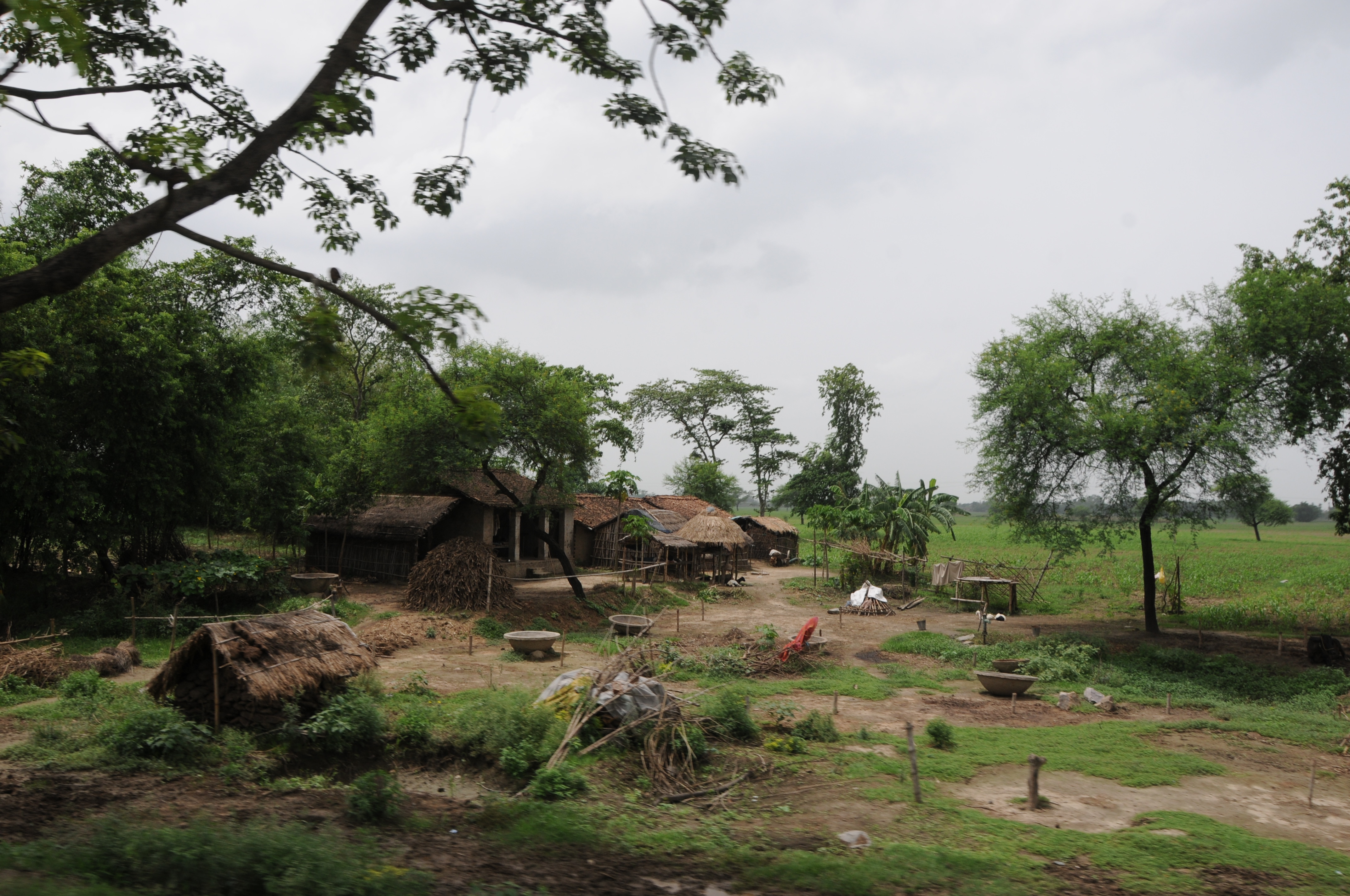
Naugachhia, Bihar(2008)
CSP_3904.JPG
CSP_3900.JPG

Naugachhia, Bihar(2008)
CSP_3901.JPG

CSP_3903.JPG
CSP_3902.JPG
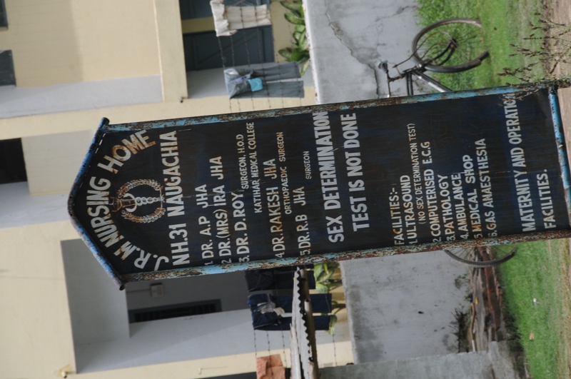
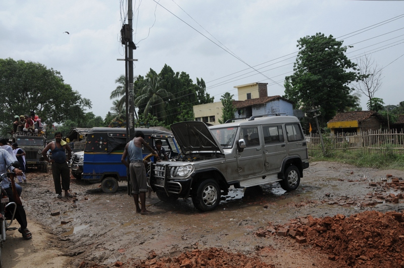
Naugachhia, Bihar(2008)

Naugachhia, Bihar(2008)
CSP_3906.JPG

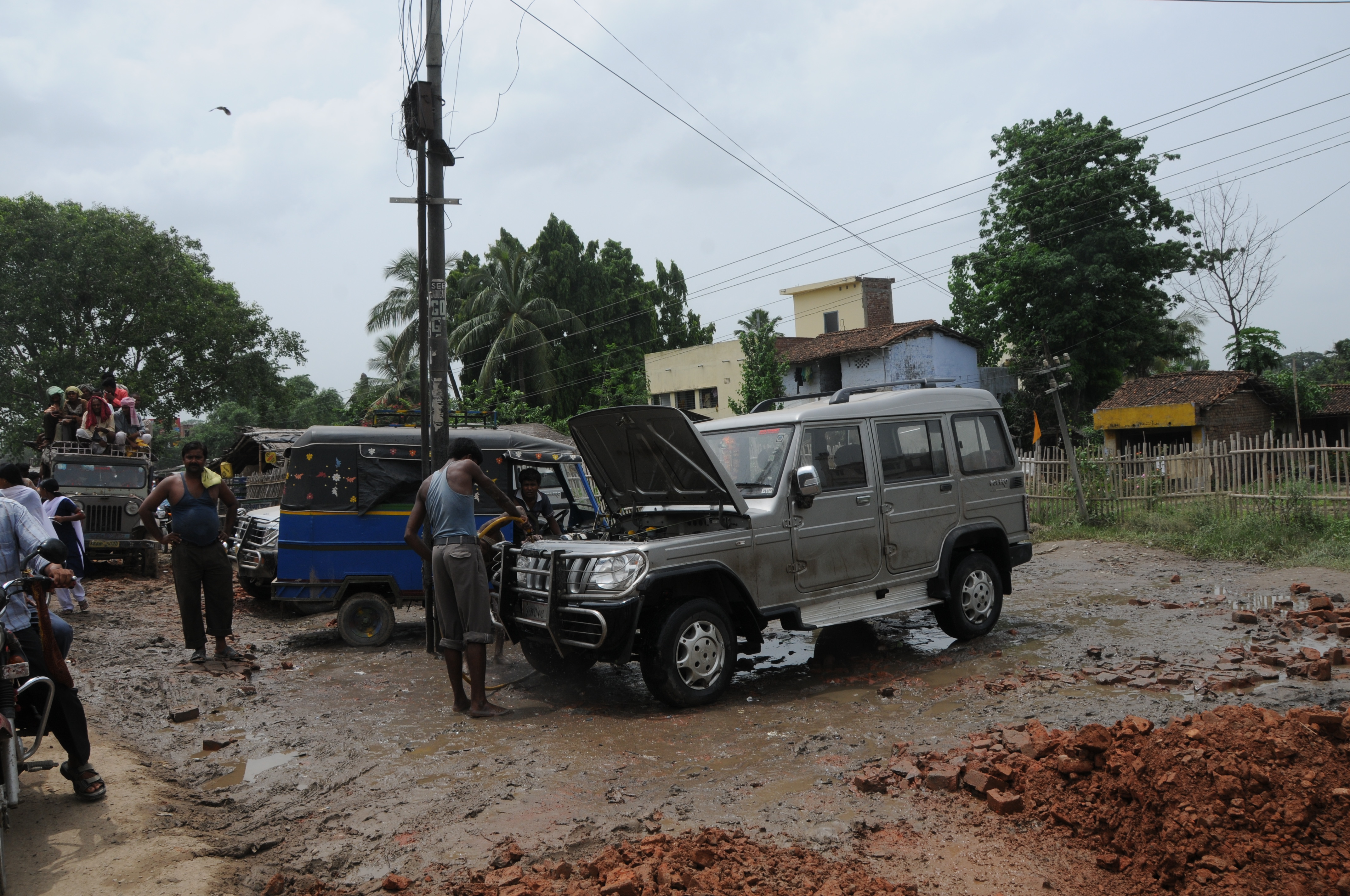
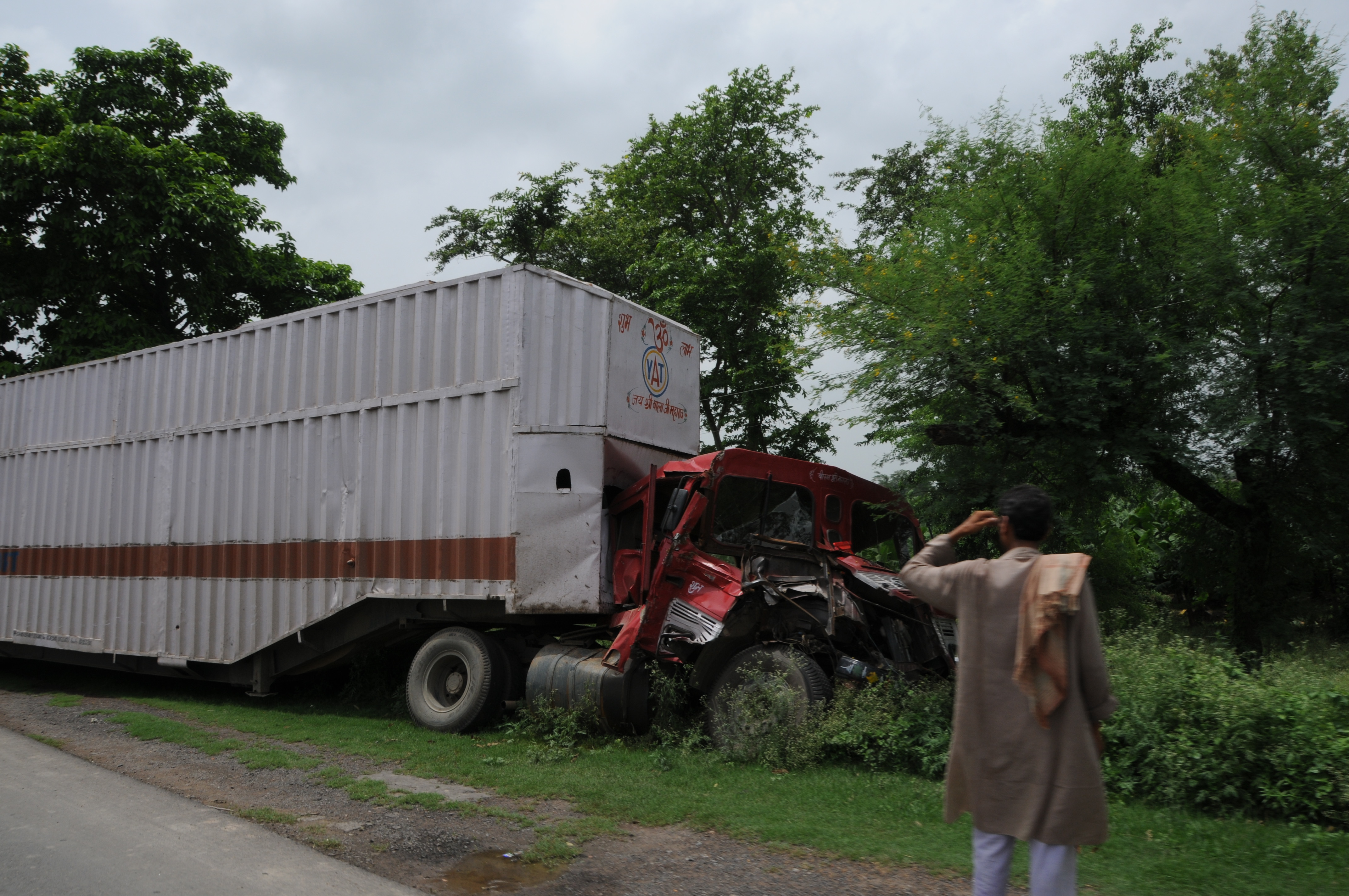
Naugachhia, Bihar(2008)
CSP_3907.JPG
CSP_3905.JPG

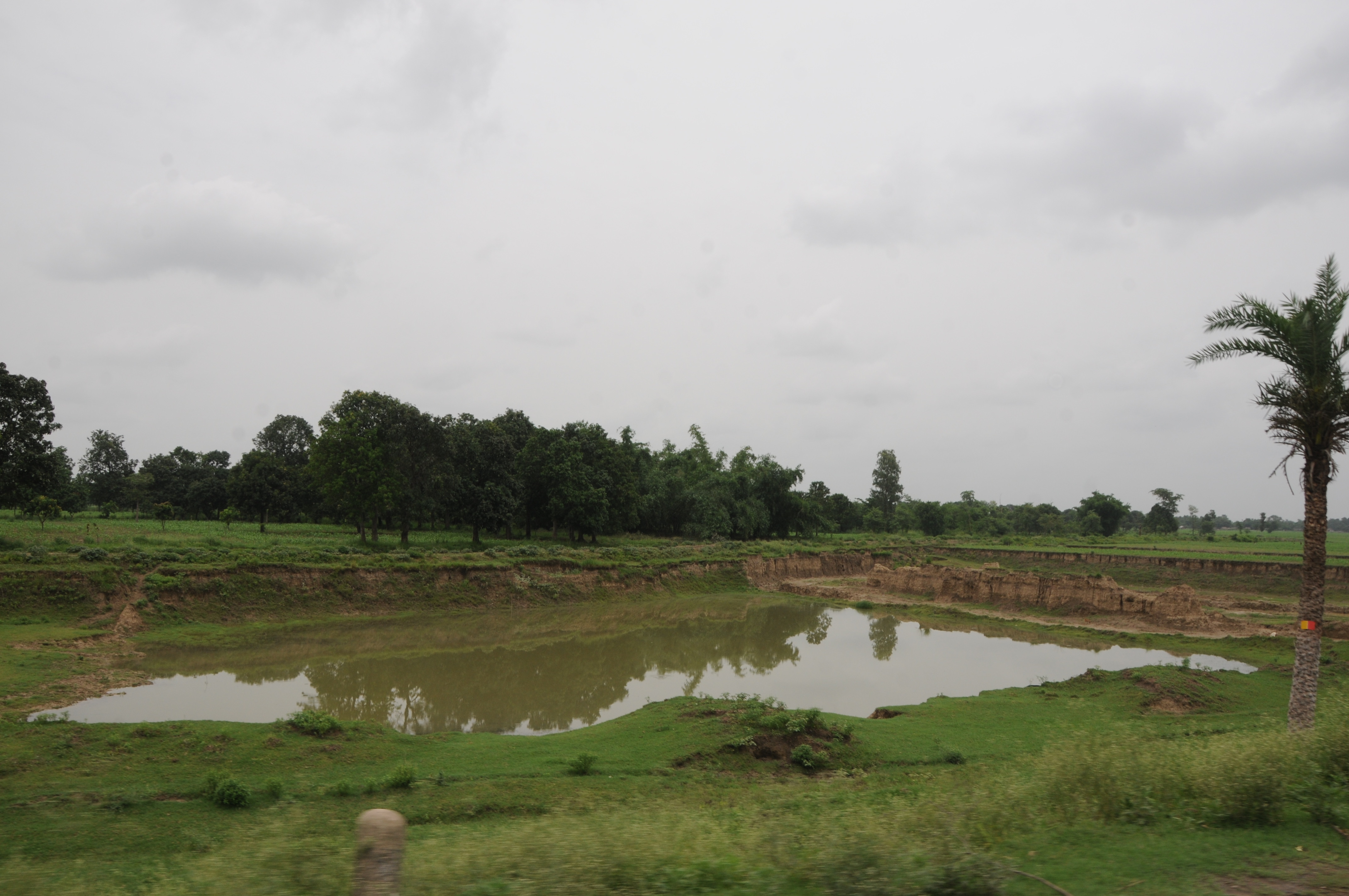
Naugachhia, Bihar(2008)
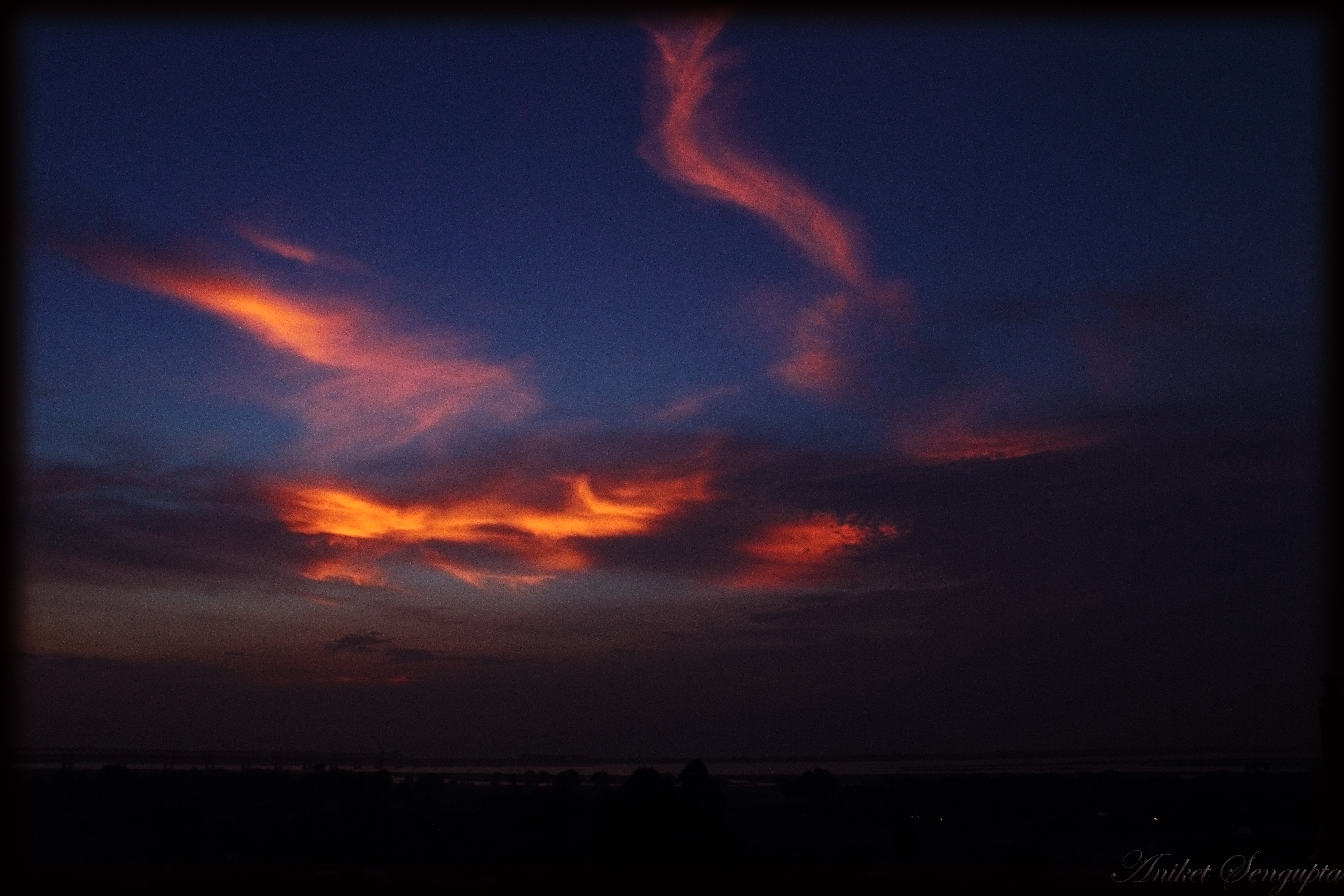
Sky on fire
Topographic Map of Kharik, Bihar, India
Find elevation by address:

Places near Kharik, Bihar, India:
Bhagalpur
Narayanpur
Bihpur
Naugachia
Khagaria
Middle School Gauchhari Par
Gouchhari
Purnia
Madhepura
Jamalpur
Munger
Khagaria
Madhepura
Saharsa
Saharsa
Samho
Begusarai
Supaul
Begusarai
Hasanpur
Recent Searches:
- Elevation of Corso Fratelli Cairoli, 35, Macerata MC, Italy
- Elevation of Tallevast Rd, Sarasota, FL, USA
- Elevation of 4th St E, Sonoma, CA, USA
- Elevation of Black Hollow Rd, Pennsdale, PA, USA
- Elevation of Oakland Ave, Williamsport, PA, USA
- Elevation of Pedrógão Grande, Portugal
- Elevation of Klee Dr, Martinsburg, WV, USA
- Elevation of Via Roma, Pieranica CR, Italy
- Elevation of Tavkvetili Mountain, Georgia
- Elevation of Hartfords Bluff Cir, Mt Pleasant, SC, USA