Elevation of Khagaria, Bihar, India
Location: India > Bihar >
Longitude: 86.7013894
Latitude: 25.4838168
Elevation: 36m / 118feet
Barometric Pressure: 101KPa
Elevation Map:
Satellite Map:
Related Photos:

CSP_3891.JPG

CSP_3884.JPG
CSP_3888.JPG
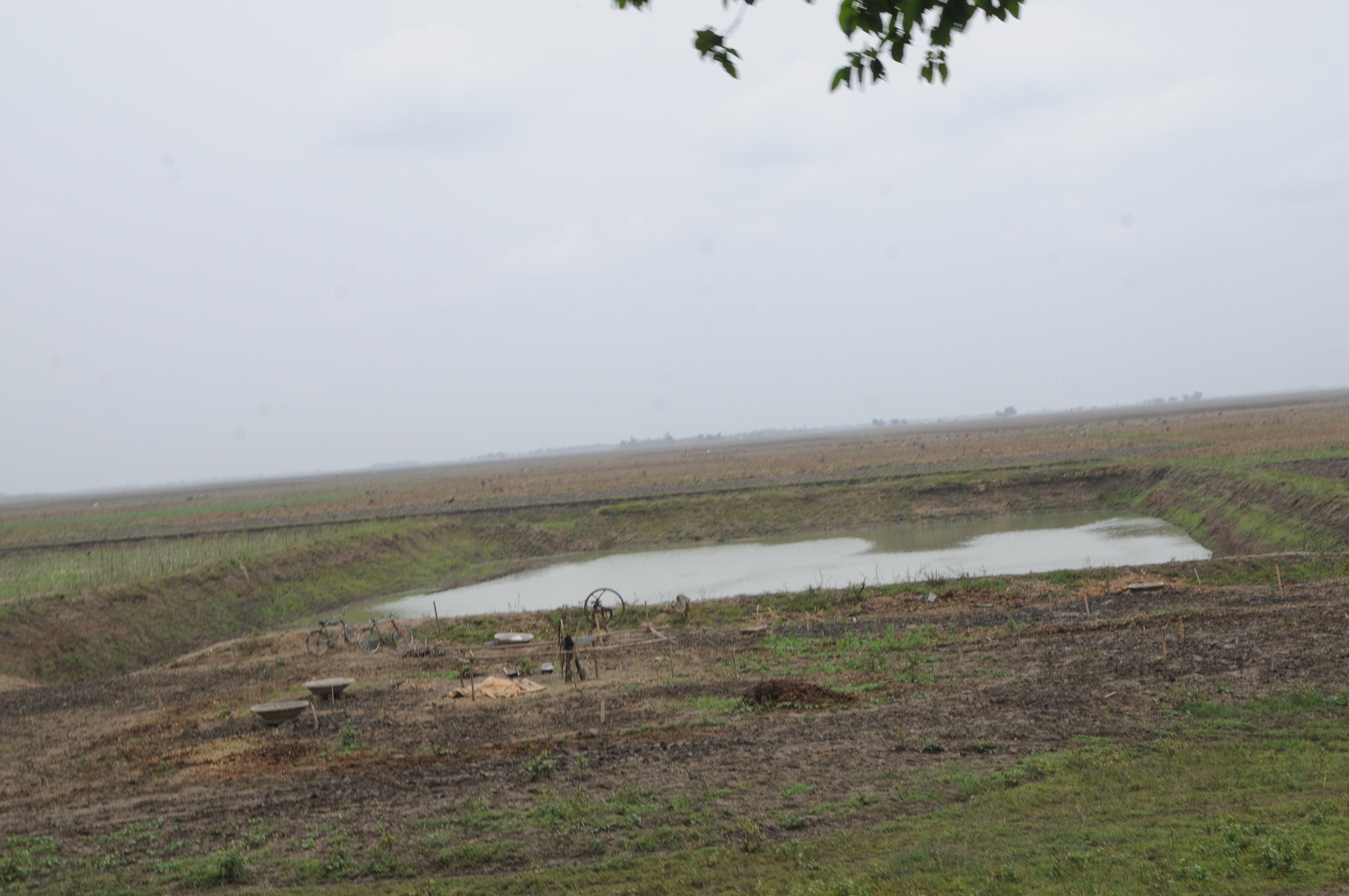
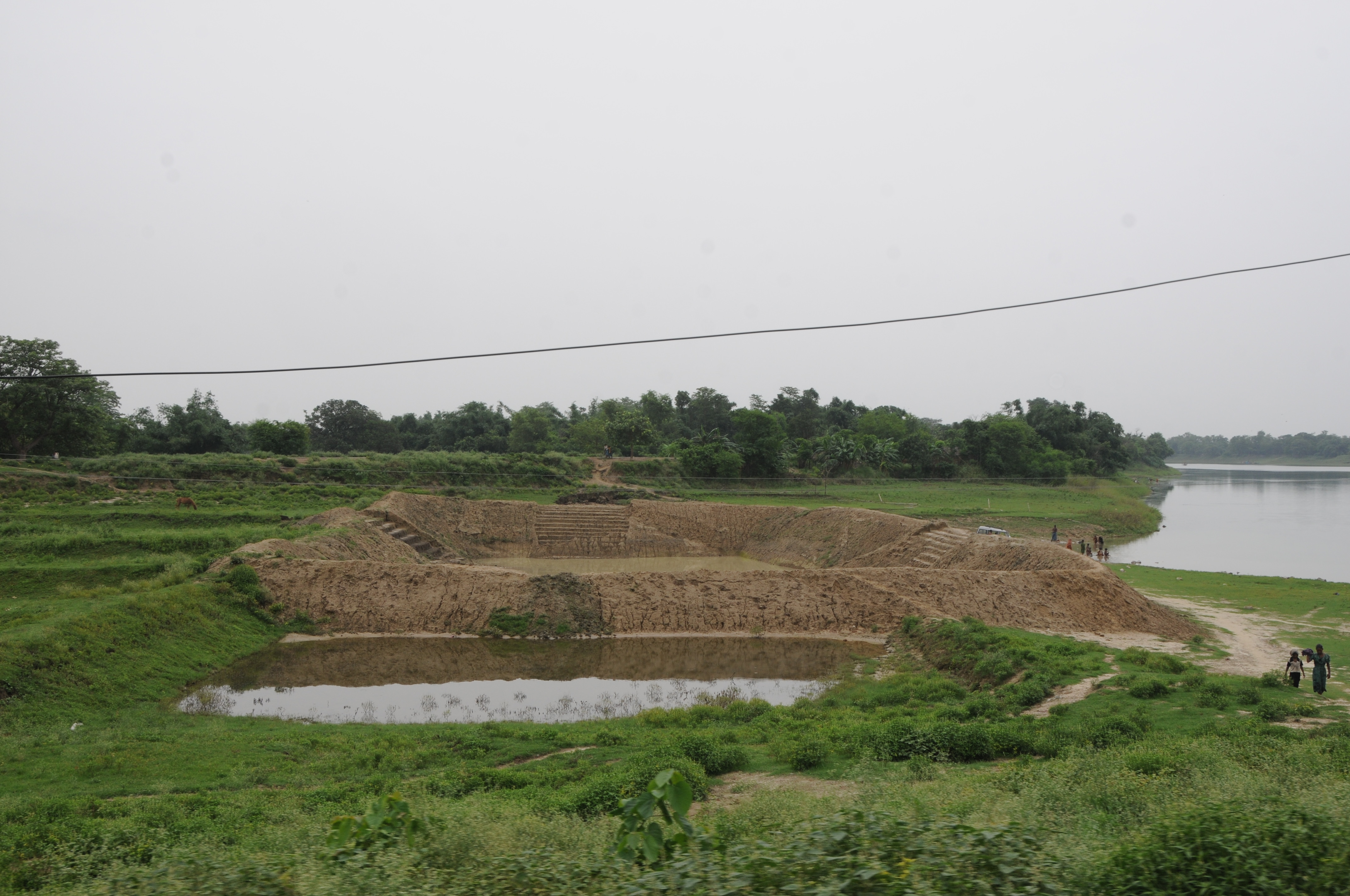
Gorhia, Bihar
Jhajhra, Bihar

CSP_3899.JPG
CSP_3882.JPG

CSP_3887.JPG
CSP_3883.JPG
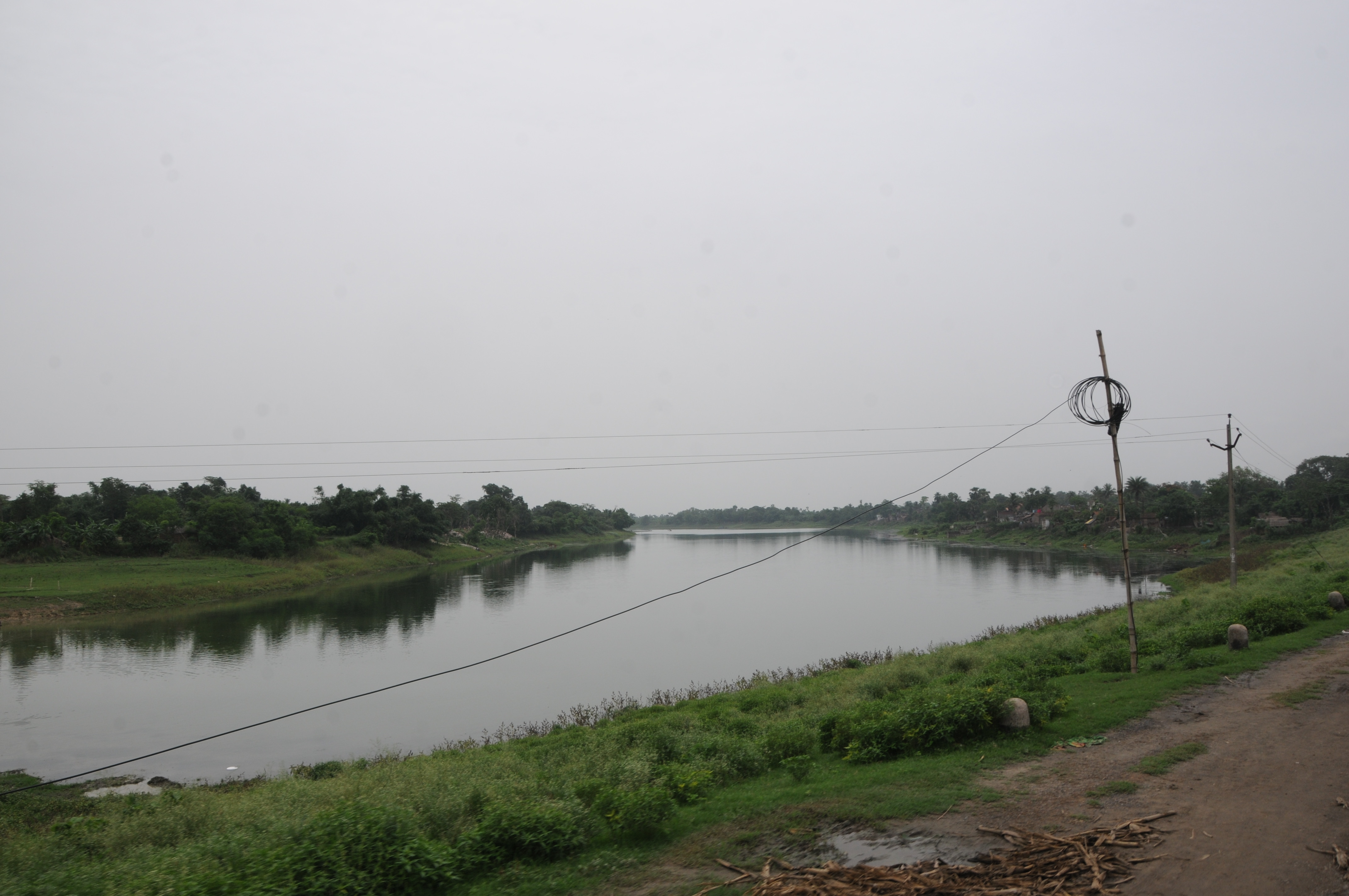
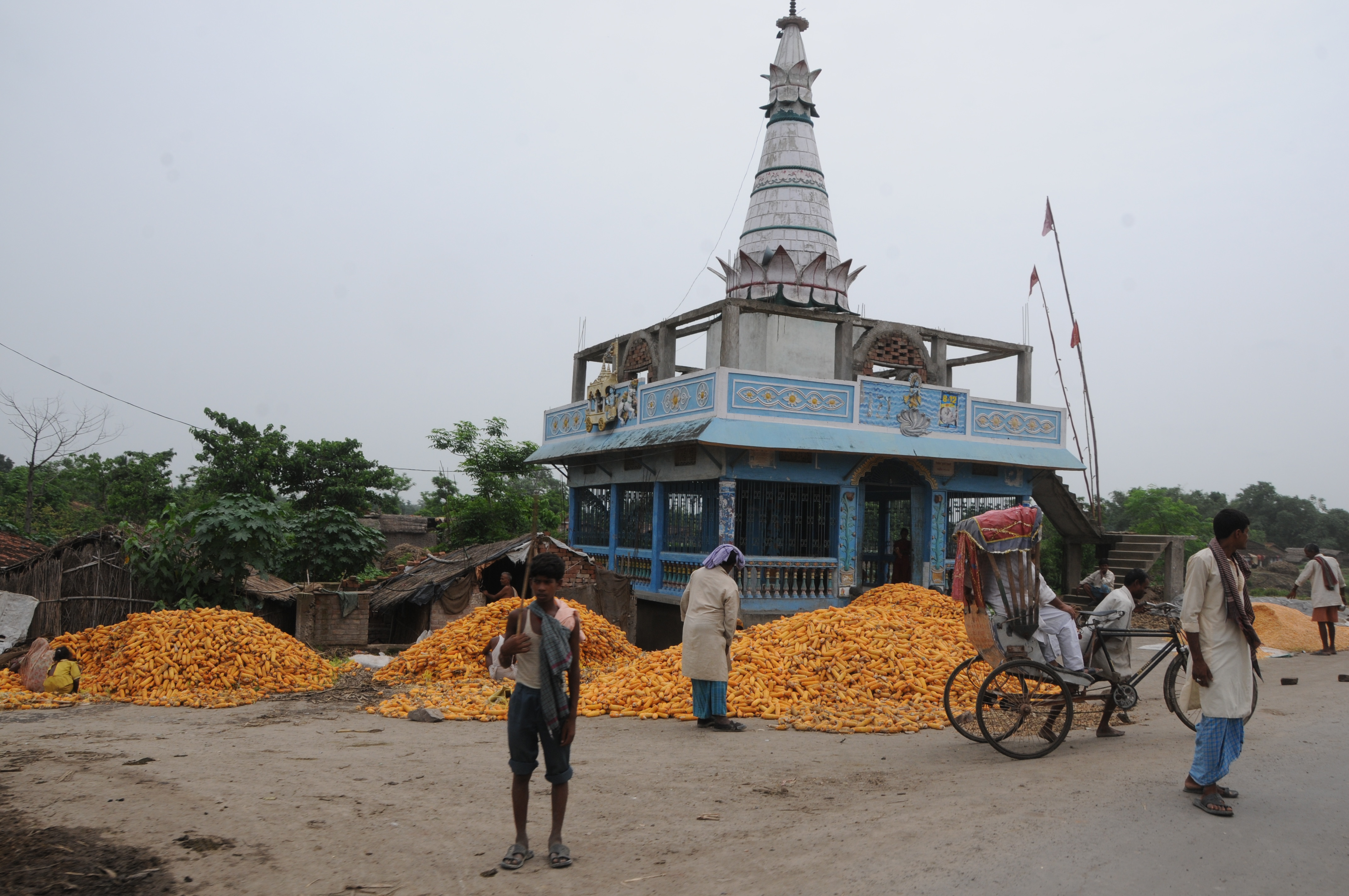
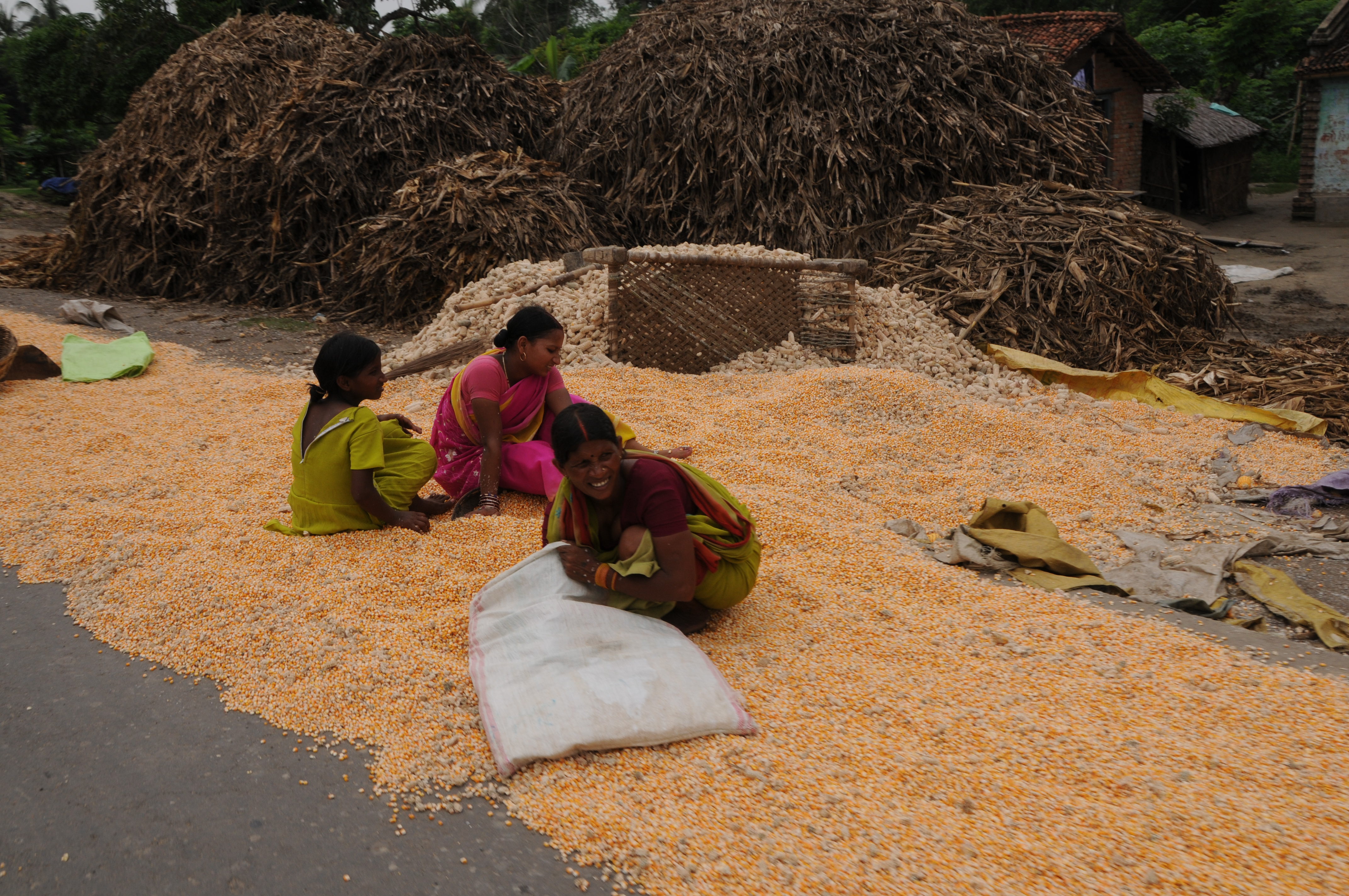
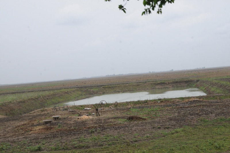
Gorhia, Bihar
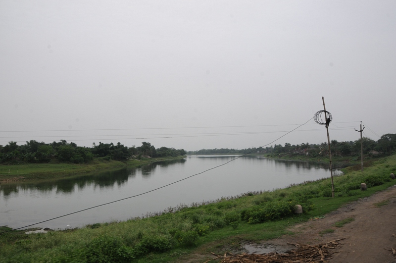
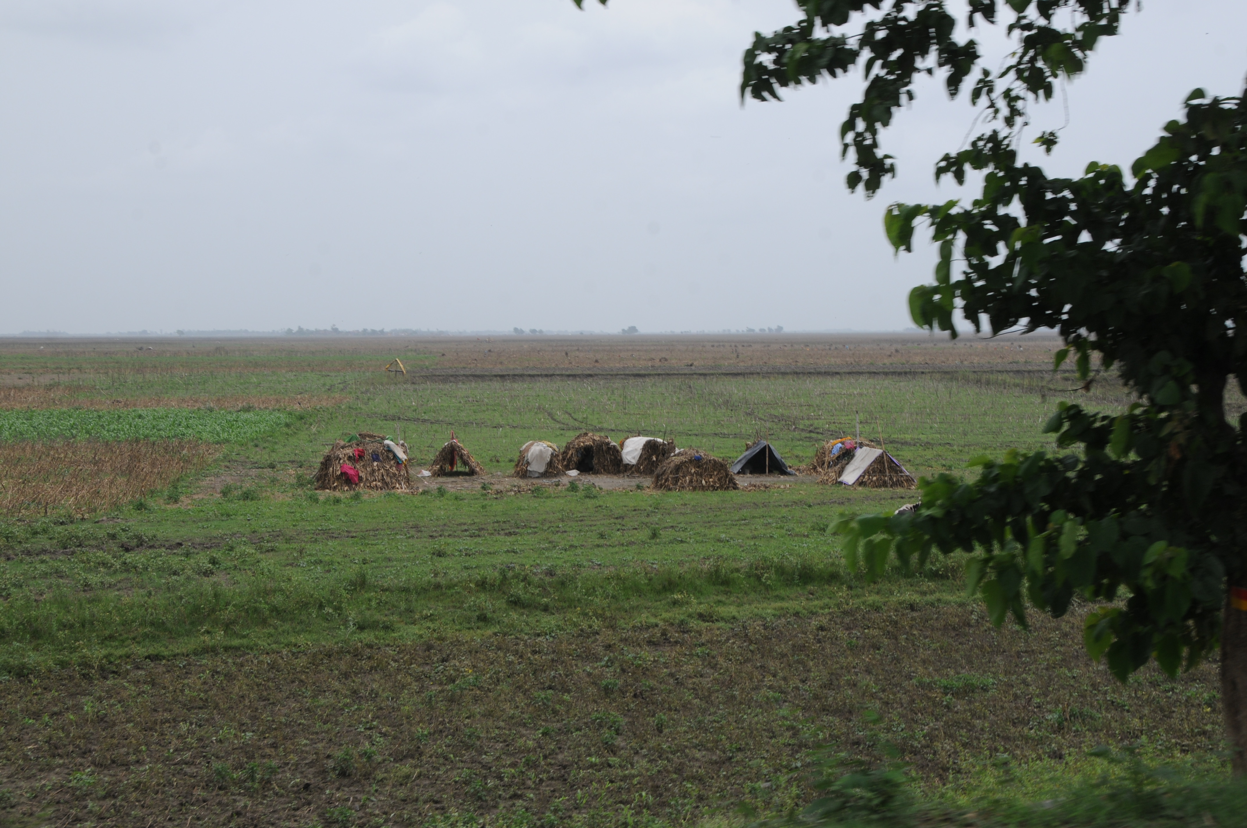
Gorhia, Bihar
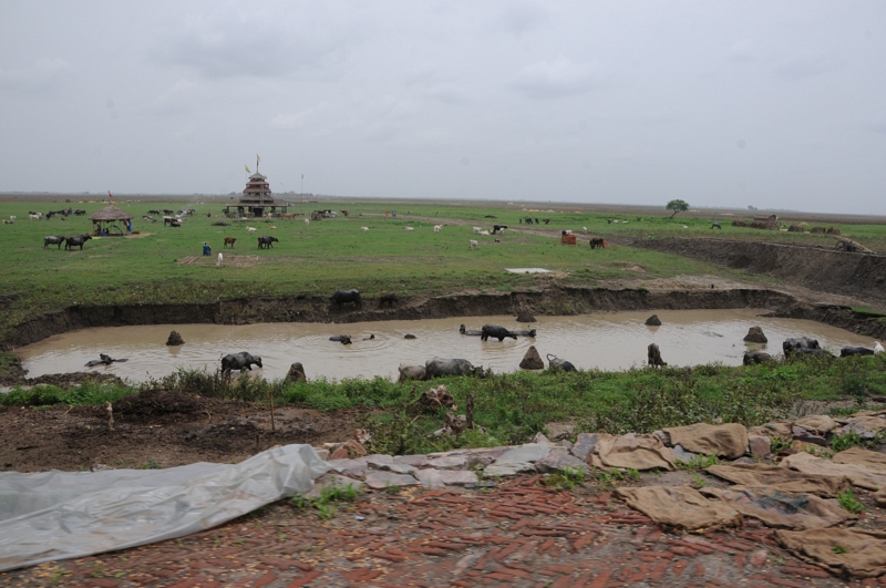
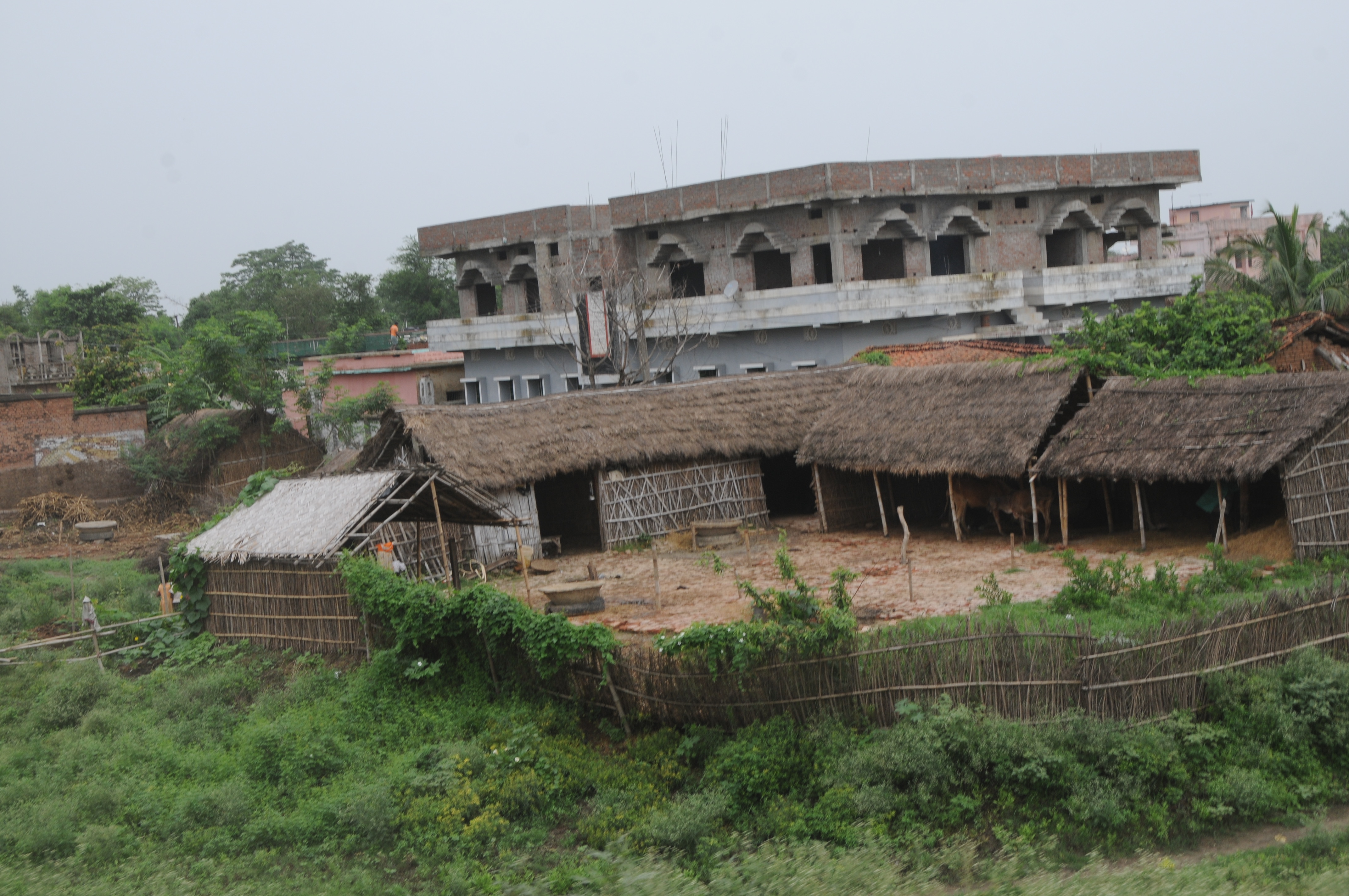
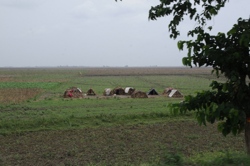
Mehdipur, Bihar
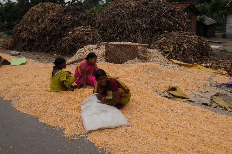
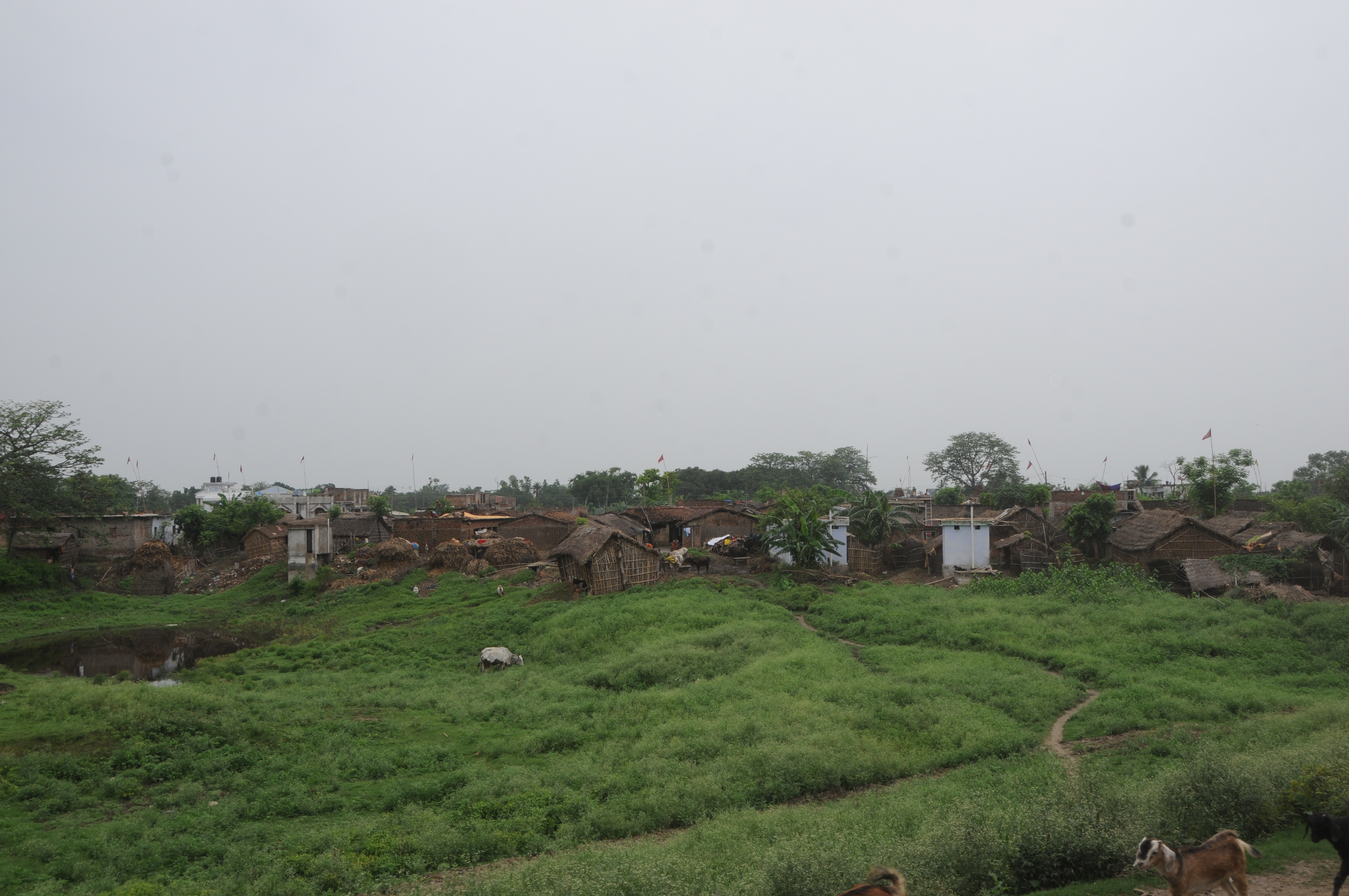
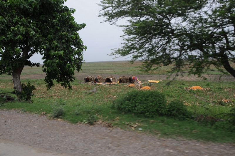
Gorhia, Bihar
CSP_3881.JPG
CSP_3890.JPG
CSP_3898.JPG
Mehdipur, Bihar
CSP_3896.JPG
Mehdipur, Bihar
CSP_3894.JPG
CSP_3885.JPG
Topographic Map of Khagaria, Bihar, India
Find elevation by address:

Places in Khagaria, Bihar, India:
Places near Khagaria, Bihar, India:
Middle School Gauchhari Par
Gouchhari
Khagaria
Munger
Bihpur
Narayanpur
Jamalpur
Bhagalpur
Kharik
Saharsa
Naugachia
Saharsa
Madhepura
Madhepura
Purnia
Begusarai
Samho
Hasanpur
Begusarai
Supaul
Recent Searches:
- Elevation of Corso Fratelli Cairoli, 35, Macerata MC, Italy
- Elevation of Tallevast Rd, Sarasota, FL, USA
- Elevation of 4th St E, Sonoma, CA, USA
- Elevation of Black Hollow Rd, Pennsdale, PA, USA
- Elevation of Oakland Ave, Williamsport, PA, USA
- Elevation of Pedrógão Grande, Portugal
- Elevation of Klee Dr, Martinsburg, WV, USA
- Elevation of Via Roma, Pieranica CR, Italy
- Elevation of Tavkvetili Mountain, Georgia
- Elevation of Hartfords Bluff Cir, Mt Pleasant, SC, USA