Elevation of Keystone Peak, Montana, USA
Location: United States > Montana > Saint Regis >
Longitude: -114.90652
Latitude: 47.2938193
Elevation: 1780m / 5840feet
Barometric Pressure: 82KPa
Elevation Map:
Satellite Map:
Related Photos:
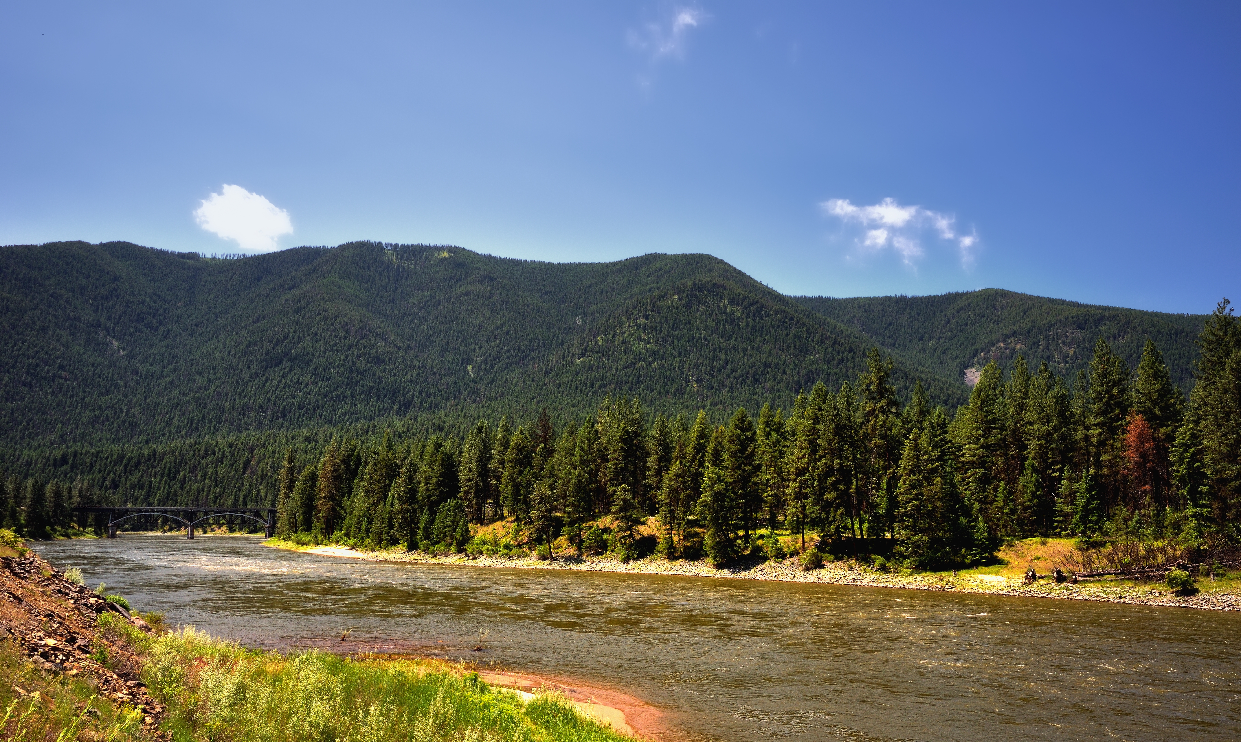
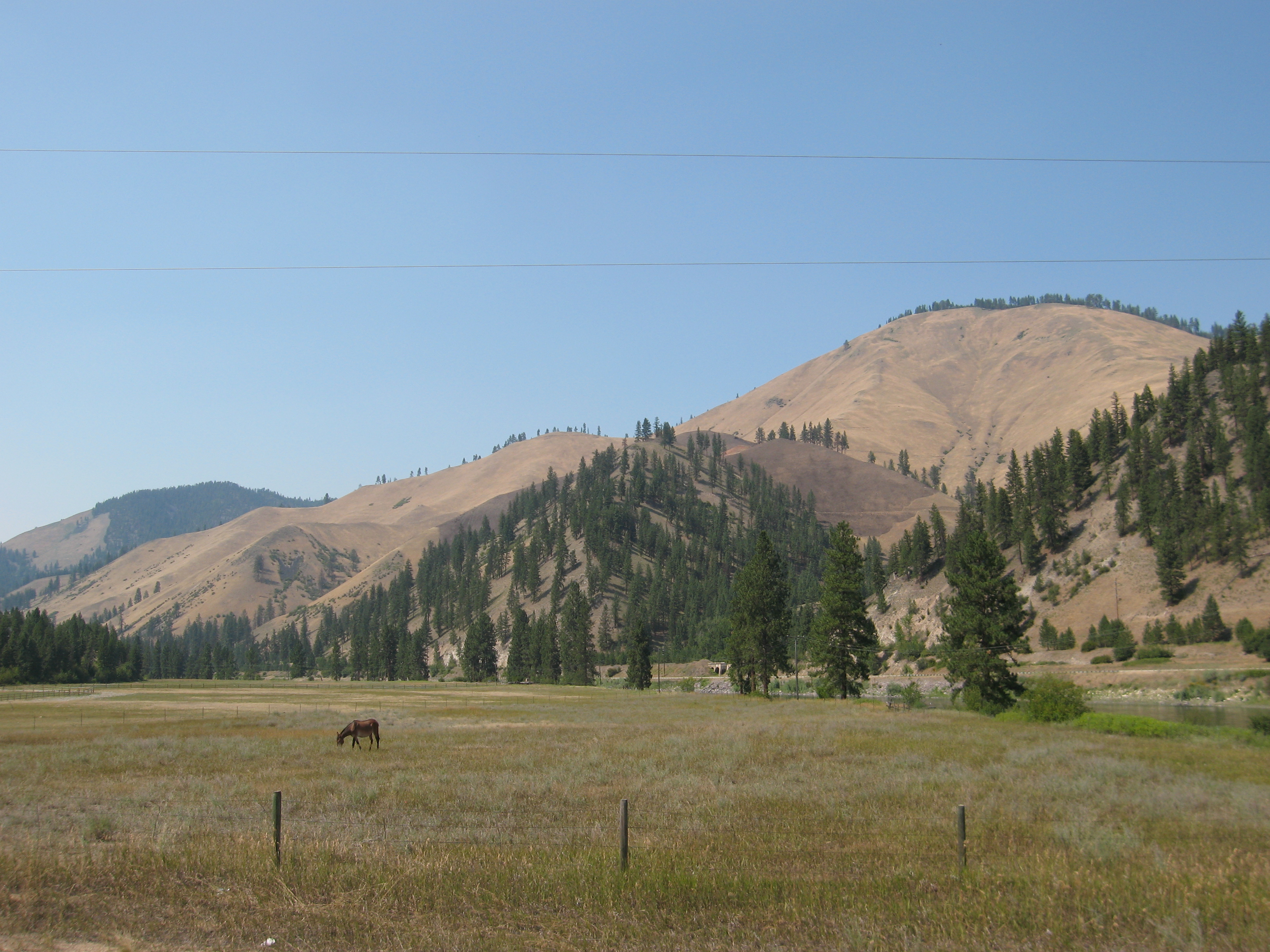
Montana Roadside View
090802_007-View of Superior, Montana
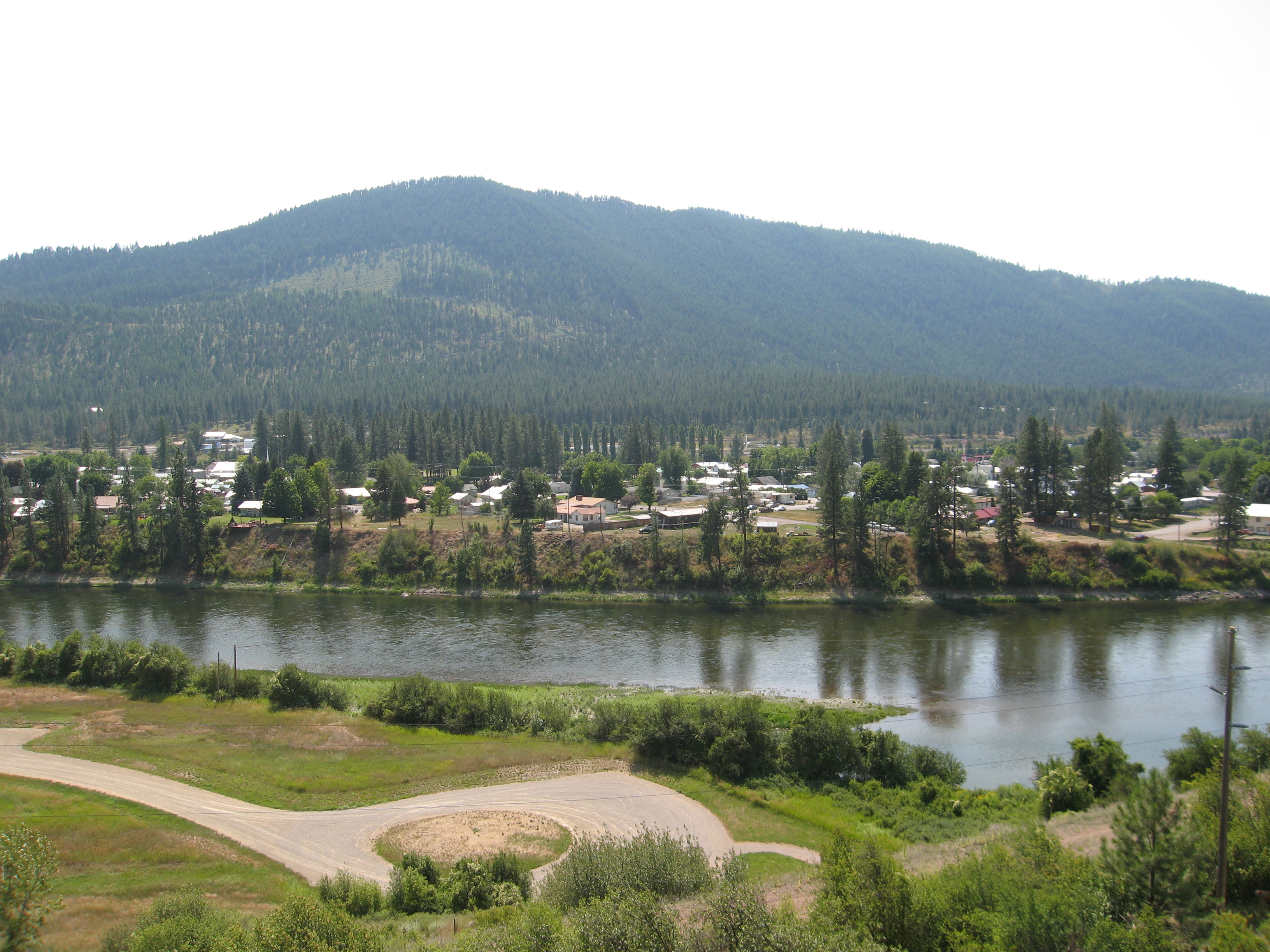
090802_005-View of Superior, Montana
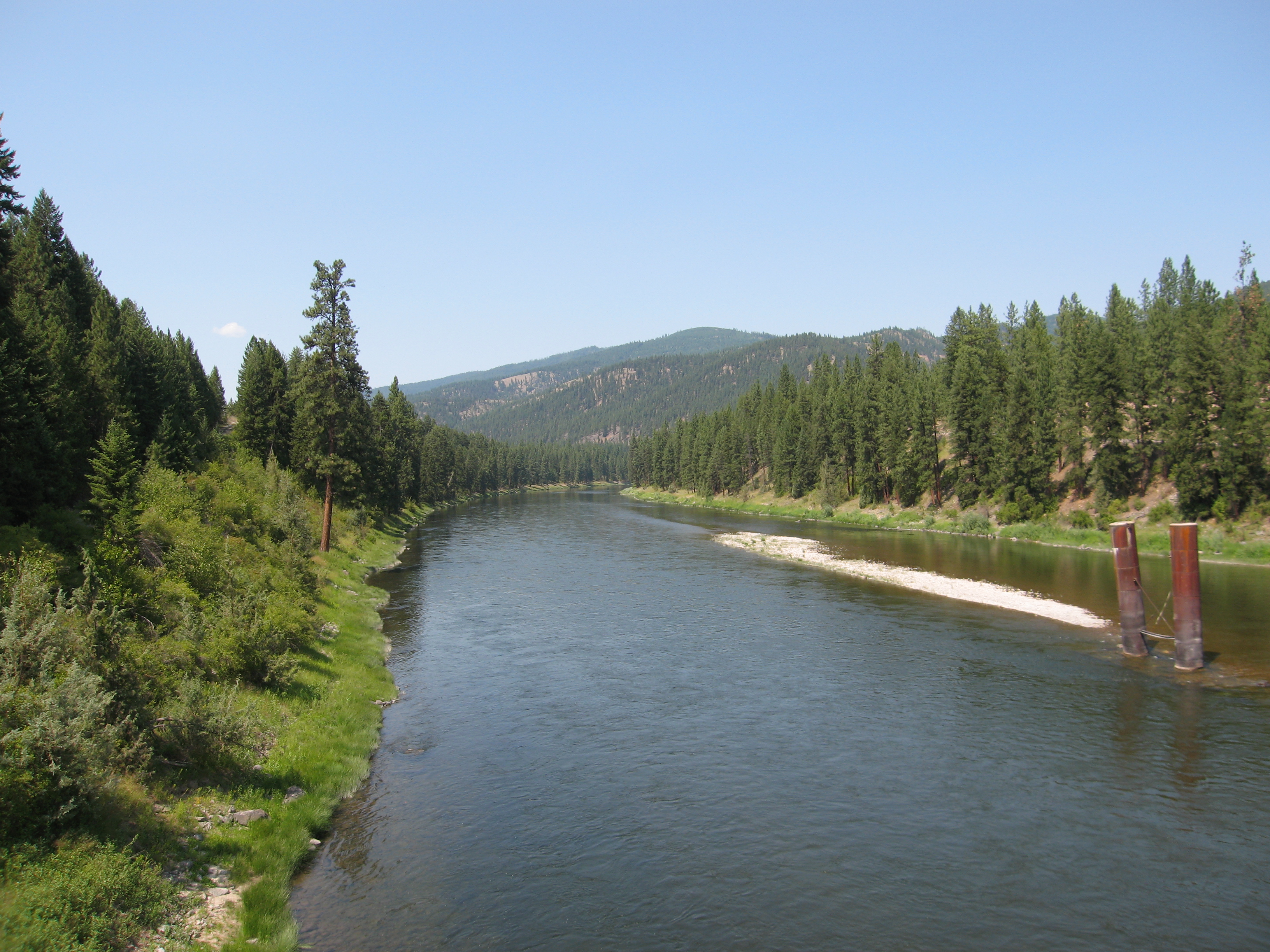
090802_004-View of the Clark Fork from Lozeau Bridge
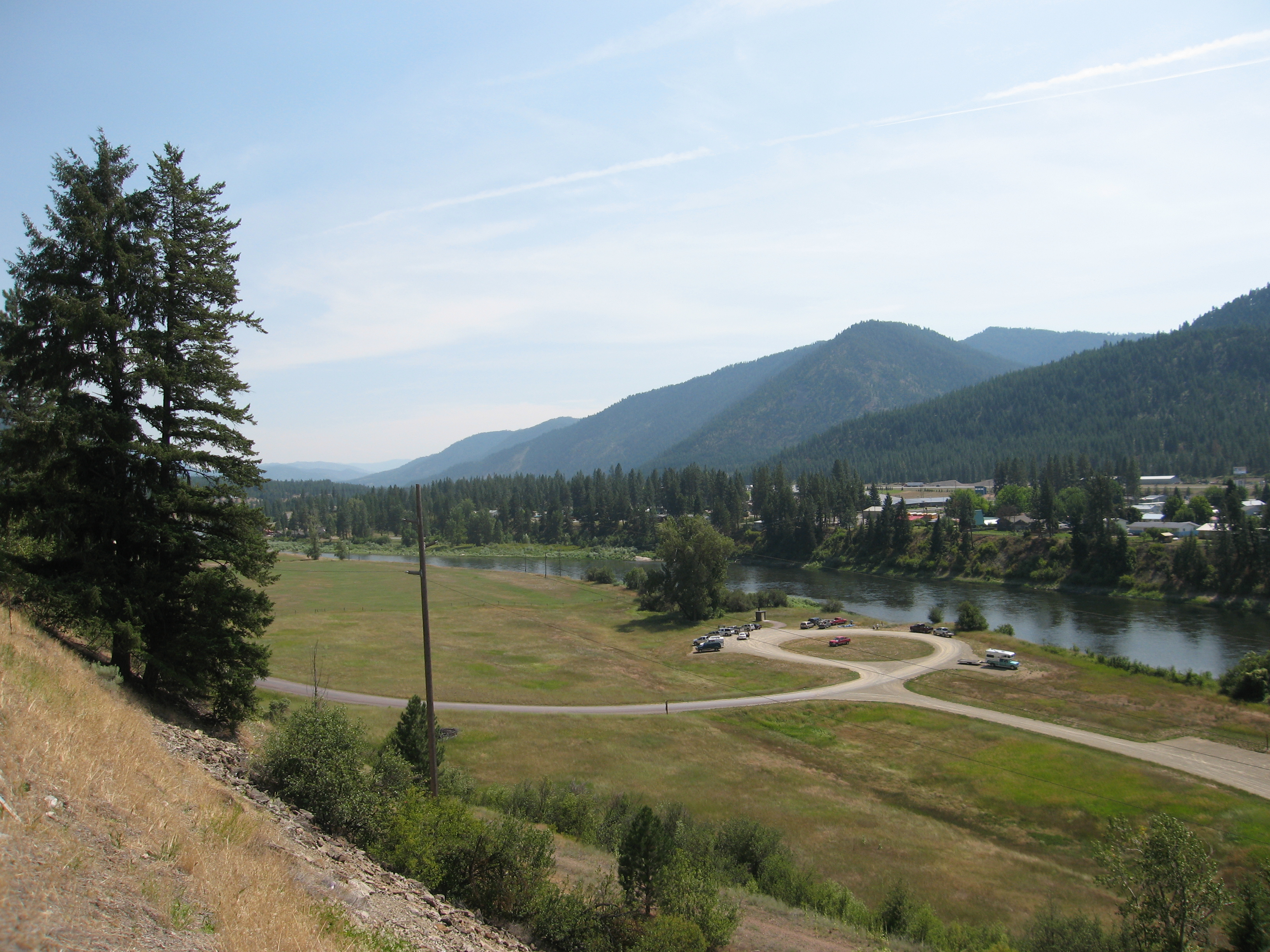
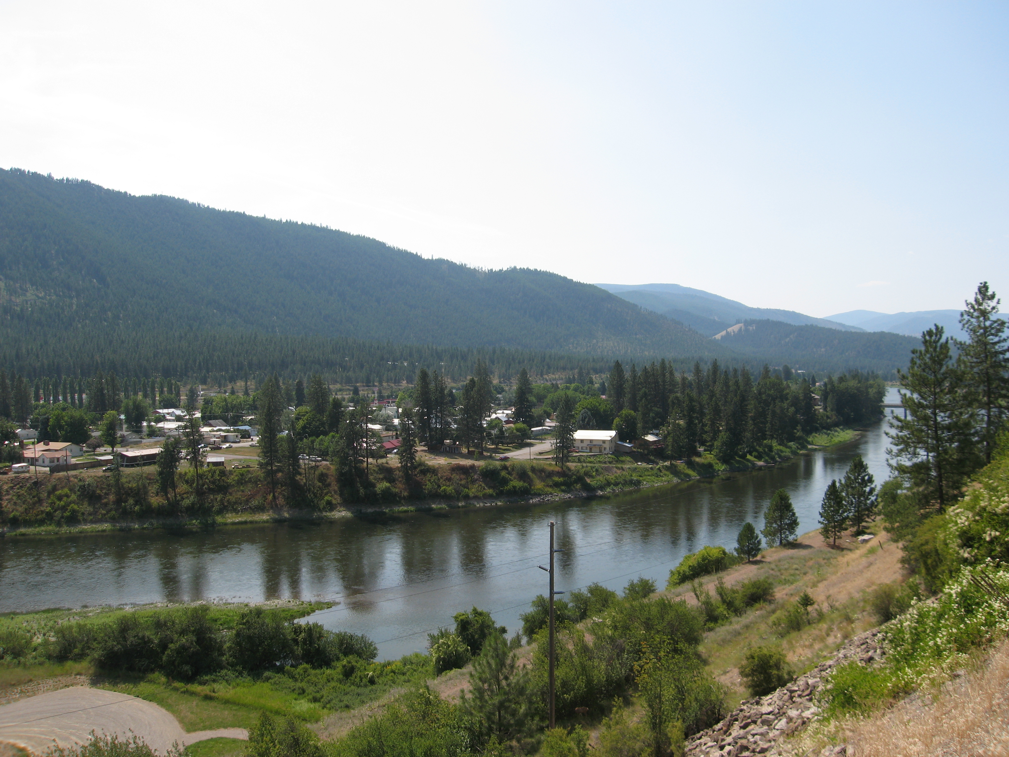
090802_006-View of Superior, Montana
090802_008-View from LaVista cache
Topographic Map of Keystone Peak, Montana, USA
Find elevation by address:

Places near Keystone Peak, Montana, USA:
Keystone Rd, Superior, MT, USA
115 Donlan Flats Rd
Superior
190 Quinn's Canyon Rd
Paradise
7974 Mt-200
Mineral County
4657 Sloway Frontage Rd E
Farmer
Plains, MT, USA
Plains
71 Black Jack Rd
Deemer Ridge Road
Deemer Cr Road
Saint Regis
Meadow Lane
370 Upper Lynch Creek Rd
39 Eagle Valley Ln
230 High Country Rd
345 High Country Rd
Recent Searches:
- Elevation of Corso Fratelli Cairoli, 35, Macerata MC, Italy
- Elevation of Tallevast Rd, Sarasota, FL, USA
- Elevation of 4th St E, Sonoma, CA, USA
- Elevation of Black Hollow Rd, Pennsdale, PA, USA
- Elevation of Oakland Ave, Williamsport, PA, USA
- Elevation of Pedrógão Grande, Portugal
- Elevation of Klee Dr, Martinsburg, WV, USA
- Elevation of Via Roma, Pieranica CR, Italy
- Elevation of Tavkvetili Mountain, Georgia
- Elevation of Hartfords Bluff Cir, Mt Pleasant, SC, USA