Elevation of Kestell, South Africa
Location: South Africa > Free State > Thabo Mofutsanyane > Kestell >
Longitude: 28.6935593
Latitude: -28.308206
Elevation: 1823m / 5981feet
Barometric Pressure: 81KPa
Elevation Map:
Satellite Map:
Related Photos:

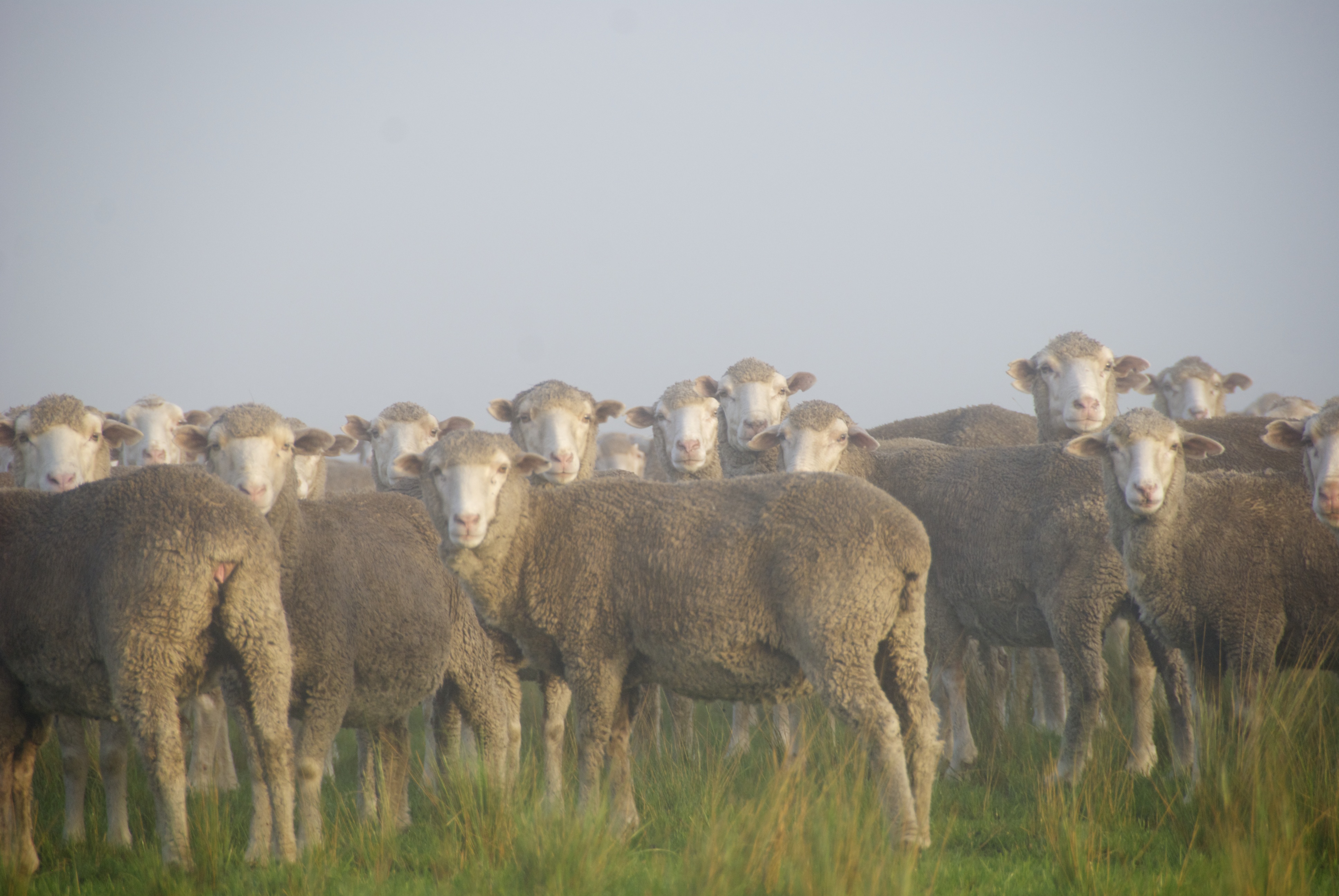
Room with a view
Shep + fog = eerie

Pre-lunch bliss

Zeiling farm

The entrance to the Zeilinga farm

Shep + fog = eerie

Foggy morning on the farm VII

Zeilinga farm

A storm is coming

Thunderstorm II
Topographic Map of Kestell, South Africa
Find elevation by address:

Places in Kestell, South Africa:
Places near Kestell, South Africa:
Botha Street
Kestell
Qwaqwa
Phuthaditjhaba-a
Phuthaditjhaba
Hydro Street
Fcgh+w9
Clarens
Clarens
Bethlehem
Harrismith
The Cavern Drakensberg Resort & Spa
Thabo Mofutsanyane
Bezuidenhouts Pass
Amphitheatre Backpackers Lodge
Mkukwini
Maliba Lodge
Bergville
Leribe
Cathedral Peak Hotel
Recent Searches:
- Elevation of Corso Fratelli Cairoli, 35, Macerata MC, Italy
- Elevation of Tallevast Rd, Sarasota, FL, USA
- Elevation of 4th St E, Sonoma, CA, USA
- Elevation of Black Hollow Rd, Pennsdale, PA, USA
- Elevation of Oakland Ave, Williamsport, PA, USA
- Elevation of Pedrógão Grande, Portugal
- Elevation of Klee Dr, Martinsburg, WV, USA
- Elevation of Via Roma, Pieranica CR, Italy
- Elevation of Tavkvetili Mountain, Georgia
- Elevation of Hartfords Bluff Cir, Mt Pleasant, SC, USA