Elevation map of Free State, South Africa
Location: South Africa >
Longitude: 26.7967849
Latitude: -28.454110
Elevation: 1429m / 4688feet
Barometric Pressure: 85KPa
Elevation Map:
Satellite Map:
Related Photos:
DUTCH IRIS
Kinzie's View...

Killer Bokeh
Dark Fantasy, North Cascades Highway
"I have been driven many times to my knees by the overwhelming conviction that I had absolutely no other place to go." -- Abraham Lincoln

Singapore - Kranji

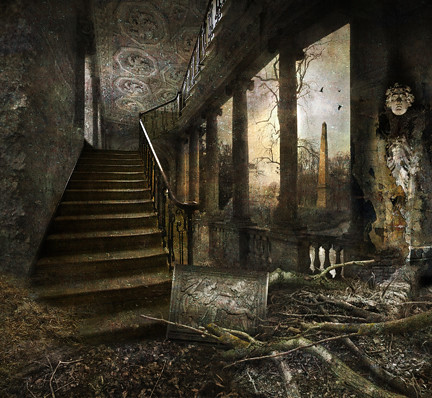
Abandoned.
Wildriver State Park
Utah State Route 95

Upper Falls
City High...
The Bridge by Night
Stowe I
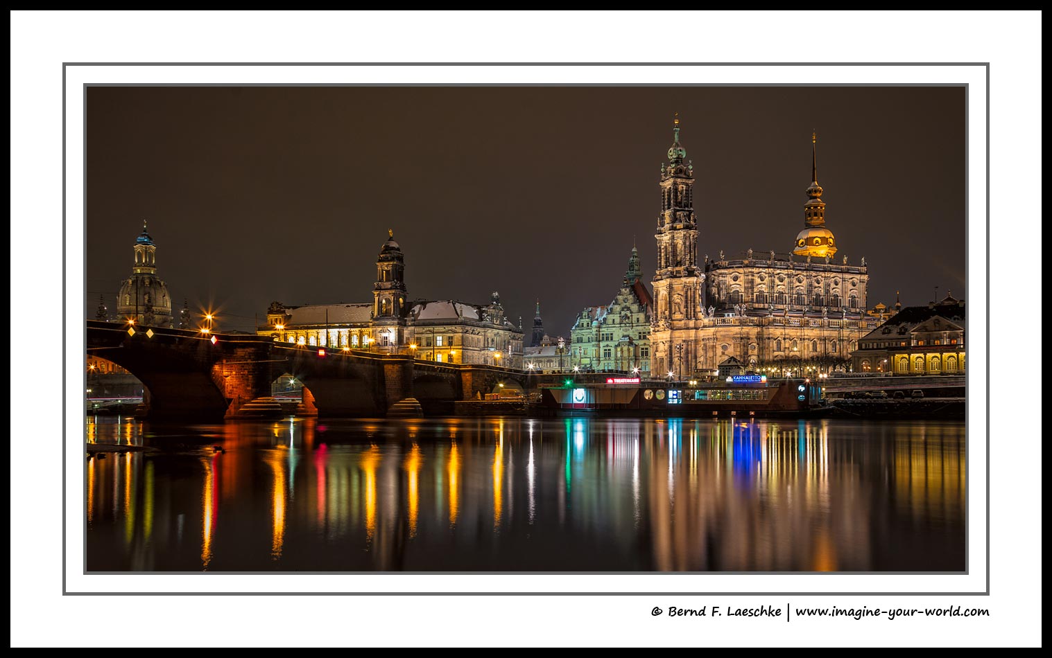
Dresden - The capital of Saxony, Germany (II)
"Judge not; condemn not" -Luke 6:37
Jane Says . . . [Explored 6/10/15]

Steptoe Butte.

contemplating... i'm ready to fly!
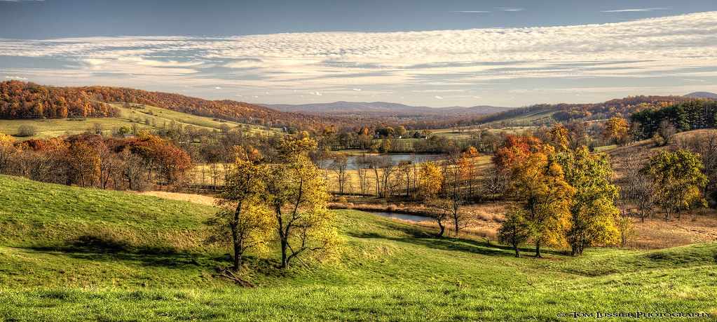
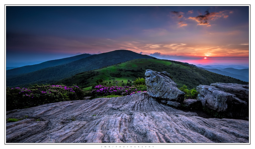
Sky Meadows Autumn
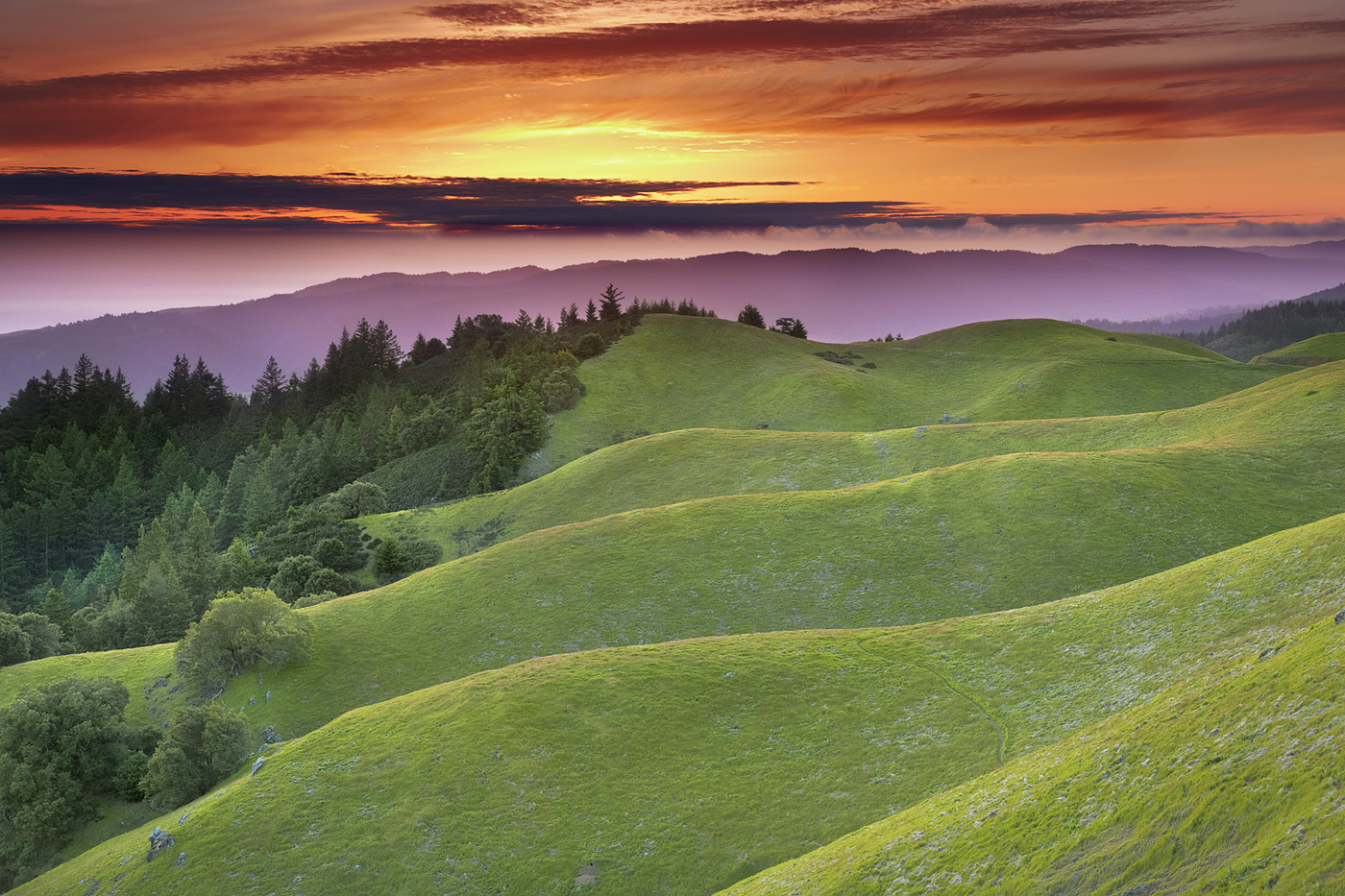
Faultlines - Mt. Tamalpais, Marin County, California

dot.

Road through the Golden Gate
Golden Gate National Park
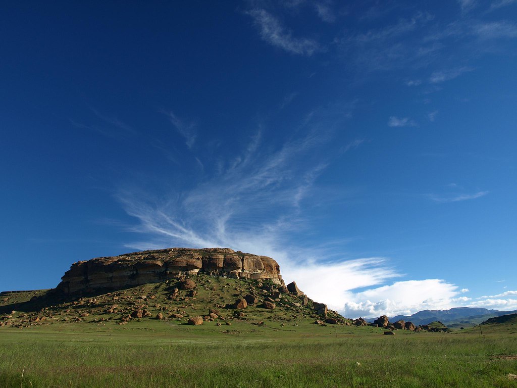
New Horizons - Clarens, Free State, South Africa
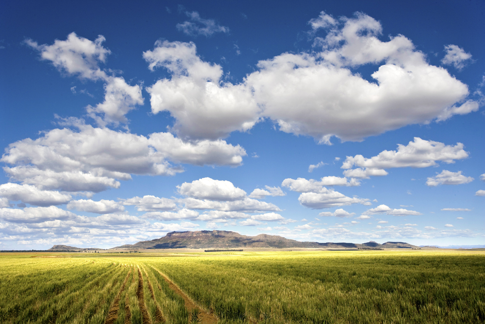
Land of the Free

FORT DUNREE, DUNREE, INISHOWEN, CO. DONEGAL, IRELAND.

FORT DUNREE, DUNREE, INISHOWEN, CO. DONEGAL, IRELAND.

Brühl's Terrace

Sunflower field
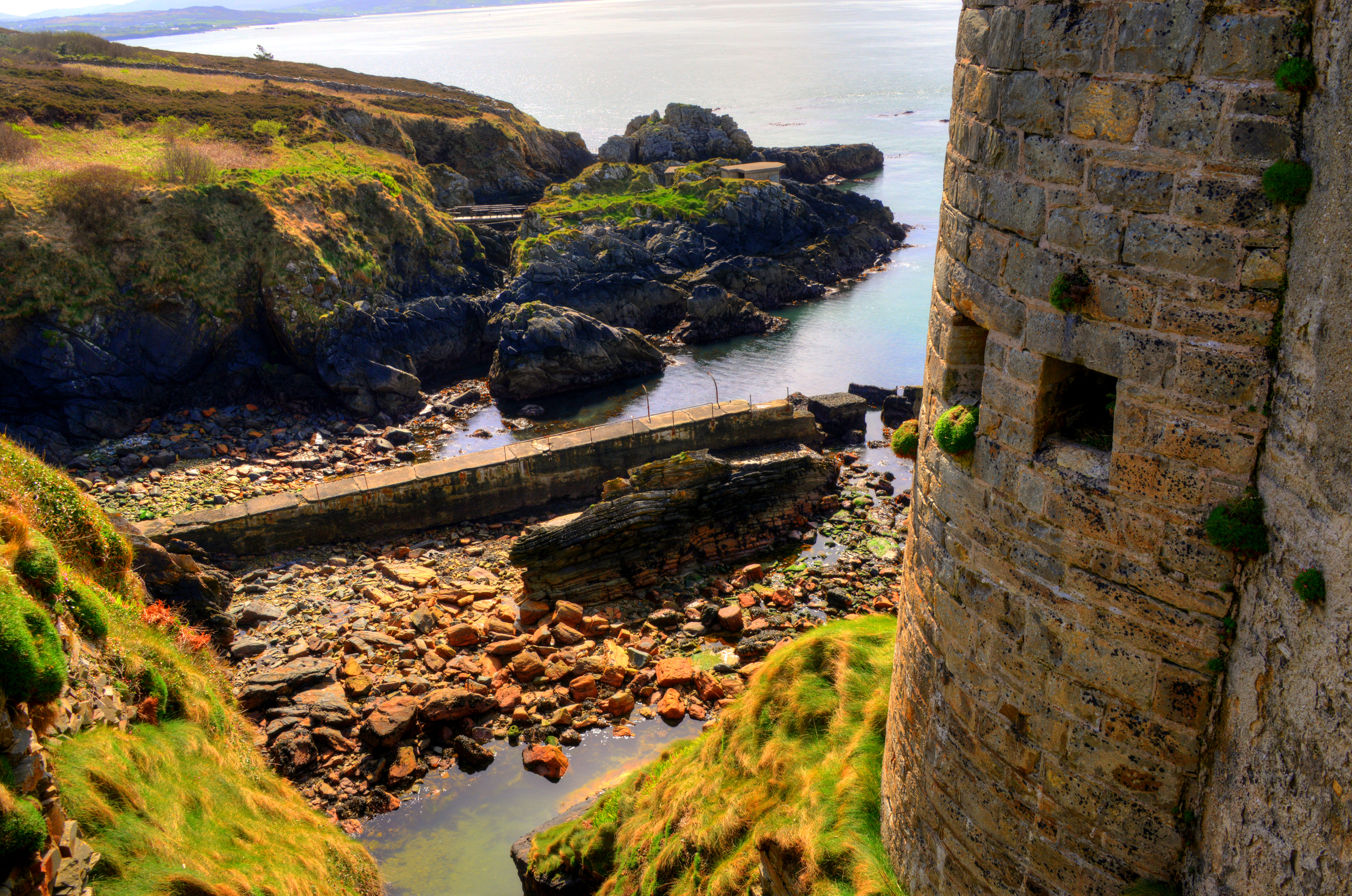
FORT DUNREE, DUNREE, INISHOWEN, CO. DONEGAL, IRELAND.
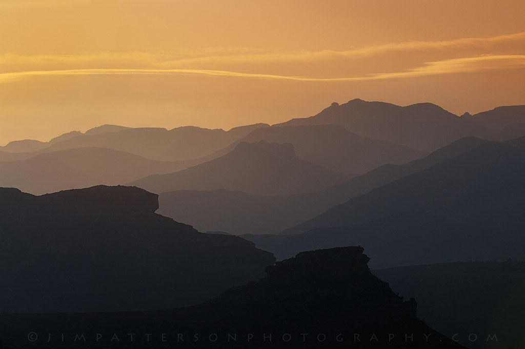
34. Orange Sunset Free State
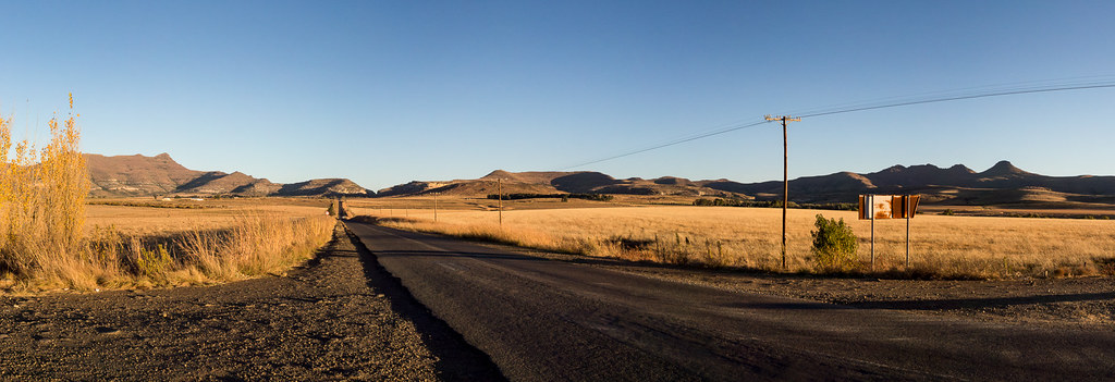
Farm Road

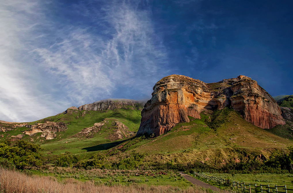
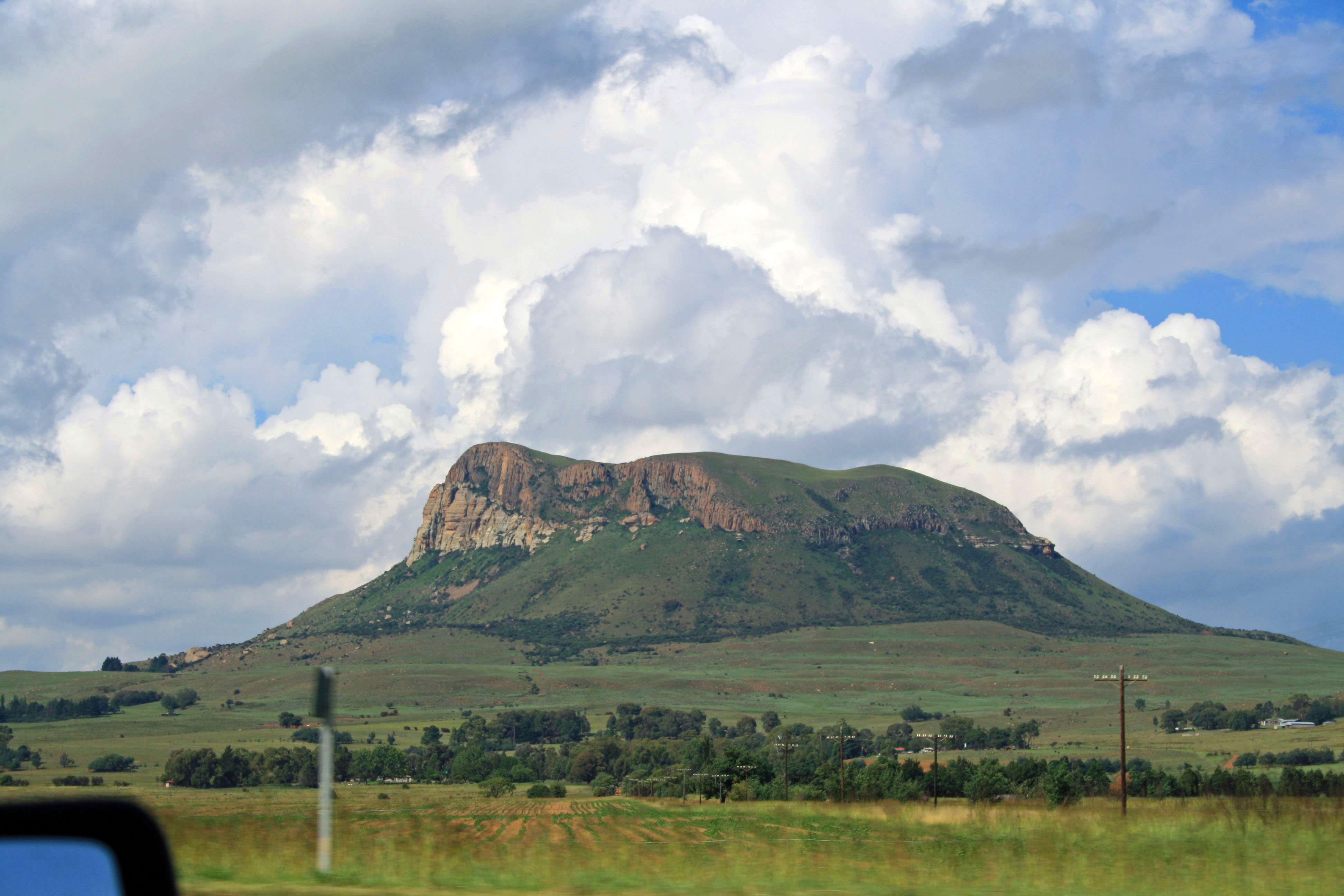
35. Golden Gate
African countryside

FORT DUNREE, DUNREE, INISHOWEN, CO. DONEGAL, IRELAND.
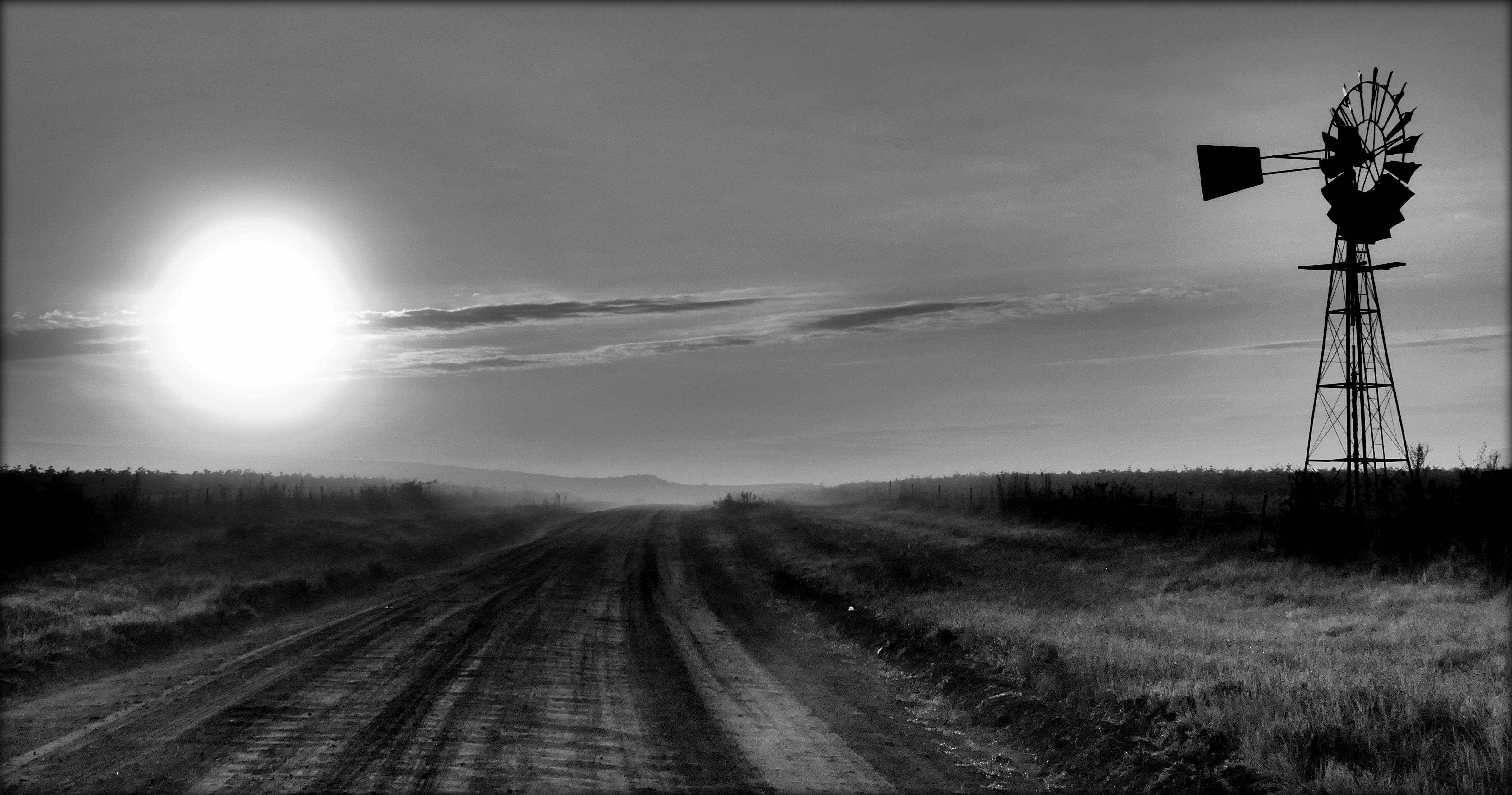
Farm road sunrise

Green Fields
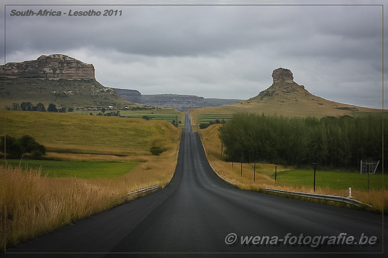
Lesotho - Malealea I
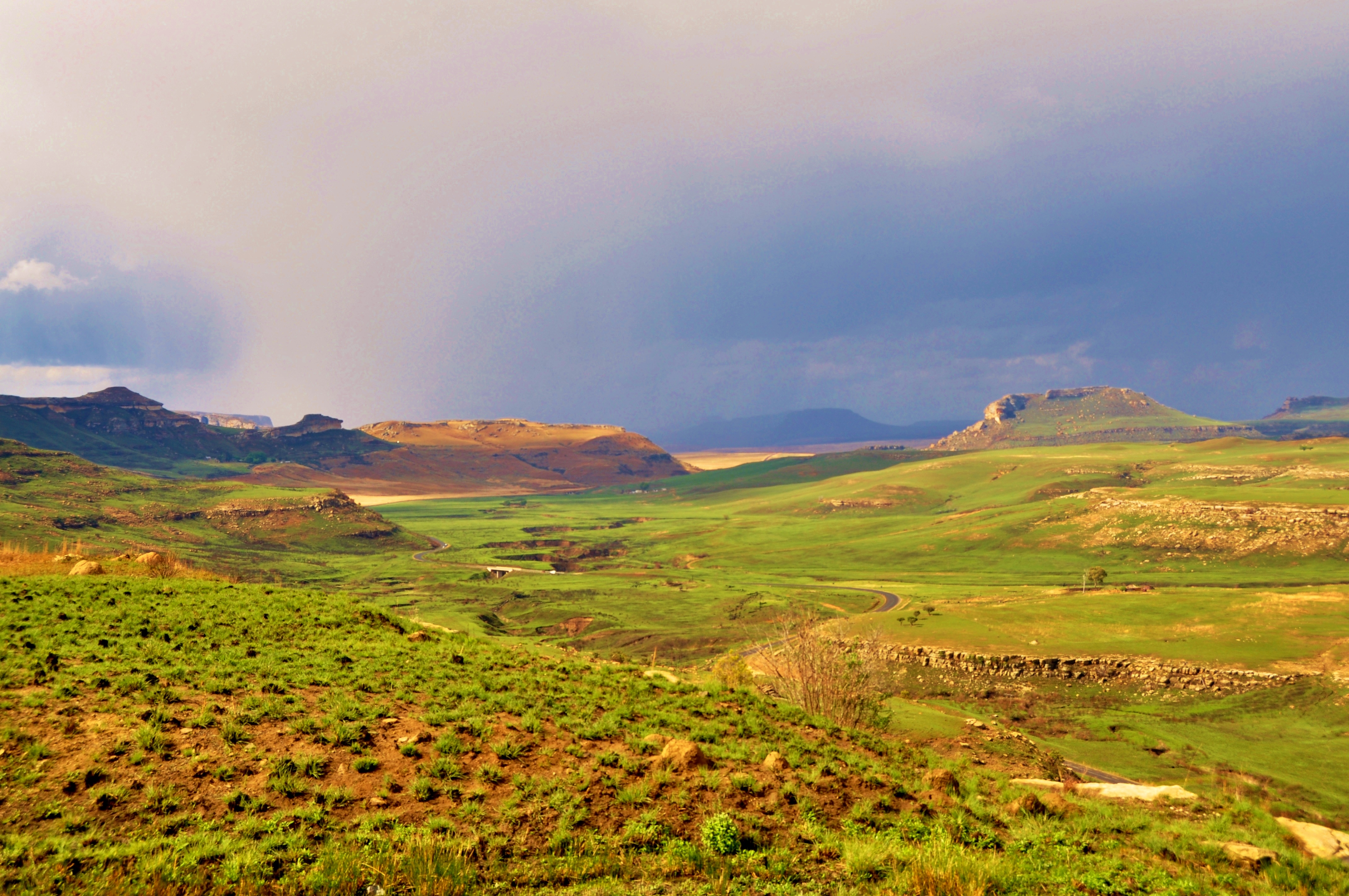
Torrential rainfall near the long, winding road (Free State, South Africa)
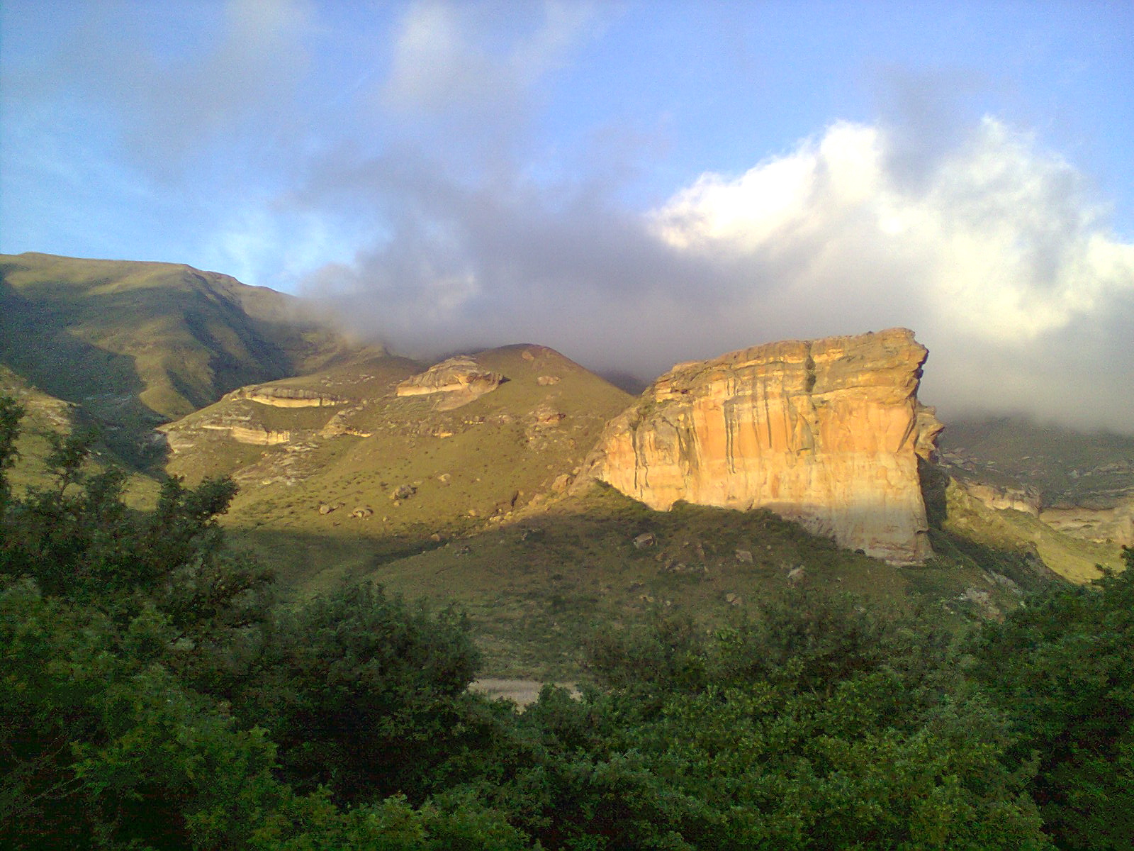
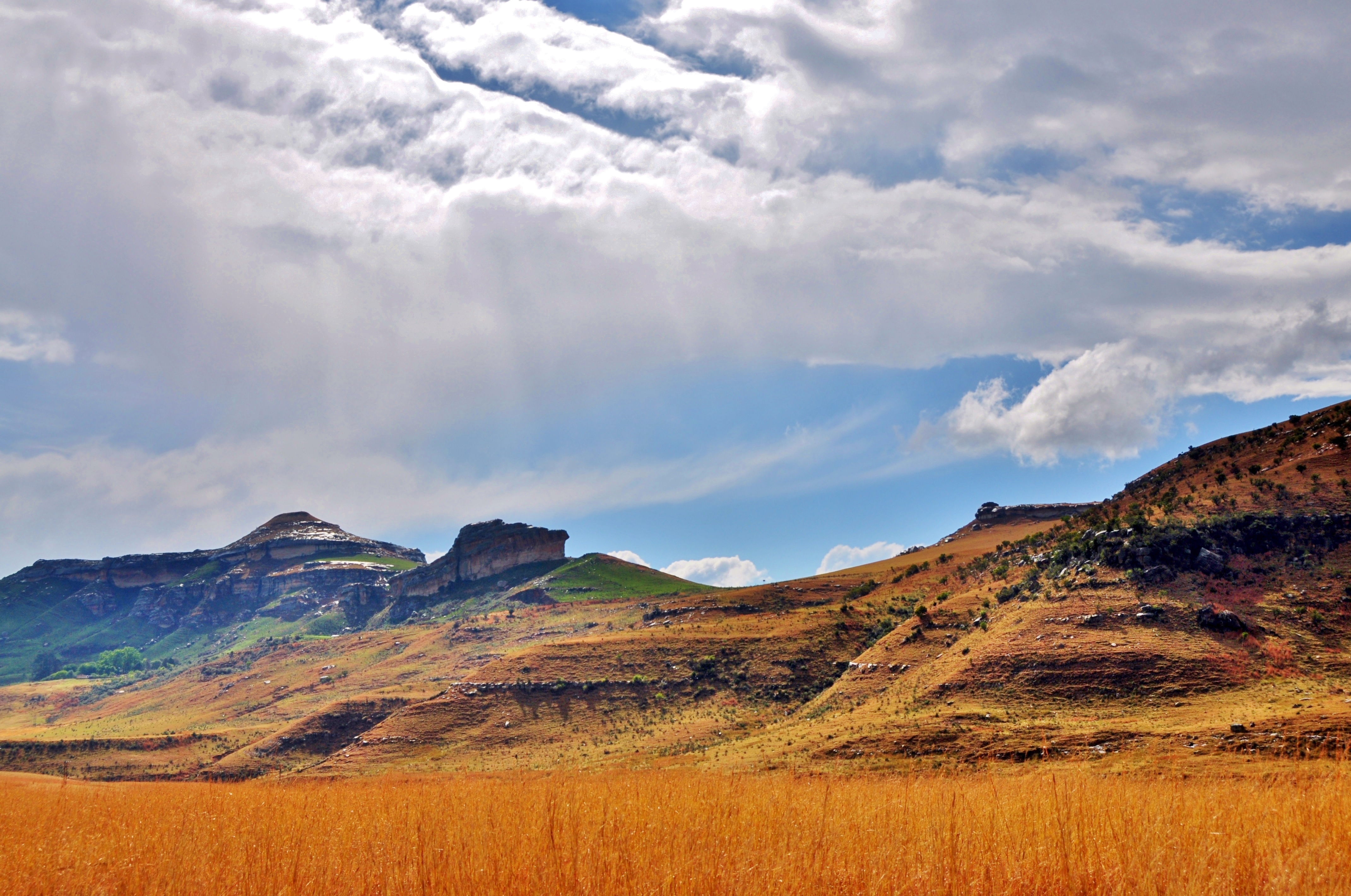
Golden Gate Highlands National Park
Drive-by Shooting II
Topographic Map of Free State, South Africa
Find elevation by address:

Places in Free State, South Africa:
Places near Free State, South Africa:
Recent Searches:
- Elevation of Corso Fratelli Cairoli, 35, Macerata MC, Italy
- Elevation of Tallevast Rd, Sarasota, FL, USA
- Elevation of 4th St E, Sonoma, CA, USA
- Elevation of Black Hollow Rd, Pennsdale, PA, USA
- Elevation of Oakland Ave, Williamsport, PA, USA
- Elevation of Pedrógão Grande, Portugal
- Elevation of Klee Dr, Martinsburg, WV, USA
- Elevation of Via Roma, Pieranica CR, Italy
- Elevation of Tavkvetili Mountain, Georgia
- Elevation of Hartfords Bluff Cir, Mt Pleasant, SC, USA